Fancy a free tank of gas for your road trip ride? Read on.
Howdy folks ! With the Tioga pass now closed for the winter season, it's time to turn our attention to Spring 2021 and predict when we think the Tioga pass will open up to travellers once again.
A wonderful winter image from the Sentinel webcam.
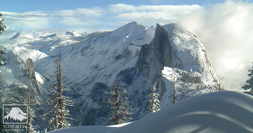
Tioga pass is found in Yosemite National park along California state route 120 where it crosses the Sierra Nevada and is usually the last of the mountain passes to open up across the Sierra's. As such, it has become the RTA harbinger for the start of the summer road trip season in the west. This is a tricky one to predict with our last Spring opening Champion being tantrum in 2015 although Mark Sedenquist is our reigning Tppc (Tioga pass prognosticator champion) when he correctly predicted the winter closing in 2018. Now it's time to see if we can find a new champ who can correctly predict when the pass will open for the Spring of 2021. We don't mind how you do it, you can use a crystal ball, study data or just throw a dart at the calendar, ***as long as you follow the rules posted below.*** So, have you got what it takes to be crowned the Spring 2021 Tioga pass prognosticator ??
The contest.
You are welcome to use your predictive talents and if you manage to hit the correct date -- the RTA Editorial group will pay for a tank of Roadtrip fuel in your personal roadtrip ride. Legal has suggested that we identify what this means.... So, for the record, the prize will be limited to $75.00 USD* ************Forum Moderator, Dave Gomm, (Southwest Dave) is the official Sheriff and Chief Wrangler for this contest and his rulings as to the naming of the winner are final, (& they can also be arbitrary & capricious) Got a beef? Or a question? Take it up with him...
The rules.
*** To win this prize, the date must be posted** on this Forum more than or equal to fifteen (15) days prior to the official Tioga Pass Road OPENING date. **Your "date" must be identified in a post on this thread
** ** Further, you must identify a particular time in your post (date and time is required for the winning entry). *And if you manage to identify the correct opening time within 60 minutes.... you'll receive an additional surprise gift from RTA.
*** Once you have selected your date you must select the relevant date range in the Poll above.
* A single calendar date can only be claimed by one member. If two or more members chose the same calendar date, and that date proves to be the "Winning Date", the prize will go to the member who "claimed" the date the earliest in this contest period.
*The official date for this Tioga Pass Prognosticator contest tracks with Pacific Time (USA), so no matter what date it might be in your local neighbourhood, the date used for this contest will be the same one used by the officials at Yosemite National Park for Tioga Pass.***
Here is a list of our previous Tioga pass prognosticator Champs.
Mark Sedenquist. Winter closing 2018
*** tantrum, Spring 2015 Opening
George Carey (glc), Spring 2014 Opening
George Carey (glc), Spring 2013
Opening Jessica Beagles-Roos (CAnative), Spring 2011 and Winter 2011 (although it actually closed in 2012)
Brian Shannon (Exodus) Spring, 2010
Phil Boardman, (PhilB) Spring 2009
weirj Winter 2008 -
......and our list of Dctpp's. (Darn close Tioga pass Prognosticators)
*****************anuj1985 Winter 2019
**************Southwest Dave. Spring 2019
************** tseeb Spring 2018
************** Mark Sedenquist, Winter 2017
**************Southwest Dave Spring 2017
**************travelingman Winter 2016
*************Jessica Beagles-Roos [CANative] Spring 2016
*************Jessica Beagles-Roos, (CaNative), Winter 2013
*************George Carey (glc), Spring 2012
*************Sheriff Dave Gomm (Southwest Dave), Winter 2010
*************Don Casey (CalOldBlue), Winter 2009
*************Lynn & Victor (Hotel Charlotte), Spring 2008
*************Joey (Kinless), Spring 2007
(The Winter closing competition was cancelled due to the uncertainty surrounding the pandemic)
Below you will find information from previous years that may help you in your choice.
Official Tioga Pass openings in recent years:
2020 June 15th (9am)
2019 June 21st (9am) *** This was a time restricted opening to traffic and fully opened on July 1st 8am)***
2018 May 21st (9am)
2017 June 29th, (8am)
2016 May 18th (Noon)
2015 May 4th (8 am)
2014 May 2nd (Noon)
2013 May 11th (Noon)
2012 May 7th (Noon)
2011 June 18th (8:45 am)
2010 June 5th (8:00 am)
2009: May 19th (10:30 am)
2008: May 21st (8:00 am)
2007: May 11th (this was an early one!)
2006: June 17th
2005: June 24th
2004: May 14th
2003: May 31st
2002: May 22nd
2001: May 12th
A link to historic opening and closing dates from Yosemite's official webpage.
And a view of whats happening in Yosemite right now.
And here are the Spring opening threads from the last decade.
Spring opening 2020.
Spring opening 2019.
Spring opening 2018.
Spring opening 2017.
Spring opening 2016.
Spring opening 2015.
Spring opening 2014.
Spring opening 2013.
Spring opening 2012.
Spring opening 2011.
Spring opening 2010.
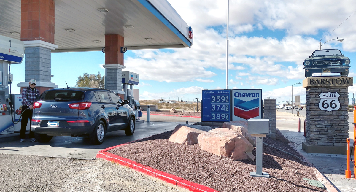
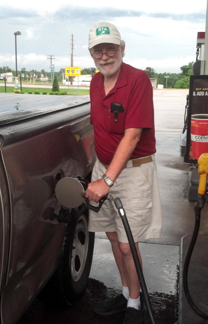
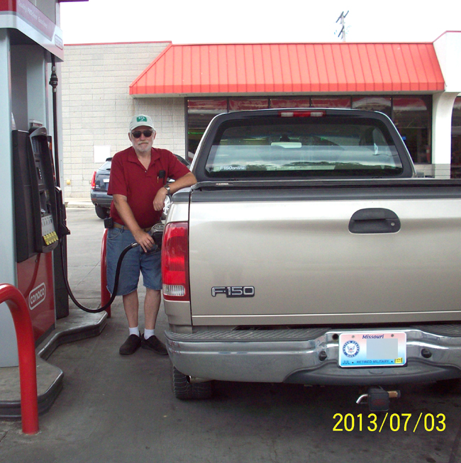
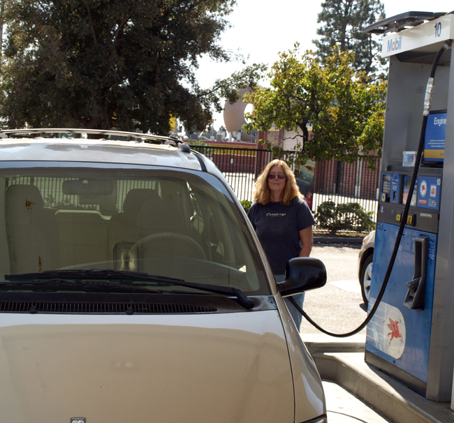
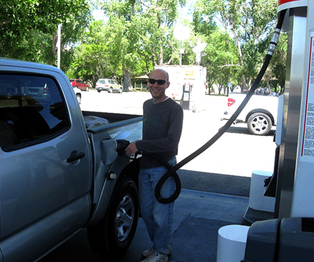
And here are some POG photos. (Proof of gas as our winners fill their road trip rides )
Mark Sedenquist. Winter closing 2018. (and reigning Champ !)
George Carey. Spring opening 2014.(glc)
George again in Spring 2013.
CAnative Spring 2011
Brian Shannon. (Exodus) Spring, 2010.
Phil Boardman (PhilB) Spring 2009
Best of luck everyone and here's hoping for an end to this awful pandemic and a happy Road trippin season in 2021 !!
Dave.




 Reply With Quote
