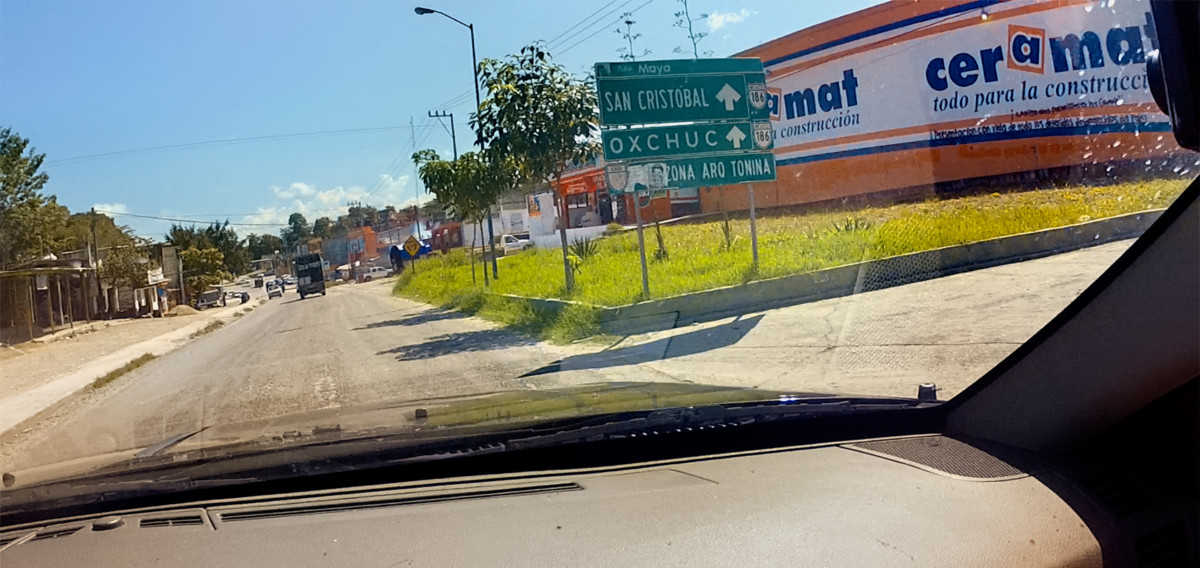
OCOSINGO
There was quite a lot happening in Ocosingo, the halfway point of this days drive. The town was bigger than I expected, with a population of 40,000 and many businesses. Ocosingo is the access point to Tonina, an important Mayan ruin, but, sadly, we just didnt have time for it.
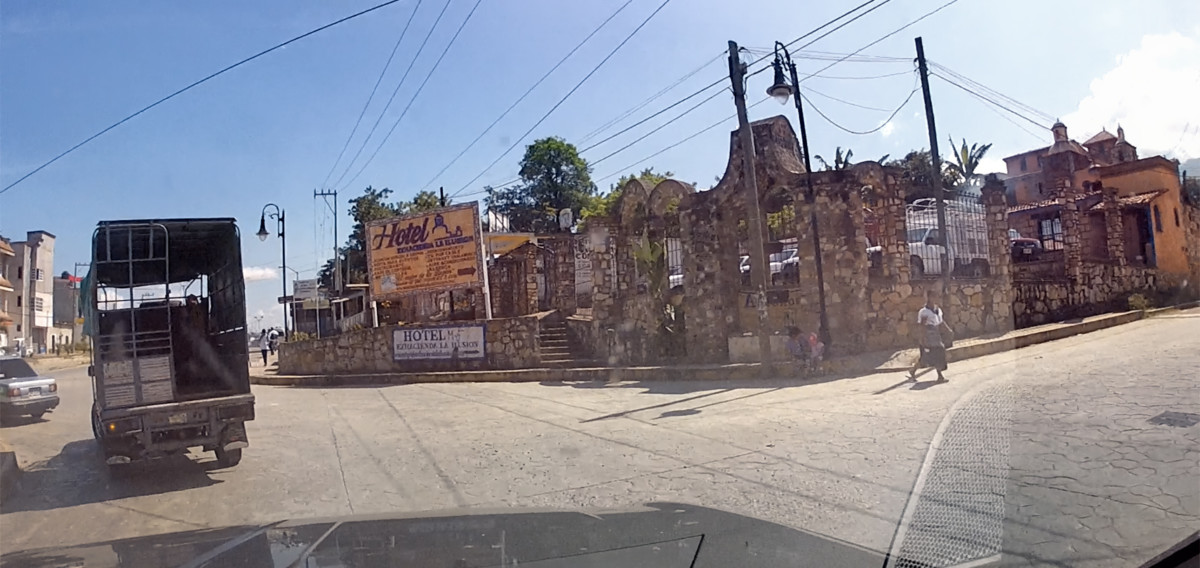
We noticed an unusual stone building: the Hotel Hacienda La Ilusion (The House of Illusion). Not sure how nice it was, as hotels go, but I was intrigued by the name!
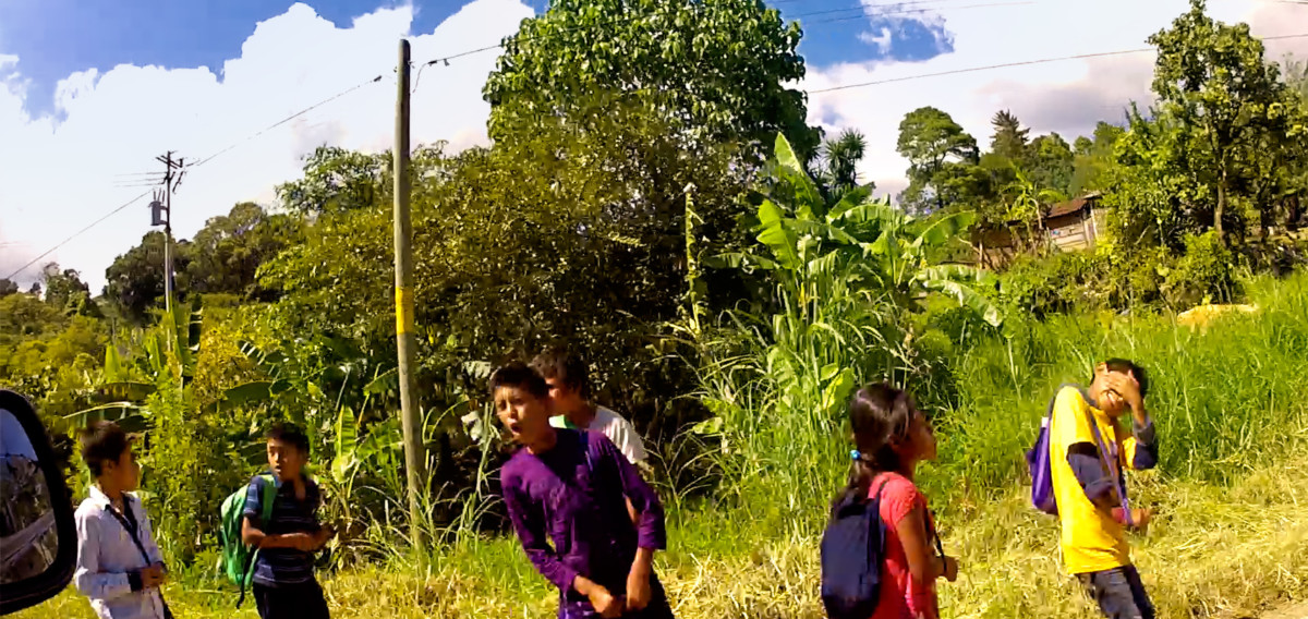
We passed a group of children walking home from school; the young gentleman in the purple shirt shouted an enthusiastic greeting consisting of a single word: PUTO! (Loose translation: F**ker!)
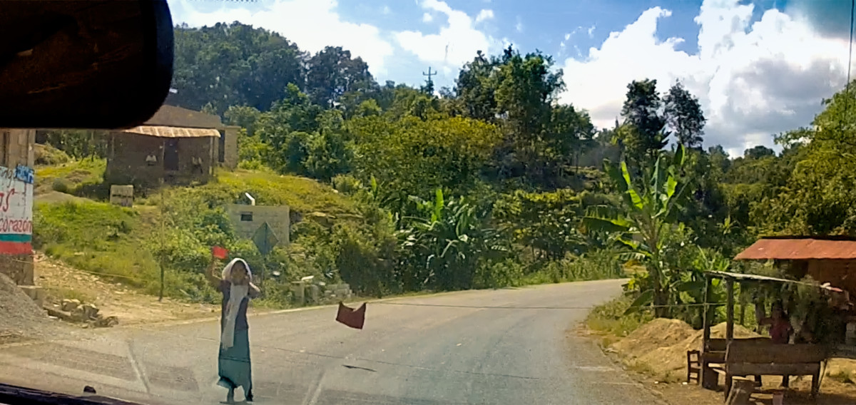
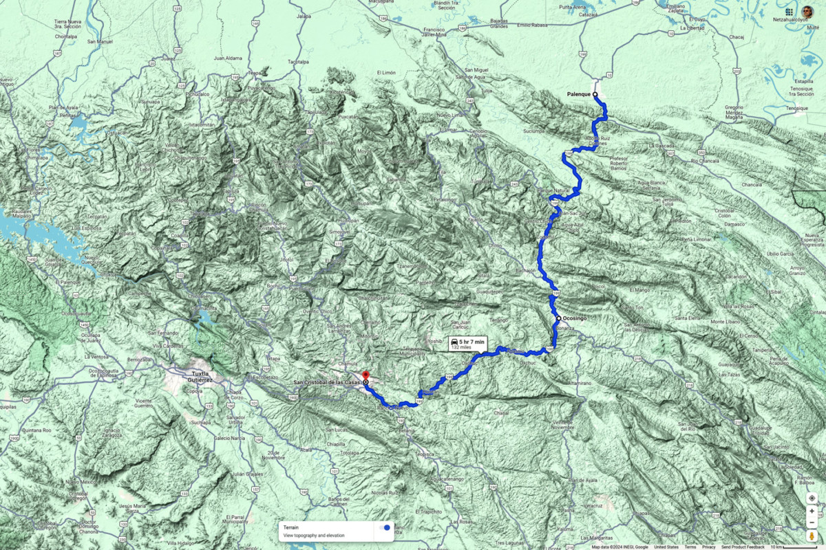
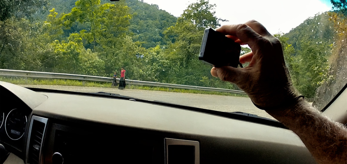
This young lady didnt like us much, either, but her approach was far more pragmatic. She had a thin rope stretched across the road, with a red flag attached to insure that wed see it. We stopped, and she demanded 20 Pesos to let us pass. I offered 10 Pesos, which she grumpily accepted.
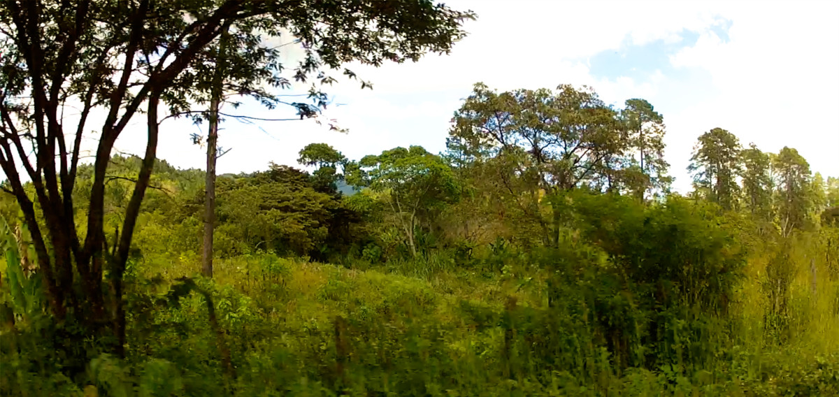
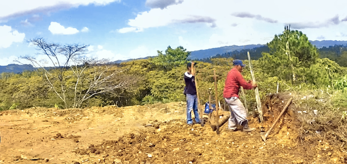
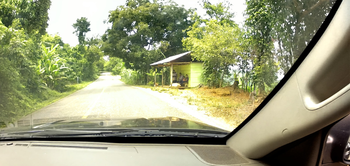
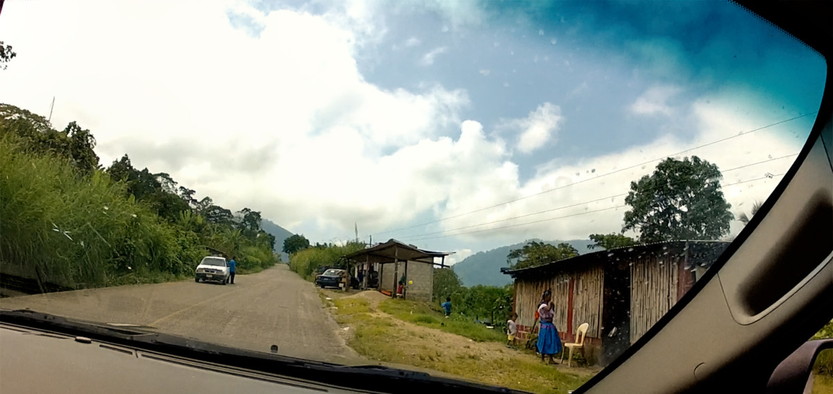
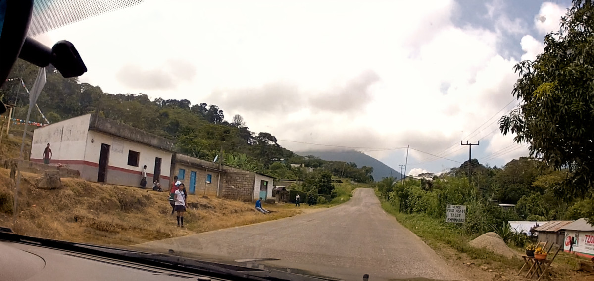
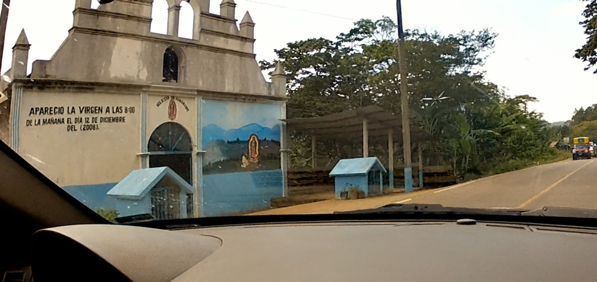
After Ocosingo, the terrain was a bit less rumpled, leaving more space for people. We passed through a series of small towns, including one that had a shrine emblazoned with the following: APARECIO LA VIRGEN A LAS 8:00 DE LA MANANA EL DIA 12 DE DICIEMBRE DEL (2008). Meaning that the Virgin Mary appeared in this very spot at 8:00 in the morning on December 12, 2008. Thats pretty darned specific!
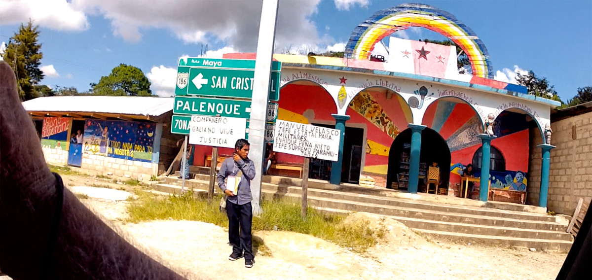
A grocery store/cafe, painted in rainbow colors and festooned with slogans inspired by the Zapatistas.
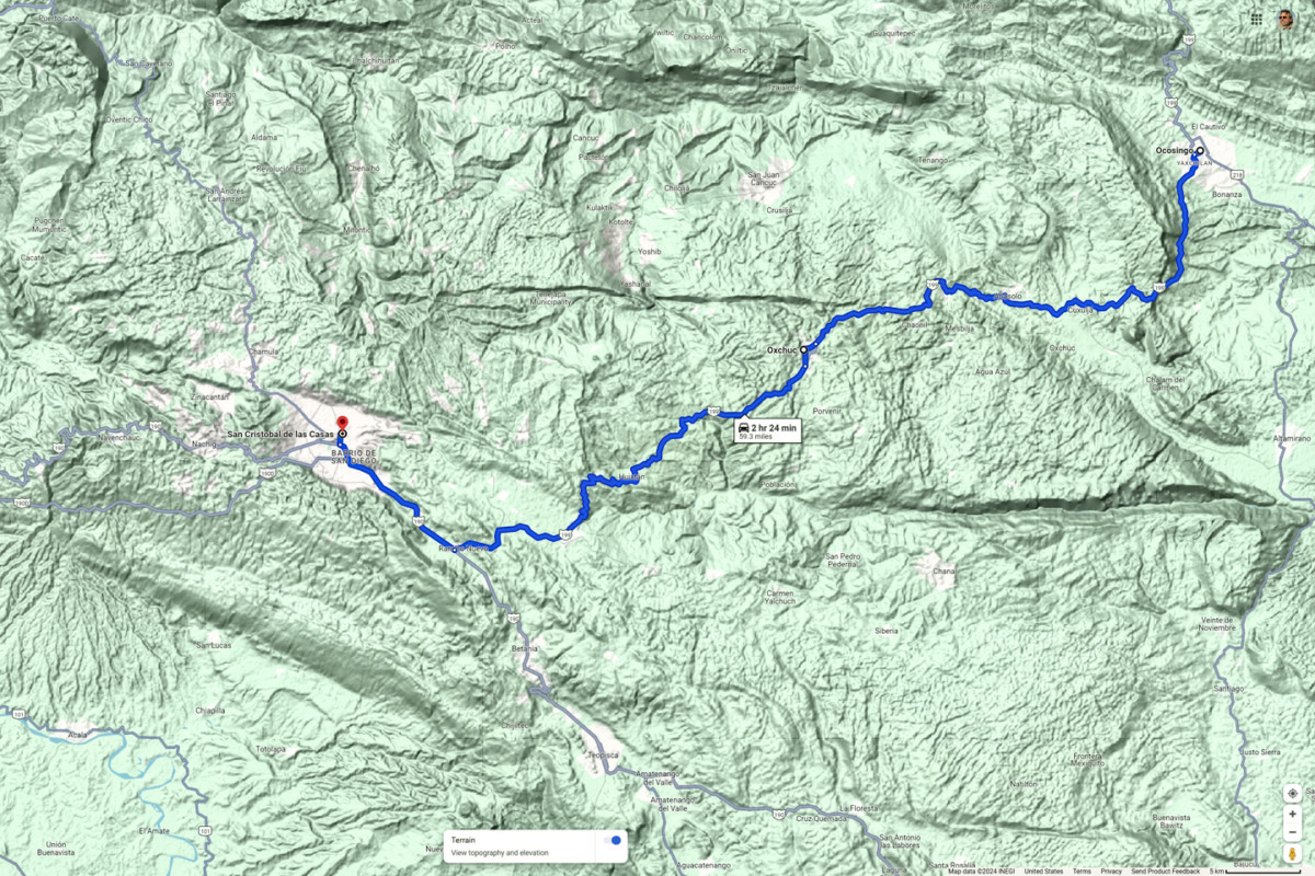
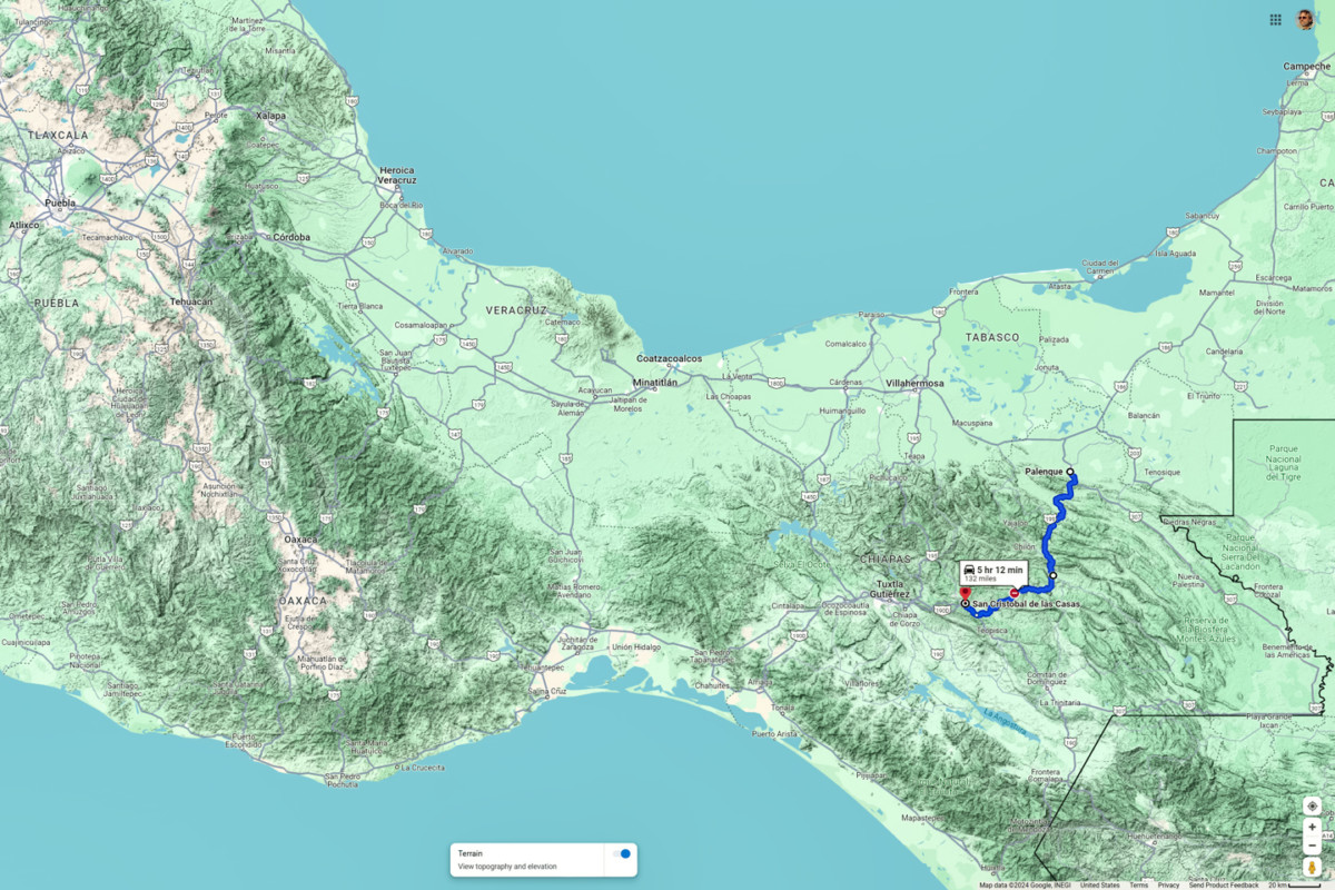
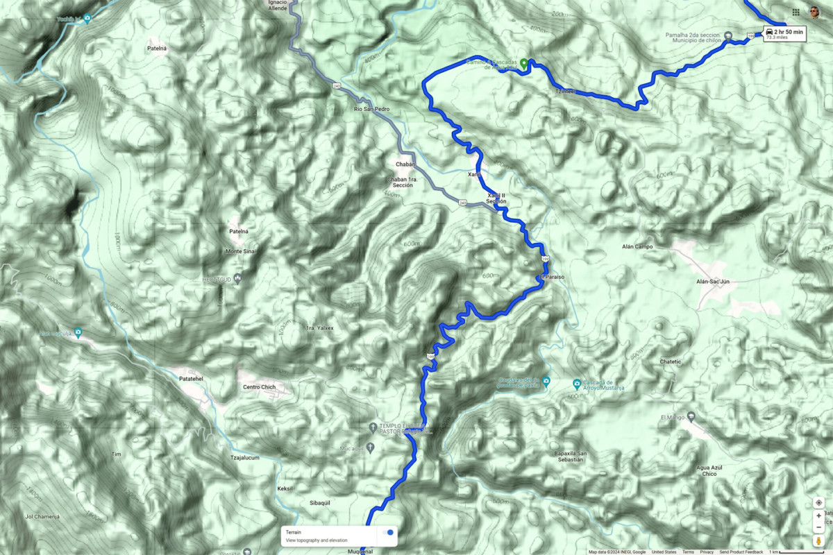
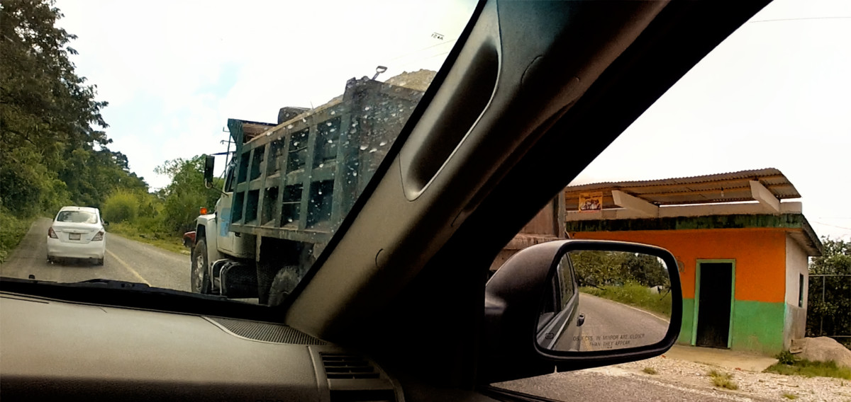
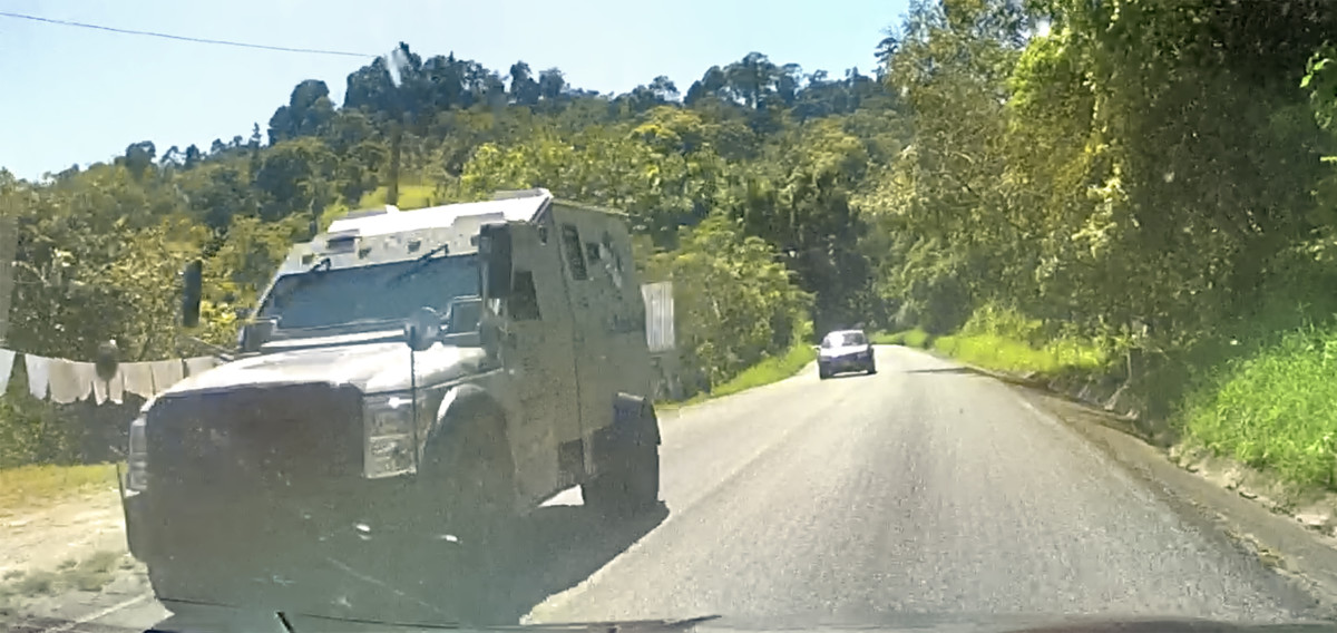
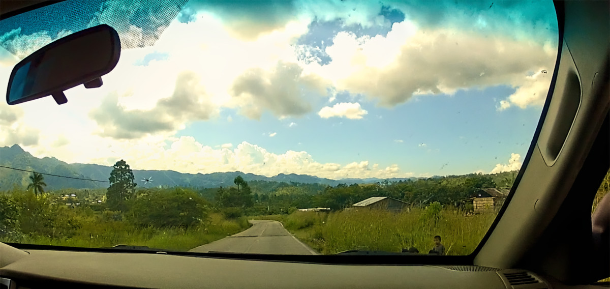
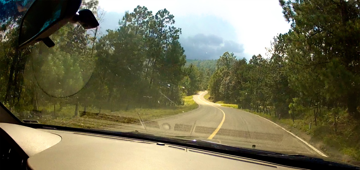
MX 199 from Ocosingo to San Cristobal de las Casas
The Zapatista Army of National Liberation (ELZN), has been in business for three decades, since 1994, and these towns and villages in the Chiapas Highlands are the heartland of that movement. At one time, the Zapatistas took over the local government in Ocosingo, Oxchuc, and even in San Cristobal de las Casas. They are nowhere nearly as active currently, but their influence, and their core philosophy of Here, the People Rule, and the Government Obeys, still predominates in this fiercely independent region.
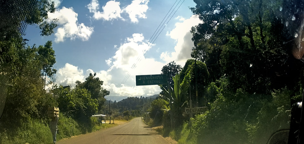
OXCHUC
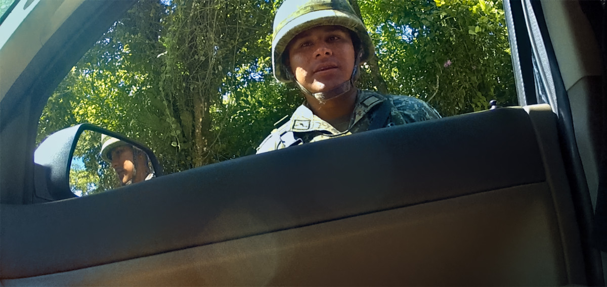
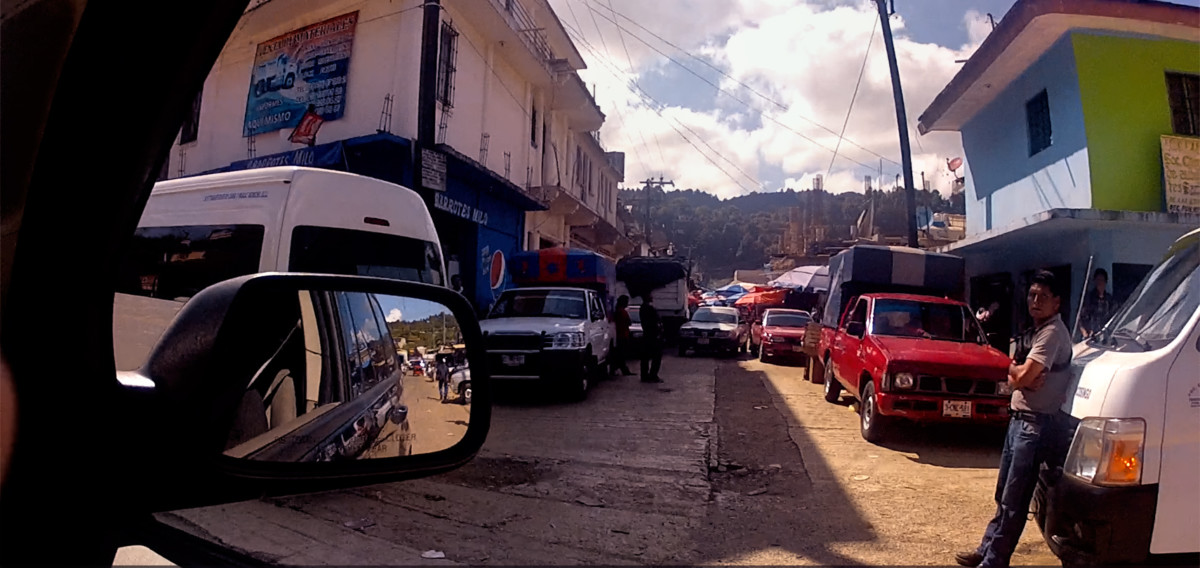
Oxchuc was another good-sized town, about halfway between Ocosingo and San Cristobal. That place was Zapatista Central, and the scene of many protests and other incidents, including the previously mentioned attack on the Russian tourist who refused to pay the toll at their roadblock. When Mike and I passed through Oxchuc, there werent any roadblocks (not even the little ones, with ropes and strings), so we didnt have any negative encounters.
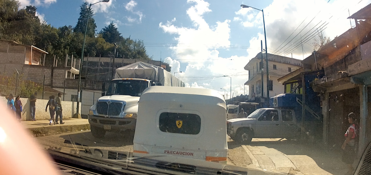
Three wheeled truck with a Ferrari decal and a bullet hole in the back window
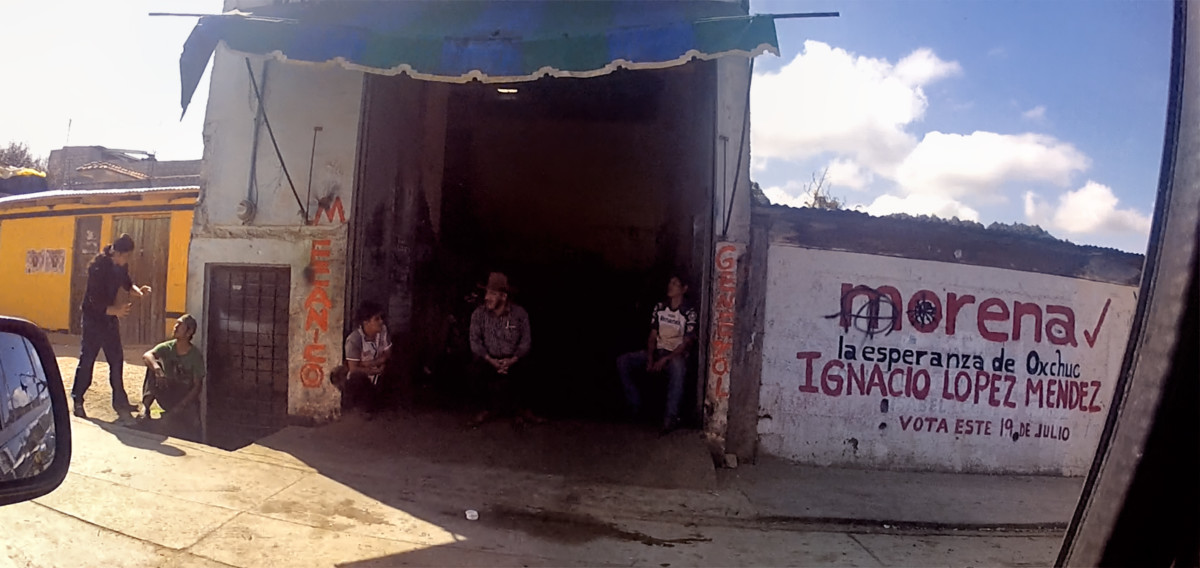
Surly dude in Oxchuc, crossing his arms to hide his holster
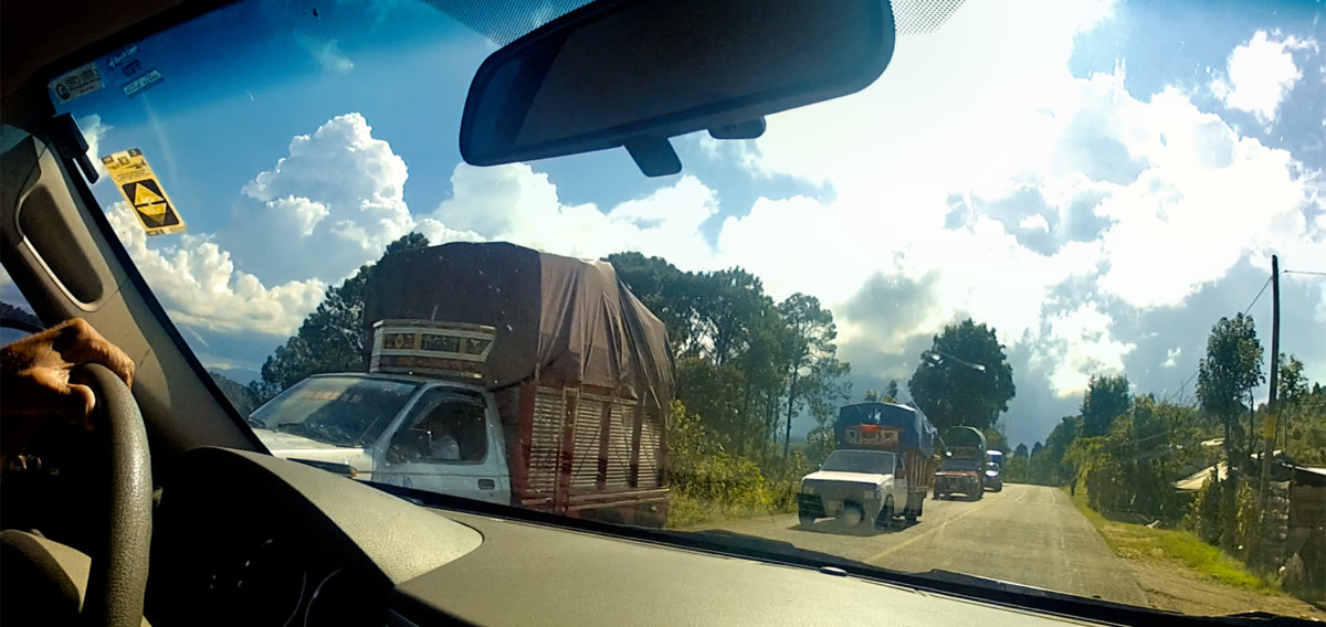
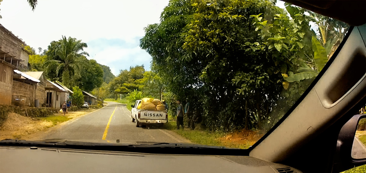
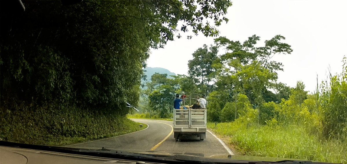
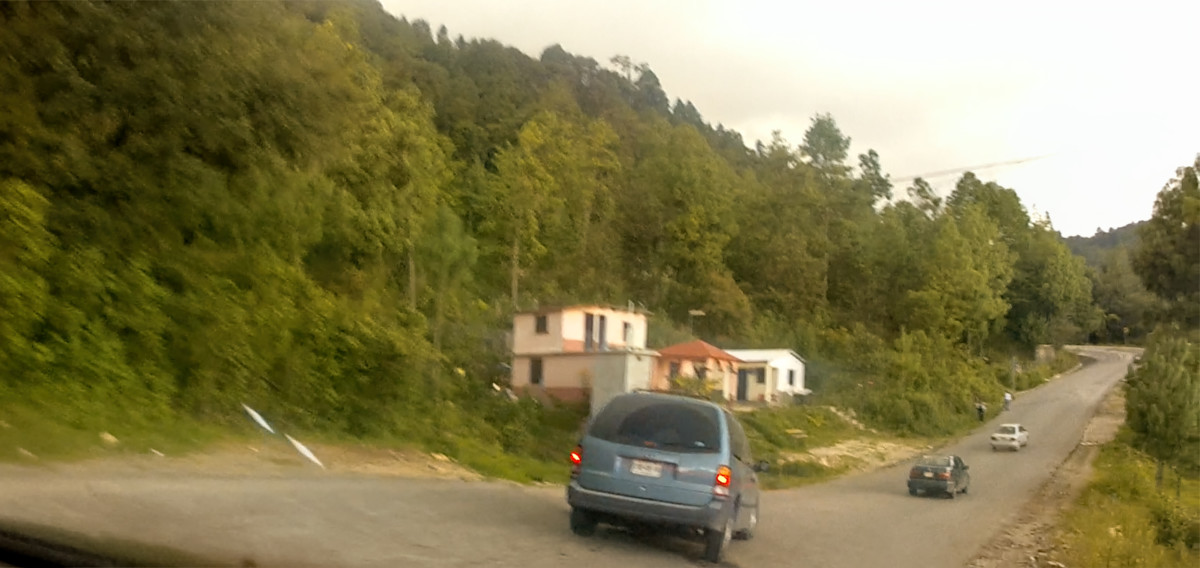
A pack of camionetas (small trucks) leaving Oxchuc
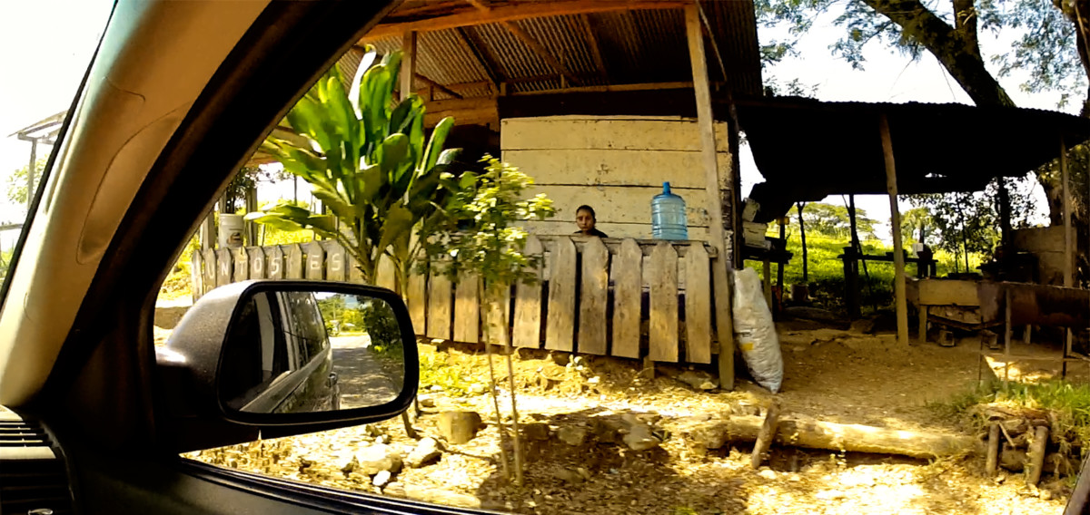
We did get a few surly glares. There was one dude in particular who appeared to be wearing a shoulder holster, but when he saw us driving by, he quickly crossed his arms to conceal it. Security guard? No uniform, so not likely. Mike and I speculated that he might be a cartel enforcer, supervising the loading or unloading of some sort of contraband. The downtown area in general was surprisingly congested; down every side street there were camionetas (little trucks) loading and unloading. Some carried cargo, others carried passengers, protected from the wind and rain by colorful canvas shells that formed a roof over the truck bed, and extended forward to provide additional protected cargo space above the cab. These trucks were clearly the vehicle of choice in the Chiapas Highlands, and we saw them everywhere along the road, sometimes traveling in packs.
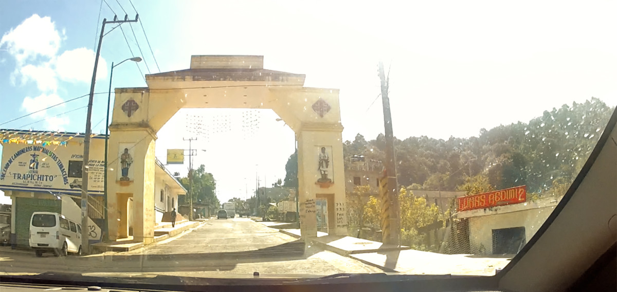
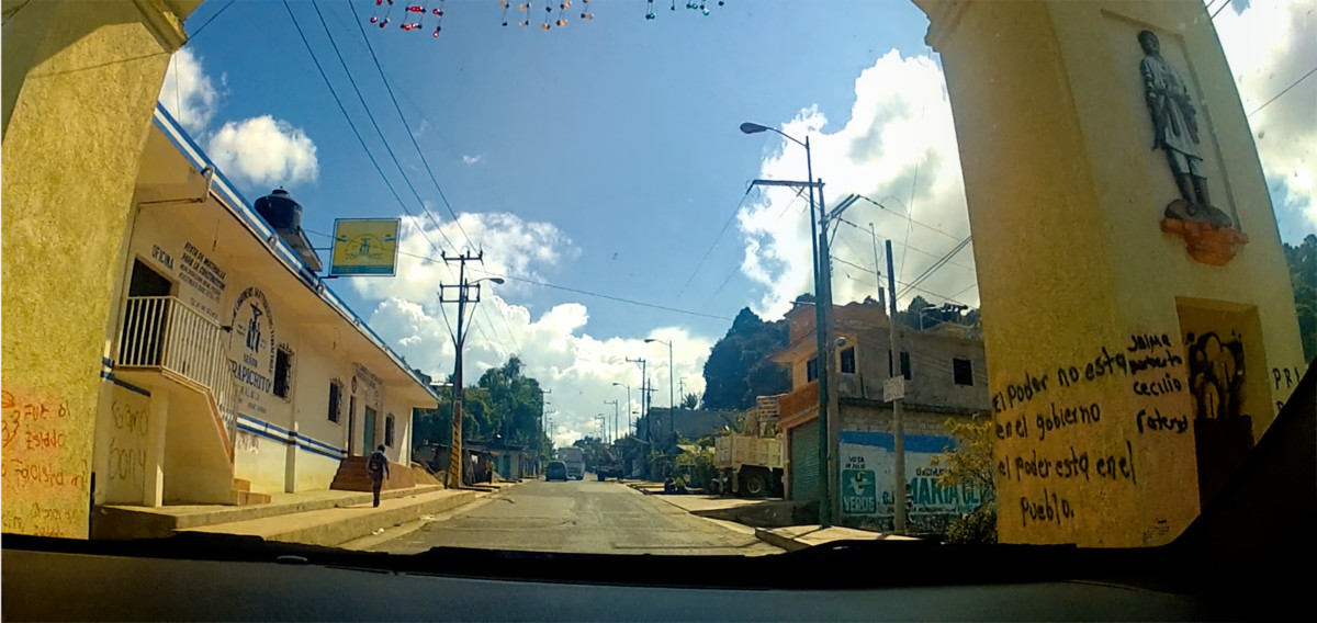
Arco de Bienvenida, the Arch of Welcome, Oxchuc, Chiapas
On the way out of town, we passed under the Arco de Bienvenida, the Welcome Arch, Oxchucs most recognizable landmark, and a convenient chokepoint for blocking traffic, any time the need arises (or whenever the mood strikes). There is spray-painted graffiti on the wall of the arch trumpeting the Zapatista credo: El poder no esta en el gobierno, el poder esta en el pueblo. Translation: The power is not in the government, the power is in the people.
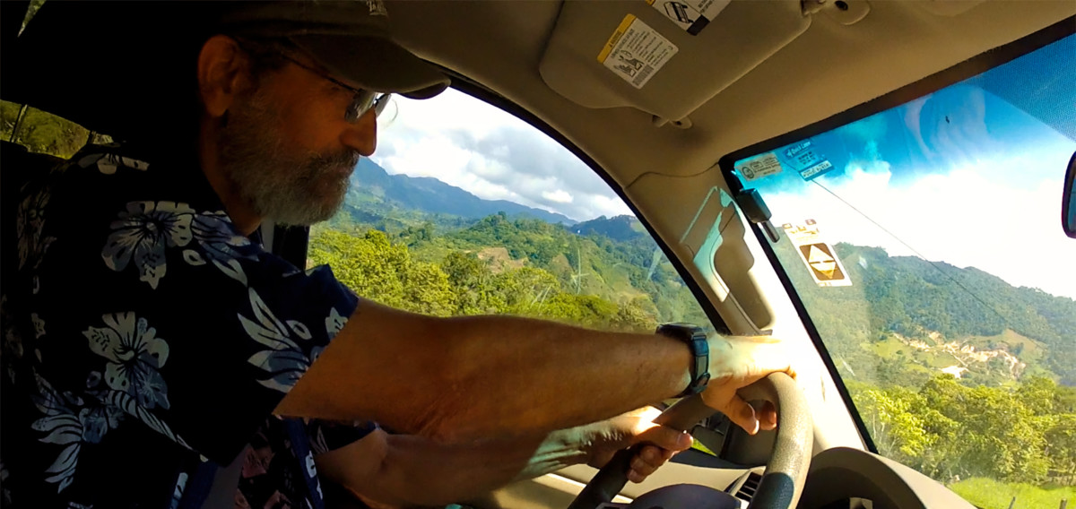
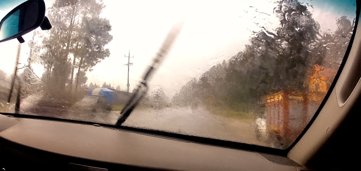
Up to this point in the drive we had good weather, but these were mountains, after all, and in the mountains, the weather is always subject to change. Clouds that had been building along the western horizon moved overhead and turned dark. We were finally getting close to our destination when the first fat drops hit our windshield.
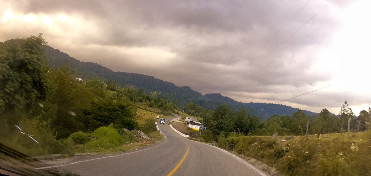

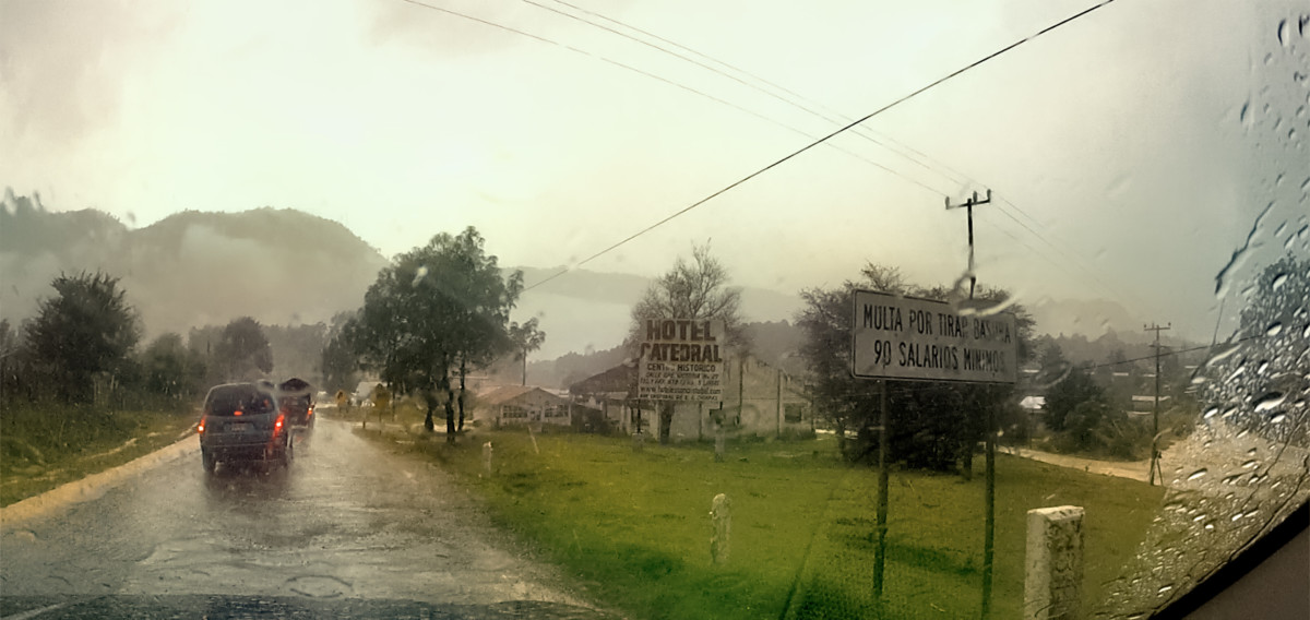
San Cristobal de las Casas is a mountain town, sitting at an altitude of more than 7200 feet. Even at tropical latitudes, that much elevation equates to cool weather in October, which was also the tail end of an active rainy season. Our first view of the most magical of the Pueblos Magicos, (as described by former Mexican President Felipe Calderon) came through a veil of frigid drizzle, to the beat of rapidly flapping windshield wipers.
Driving in to San Cristobal de las Casas through cold, drizzling rain
Next up: San Cristobal de las Casas: The most magical of Mexicos Magical Cities


 Reply With Quote