Page 6 of 26 FirstFirst 1234567891011121314151617181920212223242526 LastLast
Results 51 to 60 of 256
  1. Default

    Quote Originally Posted by Rick Quinn View Post
    I love that hoodoo--it's like a three-dimensional valentine heart! But I have no idea where it is. Somewhere in southern Utah, but I can't even say that for sure. How about that other clue?

    Rick

    It is in southern Utah. It is remote and I forgot to mention that WAS down a 4x4 trail but maybe you already figured that from the jeep in the creek. It is in a National Park so that narrows it to 5 guesses for the park! I knew of this place for years before we ever went from pictures I had seen....


    ....so here is your SILVER PLATTER!

    Here's a picture of the the arch we went to see.


    Can you name the Arch and the National Park it's in?

    Utahtea

  2. #52
    Join Date
    Jul 2007
    Location
    South of England.
    Posts
    12,165

    Default Amazing !

    Needles district of Canyonlands NP ? After guessing this may be the area I followed up with a little research and discovered Angel arch which now receives much fewer visitors due to the access along Salt creek road being closed to motorized vehicles. These days it's over a 17 mile round trip hike from Peekaboo springs. What an amazing adventure you must of had getting out there in the Jeep !!

    Dave.

  3. #53
    Join Date
    Mar 2016
    Location
    Phoenix, Arizona
    Posts
    807

    Default Ready for another round?

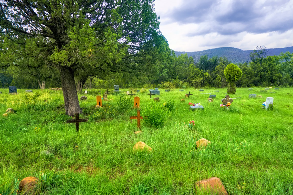
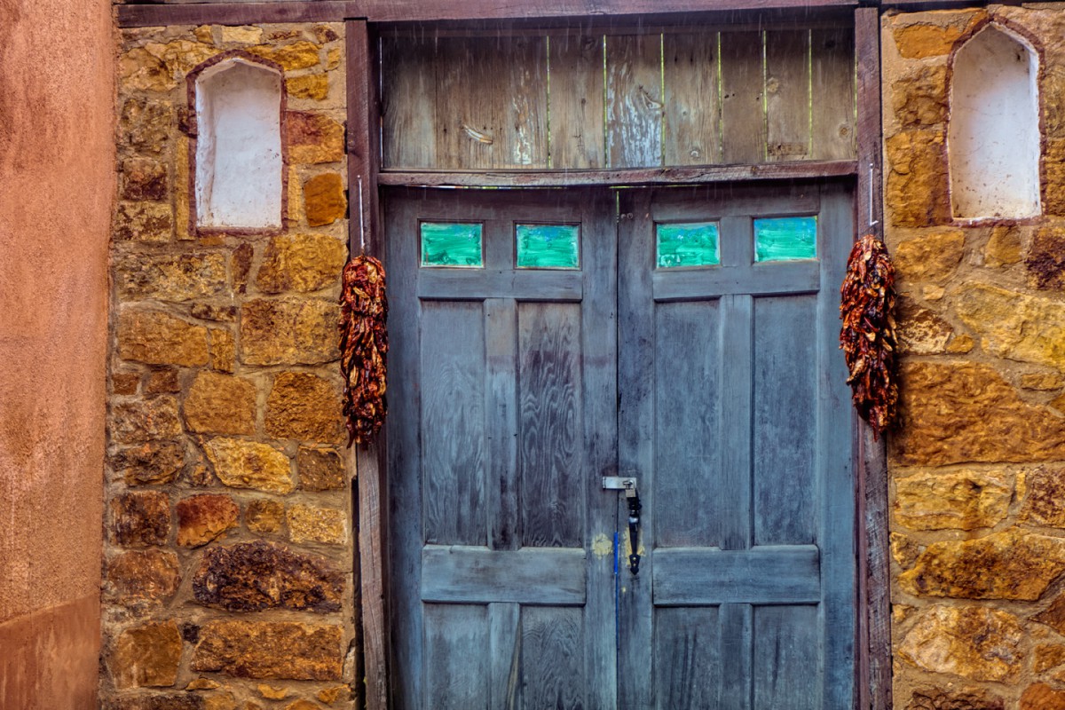
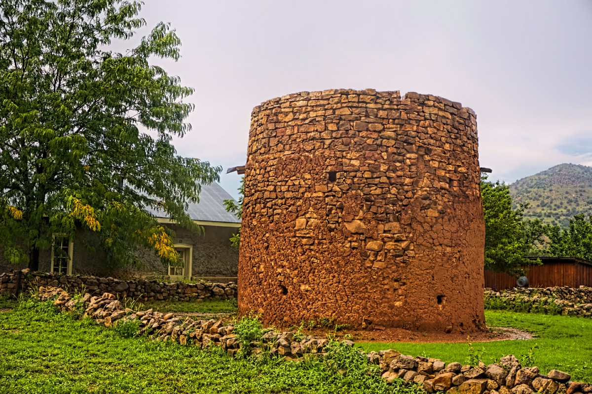
    There is a road (a named scenic byway), a town, and an event associated with these three photos. Can anyone name all three? For bonus points: what the heck is that thing in the front yard of that house (in the third picture), and what was it used for?


    Rick

  4. Default

    Quote Originally Posted by Southwest Dave View Post
    Needles district of Canyonlands NP ? After guessing this may be the area I followed up with a little research and discovered Angel arch which now receives much fewer visitors due to the access along Salt creek road being closed to motorized vehicles. These days it's over a 17 mile round trip hike from Peekaboo springs. What an amazing adventure you must of had getting out there in the Jeep !!

    Dave.
    Yes, Dave you are a winner! It's Angel Arch and Molar Rock. We were camping in the Squaw Flat Campground in the Needles section of Canyonlands National Park in site 11A but we noticed last year when we drove though the campground the sites numbers had not only been changed, so had the campsites.

    This was the first trip we took without our two sons. We had been camping with one or both since 1977 and we thought it would not be as much fun without them....LOL! We weren't gone 10 minutes from home and decided....this is NICE! We can eat when we want and what we want. We don't have to make plans around them. Back in the day you didn't need camping reservations and you could just wing it and that's what we did.

    As I mentioned in my first post this was back in 1995 and that year was the first year they were limiting the number of vehicles to 10 per day with a permit to drive in Salt Creek to get to the arch. The day before we went to the Ranger station to see if we could get a permit and when we could, we then went to the nearby Needles Outpost Campground, who back in the day, rented jeeps though Farabee Jeep Rentals (who we had used in Moab before). They had a couple of Jeeps to rent so we were set!

    We set out early and like you said it was an amazing adventure that we were so glad we did that year. The next year they closed it to motorized vehicles and there's no way I could have hiked to the arch.

    Utahtea

  5. #55
    Join Date
    Mar 2016
    Location
    Phoenix, Arizona
    Posts
    807

    Default

    Quote Originally Posted by Utahtea View Post
    it was an amazing adventure that we were so glad we did that year. The next year they closed it to motorized vehicles and there's no way I could have hiked to the arch.

    Utahtea
    Utahtea:

    If you had kids in 1977, we're of similar vintage, so I hope you don't mind if I include you in a very general observation. One of the most valuable advantages of having come of age when we did is just as you say: all the many things we got to do that aren't even possible anymore. Yours is one small example. I could make a list of my own, just off the top of my head, that's longer than my leg, and I'm sure that's true for most of us seniors that have led active lives. Are we supposed to be wistful about that, or smug? Me? Mostly I'm just grateful.

    It's a rapidly changing world out there, now, more than ever. When this crisis is over, when we have a good vaccine, and when it's safe enough to travel again? We'll all need to get back out there on the road! We'll need to go the places we've been wanting to go, see the things we've been wanting to see,and we need to do all that just as soon as we can. Before it's "not even possible anymore." Know what I mean?

    Carpe Via! ;-)

    Rick

  6. Default

    Quote Originally Posted by Rick Quinn View Post
    There is a road (a named scenic byway), a town, and an event associated with these three photos. Can anyone name all three? For bonus points: what the heck is that thing in the front yard of that house (in the third picture), and what was it used for?


    Rick
    I figured with the peppers next to the door it had to be New Mexico. I cheated and went looking and was successful. Lo and behold we have spent time in the town way back in 1988 but I'll give others a chance to figure it out before I spill the beans. I can give clues tho! ;)

    Utahtea

  7. #57
    Join Date
    Jul 2007
    Location
    South of England.
    Posts
    12,165

    Default Fond memories.

    I actually 'rode' into town last year. A little bit quieter now then it was back in the days of Billy the Kid and Pat Garrett !! I loved walking around and reading the historical information boards, including the one that described "that thing in the front yard". Known as the Torrean it was used to protect settlers from Apache raids. The lovely historic town of Lincoln is on the aptly named 'Billy the Kid trail' section of US380 and has an 'Old days festival' once a year to include an enactment of a Billy the Kid escape.

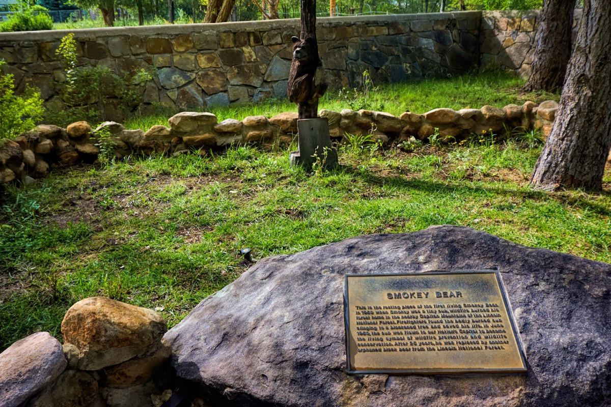
    A little extra I learnt was the town was originally named La Placita del Rio Bonito (The Place by the Pretty River) by the Spanish settlers who first arrived. A great stretch of highway that runs by Fort Stanton and the Snowy river cave area to Capitan where we visited the resting place of 'Smokey bear'.

    Dave.

    (Well done Utahtea, it's your win ! )

  8. Default

    Quote Originally Posted by Southwest Dave View Post
    I actually 'rode' into town last year. A little bit quieter now then it was back in the days of Billy the Kid and Pat Garrett !! I loved walking around and reading the historical information boards, including the one that described "that thing in the front yard". Known as the Torrean it was used to protect settlers from Apache raids. The lovely historic town of Lincoln is on the aptly named 'Billy the Kid trail' section of US380 and has an 'Old days festival' once a year to include an enactment of a Billy the Kid escape.

    A little extra I learnt was the town was originally named La Placita del Rio Bonito (The Place by the Pretty River) by the Spanish settlers who first arrived. A great stretch of highway that runs by Fort Stanton and the Snowy river cave area to Capitan where we visited the resting place of 'Smokey bear'.

    Dave.

    (Well done Utahtea, it's your win ! )
    Smokey the Bear resting place was big on our boys must see list when we were there! My DH liked the Billy the Kid history. I’d love to go back and spend more time there.

    Utahtea

  9. Default

    This is so much fun I'm going to do another. This is a road that also has a scenic byway name, there are pictures from two of the towns and a few signs. One town is a little off the main highway just a little. Name the towns & scenic byway.


    And how could you ask for anything better than road signs!


    More clues given on request.

    Utahtea

  10. #60
    Join Date
    Mar 2016
    Location
    Phoenix, Arizona
    Posts
    807

    Default

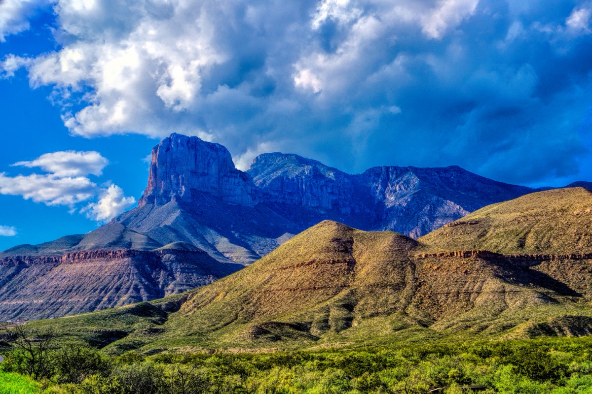
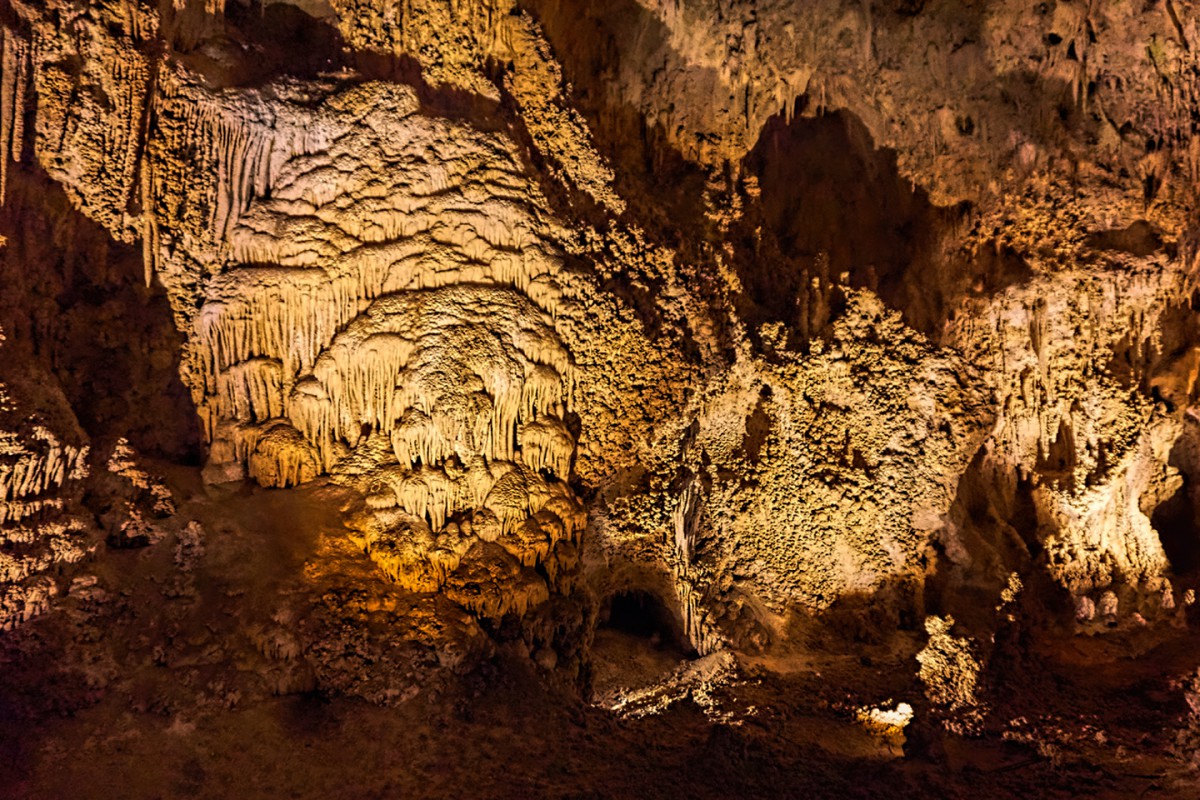
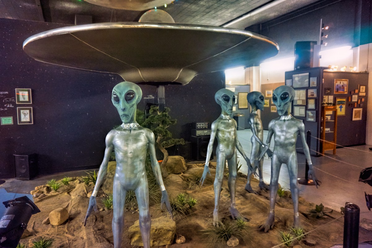
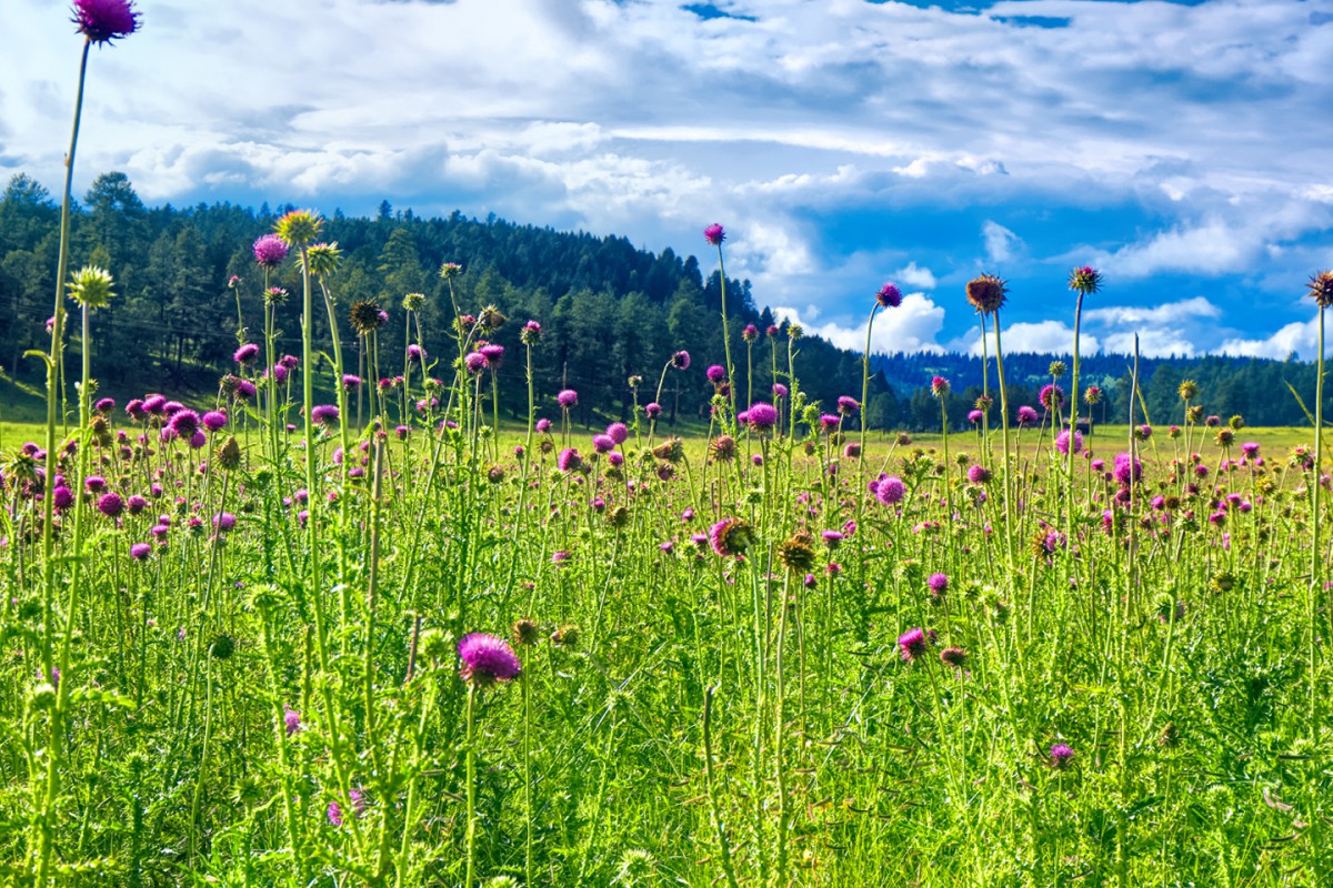
    You've gotta love New Mexico for the constant interplay of history and amazing scenery, some of it packed into an amazingly compact area. As an example: what do you suppose the following disparate attractions have in common?

    Guadalupe Mountain National Park (which is actually in Texas, but humor me):


    Carlsbad Caverns National Park


    Roswell UFO Museum


    Lincoln, and Billy the Kid Country


    Smokey Bear's Final Resting Place


    The Sierra Blanca Mountains


    and, last but not least, White Sands National Monument?


    I'll answer that one myself: String all those stops together, and you get Scenic Side Trip #1! Which is 432 miles of seriously fun stuff!

    Now I'll take a stab at Utahtea's latest puzzler:

    Any chance the Scenic Byway is the Turquoise Trail? And, if so, is one of the towns Madrid? If I'm wrong, give us another clue!

    Rick

Similar Threads

  1. Where Am I -- Volume III
    By Rick Quinn in forum RoadTrip Field Reports
    Replies: 83
    Last Post: 07-16-2020, 09:22 PM
  2. Where Am I -- Volume II
    By Rick Quinn in forum RoadTrip Field Reports
    Replies: 118
    Last Post: 06-23-2020, 05:07 PM
  3. Toronto to NYC - Where to stop / Where to stay ?
    By Wilder in forum Fall & Winter RoadTrips
    Replies: 1
    Last Post: 10-16-2007, 06:19 PM
  4. Where oh where to cleanse myself?
    By imported_Chuck in forum Gear-Up!
    Replies: 5
    Last Post: 10-29-2002, 05:09 AM

Posting Permissions

  • You may not post new threads
  • You may not post replies
  • You may not post attachments
  • You may not edit your posts
  •