Page 4 of 26 FirstFirst 1234567891011121314151617181920212223242526 LastLast
Results 31 to 40 of 256
  1. #31
    Join Date
    Mar 2016
    Location
    Phoenix, Arizona
    Posts
    807

    Default

    I could be wrong, but this looks like Virginia. Could it be the Potomac? I think we might need another clue!

    Rick

  2. #32
    Join Date
    May 2011
    Location
    Central Missouri
    Posts
    5,942

    Default

    Clue: Midwest. My favorite part of the Midwest.

    Definitely not the Potomac. That's a lot wider where I've seen/crossed it.

    Mark, close, and in the Midwest. But not close enough.


    Donna

  3. #33

    Default

    Given all the boathouses in the back, some part of Lake of the Ozarks?

  4. #34
    Join Date
    May 2011
    Location
    Central Missouri
    Posts
    5,942

    Default

    Yes, NowthatIamretired, you are CORRECT! It's actually the Osage River, just downstream from the Lake. I was up at Ha Ha Tonka State Park when I took that photo, on one of the trails along the bluffs.


    Donna

  5. #35
    Join Date
    Mar 2016
    Location
    Phoenix, Arizona
    Posts
    807

    Default Not all Rivers are created equal

    As long as we're on the subject of rivers, who can identify this one? (The two pictures are of the same river, taken in different places.)


    Rick

  6. #36
    Join Date
    May 2011
    Location
    Central Missouri
    Posts
    5,942

    Default

    I'm gonna throw out a guess here, Rick, and say Gila River when it actually has water in it?

  7. #37
    Join Date
    Mar 2016
    Location
    Phoenix, Arizona
    Posts
    807

    Default

    Good guess--but no, it's not the Gila. It's bigger than the Gila....

  8. #38

    Default

    Quote Originally Posted by DonnaR57 View Post
    Yes, NowthatIamretired, you are CORRECT! It's actually the Osage River, just downstream from the Lake. I was up at Ha Ha Tonka State Park when I took that photo, on one of the trails along the bluffs.
    Donna
    Lucky on my part. I’ve only been there once but remembered boat houses similar to what we have on our lake and couldn’t think of any other place big enough in the Midwest.

  9. #39
    Join Date
    May 2011
    Location
    Central Missouri
    Posts
    5,942

    Default

    There are quite a number of large lakes in Missouri - Truman, Table Rock, Mark Twain and Lake of the Ozarks being the top 4 for size.

    OK, Rick.....my other guess was the Colorado River.


    Donna

  10. Default

    Quote Originally Posted by Rick Quinn View Post
    Utahtea, that's exactly what I thought, and we were both wrong! This particular symbol was etched into the rock below an overhang in Canyon del Muerto, the northern section of Canyon de Chelly National Monument, which is one of my favorite places in all the world.

    Here's another petroglyph from the same site, more recent, and much easier to interpret:


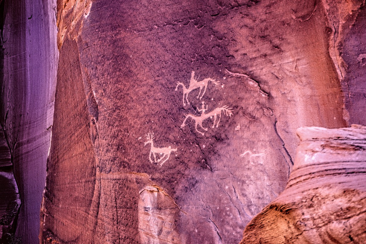
    Hunters after a deer, and because they are on horseback, it had to have been done after the arrival of the Spaniards, which makes it Navajo, as opposed to Hopi or Anasazi. ....


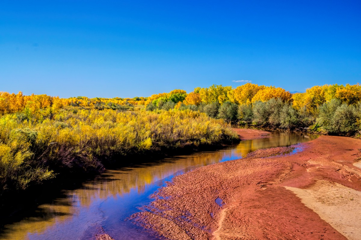
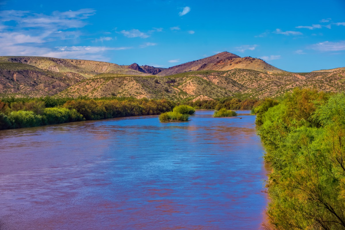
    ....In January of 2014, just two months after we were there, the Navajo Tribe changed the rules, and permanently banned privately owned vehicles from touring inside Canyon de Chelly (on the canyon floor). You can still go, but you have to travel, not only with a guide, but in a vehicle provided by a Navajo owned tour company. There were a number of good reasons for making that change, but I'm most certainly glad I got to do what I did while it was still possible! ....


    "Looks kind of like a fish bone," I said, pointing to the symbol etched in the sandstone of the canyon wall.

    "No," she replied. "This one here is like the world. Way down there before humans were ever made, before life was ever made. This is the Black World," she said, pointing to the lowest horizontal line. "Then, the Blue, the Yellow, and the White World. And then the one on top right here is the world that we live in; and so that’s the 5th world. This is supposed to be a ladder going up from one place to the next. So this is our world, where we live, and when we die we go up into the next world, which is the spirit world. This is the 5th world, and they call it the Glittering World, because we have a lot of different colors here. They call it the Glittering World because everything glitters like when it rains, the water gives off a sparkle and when it snows, it does that too, and then during the summer you’ll see the leaves give off a shine. Even for us humans, we give off a shine through our pores; even our eyes, they glisten."
    ....

    ....Whew! So much for the fish bone theory! And it's a very good illustration of just how much we don't know about the Ancestral Pueblo people who carved those symbols in the first place. The Navajo didn't originate in the region where they live today. By the time they arrived in the Southwest, the Anasazi, as we call them, were long gone from Canyon de Chelly, so there was never any overlap between those people and the Navajo, never a direct connection, but even so, I have no reason to doubt Sylvia's interpretation of the signs on the walls of her canyon. When she was a toddler, she lived here:

    Rick

    (P.S.: your turn!)
    WOW....I love hearing about petroglyphs and pictographs and the stories behind them! We've been to Canyon de Chelly three times now and I really love that place too. The first was in 1975 before we had children and we hiked down to White House Ruin because it was the only way we could get into the canyon without a guide and we also made it to the Spider Rock overlook. We were in transit from one location to another so didn't have a lot of time here. The second time in 1982 was with young children and we just viewed from the canyon rim but we did stay in the Cottonwood Campground for free!

    The third time in 2001 we were in our 24 foot motorhome so we couldn't drive into the canyon even with a guide so we did one of what is affectionally known as the "Shake and Bake" tour and because of medical reasons we could only do the half day tour that went half way into each canyon. I'm very sad to hear you can no longer hire a guide and use your own vehicle because we now have a Jeep we tow. Which brings back a story about that tour. We were all sitting in our seats waiting for the tour to begin. One person asked how much the rooms at the lodge in the park cost. One person said $116 and that person then asked how much the camping was. A few of us volunteered the information that it was free! I’ve since read that the campground is no longer free.

    I recognized the Spaniards petroglyphs and here is my photo of the same ones with a really old digital camera!


    Utahtea…Now that I have learned how to post larger pictures I accept the challenge! ;)

Similar Threads

  1. Where Am I -- Volume III
    By Rick Quinn in forum RoadTrip Field Reports
    Replies: 83
    Last Post: 07-16-2020, 09:22 PM
  2. Where Am I -- Volume II
    By Rick Quinn in forum RoadTrip Field Reports
    Replies: 118
    Last Post: 06-23-2020, 05:07 PM
  3. Toronto to NYC - Where to stop / Where to stay ?
    By Wilder in forum Fall & Winter RoadTrips
    Replies: 1
    Last Post: 10-16-2007, 06:19 PM
  4. Where oh where to cleanse myself?
    By imported_Chuck in forum Gear-Up!
    Replies: 5
    Last Post: 10-29-2002, 05:09 AM

Posting Permissions

  • You may not post new threads
  • You may not post replies
  • You may not post attachments
  • You may not edit your posts
  •