Page 7 of 8 FirstFirst 12345678 LastLast
Results 61 to 70 of 79
  1. #61
    Join Date
    Mar 2016
    Location
    Phoenix, Arizona
    Posts
    808

    Default Buffalo Sunrise

    Day 55: Sunday, August 16th

    I slept very poorly, so I was wide awake long before dawn; the whole notion of climbing out of my warm sleeping bag and getting dressed at that ungodly hour was another matter altogether. Temperatures were close to freezing, and I could scarcely feel my fingers when buttoning my shirt. It took a fair bit of persuasion to convince Carl that it was worth losing sleep and braving the cold just to take sunrise pictures of a couple of buffalo. “If those animals have any sense at all,” he muttered, “they won’t even be out there until after the sun comes up.”

    “You’re missing the point,” I countered. “Think about how glorious it’s going to be, when the first rays of sunlight hit the tops of those mountains. Maybe there’ll be some buffalo in that field, and maybe there won’t. Either way, it’s worth getting out there, just to drink in the spectacle.”

    There was a bit of grumbling, but we managed to get up and get going without any actual drama. We weren’t planning to break down our camp until later in the day, so all we really had to do was dress warmly, get in the Jeep, and drive. The field where I’d seen the bison was adjacent to Mormon Row, less than five miles from the campground, so we were there in a matter of minutes. It was still full dark when I turned down a side road, really more of a rough dirt track that took us deeper into the field. The only light came from my headlight beams, and the scene they were illuminating was not the picture I expected to see! There were obstacles up ahead, shapes moving through the grass and blocking the road. I stopped, cut the engine, and cut the lights. Those buffalo I’d seen the day before? They were out there, alright, and they were NOT alone!


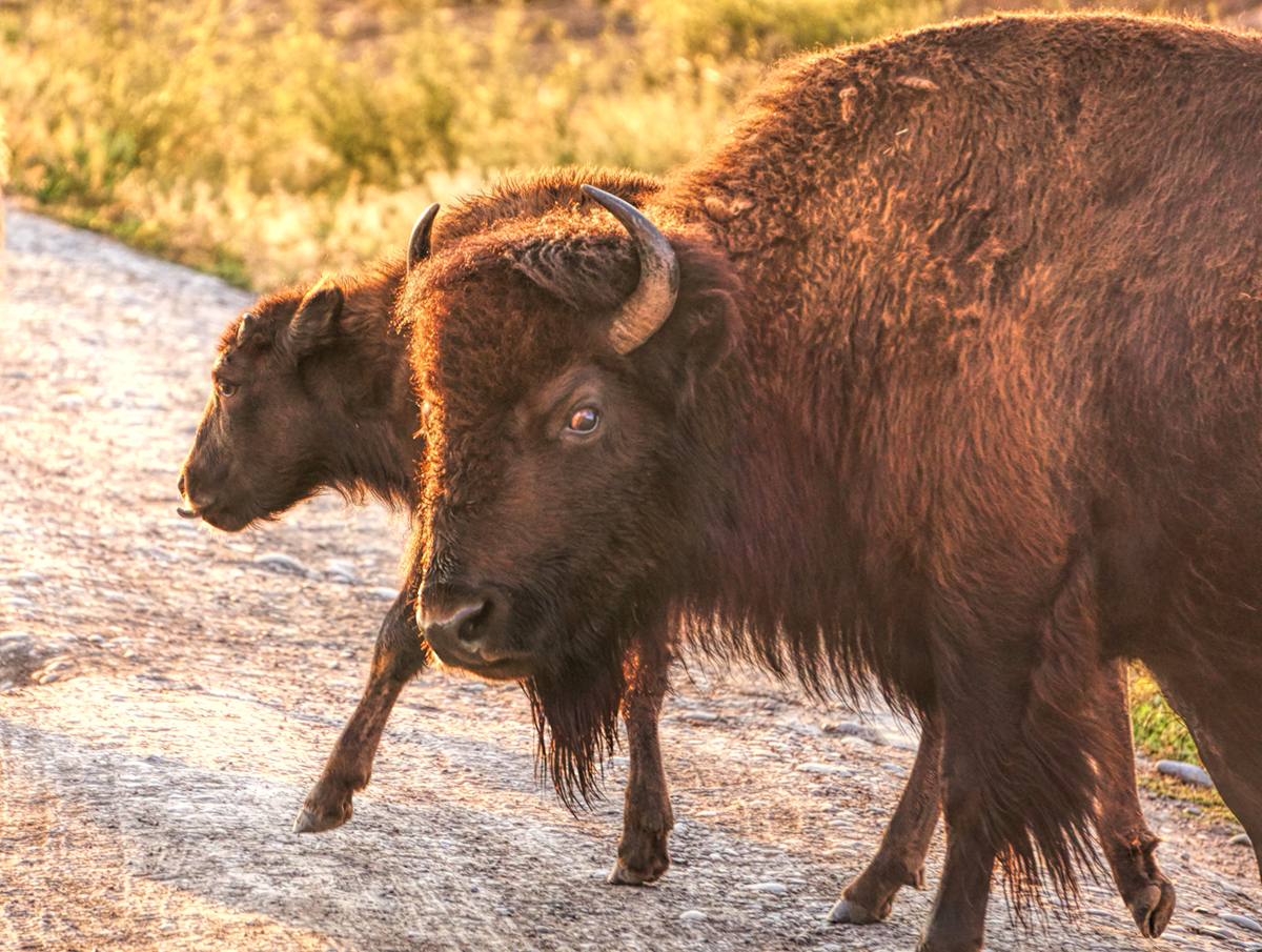
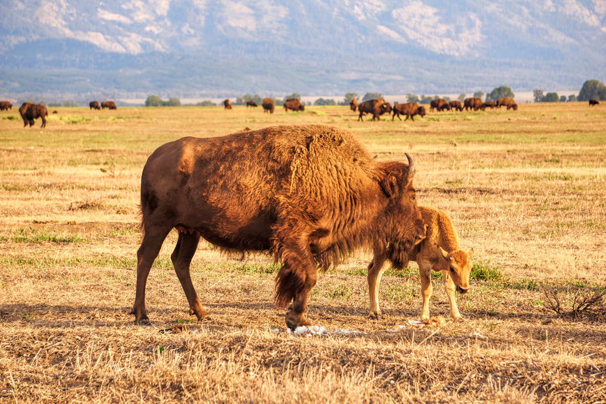
    For the first 20 minutes or so we just sat there, doors closed, windows down, hearing the sounds of large animals huffing and snorting mere feet away from us, and we could smell them, despite the cold; a gamey, musky aroma. Once the sun peeked above the horizon, we were finally able to see, and out came the cameras! There was a big momma cow directly in front of us, and when I pointed that big telephoto in the direction of her calf, she gave me the stink-eye.


    This big Momma cow was protective of her little one. She let us know, with this single angry glance, that we were too darned close!

    We slowly backed up, ten or twenty yards, and stopped again, I spotted the old bull I’d seen the day before--either him, or one of his brothers:


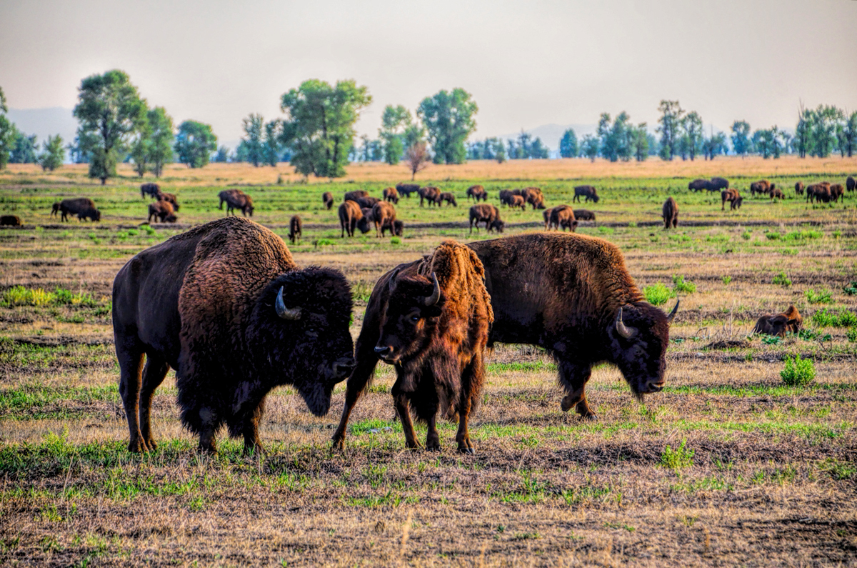
    Wait a minute. HOW many buffalo are out there in that field?

    It quickly became apparent that there were a LOT of buffalo in that field!


    We were literally surrounded by buffalo, more than I’d ever seen in one place

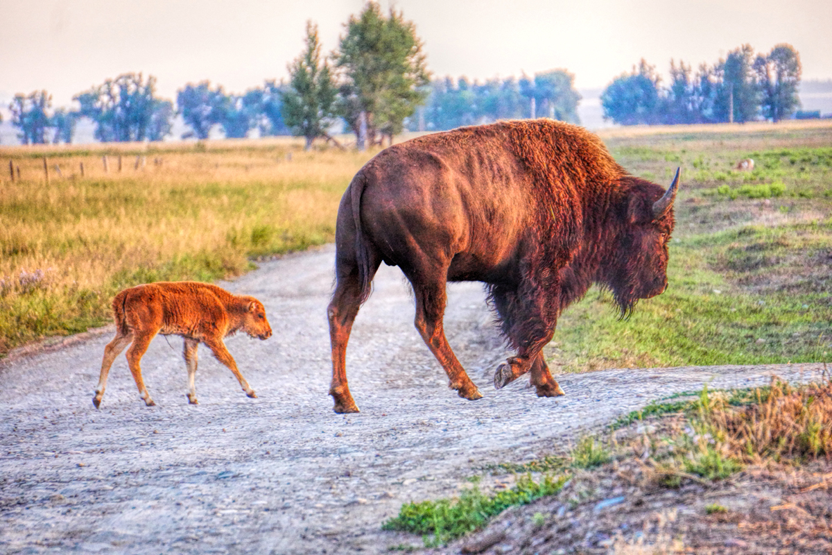
    The handful of animals I’d seen the day before had somehow morphed into an entire HERD of buffalo. In addition to the bulls with their classic beards, woolly coats, and humped backs, there were also a ton (many tons) of mothers with babies:


    Mom and baby, playing a lively game of “Why does the bison cross the road?”

    My telephoto lens picked out some pretty great scenes in the crowd, including this one, of a young buffalo cow who is REALLY enjoying her meal:


    Now that’s good eatin’!

    And this one, of a pair of young bulls sparring, literally locking horns:


    The young bulls were practicing for the day when they’ll be big enough to challenge the old bulls in a real fight, for supremacy in the herd

    And this one, of a mother with what I could swear must have been a newborn calf (newborn, as in just born!):


    I’m no expert on the wild American Bison, but this golden calf looked to me like a newborn, whose mother is helping him (or her) stand for the first time

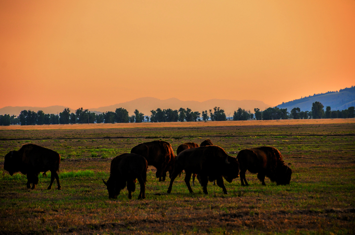
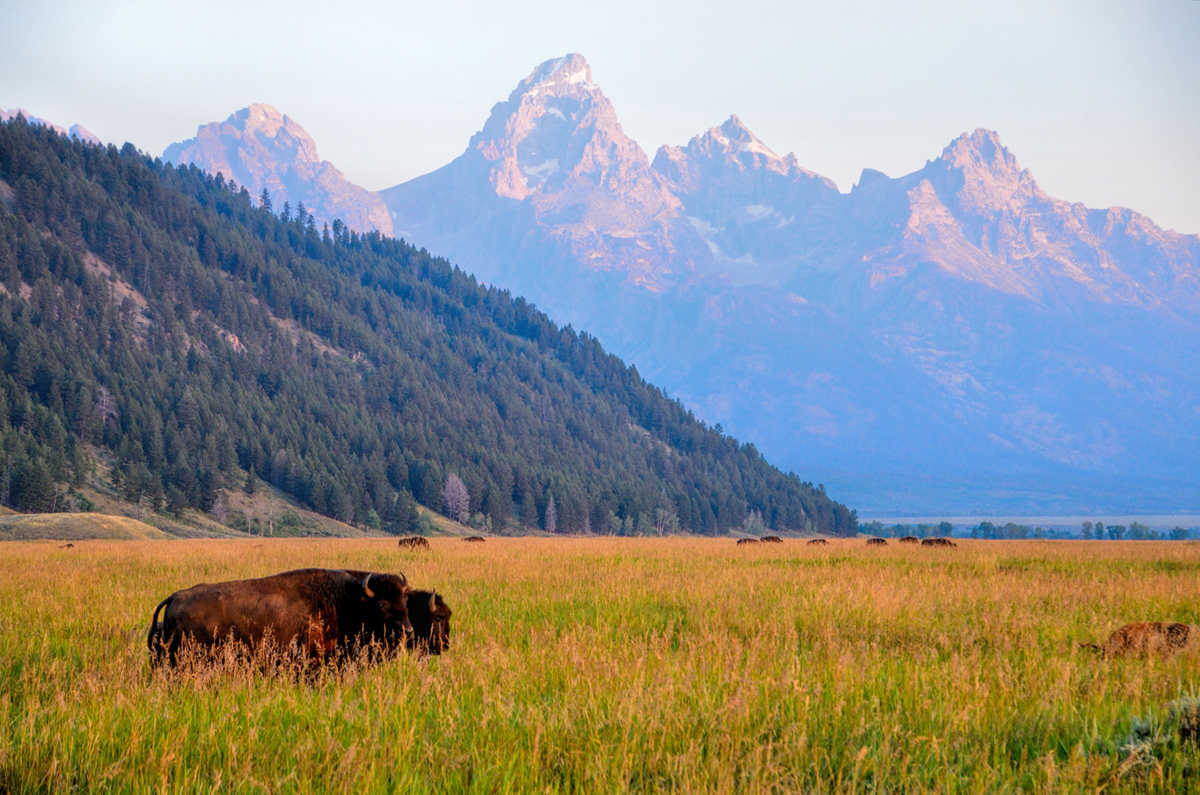
    I repositioned the Jeep, so that I could take the picture I’d originally come out to get:


    Buffalo Sunrise, Take 1

    But I could see that it wasn’t really the photo I’d envisioned. First rays of sunlight hitting the peaks? Check. Buffalo in the grass? Also check—but--the grass was too tall, most of the Teton Range was still in shadow, and there were too danged many buffalo! I went back to shooting candid portraits of the animals close by me. Then I had another go at my “staged” photograph:


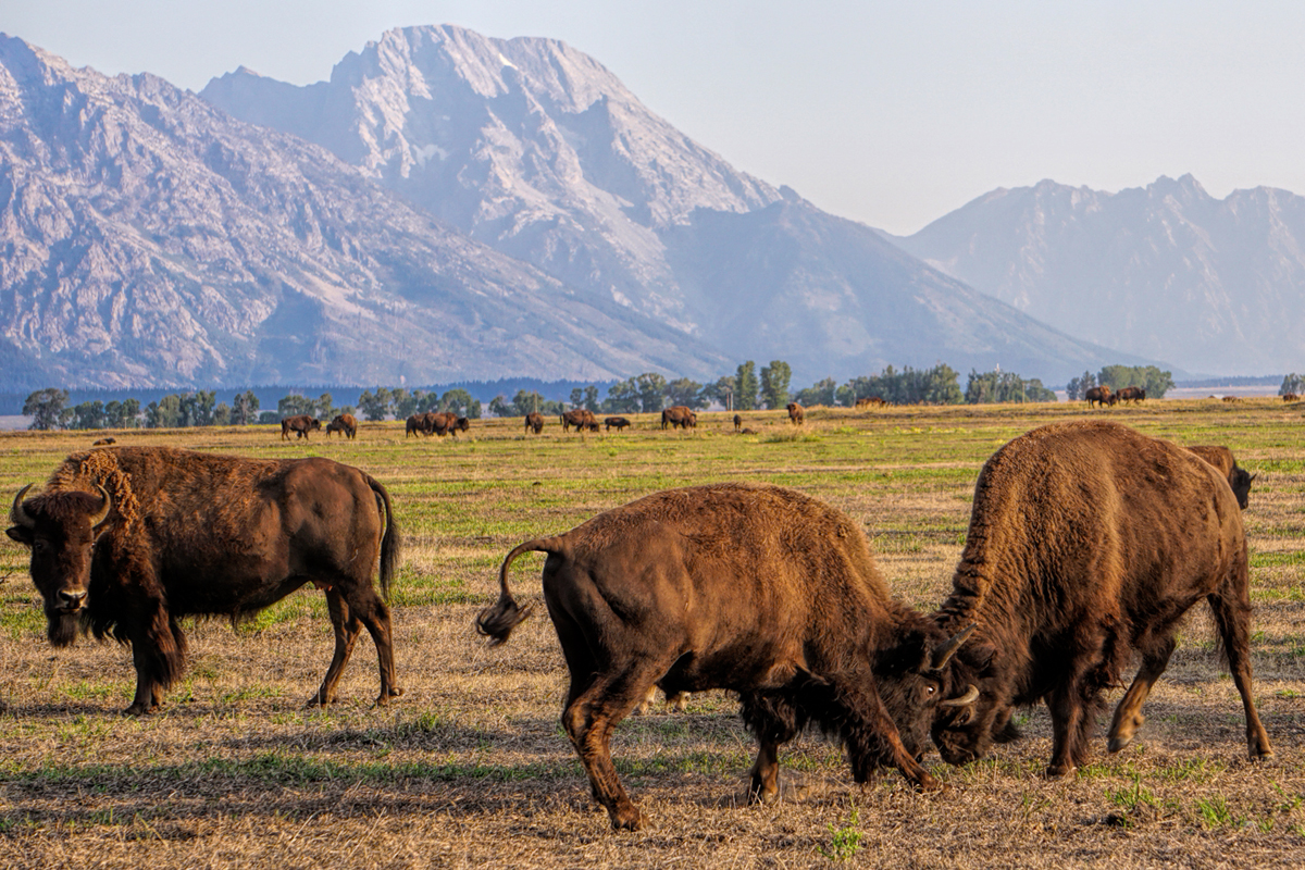
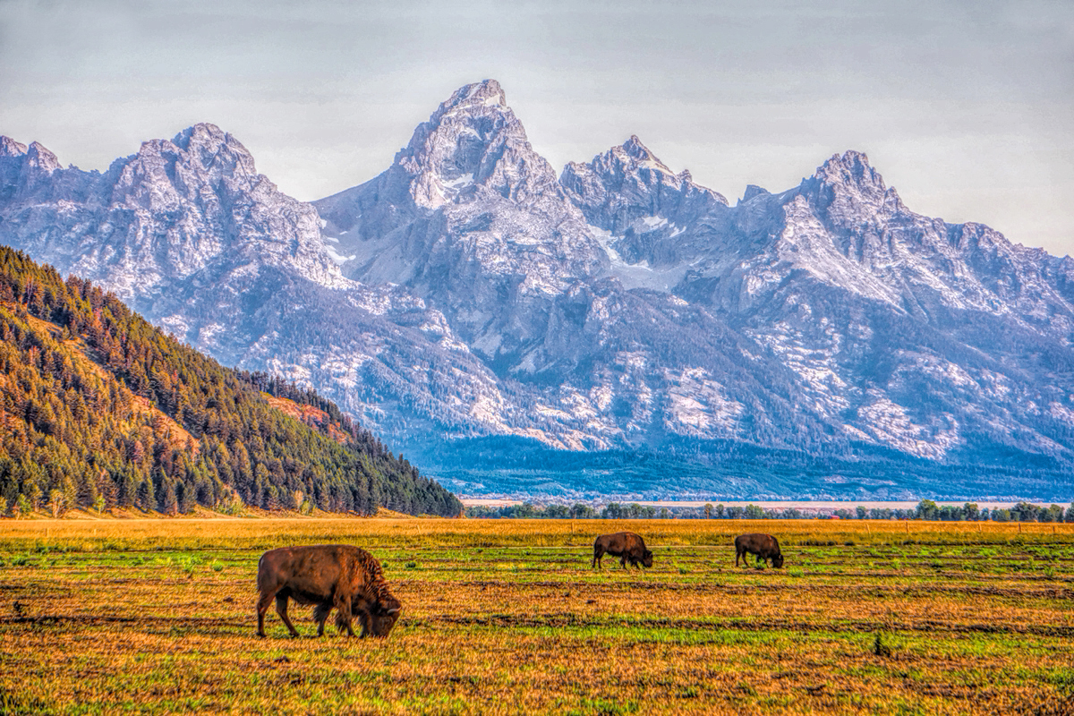
    Buffalo Sunrise, Take 2

    This time, the earliest early light on the peaks was past, but everything else was pretty perfect: three bison, all in a row, matching the three iconic peaks of Les Grand Tetons. Not bad--but far from my best photo of the day!

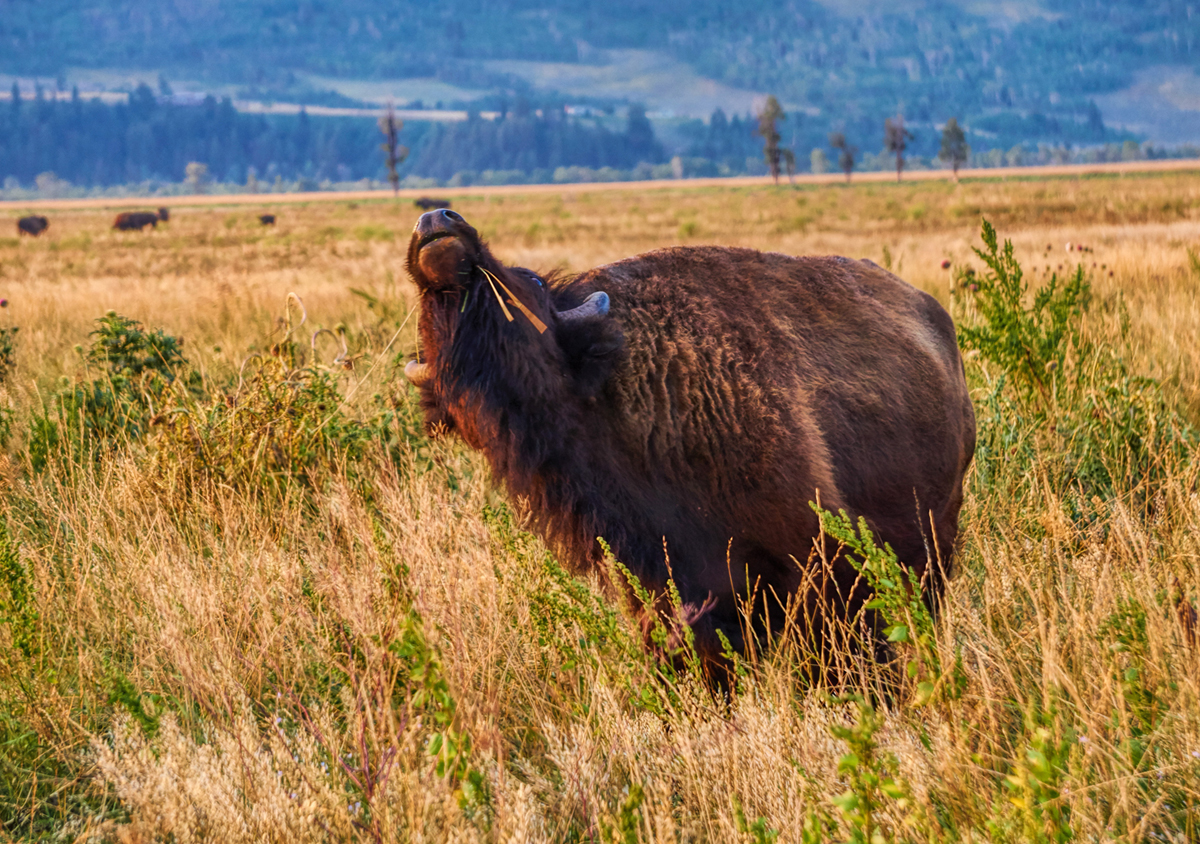
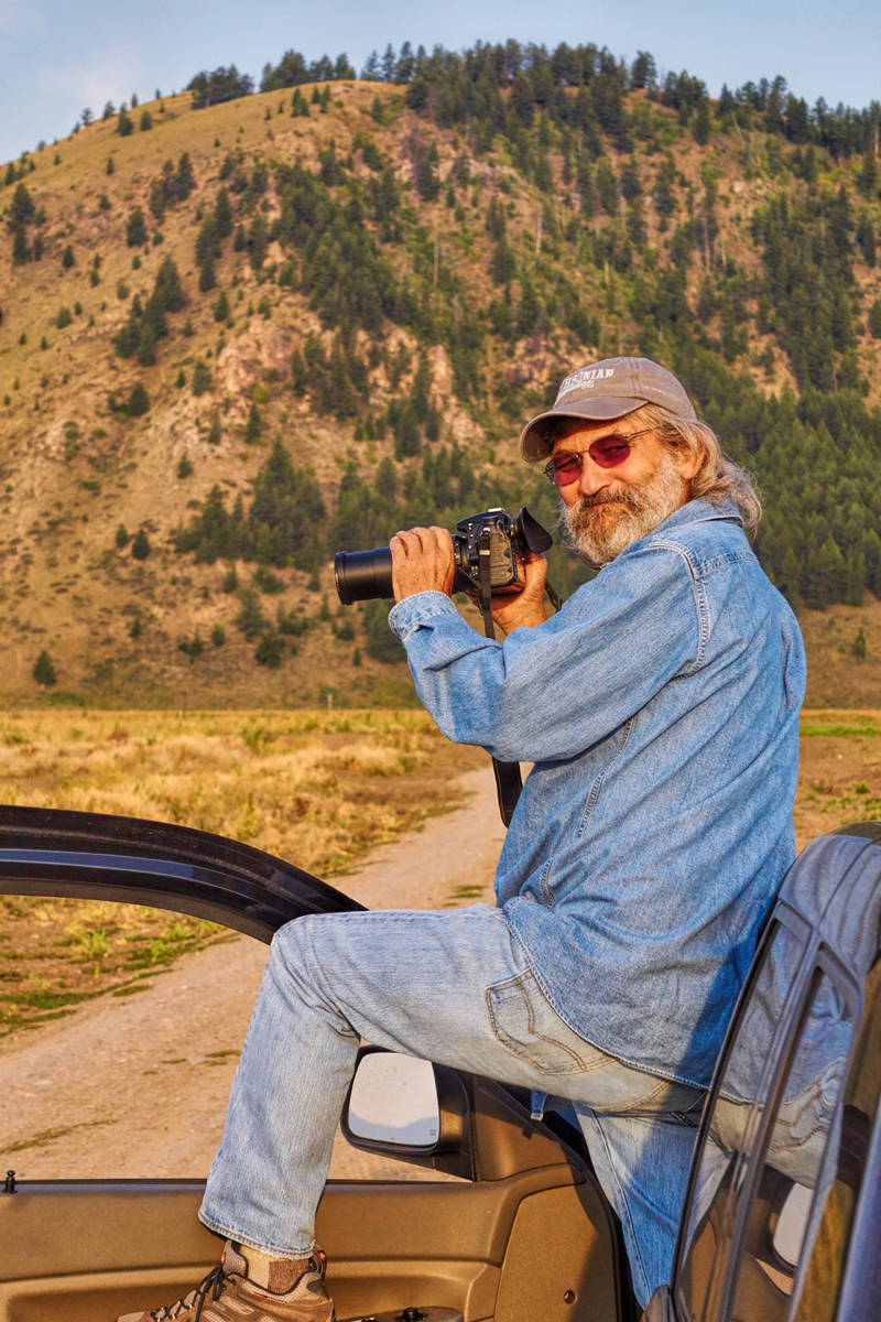
    My friend Carl was busy this whole time taking photos of his own, and he managed to catch the rarest photo of the day: an old goat in action:


    That sly smile is a dead giveaway: this old goat is having a really good morning!

    We lost track of time, but we were out there for several hours, at least, and I took hundreds of photographs. At one point, several big passenger vans showed up, Wildlife Photo Tours out of Jackson. Their well-heeled clients were paying hundreds of dollars apiece for the privilege of being driven out to the same spot where I’d parked my Jeep. Each of them took turns popping up through special roof hatches in these custom vehicles, so that they could take their wild animal photos in relative safety.

    Me, I had to improvise a bit on that whole roof hatch deal (see photo, above), so I probably wasn’t as “safe” as those pampered photo safari people, but I still felt pretty darned smug. We got out there much earlier than those guided tours, so we had that whole scene all to ourselves during the golden hour after the dawn, when the light is the very best for photography. And there was another big difference: all of those people, and especially the tour guides, knew exactly what they were going to find at Antelope Flats that morning. Carl and I, on the other hand, had stumbled across that herd of buffalo completely by accident. We were NOT expecting to see all of those animals in that field, so it was a huge surprise. Finding myself smack in the middle of a completely unexpected herd of buffalo, at sunrise, in the Grand Tetons? That has to be the very best kind of surprise that there is, in this whole big beautiful world!

    Eventually, the golden light was no longer golden, and we figured we probably had enough bison photographs for one day. It had been a truly magnificent morning, one of the best ever, but even the best things have to come to an end at some point. I started the Jeep and turned it around, then took one last, long look at the grand spectacle. This was as close as I’d ever been to primordial wildness, the world the way it used to be, before modern man and all his machinery screwed everything up. I suppressed a sigh (along with some very complicated emotions) as I put my vehicle in gear, and drove back to our campground.

    Due to seasonal road closures (snow, mud, road construction, etc.) some of the maps displayed in this thread are not displaying properly or you might see pop-up windows reporting errors found with the route. Unfortunately, the map data used to create these maps enforces these "Time-outs" if a particular road segment is closed. In the case of the pop-up windows (alerts), please click the "OK" or "Close" button and the rest of the page will display properly. In the case on some of the maps where the route seems all jammed up -- reloading the page where the map is displaying seems to solve the issue. All of these problems go away once the winter closures of the roads end. So, everything will look fine in the North American summer months.


    Click here for this RTA Library Map


    Before we left the area, I stopped at the Ranger Station to ask about that buffalo herd, and the way they’d just showed up out there, literally overnight.

    “This is the first day of hunting season,” the Ranger explained. “As of six o’clock this morning, bison outside the park are fair game. Those old bulls are so darned smart, they know exactly when to lead the herd down to the Flats, where they’re protected.”

    “That’s insanely cool,” I replied. “We were pretty shocked to see so many of those guys in one place.”

    “The area around Yellowstone, including Grand Teton, has the largest population of wild bison in the country,” the Ranger explained. “Descended from the last survivors of the big herds that used to run free on the Plains. But the main reason so many are out there together today is because this is the rut--better known as mating season. It happens every year right about this time.”

    Carl and I looked at each other and grinned, as the light bulb flashed on over our heads. That actually explained quite a lot, and the scene we’d witnessed suddenly made a lot more sense. All of that head butting and running around by the young bulls? They were fighting over the cows--and how cool was THAT?


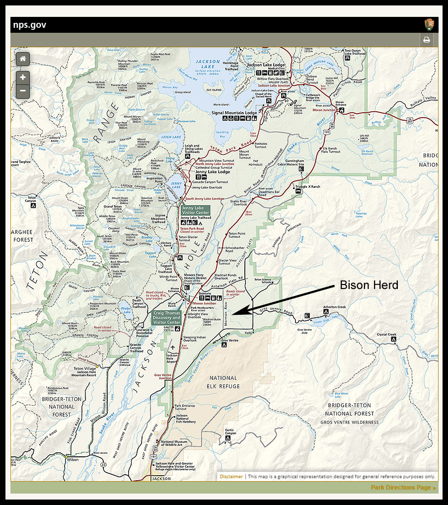
    The official National Park Service map of Grand Teton, with a graphic indicating the location of the bison herd

    Ultimately, we packed everything up—the tent and tarp perfectly dry for the first time in weeks, which was good, since this was likely to be the last time I’d be using that gear for a while. We drove to Jackson, wandered about the downtown area, made some phone calls, and then drove south, out of Wyoming, through a small corner of Idaho, and down into Utah, an uneventful journey that put us in Salt Lake City in the late afternoon. Carl had a flight back to San Francisco leaving the next morning, so we got a room near the airport, and tucked in for the night.


    Click here for this RTA Library Map

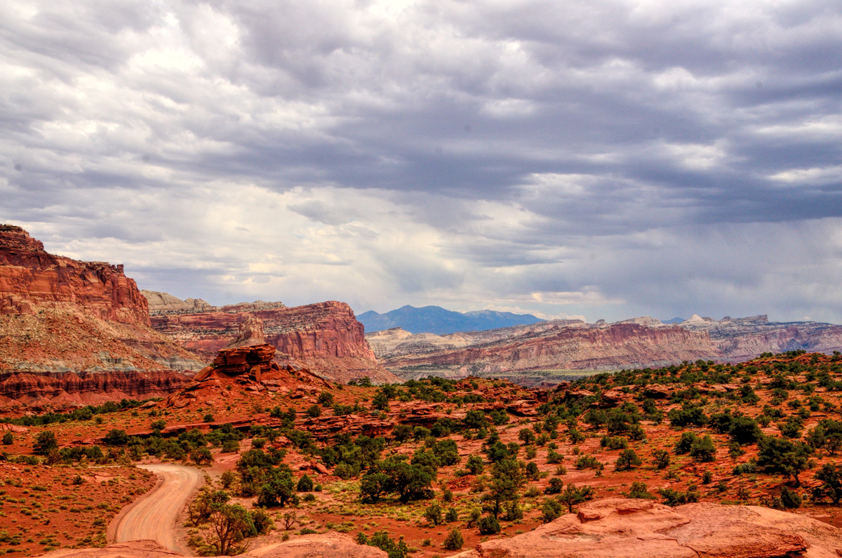
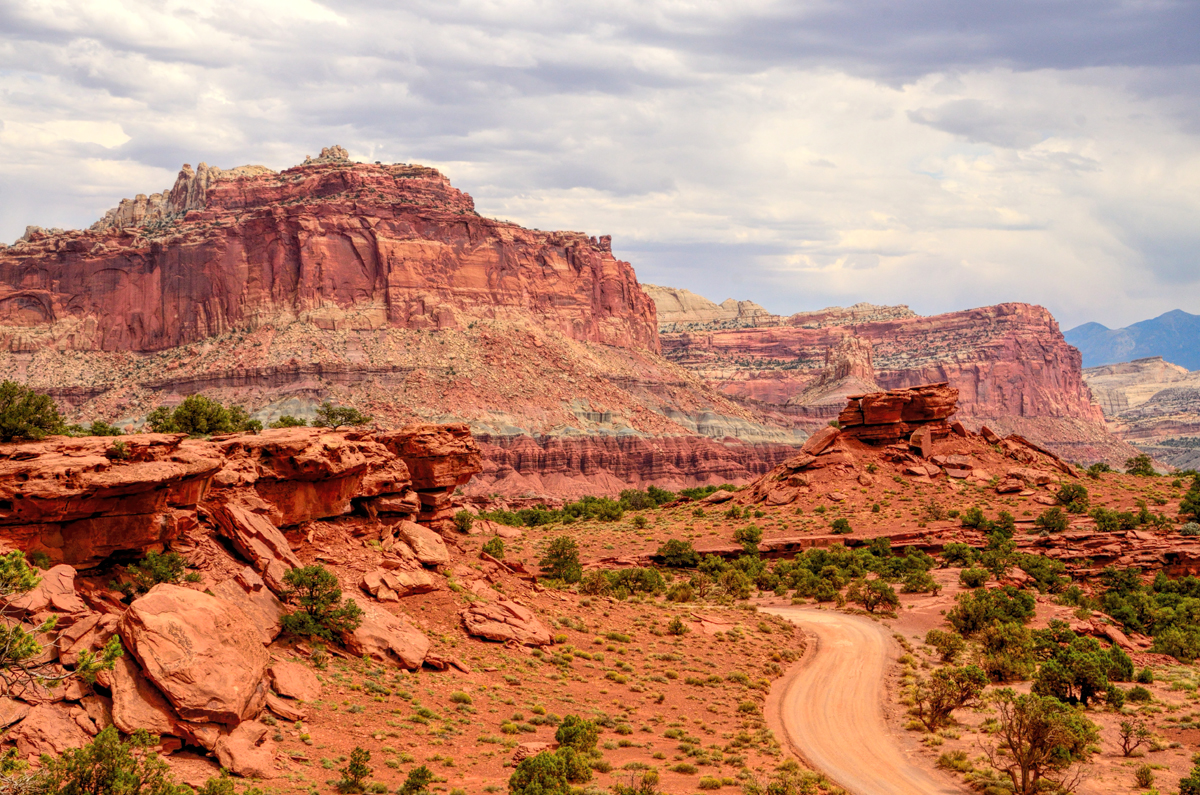
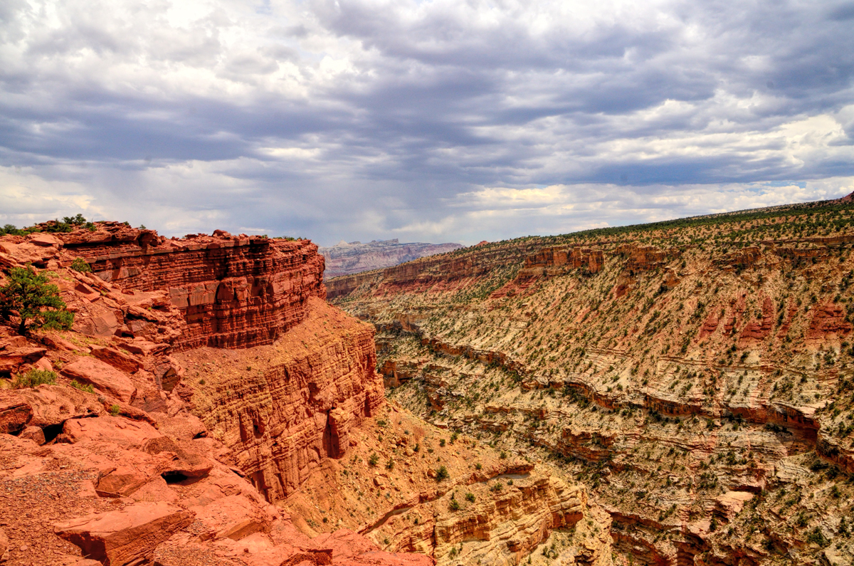
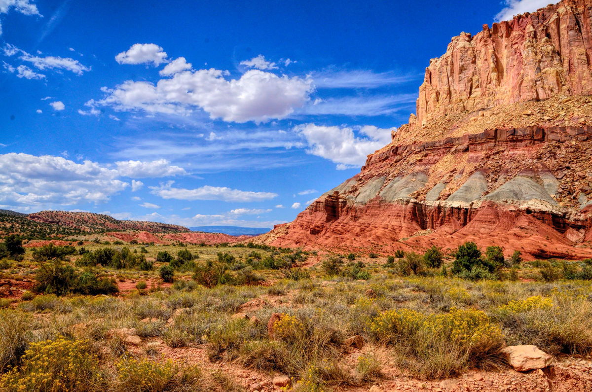
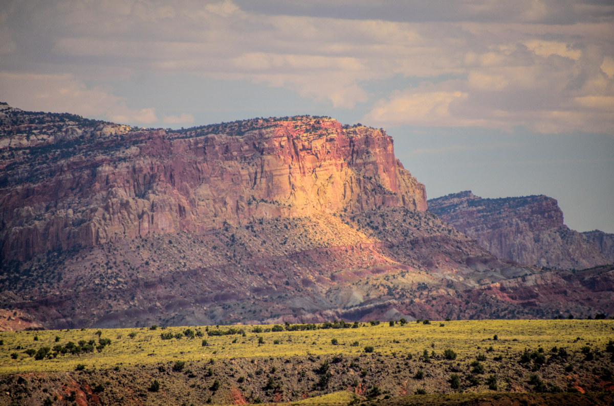
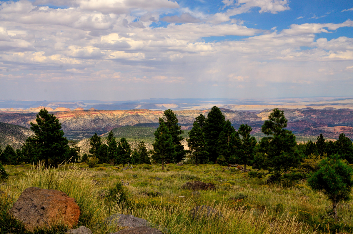
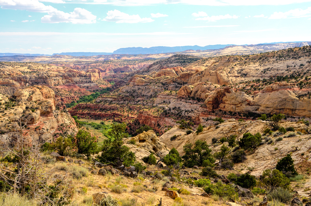
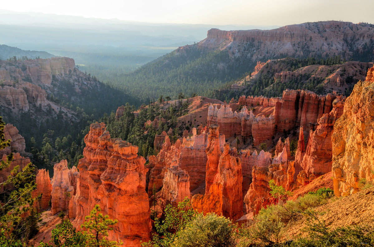
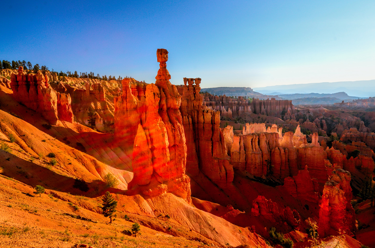
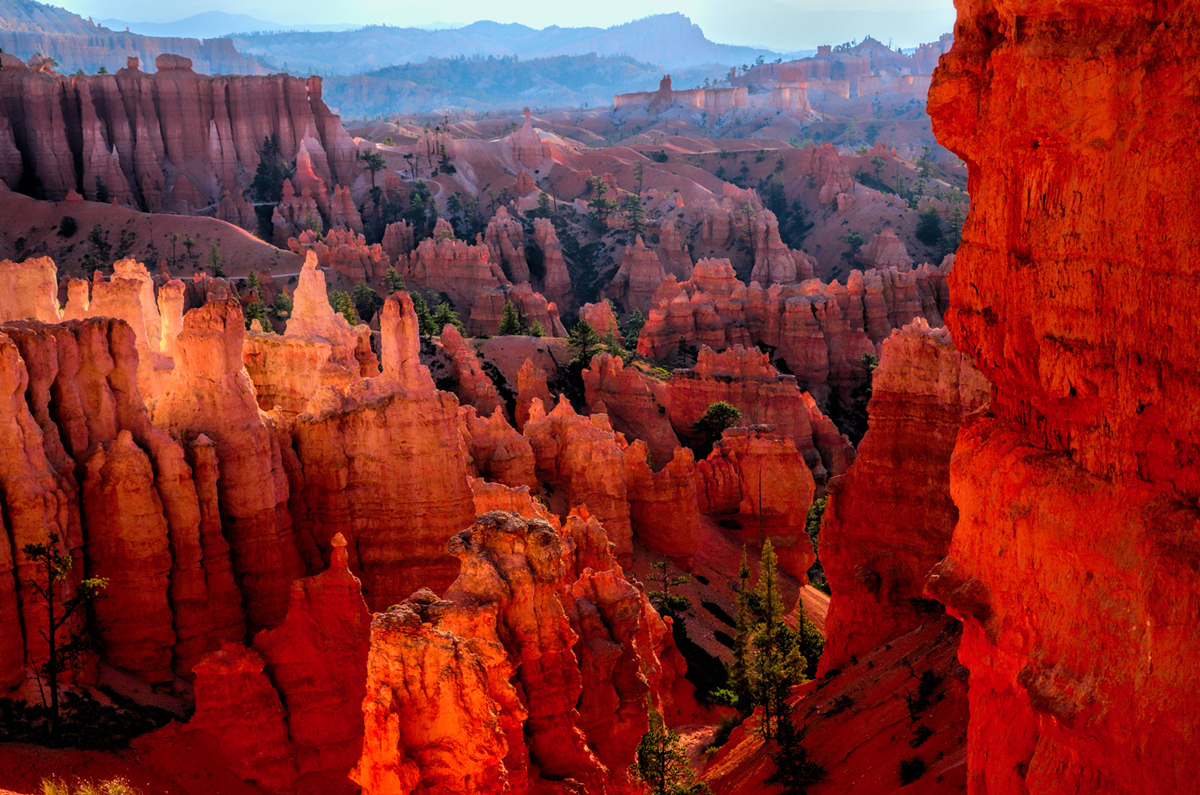
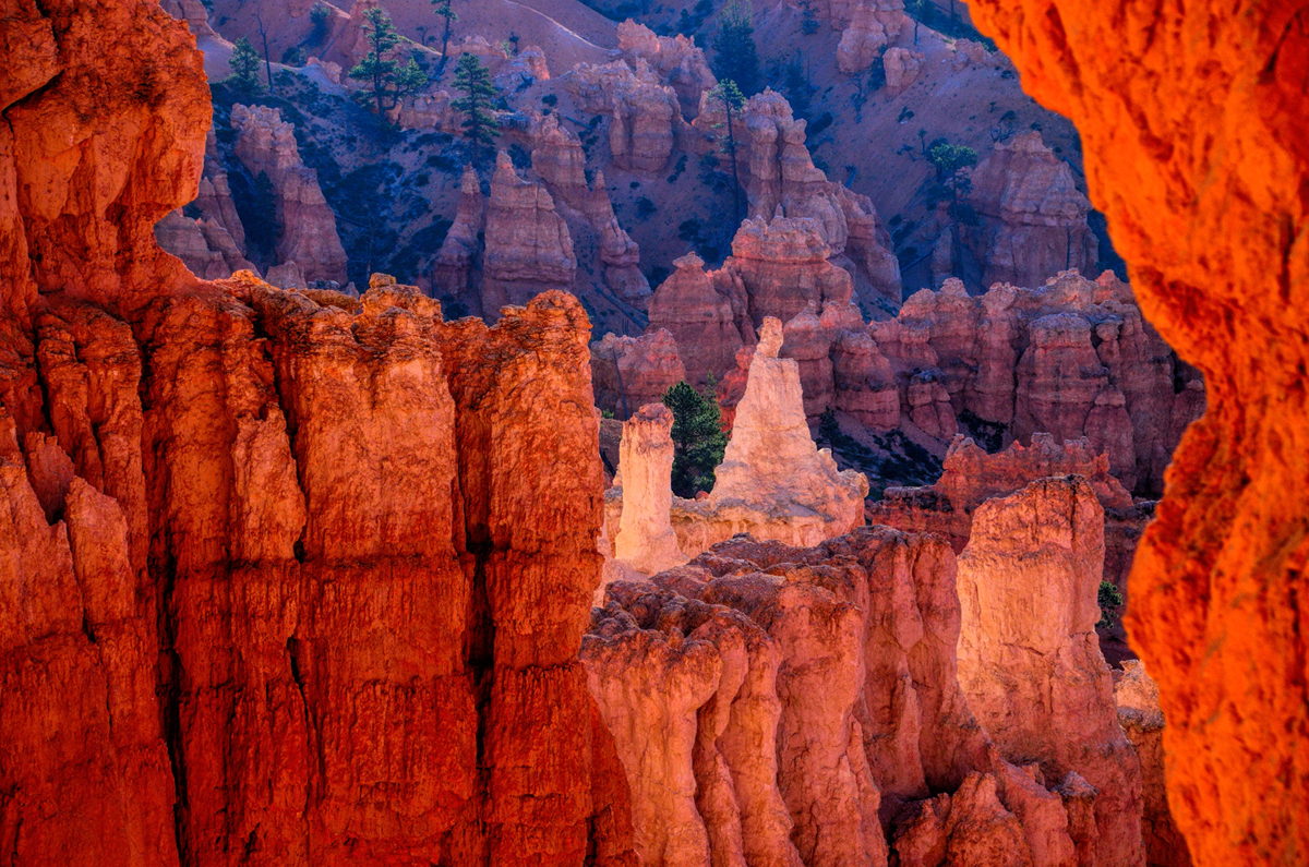
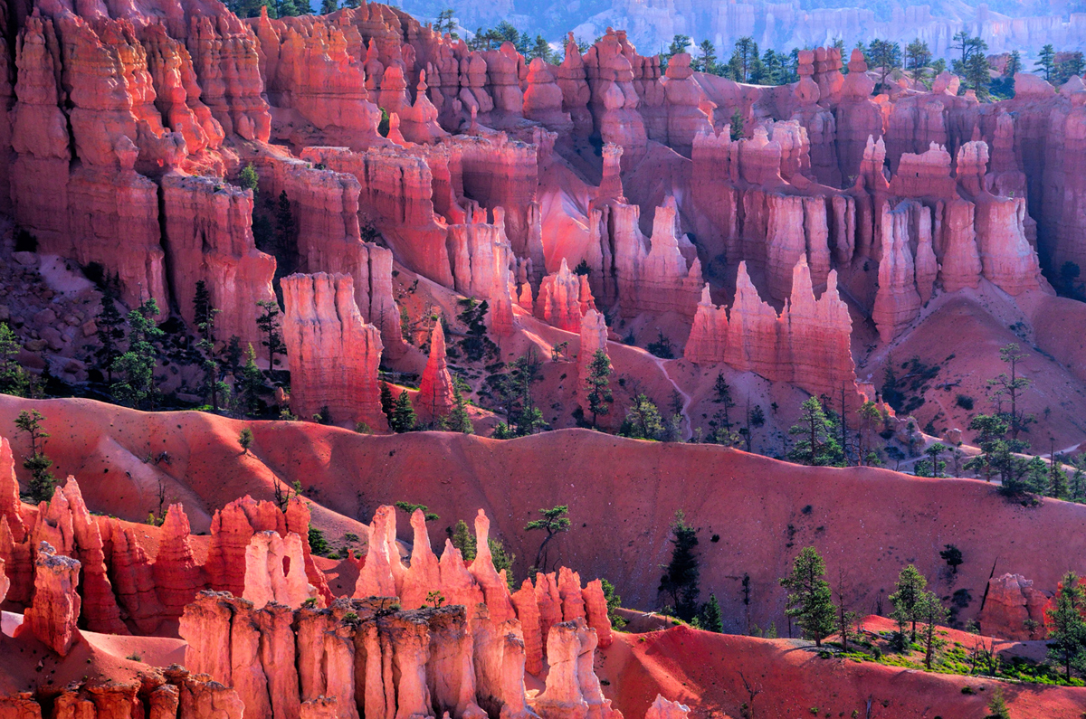
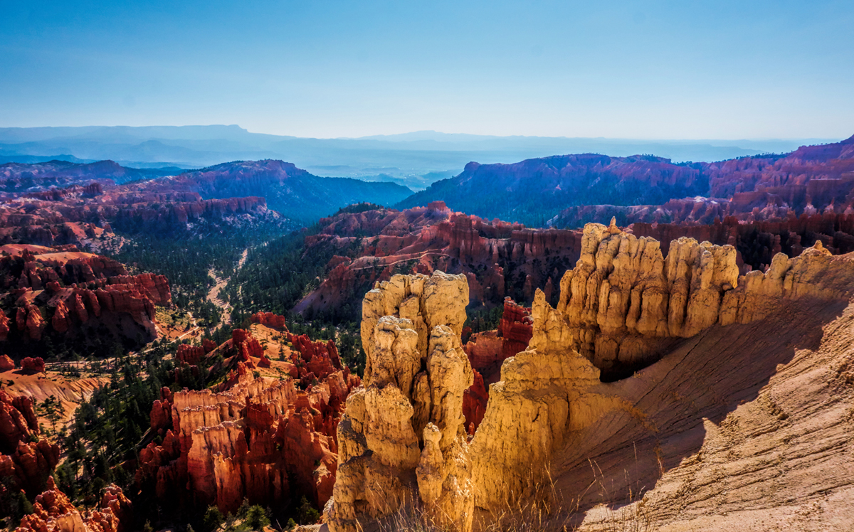
    Next up: Capital Reef National Park, and Utah Route 12 to Bryce Canyon
    Last edited by Tom_H007; 01-18-2022 at 02:50 AM. Reason: updated closure alert explanation

  2. #62
    Join Date
    Jan 1998
    Location
    Las Vegas, Nevada
    Posts
    12,997

    Default Great action shot of Rick

    The old goat photo was priceless and is now the "official RTA photo" of Rick Quinn on the Advisor's Page.

    (You will need to scroll down the page to Rick's entry to see it)

  3. #63
    Join Date
    Nov 2009
    Location
    Brisbane, Queensland, Australia, Australia
    Posts
    232

    Default

    Hahaha. It was Rick's own words to Mark. haha. Great capture though. All the pics have been fantastic. Loving the adventure.

    Keith

  4. #64
    Join Date
    Mar 2016
    Location
    Phoenix, Arizona
    Posts
    808

    Default

    Becoming an old goat is something everybody should aspire to! (Especially when you consider the alternative ;-)

    I realized that I neglected to include ANY usable information about our 5 hour drive south, from Jackson, Wyoming to Salt Lake City, Utah. At any rate, for the benefit of Tom, and anyone else who might be curious: I kept it simple, and followed US 89 almost all the way, through Montpelier, Idaho, along the shores of Bear Lake, through Logan, UT, and finally jogging over to I-15 just north of Willard, UT.

    Two more driving days to go, and I'll be wrapping this up!

    Rick

  5. #65
    Join Date
    Nov 2009
    Location
    Brisbane, Queensland, Australia, Australia
    Posts
    232

    Default

    I know what you mean Rick. My wife shot a pic of this old goat crossing the road in Badlands. hehe.

    Keith

  6. Default

    Quote Originally Posted by Rick Quinn View Post
    ...I kept it simple, and followed US 89 almost all the way, through Montpelier, Idaho, along the shores of Bear Lake, through Logan, UT, and finally jogging over to I-15 just north of Willard, UT.
    Thanks, Rick. I've updated your post https://www.roadtripamerica.com/foru...986#post191986 with it at the end.

  7. #67
    Join Date
    Mar 2016
    Location
    Phoenix, Arizona
    Posts
    808

    Default Utah!

    Day 56: Monday, August 17th

    I got up relatively early, and rearranged all the gear in the Jeep, tossing trash and stowing away all the maps and brochures and assorted memorabilia from all the National Parks we’d visited. We had breakfast at the hotel, then I took Carl to the airport, and bade him goodbye. Having a friend along with me for what was essentially the last leg of my trip had been great fun. We shared some truly spectacular “Oh, Wow!” moments; shared great conversations (and many reminiscences) on those long drives; and, last but not least, we shared the expenses! (Ha!) When it comes to traveling companions, shared interests are obviously important, but even more important is the ability to cordially tolerate one another’s quirks. (Show me anyone of either sex who is pushing their seventh decade, and I’ll show you a whole laundry list of quirks!) Carl and I fit together like a well-worn pair of shoes, so we enjoyed our journey together immensely.

    Now, I was back in my role of solo traveler, which has both pros (you get to go where you like, stop where you like, and you have lots of quiet time for reflection), as well as cons (you have nobody to talk to, and you have too much quiet time for reflection ;-). In any event, my very lengthy RoadTrip was roaring into the home stretch; I had just 750 miles to go before I’d be back in Phoenix, and I figured I could knock that out over two days. My original plan was to travel from Yellowstone and the Tetons down through Colorado, but because I’d jogged into Utah to drop my friend in Salt Lake City, I changed up. In some ways, I was anxious to get home, after being on the road so long. In other ways, I was wishing the trip would keep going, if only just for a while, because I was having such a marvelous good time! My compromise was to take in at least two of Utah’s famous National Parks on my way south: Capitol Reef, and Bryce Canyon. I’d never seen either of them, so I figured that would be a pretty good way to cap off “The Mother of all Road Trips.”


    Click here for this RTA Library Map

    I drove south on Interstate 15 as far as Scipio, where I picked up US 50. I followed that for about 25 miles to UT 260, which I followed until it merged with UT 24 just south of Aurora. UT 24 took me the rest of the way to Capitol Reef National Park, a total distance of about 220 miles from Salt Lake. That was maybe a four hour drive, with minimal stops, through rural Utah at its finest, picture-postcard perfect little towns and neatly kept family farms, blending into spectacular red rock scenery. The Capitol Reef centers on a “wrinkle in the earth” called the Waterpocket Fold, a region of red rock cliffs and stunning canyons, natural bridges, and “capitol domes,” white sandstone formations reminiscent of the domes that crown capitol buildings. The park is 100 miles long, but just 6 miles wide, and it encompasses some fabulous geology. I drove round trip on the 8 mile long “Scenic Road” from Fruita into the Capitol Gorge, which is the main thing you can do if you don’t have a lot of time.


    An unpaved spur off the Scenic Road into Capitol Gorge, Capitol Reef National Park


    I’m cheating here. This was actually taken from the exact same spot as the photo above it, just zoomed in a little bit and composed differently


    Capitol Reef is like red rock country on steroids, with beautiful canyons and cliffs running the hundred mile length of the “wrinkle in the earth" known as the Waterpocket Fold


    Early settlers classified cliffs such as these “reefs,” because they brought the wagons to a halt, in much the same way as the reefs in the sea are an impediment to shipping

    The park was not remotely crowded, and I’m sure it would have been a great place to camp, but I’d already decided I wasn’t going to hang around. I’d been told that the road between Capitol Reef and Bryce Canyon, UT 12, was one of the Seven Wonders of the World, so I was anxious to drive it while I still had plenty of daylight. That would put me 100 miles closer to my final destination, and I’d be able to start out the last day of my trip with a sunrise at Bryce. All in all, a solid plan.

    UT 12 was everything I’d been promised. The road was like a hundred mile-long roller coaster, with hairpin turns and 14% grades, running up and over a 9600 foot summit, then down through Grand Staircase Escalante National Monument, the road sort of scribbled across the ridge lines and zigzagging along the mountainsides, with views out to forever. That road was a TEN, officially! It sets the standard by which all other amazing scenic roads should be judged, and I mean that sincerely. I was blown away by UT 12, some of the most fun I’ve had driving—ever! And that’s saying quite a lot!


    Last views of the sandstone cliffs in Capitol Reef National Park, heading off on my drive along UT 12

    The scenery was gorgeous along that road, but I was so absorbed into the drive that I just couldn’t bring myself to stop for pictures. I was flying down that highway—not in the sense of driving fast (though I certainly wasn’t going slow). It felt like I was soaring across the landscape, effortlessly, in total harmony with the road and with my vehicle, like a hawk or an eagle riding the wind. Before I knew it, two hours had passed. I’d successfully negotiated (i.e., I’d slowed down in time to avoid) what looked to be a speed trap in the tiny town of Escalante, and then I cruised on along my way.


    One of just two photographs that I took while driving UT 12, a random shot from the side of the road that just barely hints at the grandeur of that drive


    The other photo, also taken from a wide spot in the road off UT 12, near Escalante

    I pulled into the town of Tropic at about 4:30 or 5:00. I planned to try for a space in a campground, but this area was crowded as the dickens, and I was afraid they would all be full. One of the motels had one last vacancy, so I grabbed it, not wanting to risk getting stuck with no place to lay my weary head. I had some pizza for dinner, but couldn’t finish it. My appetite in general throughout this long journey was really poor—probably pushing myself too hard, and It was beginning to catch up to me. On the plus side, I was losing some of that extra weight around the middle that comes with too many years at a desk job! I wanted to get going the next morning as early as possible, so it was lights out by 9:00.

    Next up: Bryce Canyon Sunrise
    Last edited by Mark Sedenquist; 03-05-2019 at 07:58 AM. Reason: Added the map

  8. #68
    Join Date
    Mar 2016
    Location
    Phoenix, Arizona
    Posts
    808

    Default From a Bryce Canyon Sunrise to the end of the road!

    Day 57: Tuesday, August 18th

    I got up at dawn and drove straight to Bryce Canyon National Park, sailing right past the gate, which wasn’t manned at that early hour. That didn’t really matter for me, since I have my lifetime Senior Pass, but I wondered how many tourists who SHOULD be paying an entry fee use that early arrival trick to sneak in for free? I knew nothing about the layout of that park, or where I should go first. My normal routine at a new National Park was simple: I always pick up a park brochure and map at the entry station, and then I stop by the Visitor’s Center to ask my standard question: what’s the best thing to see and do when you have limited time? Unfortunately, I was too early for any of that, and with the sky already lightening in the east, I had no time to waste. I perused the park signs, and chose the road to Sunset Overlook; as it turned out, that was also the perfect spot to watch the sunrise!


    Click here for this RTA Library Map

    Hoodoos are irregular columns of weathered rock, and they’re fairly common, as geological curiosities go, in the sense that they can be found on every continent. Bryce Canyon National Park is the top step of the Grand Staircase, and it consists of a high plateau with a series of bowl-shaped valleys scooped out along its eastern, step-like face. Inside those valleys, weathered by the millennia, can be found the largest, most vibrant, most extraordinary concentration of hoodoos on the entire planet! It’s an astonishing sight at any time of day. At dawn, when the rising sun sets those rocky spires ablaze with golden light, it’s a sight that will take your breath away. Sunset Overlook gave me a fabulous view of those blazing hoodoos, and--this was so cool--I had the place entirely to myself. There was no sound but the wind, and scattered birdsong from the trees along the rim; it was like witnessing the dawn of creation, and I was so wide-eyed with wonder that I (almost) forgot to pull out my camera!


    The first rays of the rising sun ignite the hoodoos at Bryce Canyon, setting the rocky spires aglow


    Like rows of soldiers standing sentinel, the formations at Bryce greet each new dawn


    The valley of the hoodoos starts out in deep shadow; sunlight kisses the tops of the spires, and spreads downward like a slow burning flame


    Multi-colored stone and fantastic weathered formations add a unique texture to the landscape

    This was the just-right cherry on the top of my journey, and it seemed entirely fitting that the final extraordinary event in such a wonderful series of extraordinary events should be a sunrise, a beginning, and oh, so perfect, in light of my personal circumstances. A whole new phase of my life was about to begin. In fact, it was already in progress. Before I left on this trip, my new status as a retired person hadn’t really sunk in yet; after 57 days on the road and 24 National Parks there could no longer be any doubt in my mind. This RoadTrip really HAD transformed me (into an old goat? Ha!); at any rate, after this one, my life would never, ever be the same.

    I stayed out there at the overlooks for several hours, taking close to 300 photos from Sunset Point, Inspiration Point, and Bryce Point, working my way higher up the line, finding every vantage point a little bit different.


    As the angle of the sunlight shifts, the spires take on an other-worldly hue

    People started arriving after the first hour or so. One or two cars at a time pulled into the lot, hikers, mostly, and random tourists. It didn’t really get crowded until after 9 AM, when the tour buses started arriving. There are a number of tour companies that take visitors to some, if not all of the National Parks in southern Utah; Zion, Bryce, Capitol Reef, Canyonlands, and Arches are all within less than 400 miles of one another. Some tour groups do all of the Utah parks, and then they keep going down to Monument Valley, Lake Powell, and the Grand Canyon in Arizona. That’s actually a very cool itinerary known as the Grand Circle, a trip that’s particularly popular with visitors from overseas. Sure enough, three buses arrived all at once, and disgorged something on the order of 200 Chinese tourists, who descended on that overlook like it was a ride at Disneyland. I was about done taking my pictures at that point, so I quietly took my leave, stopping for one last photo on the way out:


    The hoodoos are the big draw at Bryce, but the surrounding countryside has a beauty all its own

    From Bryce, it was a bit more than 420 miles to Phoenix by the most direct route: US 89 to Flagstaff (via Kanab and Page), followed by a speed run down to the big city on Interstate 17. Three hours into that drive I crossed the Colorado River on the bridge near Glen Canyon Dam, and at that point, I was back in ultra-familiar territory, on roads that I’d driven many, many times before. There was a section of US 89 south of Page that had just reopened after a lengthy closure. At least 20 miles of the roadway had been completely rebuilt, and the brand new asphalt surface was smooth as could be. I was driving pretty fast, humming right along, but there was a guy behind me in a BMW who was very determined to go even faster. He floored that thing, and whipped around me on my left doing at least 100 miles an hour. When he cut back into my lane, he hit a patch of loose gravel left over from the construction, and fish-tailed. He was able to hold it on the road—just barely—but in the process, his tires spun off a big piece of that gravel that hit my windshield square in the middle, KA-POW! Almost like a rifle shot:


    I’d just driven 13,000 miles, all the way to Alaska and back on roads that are famous for destroying windshields, and I’d come through it all without a scratch. Now, here I was, just three hours from my house, driving on a brand new road, and this happens? That star, maybe half an inch across, remained a battle scar on the windshield of my Jeep for a very long time after that, not so much a reminder of my trip to Alaska as it was a reminder to watch out for idiots in little Beemers!

    When I arrived in Flagstaff, sooo close to the end of my route, I got stuck in a horrible traffic jam. All of the traffic on Hwy 89 was stopped dead for some poorly organized road construction; I waited 20 minutes to move no more than 20 feet, so I bailed down a side street, and promptly got lost in a part of Flagstaff I’d never seen before. I let Siri guide me back to the highway—but that required some serious resolve on my part. For the first ten blocks she kept trying to lead me straight back to the traffic jam—“Make a U-turn”, she’d say. “No way!” I’d reply, until I finally circumvented the blockage and found my way to the freeway.

    For the last two hours of the drive I was on auto pilot (and cruise control) arriving in Phoenix in what seemed like no time at all. I was born and raised in Phoenix, and watched it grow from a sleepy little town in the desert into the 5th largest city in the U.S. Since I lived and worked away from home for most of the last 10 years of my career, first in St. Louis, and then in Washington D.C., I’d completely lost track of the sprawling growth. When I drove into town from the north, I passed several exits off the Interstate named for major streets I’d never even heard of. My old home town has changed so much from the place where I grew up, there were whole huge parts of the city that I scarcely recognized. I took the Glendale Avenue exit off I-17, and drove east toward the mountain that dominates my part of town. They’d changed the name of it from ‘Squaw Peak’ to ‘Piestewa Peak,’ after it was determined that the word “squaw” was offensive. Fortunately for me, the mountain itself hadn’t changed a bit, and its distinctive profile was reassuringly familiar. When I pulled into the driveway of my house (which was also reassuringly familiar), I shut off the engine, and just sat there for a bit, savoring the somewhat anticlimactic moment. My own personal Grand Circle was complete! My wife had a pot of my favorite “welcome home” chili simmering on the stove, and I was just in time for dinner.
    Last edited by Mark Sedenquist; 03-05-2019 at 07:58 AM. Reason: added the map

  9. #69
    Join Date
    May 2011
    Location
    Central Missouri
    Posts
    5,942

    Default

    I know what you mean about the urban sprawl of Phoenix. When we first moved to Arizona, Bell Road meant you were done with Phoenix when you were heading north (or starting it, heading south) on I-17. Now there's Anthem, and a whole bunch of new Loops that blow my mind!

    Tucson is about the same. Now Tucson starts in Marana when heading east, which was a good 18 miles out of Tucson when we first lived there!

    I have enjoyed reading every bit of your trip journal. You brought back a lot of memories, and the addition of the Utah parks tour gives me some information for our upcoming "short trip" this July. Those sunrise pictures of Bryce were just gorgeous!


    Donna

  10. #70

    Default

    Thank you! I have SO much enjoyed your road trip and all the beautiful pictures. I’m sorry it’s done as I’ve been like a kid looking forward to the next episode. Our road trip from Virginia to Colorado last summer wetted my appetite for more and caused me to find this website which is great. Now I’m in the midst of trying to figure out something for August/September and also want to at some point visit the National Parks in Utah. So many choices!

Similar Threads

  1. Visit ALL of the National Parks?
    By Rodentranger in forum Planning Summer RoadTrips
    Replies: 8
    Last Post: 08-17-2014, 12:13 PM
  2. 14 days planned from SD to the National parks and back to SF and confused
    By driving miss daisy in forum Spring RoadTrips
    Replies: 10
    Last Post: 03-02-2013, 04:24 PM
  3. national parks tour pt.1 - colorado, arizona and utah
    By adamharwood84 in forum Spring RoadTrips
    Replies: 5
    Last Post: 04-04-2011, 04:28 PM
  4. The Mother of All American Roadtrips
    By bmy78 in forum Planning Summer RoadTrips
    Replies: 11
    Last Post: 07-01-2009, 12:47 PM
  5. The mother of all road trips
    By moisf in forum Off the Beaten Path
    Replies: 1
    Last Post: 08-17-2008, 05:07 PM

Tags for this Thread

Posting Permissions

  • You may not post new threads
  • You may not post replies
  • You may not post attachments
  • You may not edit your posts
  •