Hazardous Weather Outlook
HAZARDOUS WEATHER OUTLOOK
NATIONAL WEATHER SERVICE SAN JOAQUIN VALLEY - HANFORD CA
608 AM PST MON FEB 29 2016
CAZ096-097-011415-
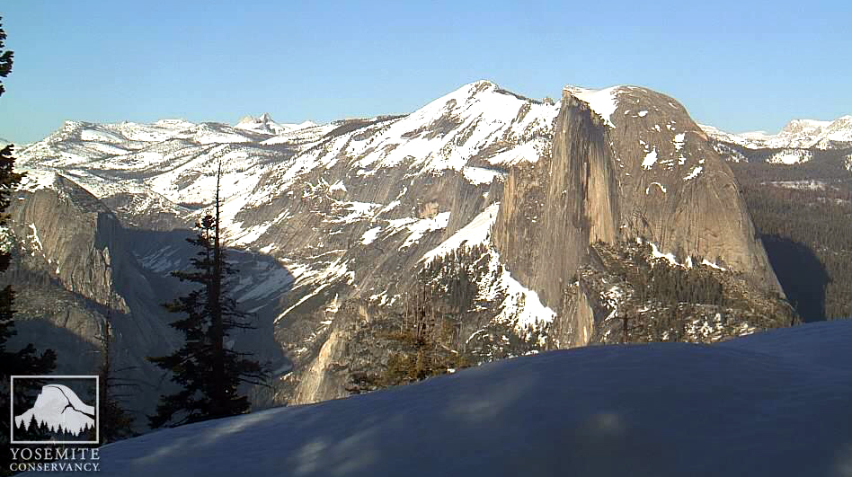
SIERRA NEVADA FROM YOSEMITE TO KINGS CANYON-
TULARE COUNTY MOUNTAINS-
608 AM PST MON FEB 29 2016
THIS HAZARDOUS WEATHER OUTLOOK IS FOR THE HIGHER ELEVATIONS OF
THE SOUTHERN SIERRA NEVADA.
...SNOW RETURNING FOR LATE NEXT WEEKEND...
.DAY ONE...TODAY AND TONIGHT
NO HAZARDOUS WEATHER EXPECTED.
.DAYS TWO THROUGH SEVEN...TUESDAY THROUGH SUNDAY
* SNOW ACCUMULATIONS: ONE TO TWO FEET POSSIBLE
* ELEVATION: ABOVE 7000 FEET
* TIMING: STARTING LATE SATURDAY NIGHT AND CONTINUING THROUGH
SUNDAY NIGHT
* LOCATIONS INCLUDE: YOSEMITE NATIONAL PARK...SEQUOIA AND KINGS
CANYON NATIONAL PARKS...SIERRA AND SEQUOIA NATIONAL FORESTS
* IMPACTS: SNOW COVERED ROADS WITH DANGEROUS TRAVEL CONDITIONS.


 Reply With Quote