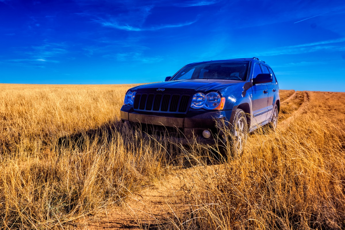
Is this a hill and not a Silly mountain ? Is it on US60 ?
Dave.


Is this a hill and not a Silly mountain ? Is it on US60 ?
Dave.

And I would play, but I have an unfair advantage, I've seen most of these photographs in the process of publishing Rick's book.
But I am enjoying lurking as you geo-sleuths figure them out!
Mark

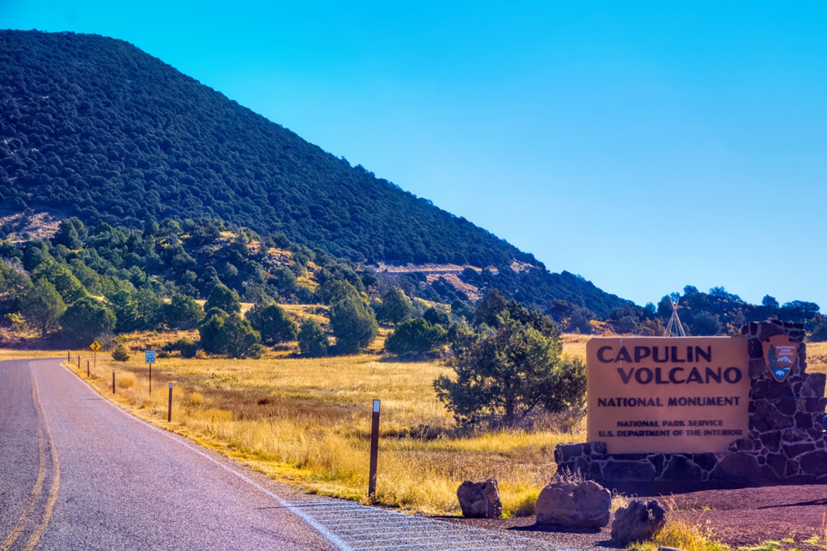
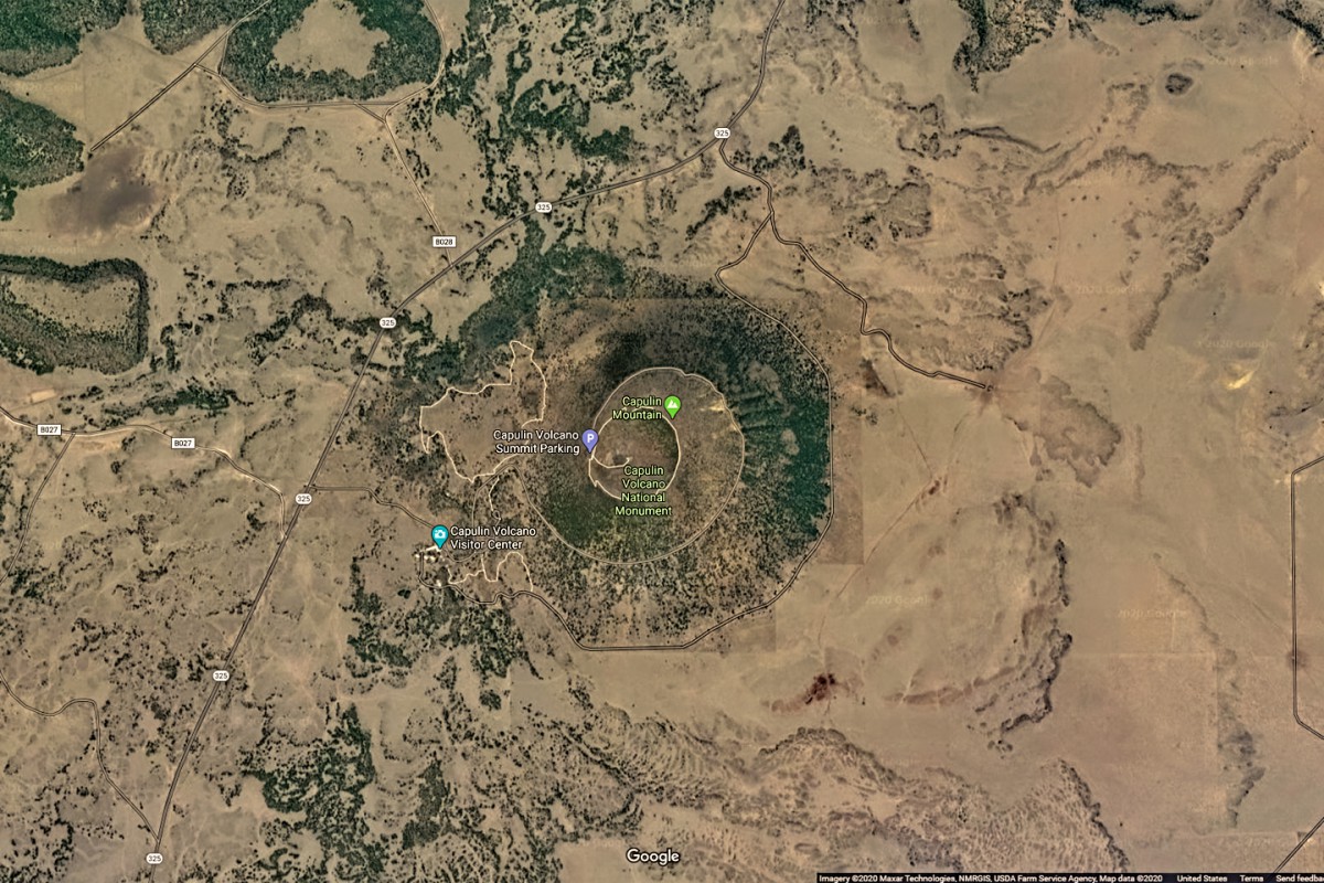
Well, it's not Sunset Crater, and it's not on US 60. It's Capulin Volcano in northern New Mexico. Just a slight detour off I-25, it's nevertheless one of our more obscure National Monuments.
As I mentioned in my clue, there's a road that takes you most of the way up, and a summit trail that takes you the rest of the way to the top, where you get quite the spectacular view.
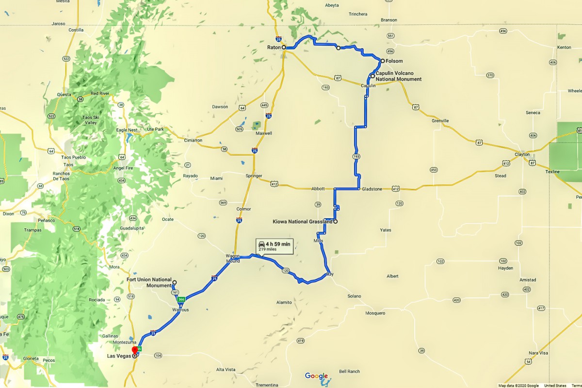
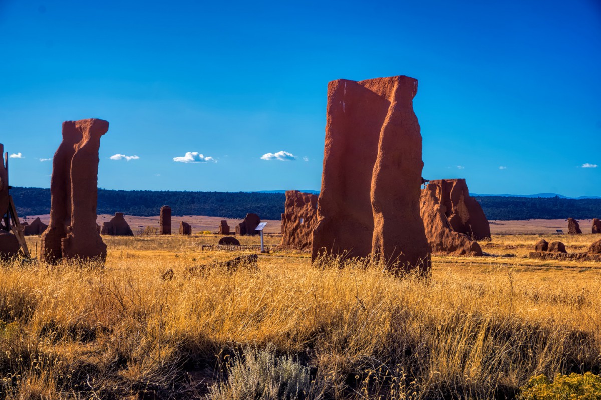
This area was originally slated to be part of my book, but it was bumped when I ran out of room for it. That makes it sort of like a "deleted scene." The route ran from Raton, NM to Las Vegas, NM, across starkly beautiful Johnson Mesa, through the little town of Folsum (where they have an interesting museum) to Capulin Volcano. From there, the route followed the Frontera del Llano Scenic Byway to and through the Kiowa National Grasslands before making a stop at Fort Union National Monument on the way to Las Vegas, NM.
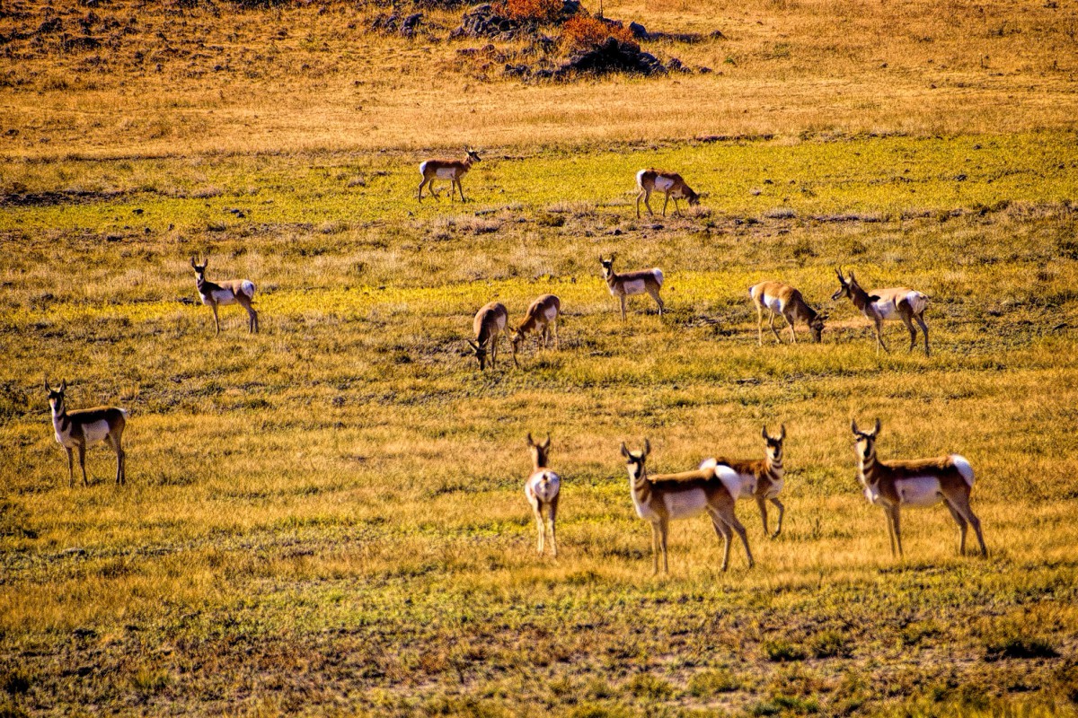
There were good sized herds of pronghorn antelope all over the place
When I asked my GPS to take me to the Kiowa Grasslands, it led me to this exact spot, where the wheel tracks just--stopped!
Fort Union has certainly seen better days!
This was actually a pretty cool Side Trip. If anyone is ever in that area, I can recommend it!
Here's a lovely set of photographs:
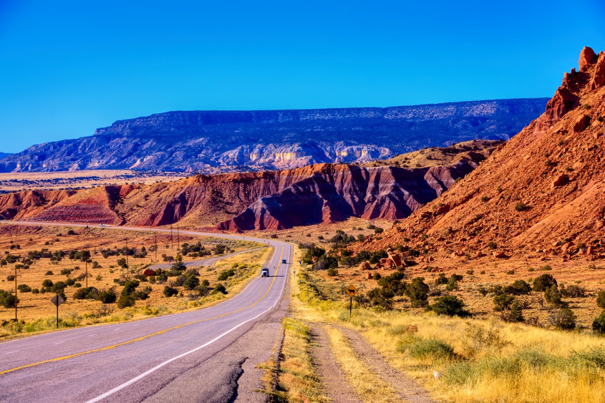
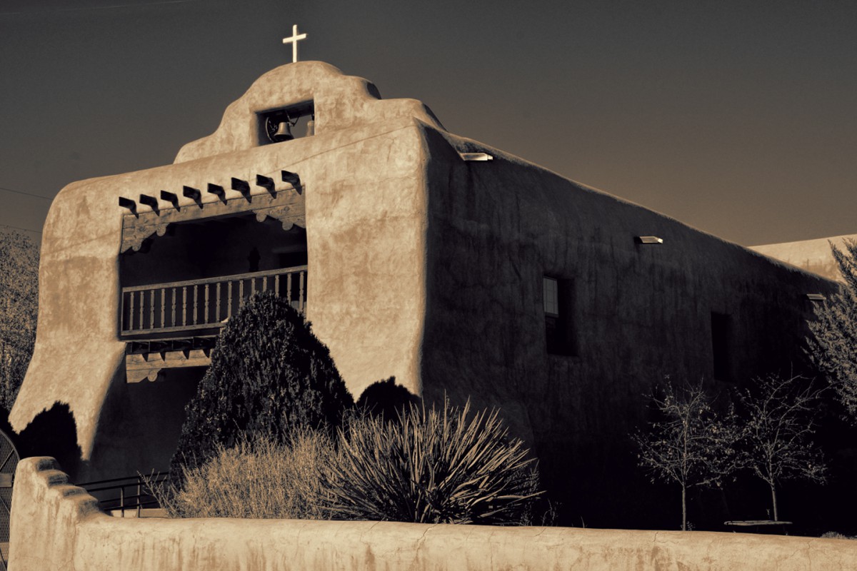
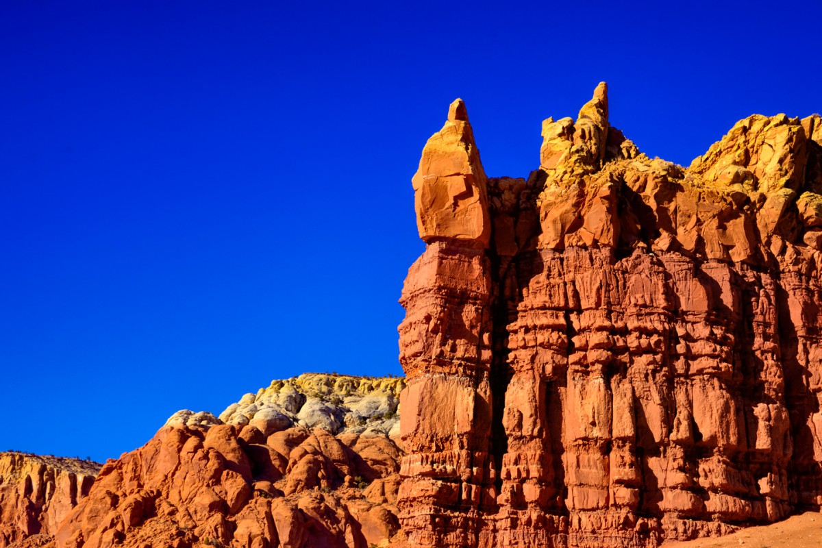
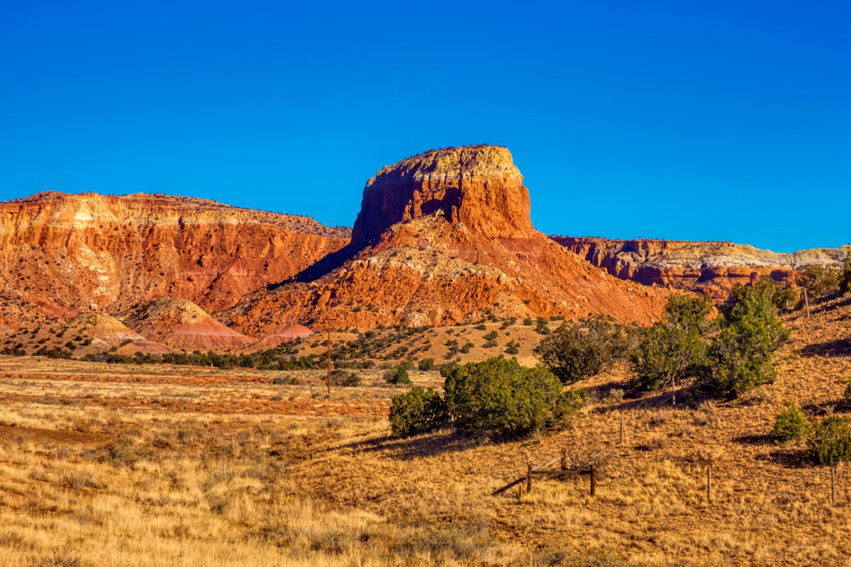
See if you can identify the highway in the first photo (above) The church is a major clue, and the rock formations "might" trigger a memory for anyone who has been down that road before.
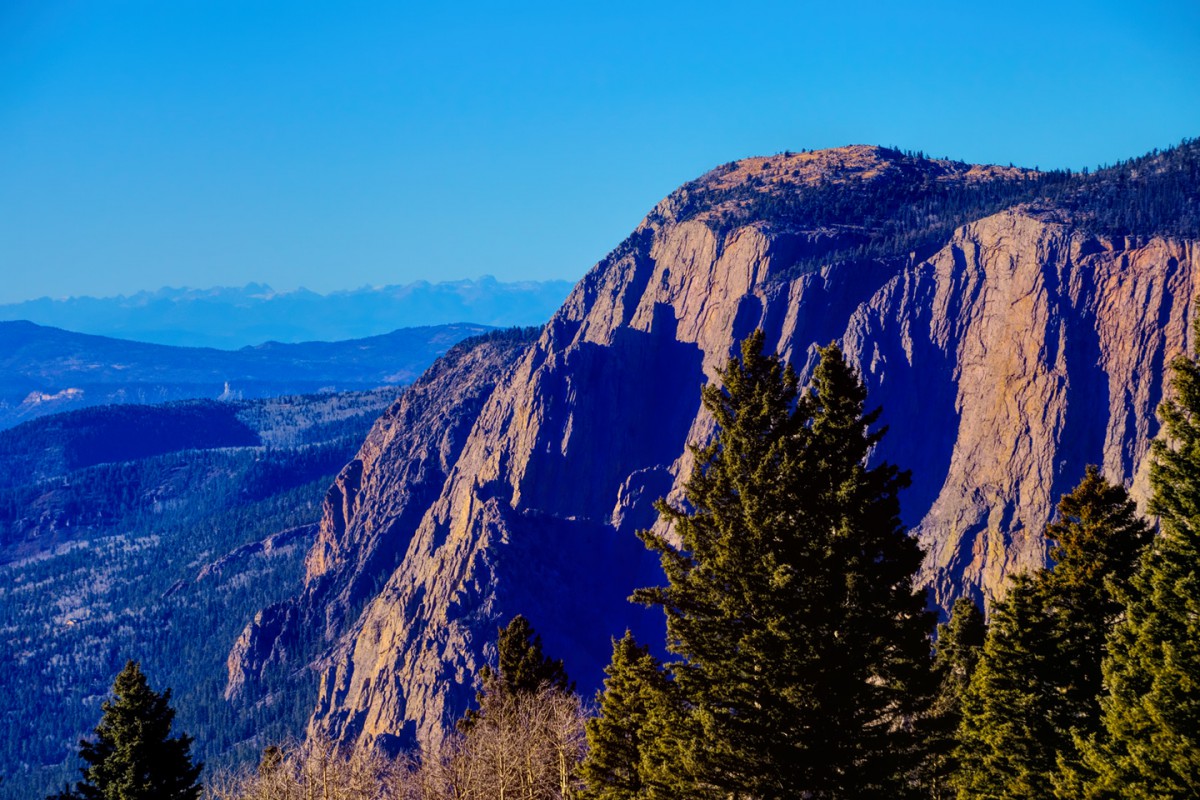
For bonus points, see if anyone can identify this rather large cliff in the 5th photo. It's close by, but on a different US Highway, and it's so big, it affects the weather, diverting wind and storms!
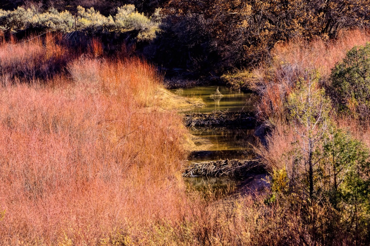
This 6th photo isn't really a clue to anything, but there are two beaver dams and a beaver lodge in the picture, and I thought it was pretty sweet!
On reflection, I have to admit that if you're not a fan of unique adobe churches, I didn't give you a whole lot to work with in that last set of photos. To make up for it:
This here is a silver platter:

And this here is your next clue.
Tuck it in just after the church in the above sequence, and if you've been there (and even if you haven't), it shouldn't be too difficult to identify the mystery Highway. Naming the big cliff might require a map. (Unless, like Mark, you happen to have a copy of the Insider's Guide to Rick's "Where Am I?" Quiz! With that in hand, you won't need a map. :-)
Is the highway is US 84E and the church is St Thomas the Apostle in Abiquiu ?
Dave.
Good job, Dave; that's a yes on both counts. This is the beginning of Scenic Side Trip #25, which runs from Santa Fe north to Abiqui, and on to Tierra Amarilla, where it connects to US-64, which it follows up and over 10,507 foot Brazos Summit (the highest point on any through highway in New Mexico), across the Rio Grande Gorge, then through Taos, Angel Fire, and Cimarron before reconnecting with I-25 in Raton.
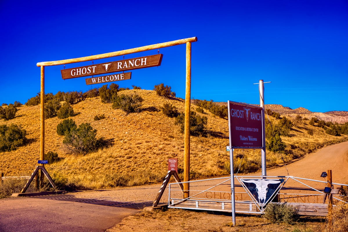
I really love this particular Side Trip. Abiqui was both the home and the primary inspiration to Georgia O'Keeffe, one of the foremost American painters of the 20th Century, and you can really see her work in the surrounding landscape. The road north from there, US-84 past the Ghost Ranch, is strikingly beautiful, with red rock cliffs and interesting geological formations, but it's US-64 east from Tierra Amarilla that's the real thrill. When you reach Brazos Summit, you get the view of the Mystery Cliff in photo #5. That's the Brazos Cliffs, a gigantic block of Precambrian quartzite that's more than 2,000 feet tall, and yes, that's big enough to disrupt the weather flowing in from the plains.
For drivers who love twisty roads, it should be noted that US-64 up and over the summit is considered one of the finest motorcycle routes anywhere. I'm always talking about my, "Oh, Wow!" moments, the views, events, or unique scenes off the side of the road that make my eyes go all-the-way wide. The unobstructed view of Brazos Cliffs provided an "Oh, Wow!" moment. The ride down the other side on US-64? Now that was an "Oh, boy!" moment, and it went on and on for miles, with sweeping curves, expansive views, and (almost) no other traffic. I don't have pictures of that section of road. When I'm having that much fun driving, I totally get into a zone, and I don't even think about stopping for photos!
Rick
 Posting Permissions

 Reply With Quote