To Yellowstone !
As lovely as the La Quinta was we had an interupted nights sleep caused by loud horns going off through the night, that we can only presume was caused by freight trains. [I forgot to enquire at the desk] We had a nice Continental breakfast before packing up and moving on. The breakfast attendant was a very nice lady and most helpful. I enquired as to which side of the Missouri River would offer the best view of some of the dams. She duly obliged by getting a local map and a yellow marker pen to outline possible routes and enthusiastically told us about the area. She recommended we go north of town and then head to Ryan Dam, her favourite spot and a great drive for good measure. Unfortunately this would take longer than the time we had to spare so she told us to stay on the south side to view the 2 dams I had previously planned to, Black Eagle and Rainbow Dam.
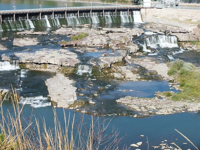
Black Eagle.
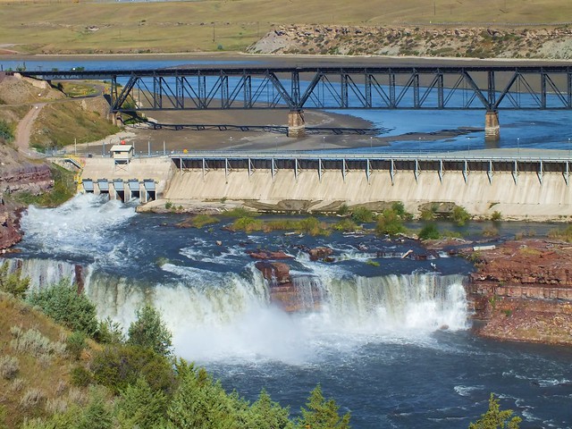
Rainbow.
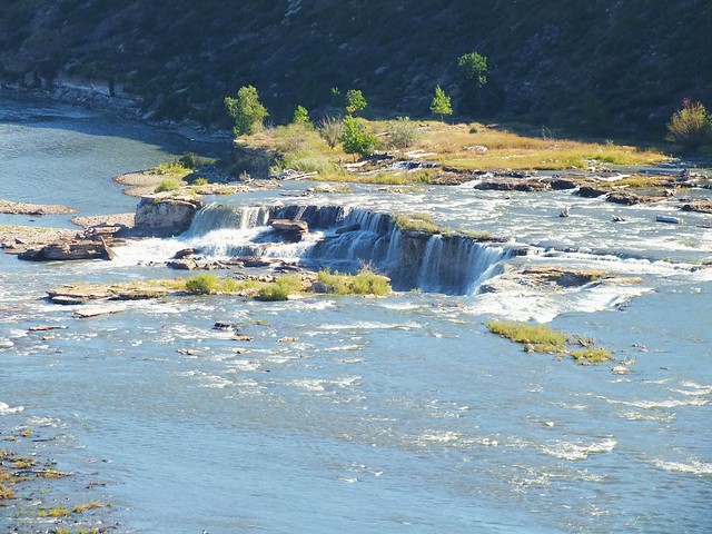
There was a foot/cycle path known as 'South Shore Trails' that continued beyond Rainbow Dam. We walked a short way up the hill and looked at the lovely views of the river and contemplated the challenge that faced the Lewis and Clarke expedition on their journey west.
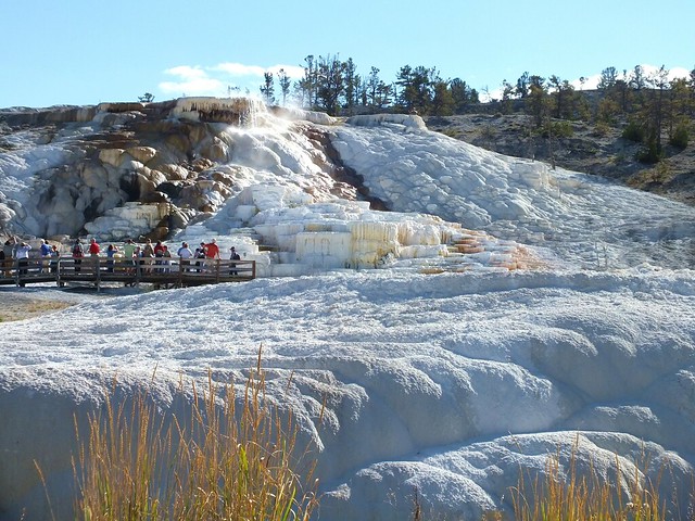
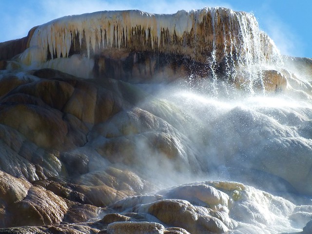
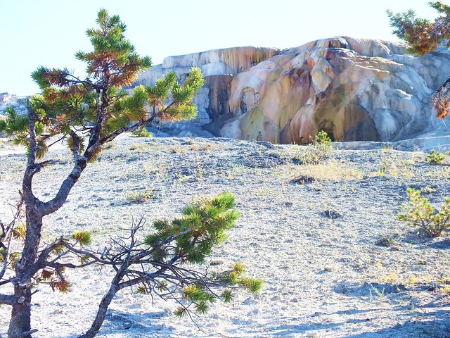
Giant Springs Heritage State Park is located between these two Falls and has a Lewis and Clark National Historic Trail Interpretive centre there.
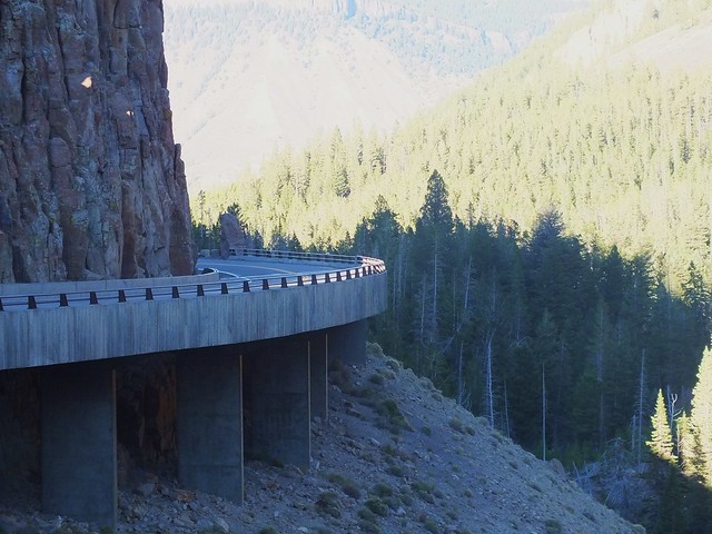
Our stop for the night was West Yellowstone and I had contemplated driving from Great Falls to Red Lodge and then into Yellowstone on the Beartooth Highway. I knew it would be pushing things by the time we had seen the Falls even before we had set out from the hotel, but on leaving the Falls area it was 'plan B'.
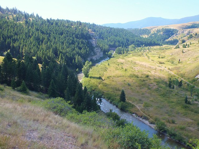
We headed south on US89 through Montana's pretty rolling prarie land that had herds of cattle grazing upon it. We drove across the winding Belt Creek a couple of times before pulling off the road where there was a scenic overlook of Belt Creek making it's way into Sluice Boxes Primative State Park, which is in the Little Belt mountains of Montana.
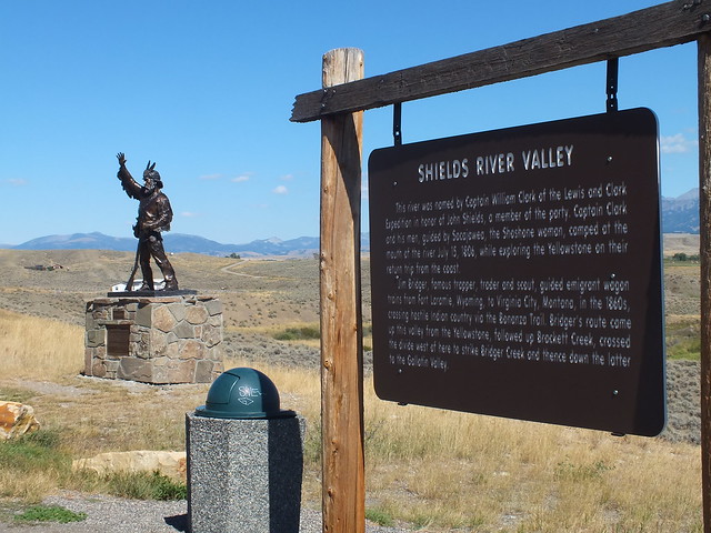
Next we drove through the Lewis and Clark National Forest and the small towns of Monarch and Neirhart, following Belt Creek a lot of the way before going over Kings Hill Pass. We then stopped at White Sulpher Springs for fuel for both us and the car. There was an inviting looking place on the edge of town called the Branding Iron Cafe which provided us with a great lunch and we were on our way again towards Yellowstone. We stopped at an information board and statue named 'Thunder Jack' in the Shields river valley near the small town of Wilsall. The river was named by Clark, in honor of John Shields a member of the Clark and Lewis expedition and flows into Yellowstone River further south. 'Thunder Jack' is a tribute to all the hardened mountain men who came, endured and lived in the mountain valley.
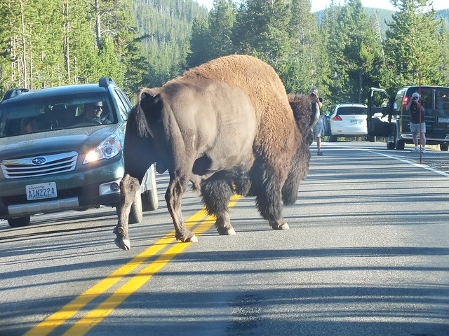
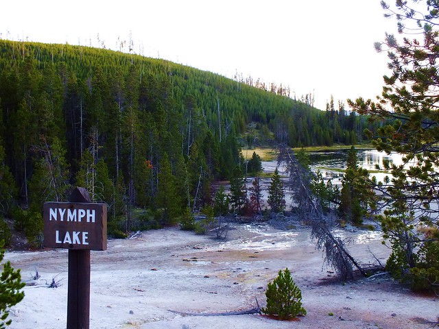
We then drove east with a brief stint on I90/89 before heading south on 89 with views of the Yellowstone river before arriving at Roosevelt Arch and Yellowstone NP.
More to follow.......


 Reply With Quote