Page 1 of 26 1234567891011121314151617181920212223242526 LastLast
Results 1 to 10 of 256
  1. #1
    Join Date
    Mar 2016
    Location
    Phoenix, Arizona
    Posts
    668

    Default Where am I? -- Volume I

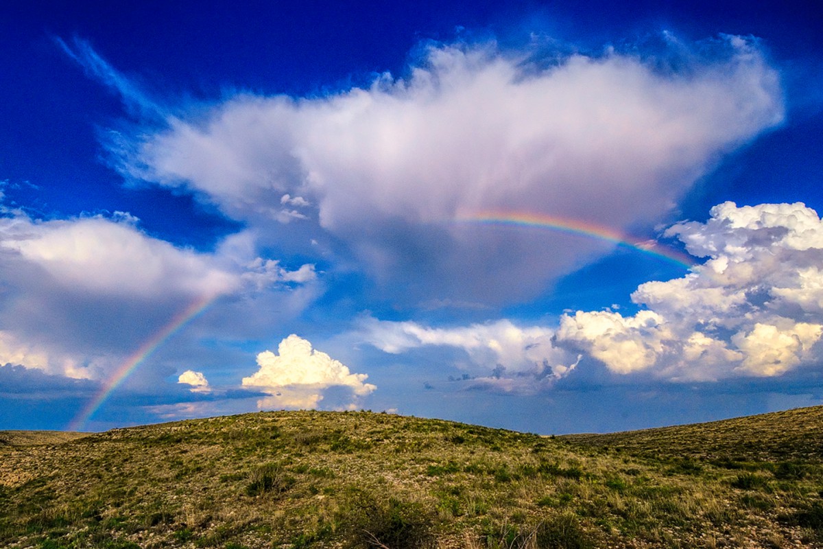
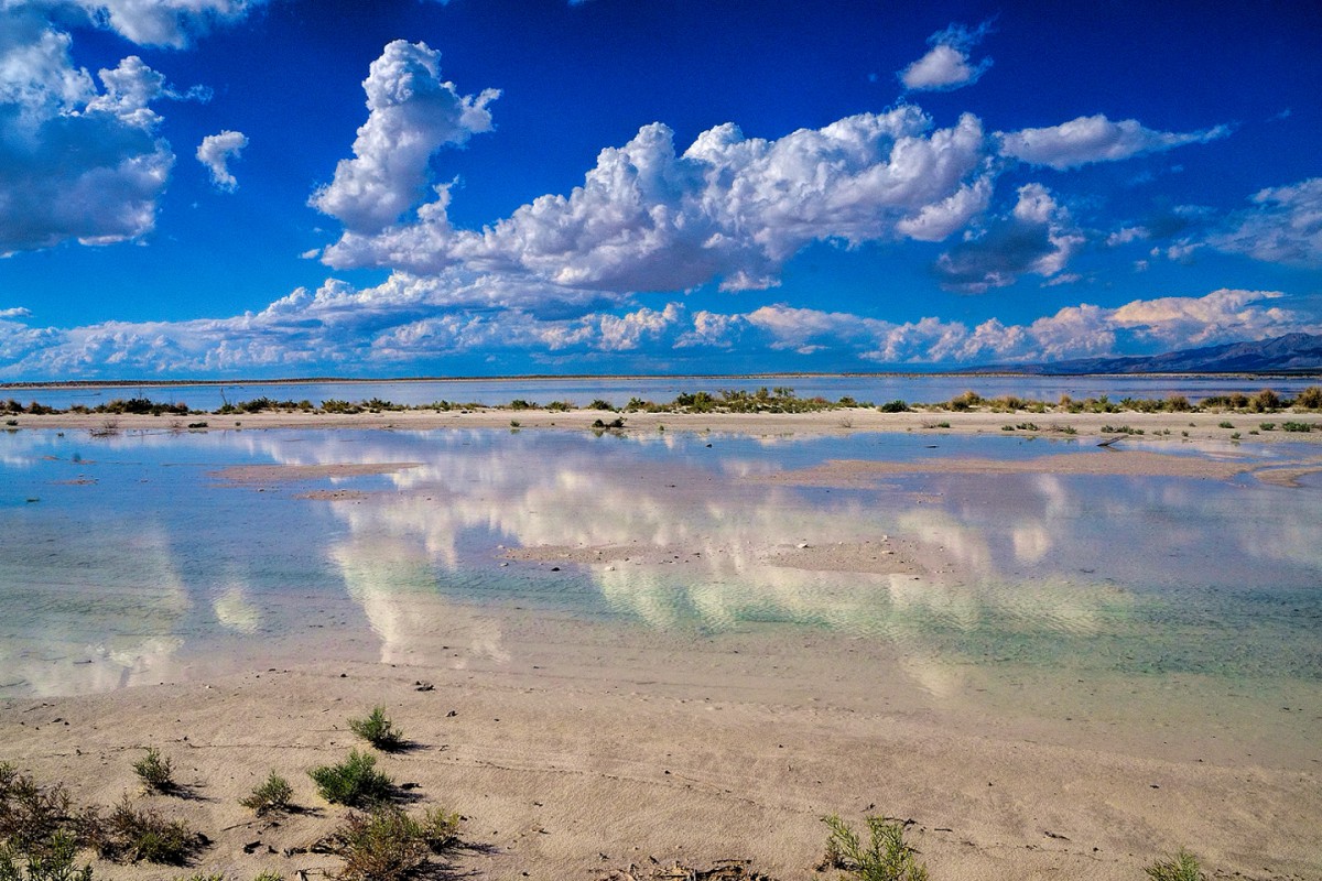
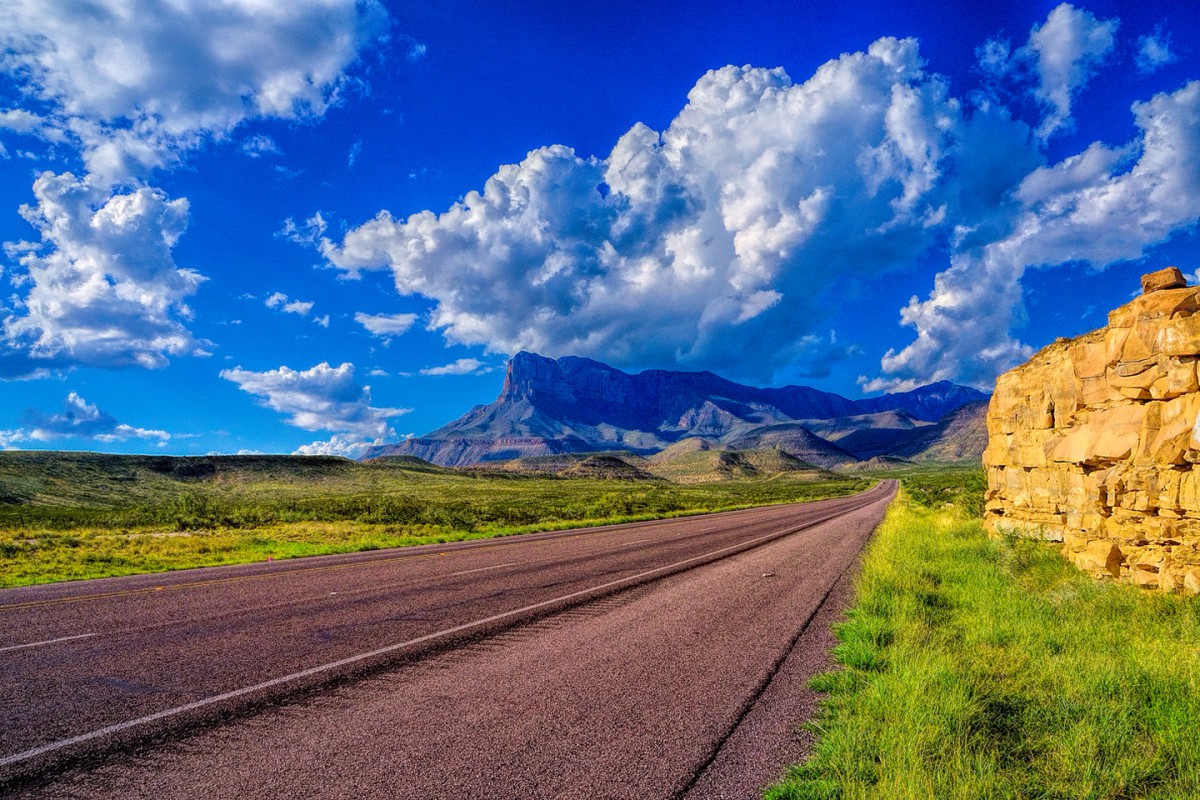
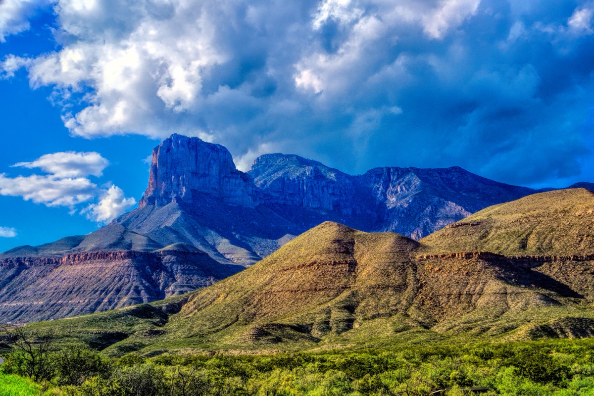
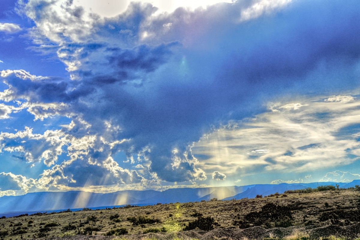
    Every time I stop my car at the side of the road, I take a series of photographs. When I go through the images afterwards, I try to identify the exact location of each series, and while sometimes it's obvious, other times, I have to figure it out. In the interest of a little light entertainment, let's see if anybody out there can figure where I was when I took this first set of pics:


  2. #2
    Join Date
    Nov 2009
    Location
    Brisbane, Queensland, Australia, Australia
    Posts
    232

    Default

    I have no idea at all Rick but i love the pics. :)

    Keithg

  3. Default

    The third one looks like Guadalupe Mountains National Park. It’s been YEARS since I’ve been there so don’t remember the surrounding area that well.

    Love the rainbow!

  4. #4
    Join Date
    Jul 2007
    Location
    South of England.
    Posts
    11,967

    Default

    The rock formation is surely Guadalupe NP and if they are all taken in the same area(?) I would say you went out on the Salt Dunes from Dell city following heavy rains in the first picture ?

    Dave.

  5. #5

    Default

    Glimpses reminded me of Death Valley. The initial photo with the lagoon reminded me of Baja California.

  6. #6
    Join Date
    Mar 2016
    Location
    Phoenix, Arizona
    Posts
    668

    Default We have a winner!

    You guys are good! It was indeed Guadalupe Mountains National Park, so UtahTea, you're a winner, and Dave, you astound me! You not only nailed the mountain, you even picked up the mirage (for beaucoup bonus points!) Picture #1 was taken exactly as you surmised, along the Salt Dunes outside of Dell City, Texas right after a heavy rain, the clouds reflected by a sheen of rainwater on the salt pan that was disappearing before our eyes. We were on US 62/180 traveling east from El Paso, passing through Guadalupe Mountain NP, en route to Carlsbad Caverns. The five photos (including the rainbow) were all taken along a relatively short, but exceptionally beautiful stretch of US 62. Keith? You didn't win anything, but you still get points for enthusiasm! If anyone is keeping track: Guadalupe Mountain National Park, and this lovely highway, mark the beginning of Scenic Side Trip #1

    Here's another set: four photos taken along the side of the road, a 50 mile stretch of a particular US Highway, early one misty December morning. The challenge (should you choose to accept it ;-): Who can identify the highway; the large mountain; the town where the bakery (and not much else) is located?


  7. #7
    Join Date
    Mar 2016
    Location
    Phoenix, Arizona
    Posts
    668

    Default A clue...

    No takers? I reckon that set of photos was a bit too obscure for an easy ID, so I'll throw in a clue that will narrow down the highway choices considerably. Note that the picture was taken at 7:38 AM on December 14th, 2014, and it would be the 2nd photo in this sequence. (The time of day is part of the clue):


    Rick

  8. #8
    Join Date
    May 2011
    Location
    Central Missouri
    Posts
    5,857

    Default

    I'm probably way off base, but I'm going to guess Chiracahua Peak, you're somewhere along US-191, and that bakery is somewhere along there. Southern Arizona, maybe.


    Donna

  9. #9
    Join Date
    Jul 2007
    Location
    South of England.
    Posts
    11,967

    Default

    Certainly needed that extra clue ! The bakery is in the town of Duncan AZ which is along US70. Mountain? Not sure but could be Mt Graham?

    Dave.
    Last edited by Southwest Dave; 04-27-2020 at 04:38 PM. Reason: Typo

  10. #10
    Join Date
    Mar 2016
    Location
    Phoenix, Arizona
    Posts
    668

    Default Another one

    Donna:

    It's southern Arizona, but it's not US-191, or Chiricahua Peak.

    Dave:

    You've aced it once again! That set of pictures was a part of Scenic Side Trip 4, which follows US 70 from Lordsburg, NM to Globe, AZ through the tiny town of Duncan. The peak is 10,700 foot Mount Graham, one of southern Arizona's "sky islands," freshly dusted with snow on that particular morning, and the crop you see growing in the other picture is cotton, which is still a mainstay of the economy in that part of the state.

    Now let's try another one:


    See if you can identify the highway in the first two photos. Hint: first you'll have to identify the town in the 4th photo!

Similar Threads

  1. Where Am I -- Volume III
    By Rick Quinn in forum RoadTrip Field Reports
    Replies: 83
    Last Post: 07-16-2020, 09:22 PM
  2. Where Am I -- Volume II
    By Rick Quinn in forum RoadTrip Field Reports
    Replies: 118
    Last Post: 06-23-2020, 05:07 PM
  3. Toronto to NYC - Where to stop / Where to stay ?
    By Wilder in forum Fall & Winter RoadTrips
    Replies: 1
    Last Post: 10-16-2007, 06:19 PM
  4. Where oh where to cleanse myself?
    By imported_Chuck in forum Gear-Up!
    Replies: 5
    Last Post: 10-29-2002, 05:09 AM

Posting Permissions

  • You may not post new threads
  • You may not post replies
  • You may not post attachments
  • You may not edit your posts
  •