I probably hold the record for the most time spent posting a single Field Report here on RTA, but that was never intentional. For those of you who have followed this thread from the beginning, I applaud your patience. For those who may have joined more recently, I encourage you to go back to the beginning and at least skim it, because there's some good stuff there. In my feeble defense, most of the delays were health related: I've spent more time in hospitals in the last six months than in the previous 75 years. Trust me, I would have preferred to be on a road trip!
Are you ready for the last installment of this opus? Buckle up, and heeere we go!
DAY 26:
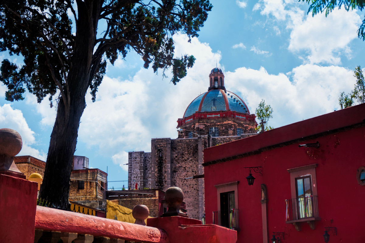
From: SAN MIGUEL DE ALLENDE
To: MONCLOVA
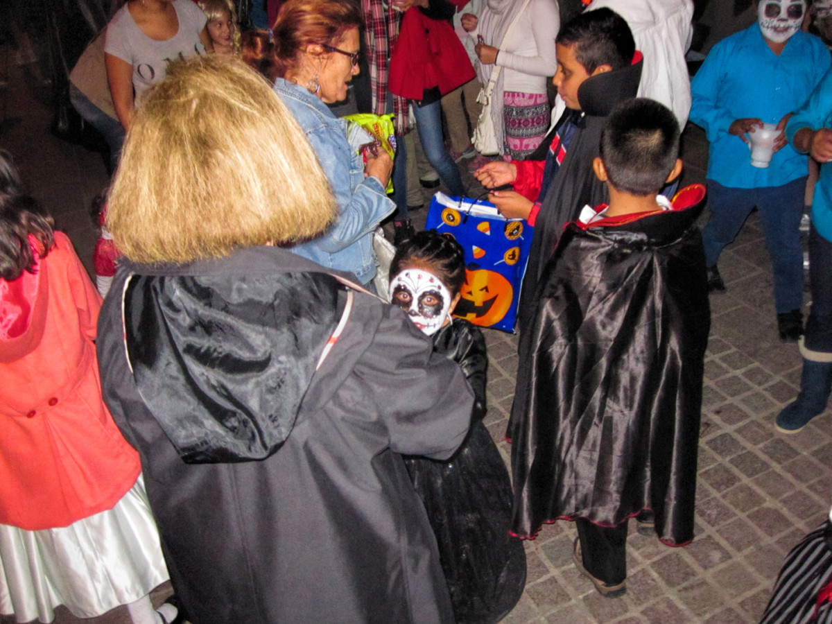
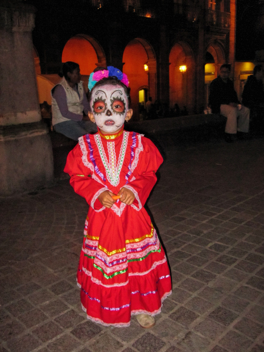
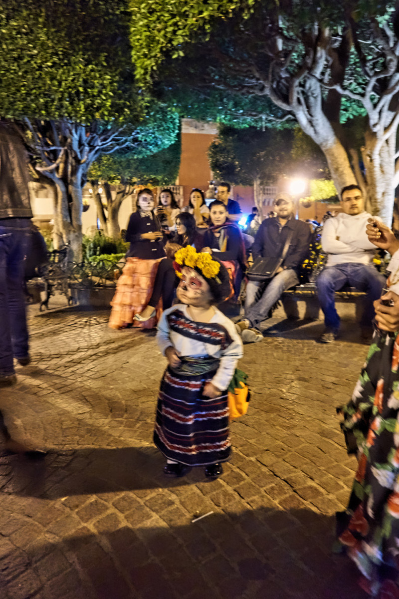
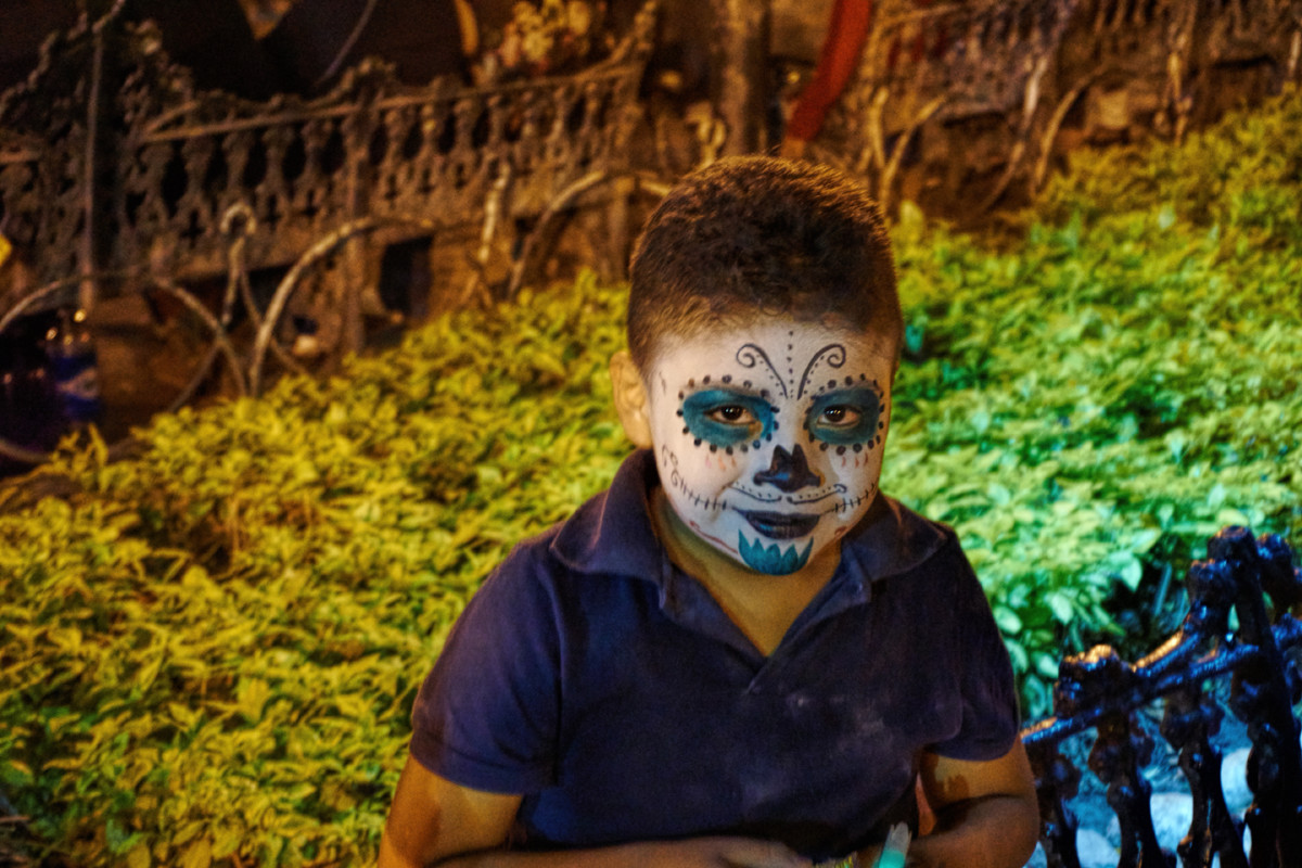
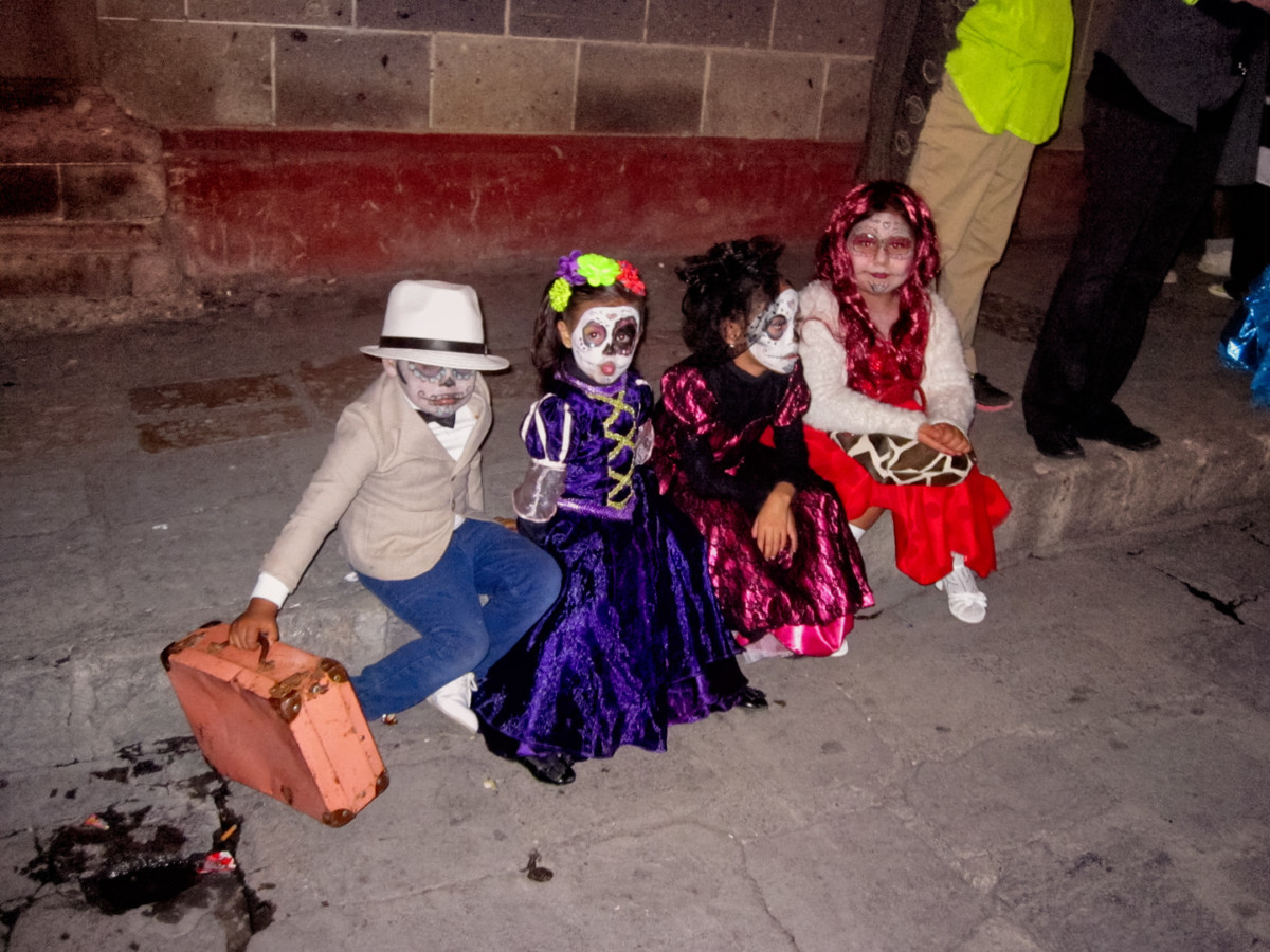
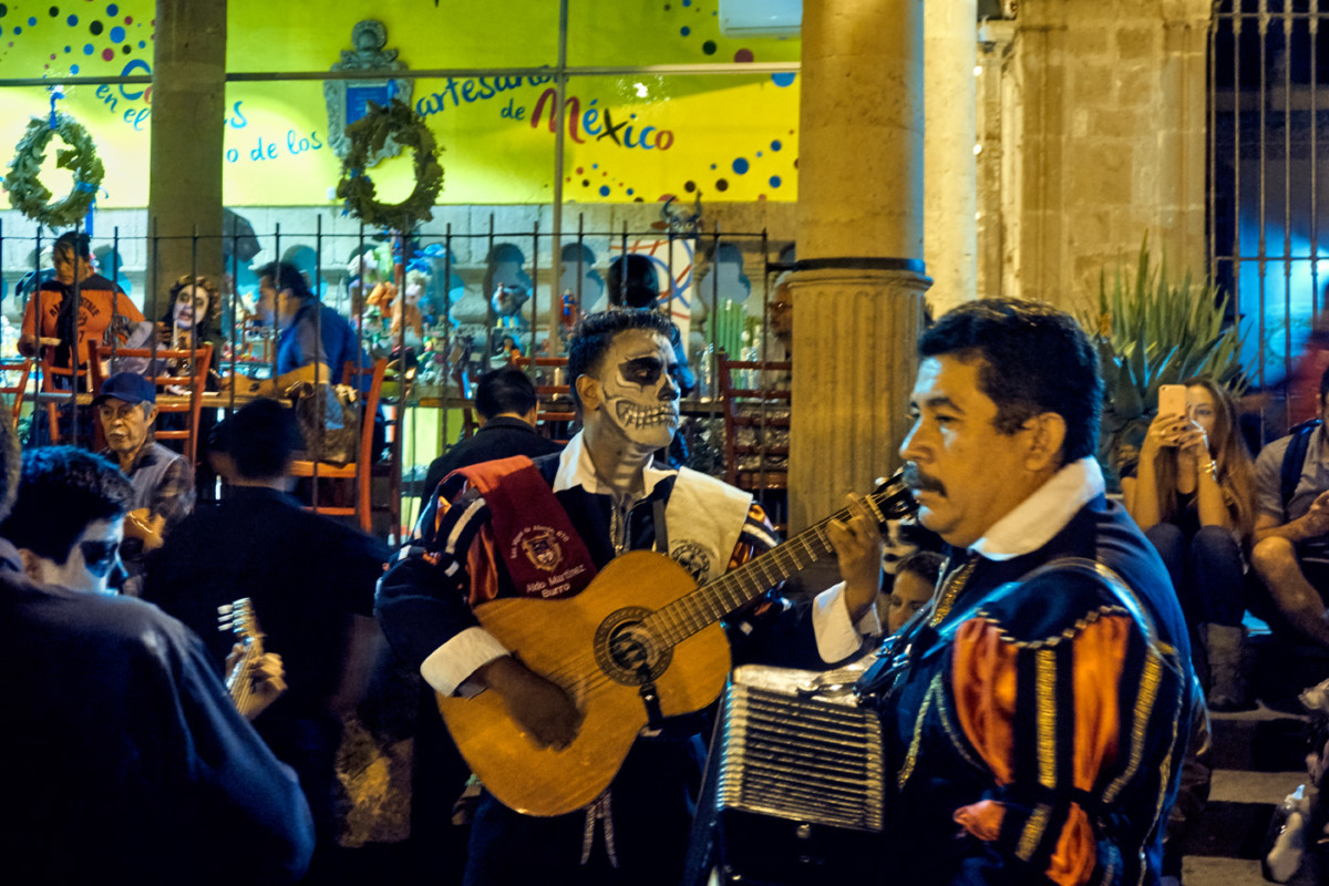
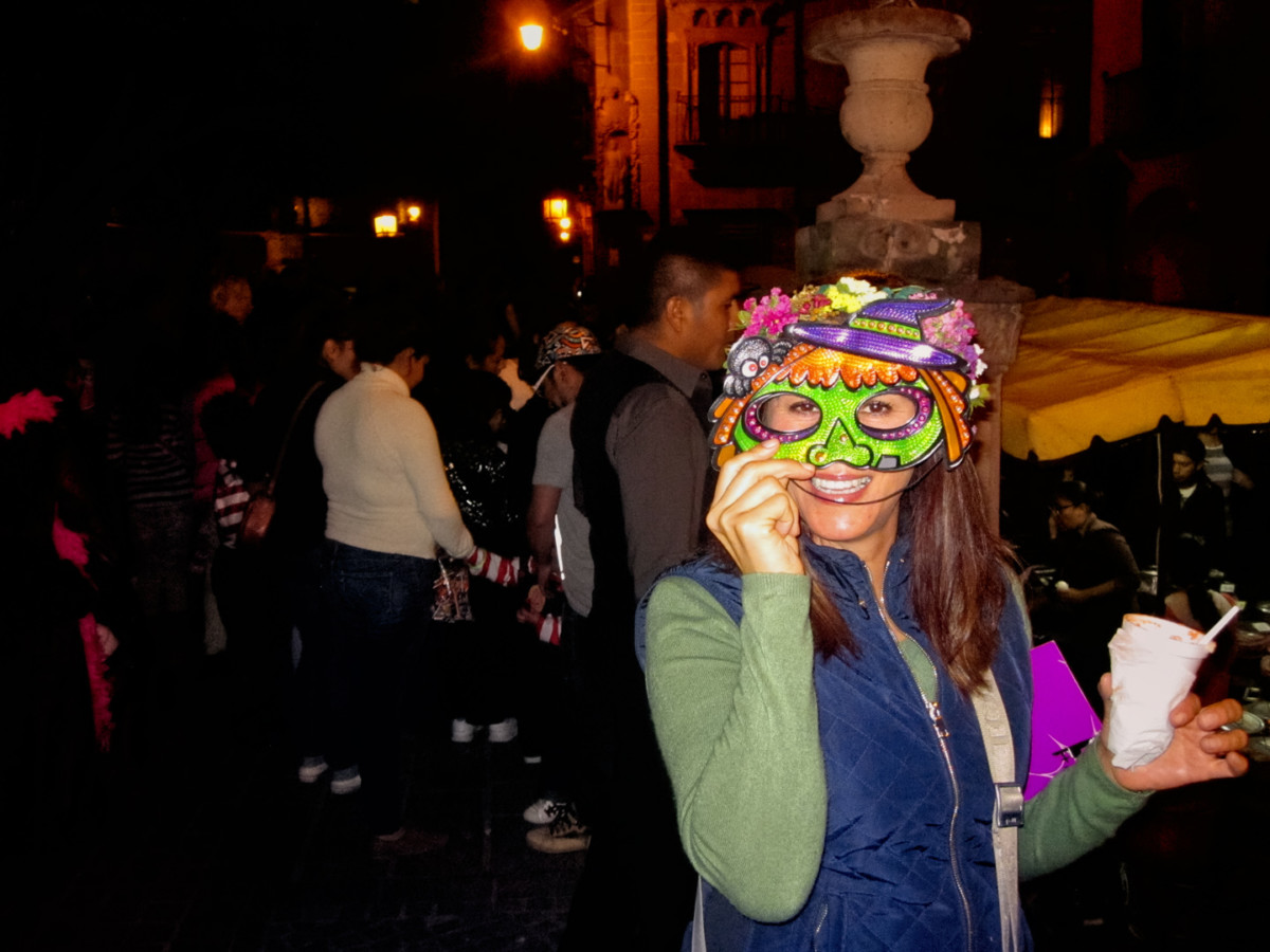
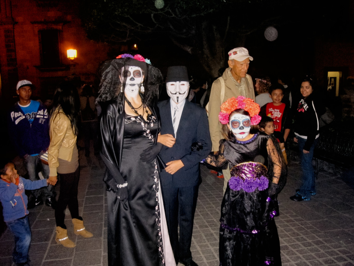
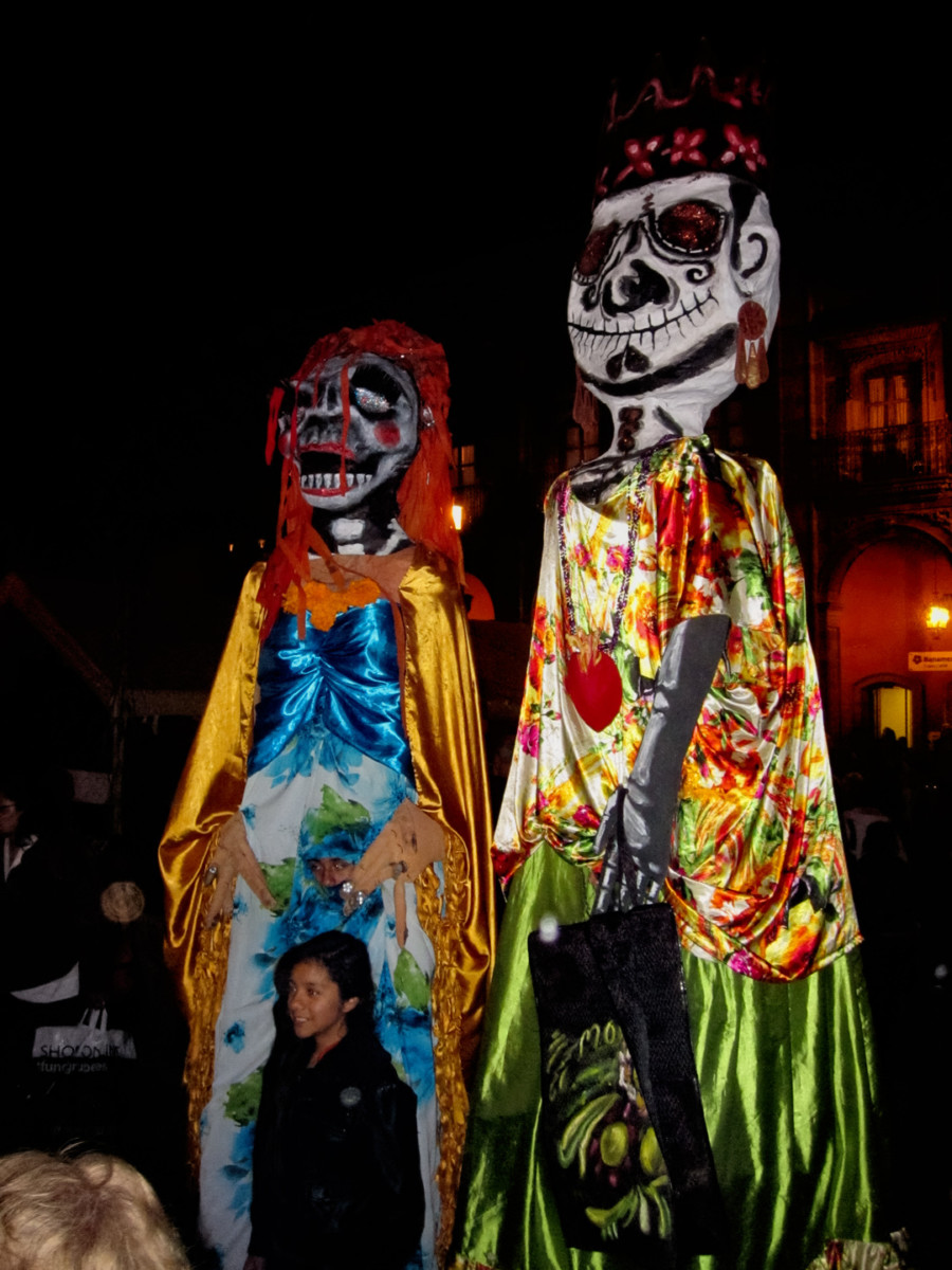
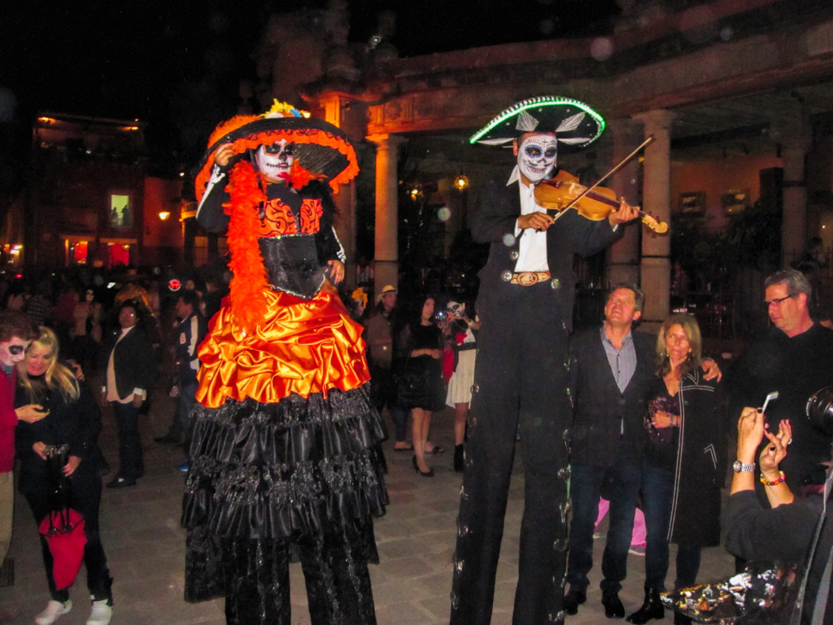
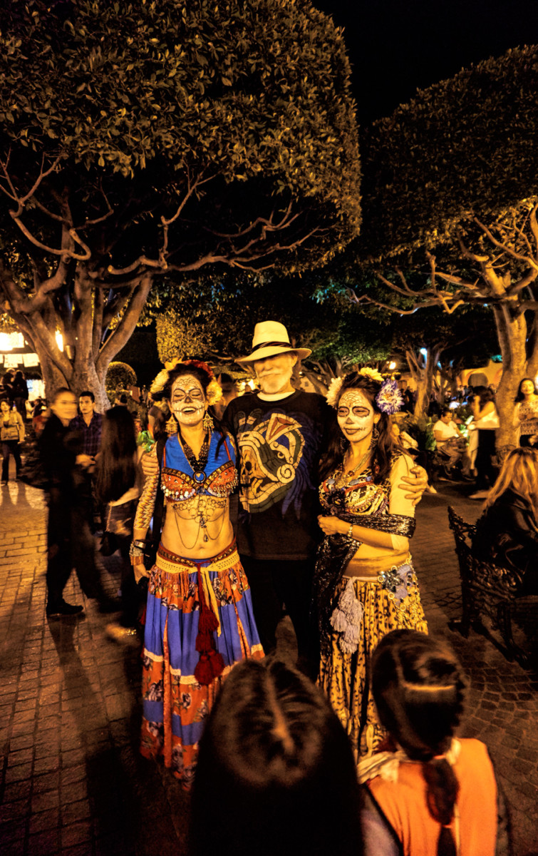
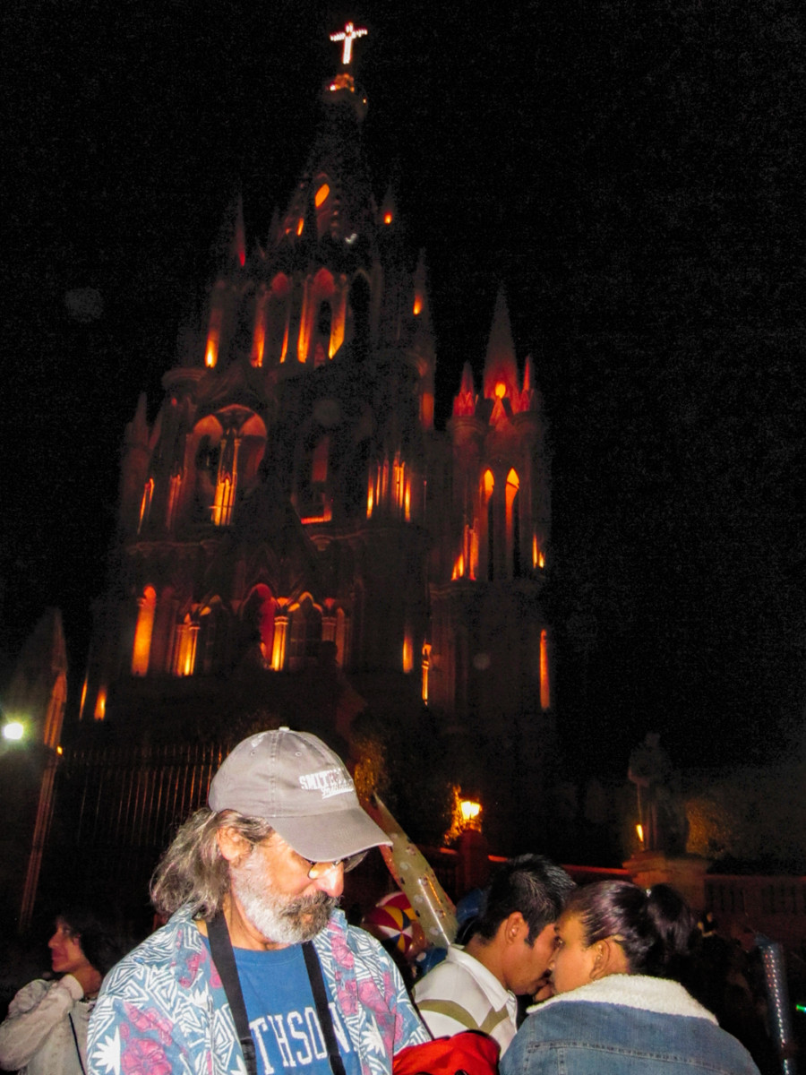
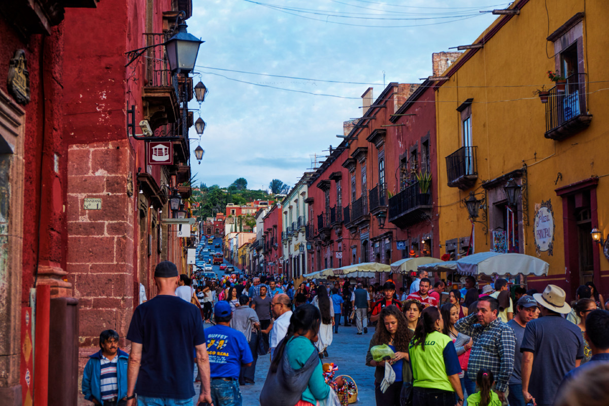
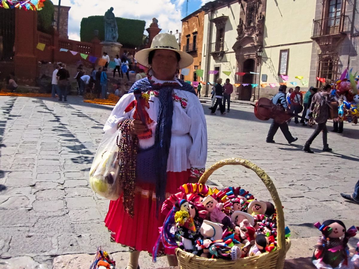
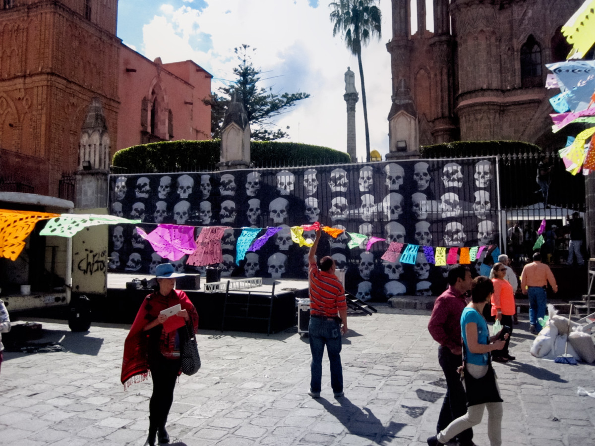
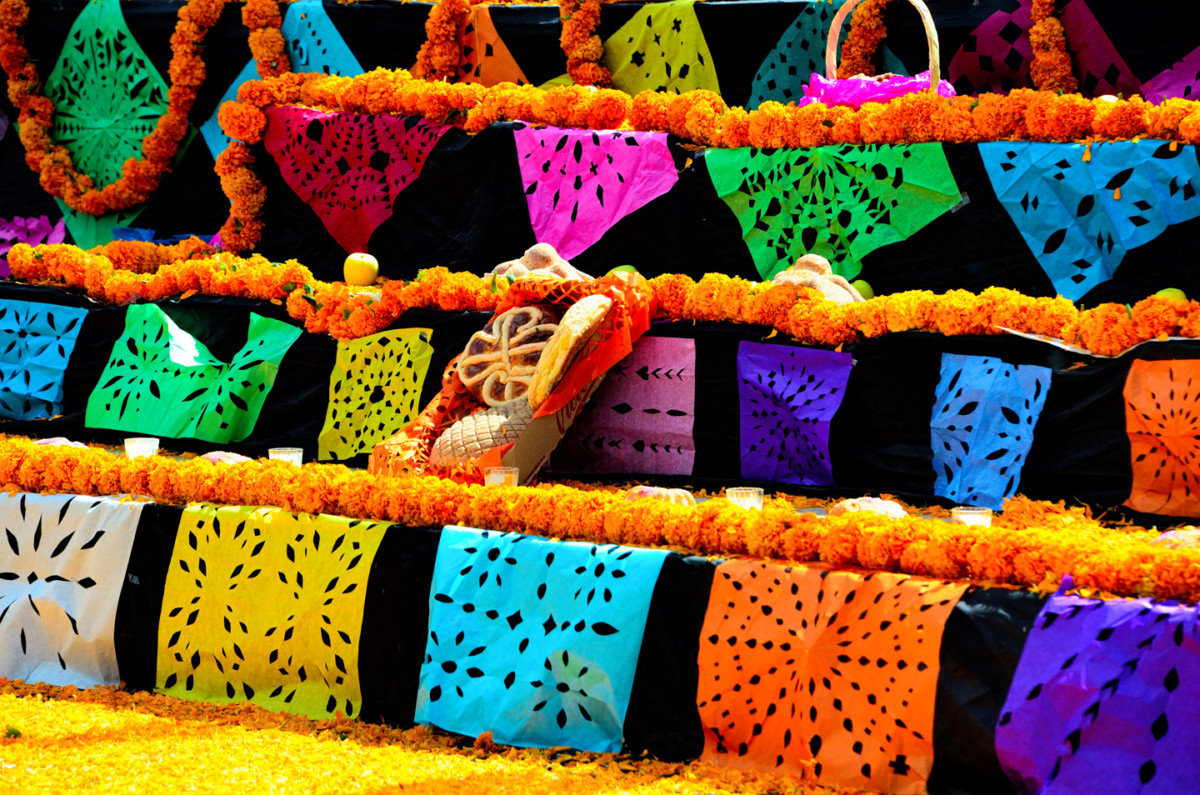
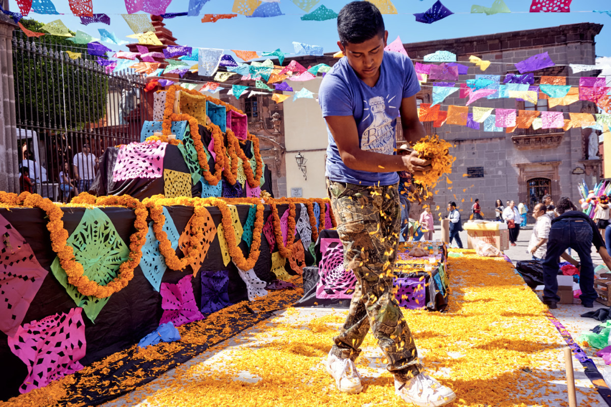
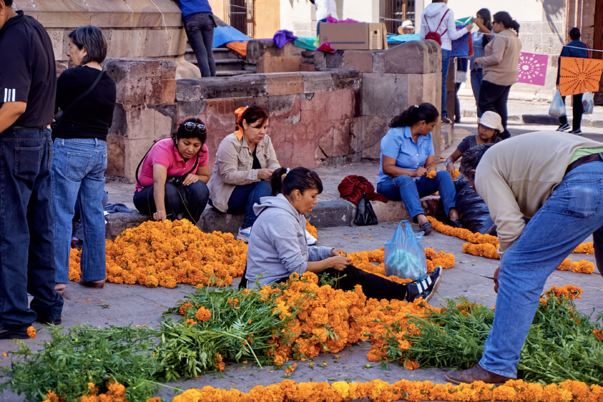
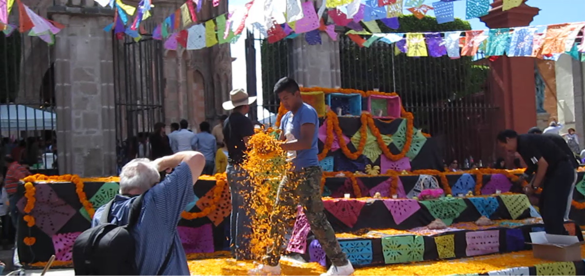
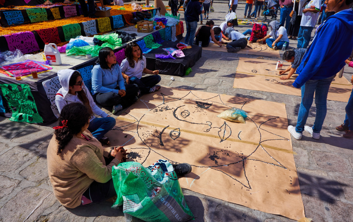
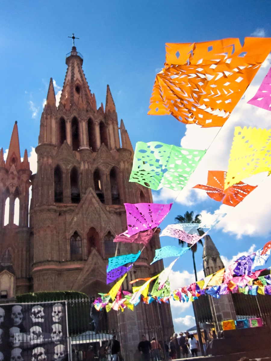
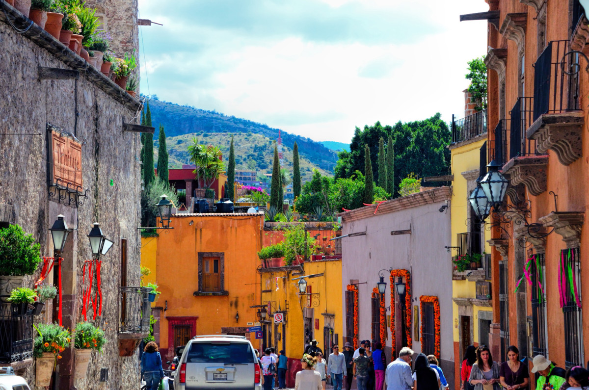
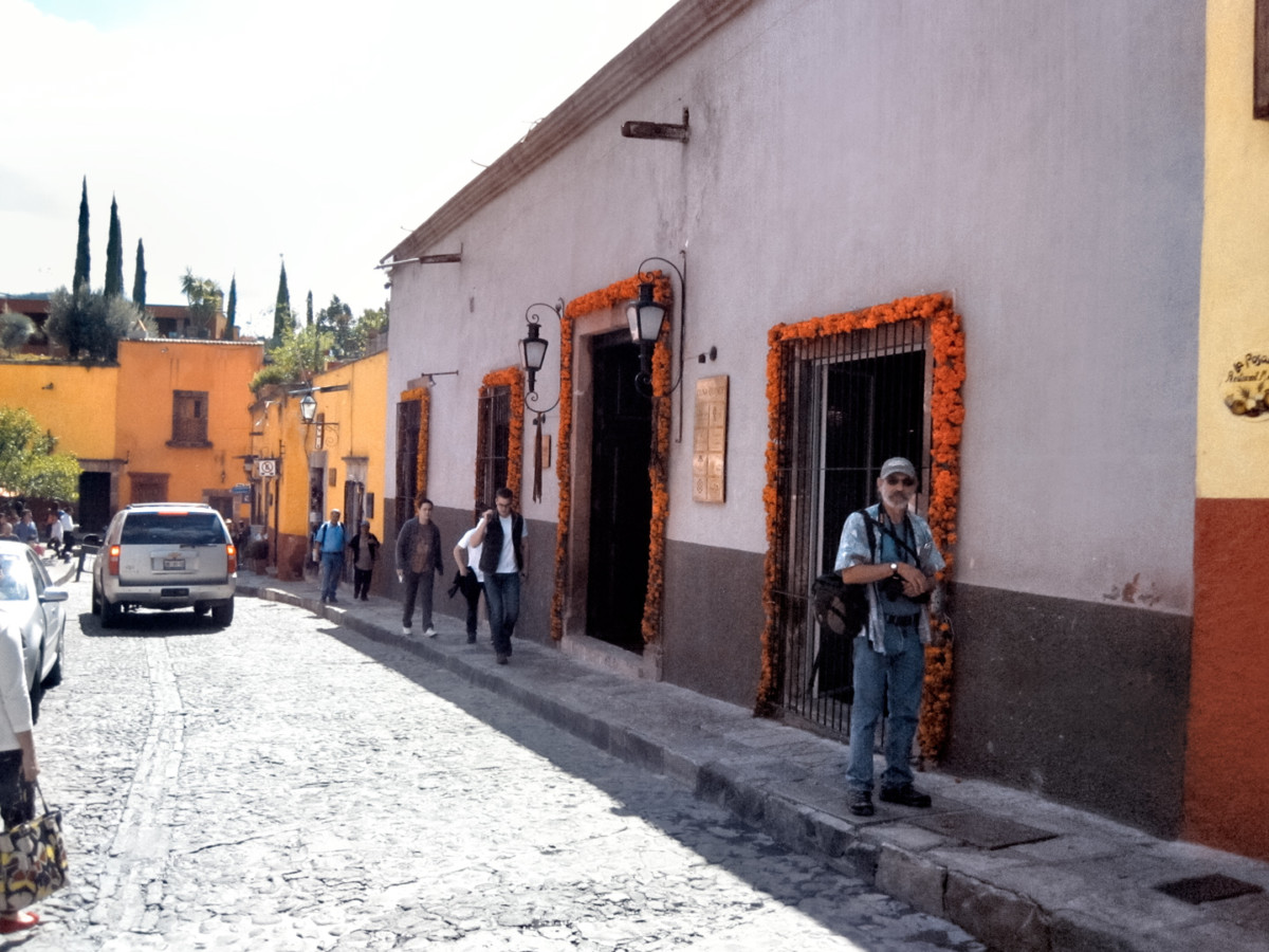
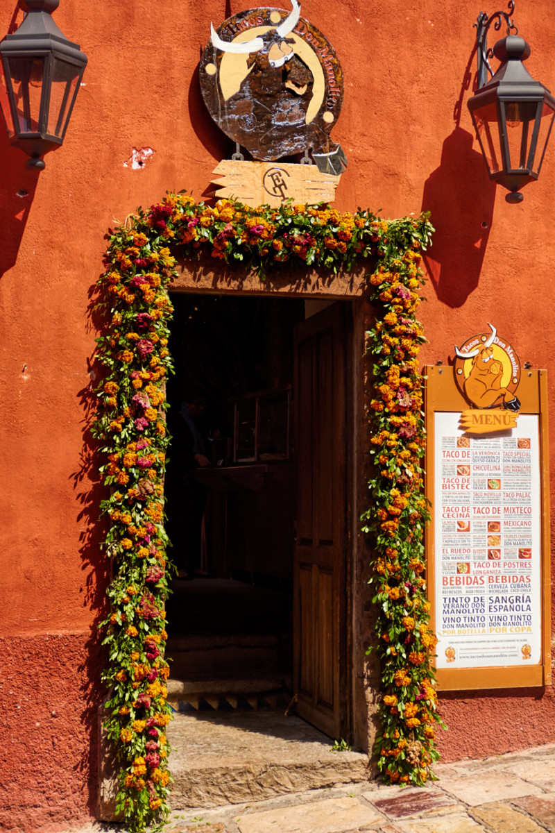
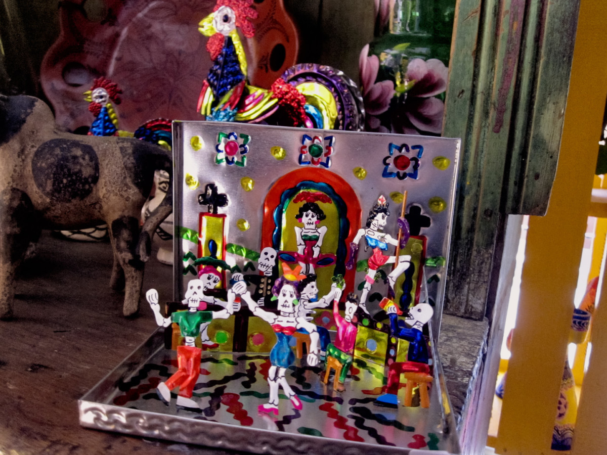
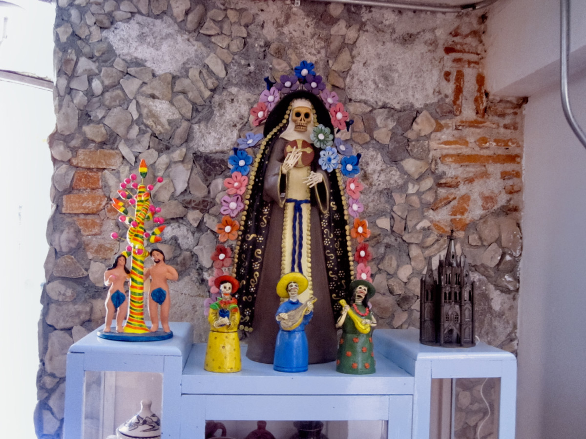
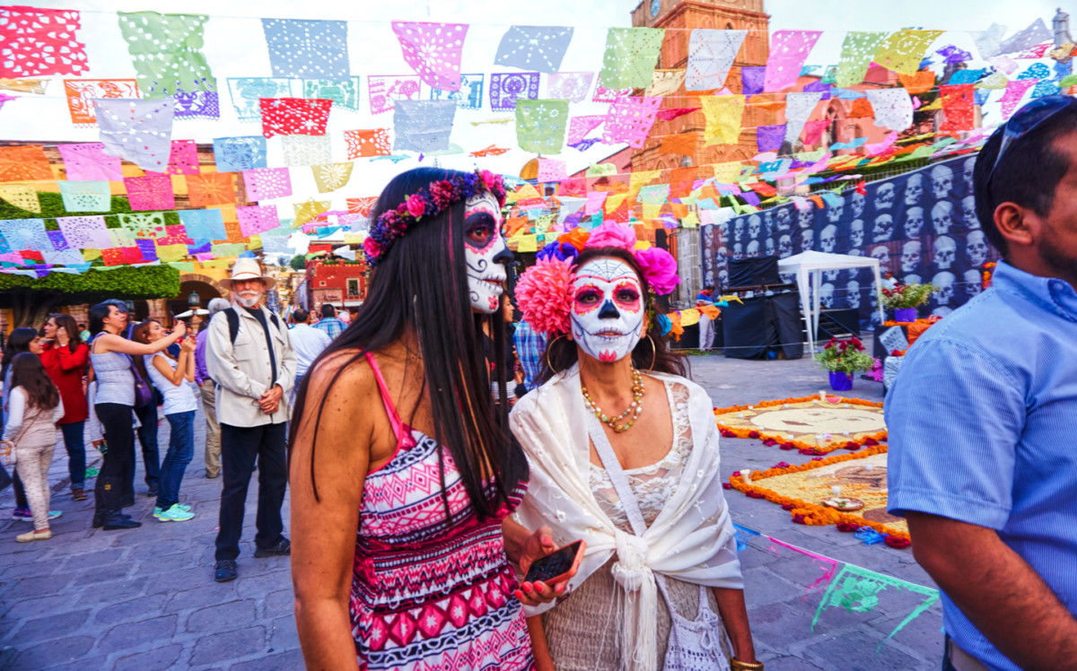
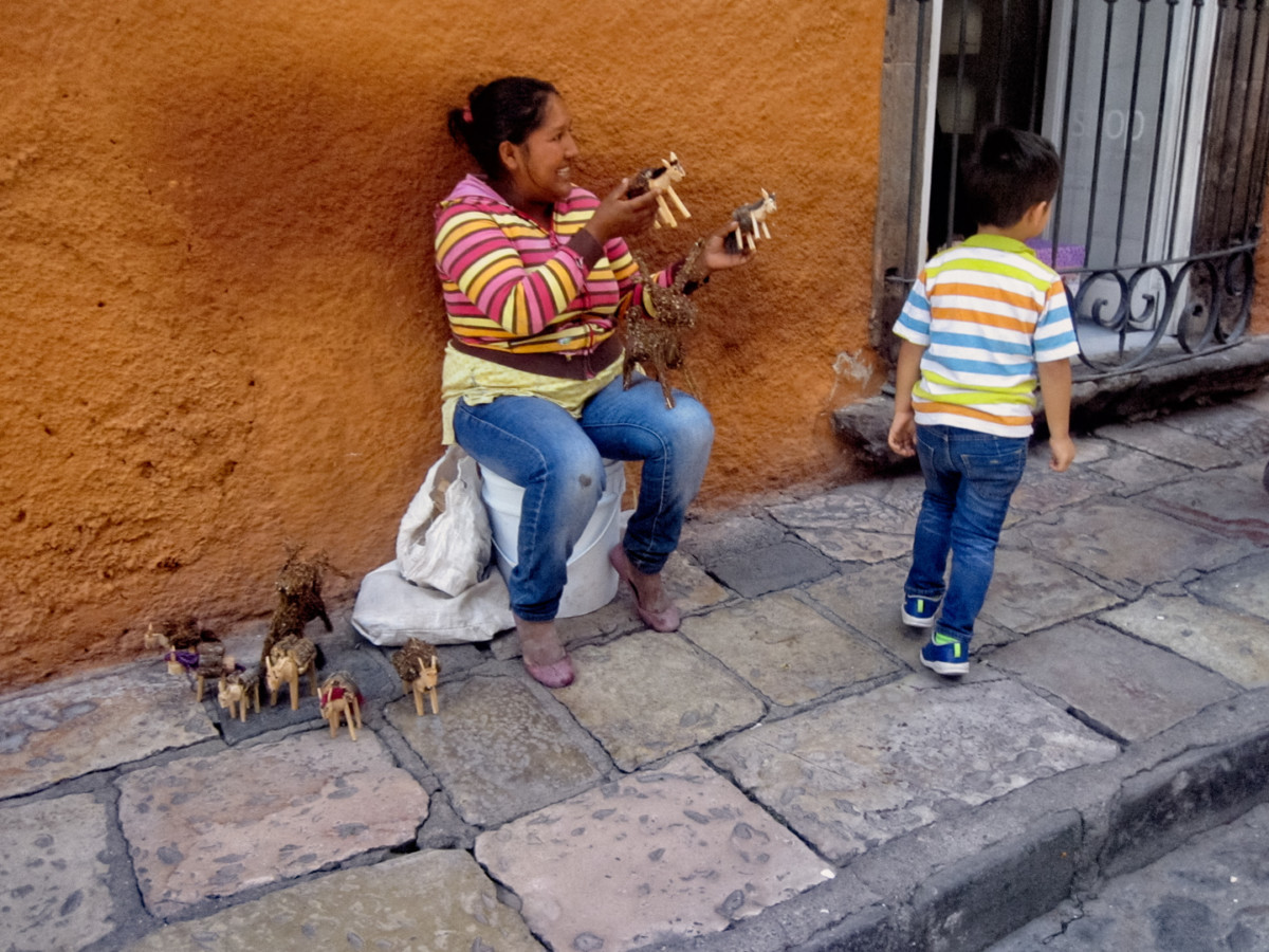
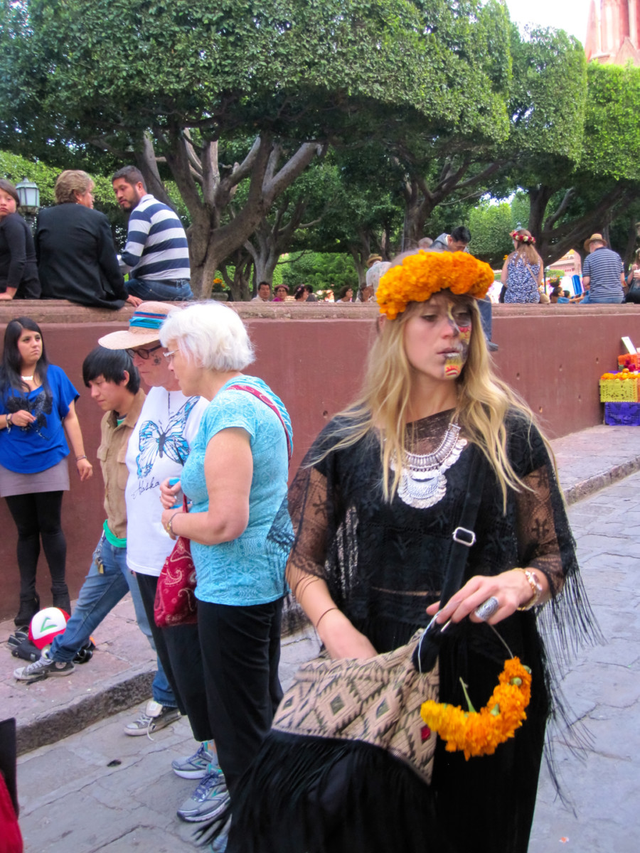
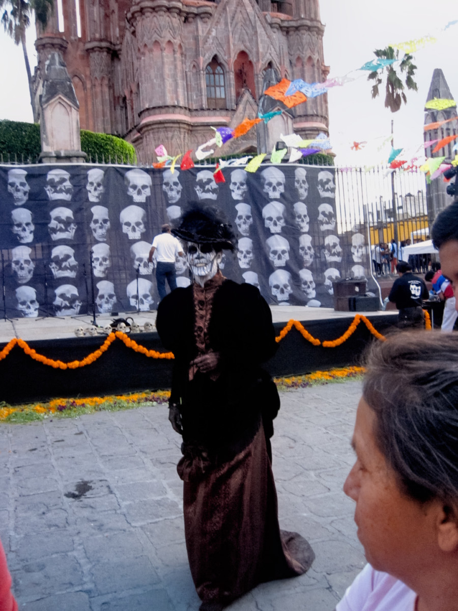
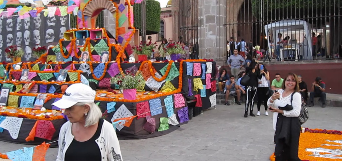
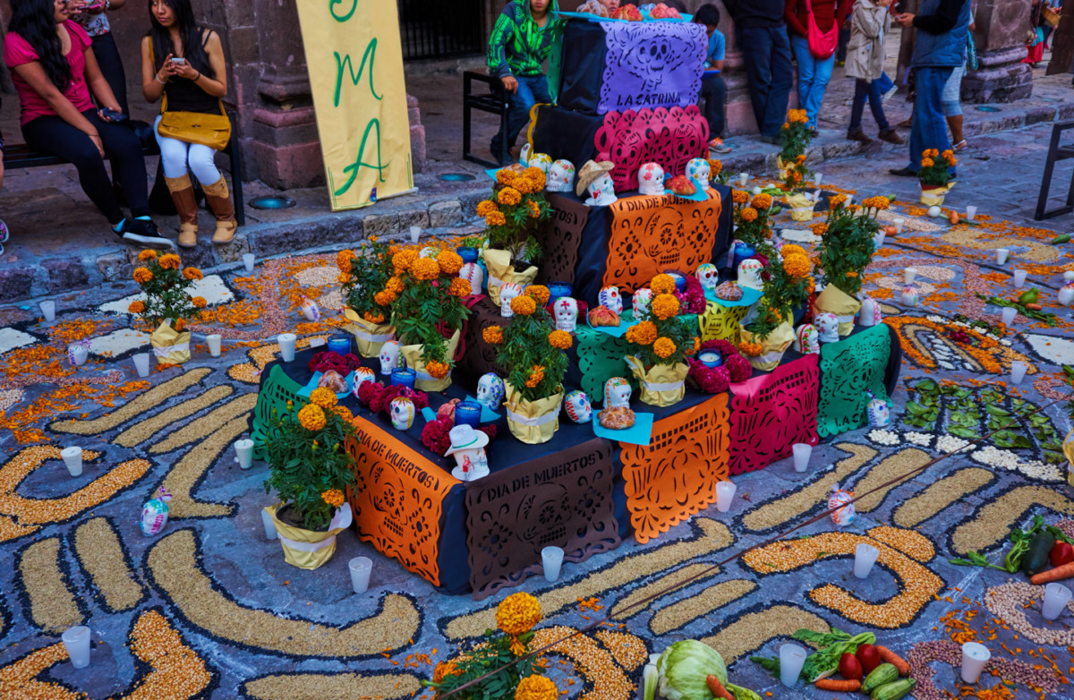
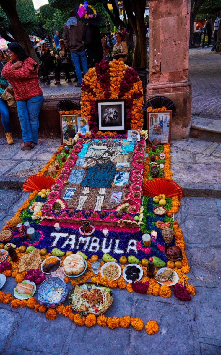
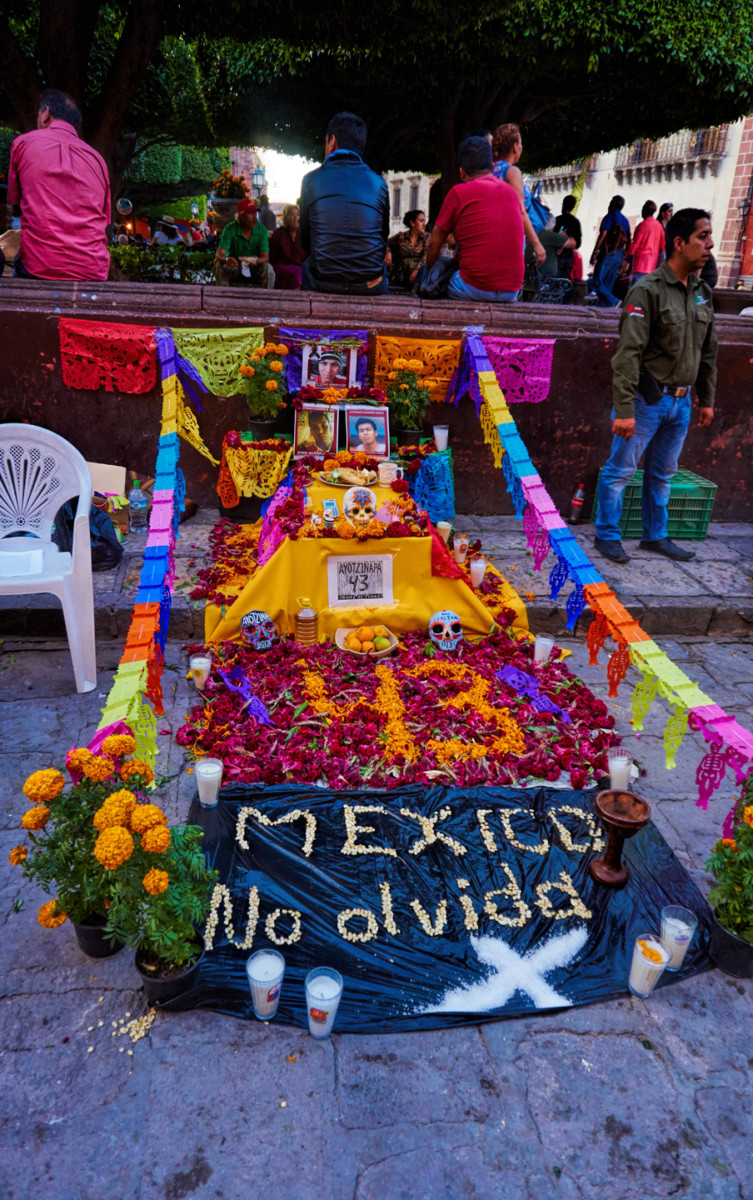
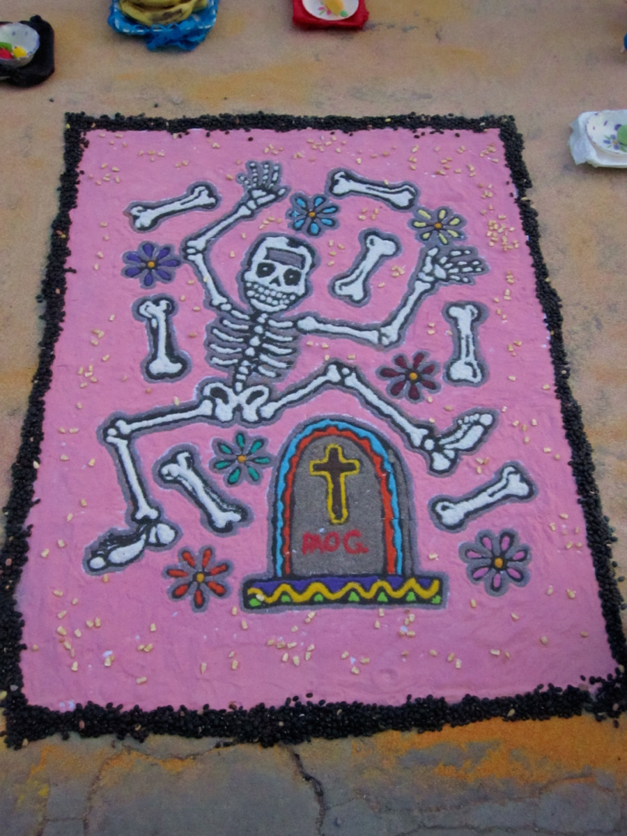
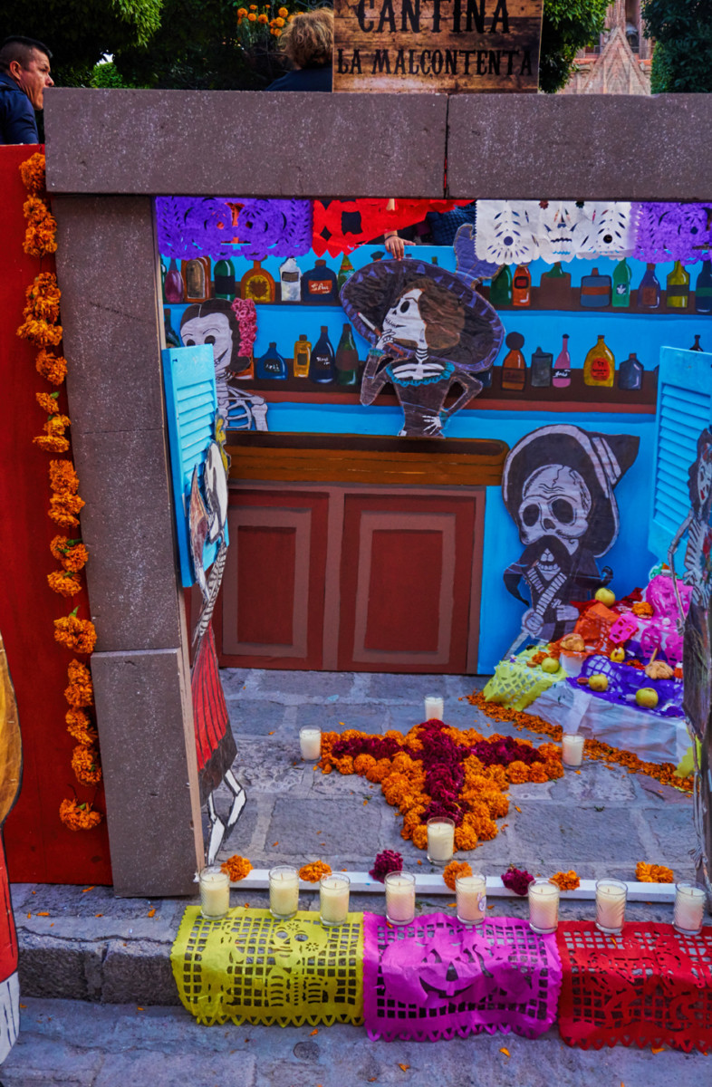
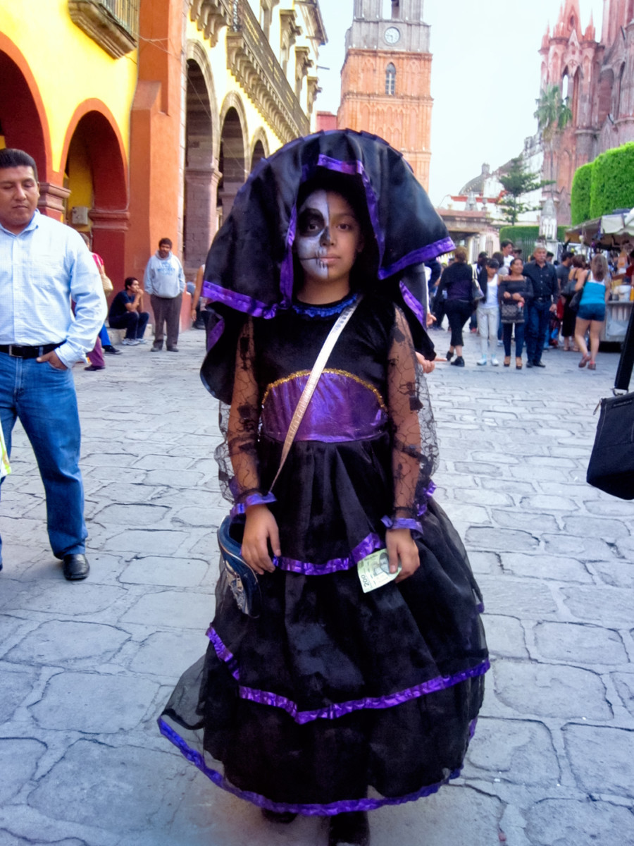
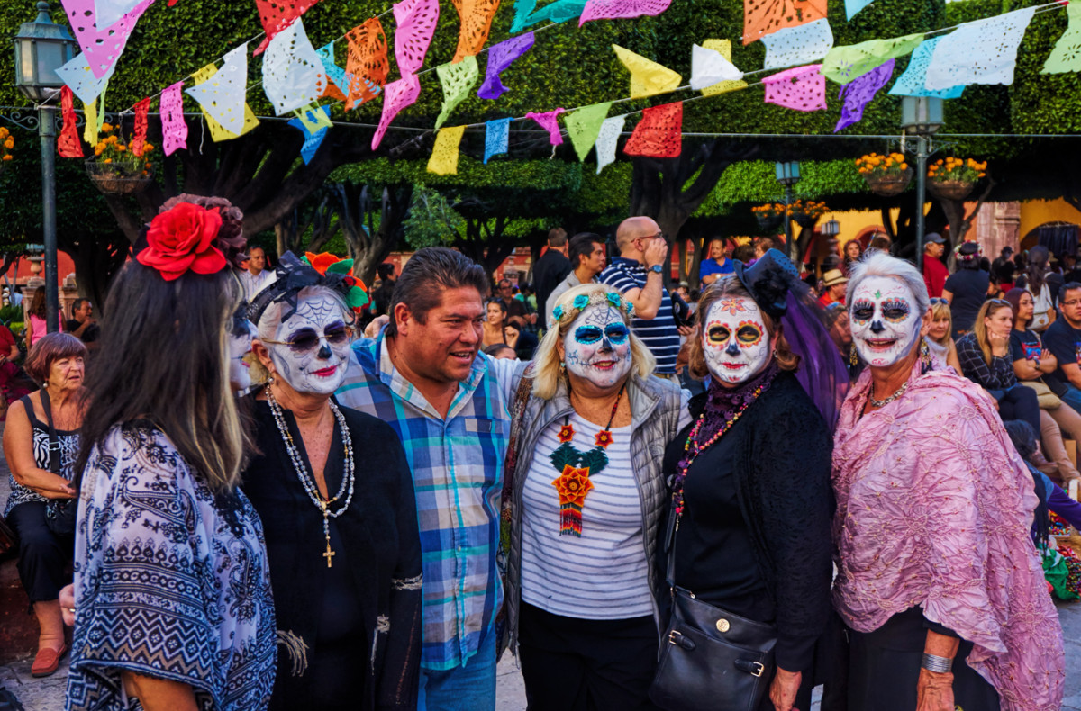
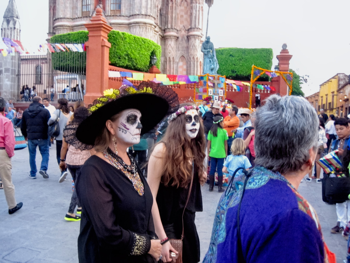
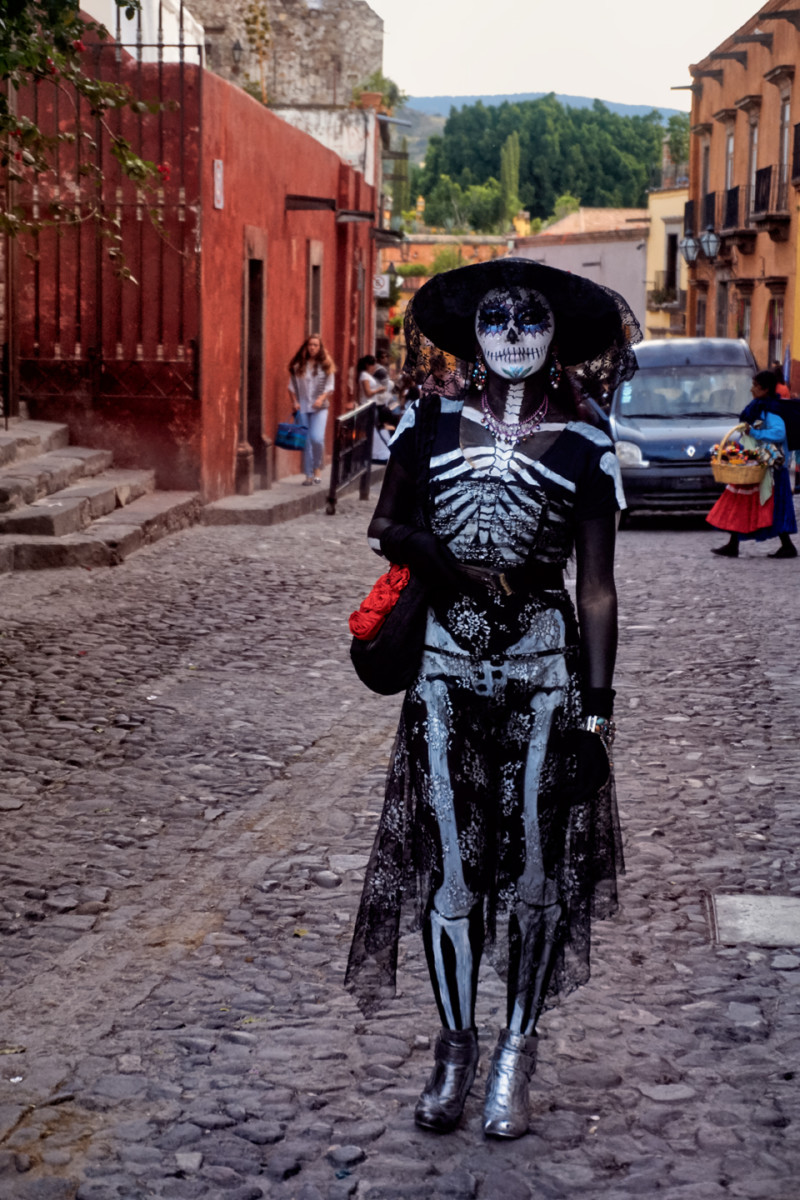
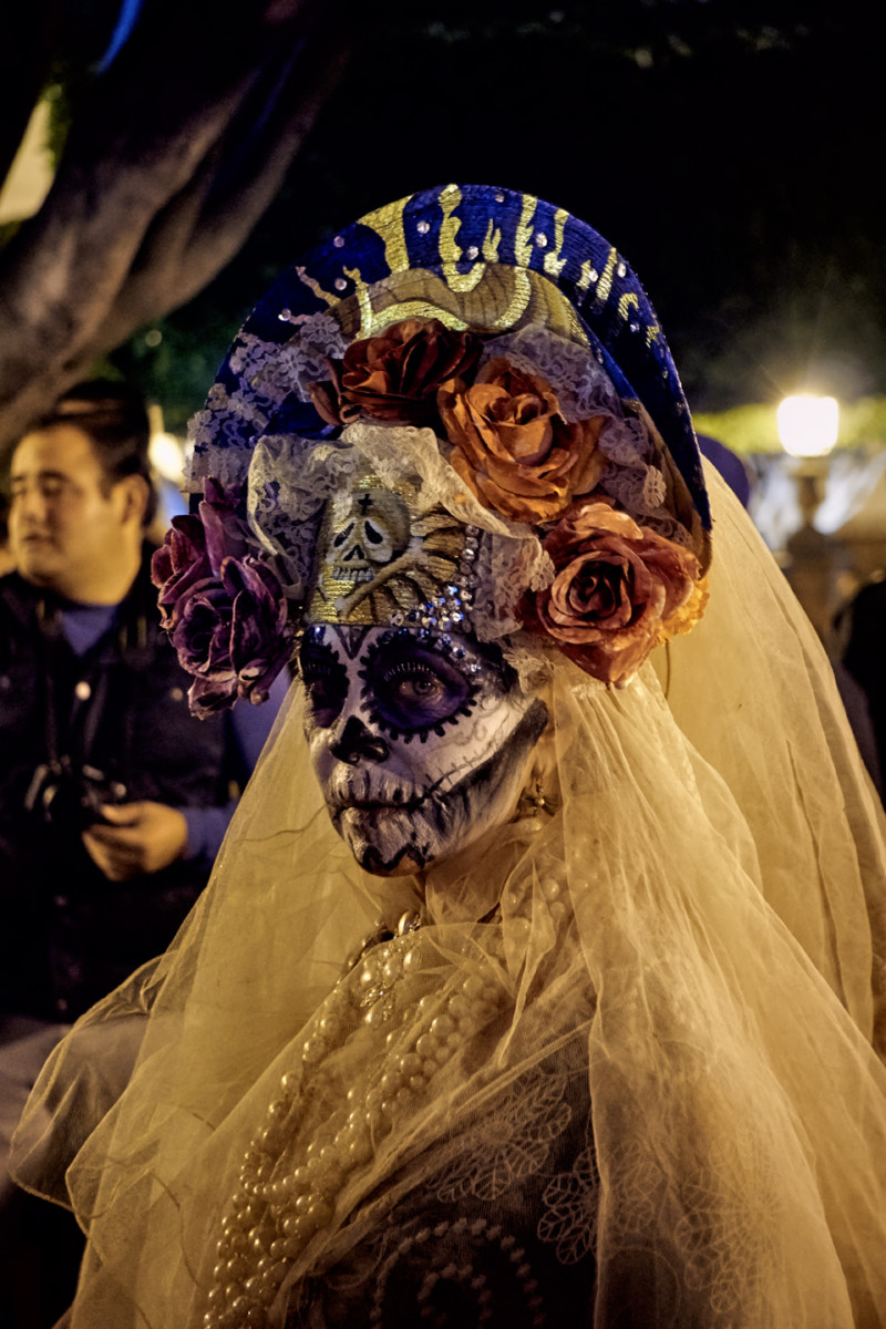
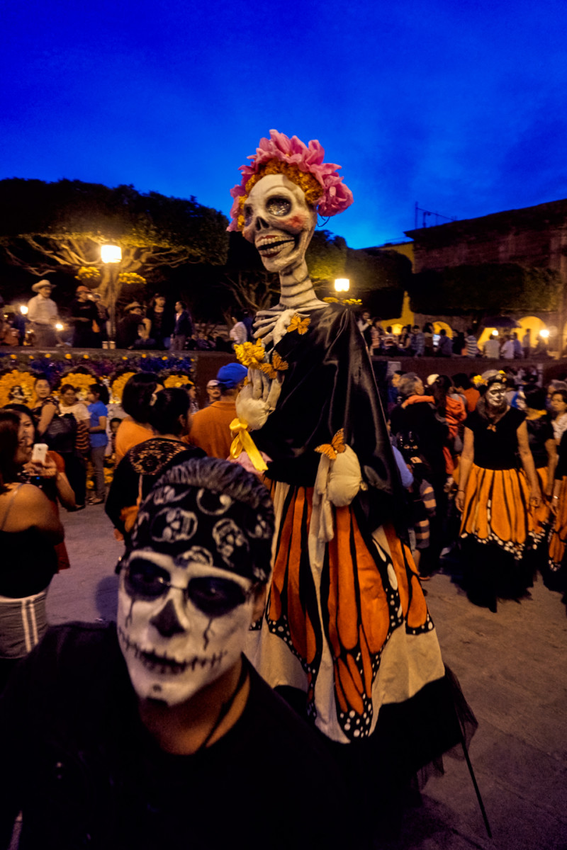
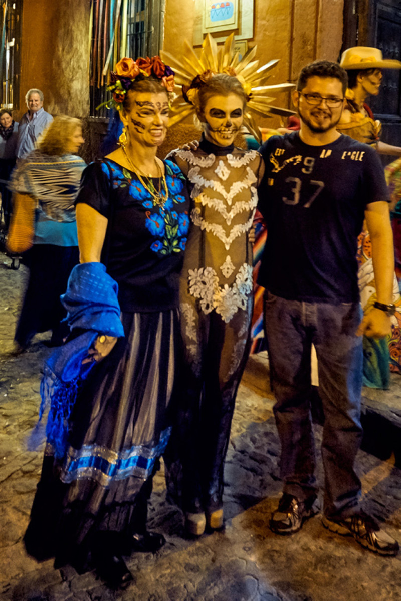
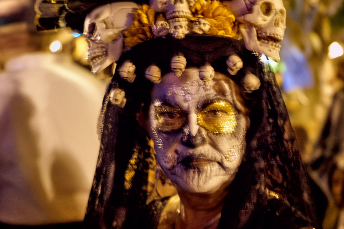
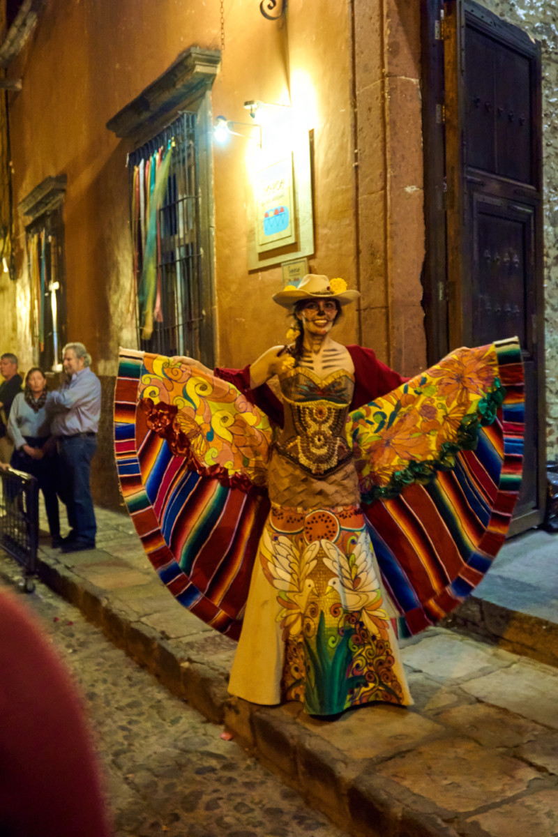
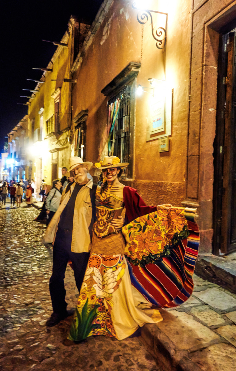
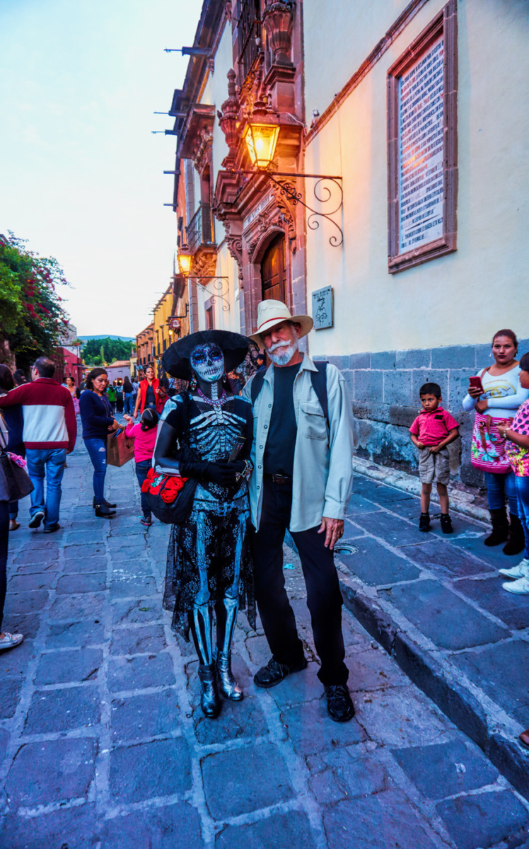
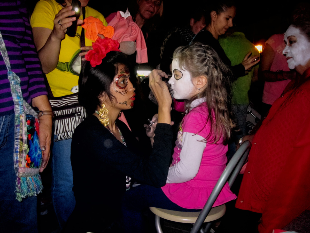
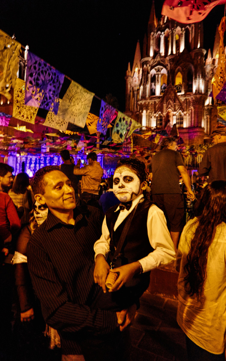
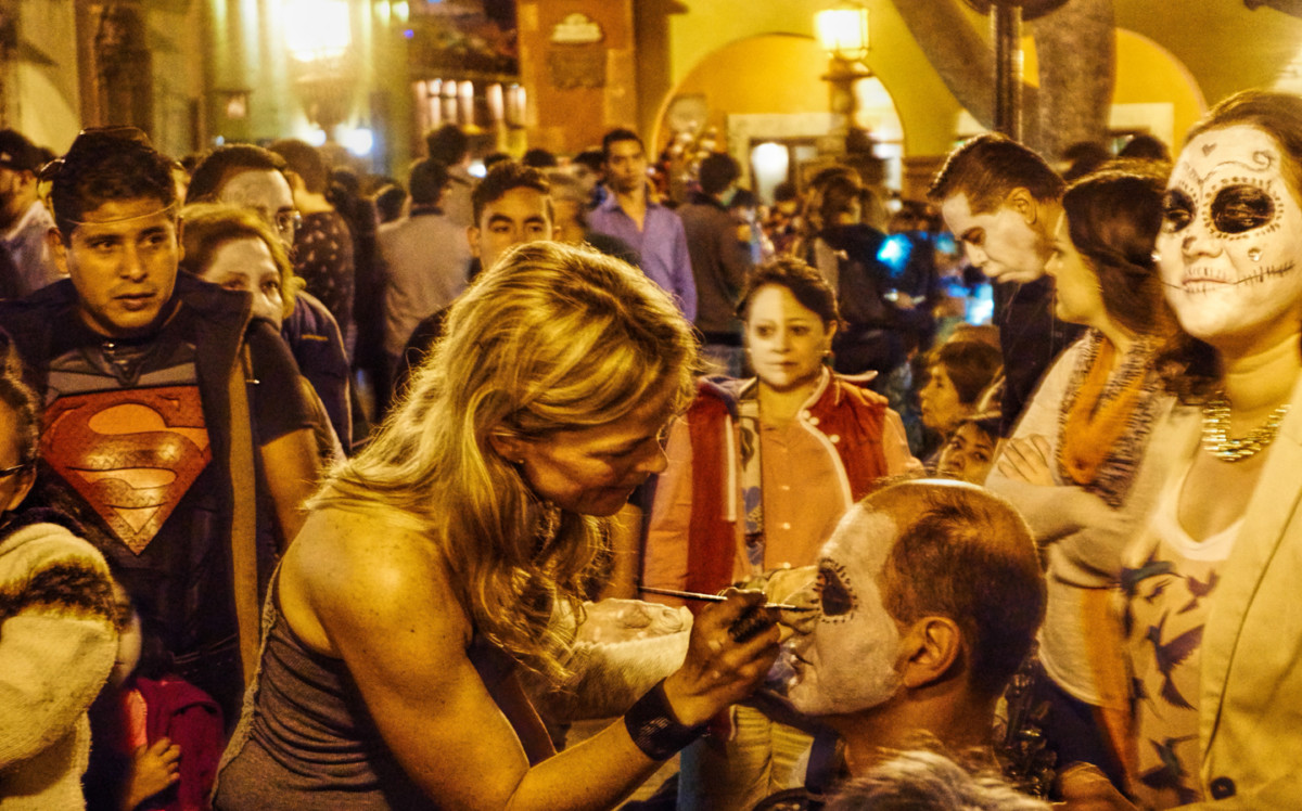
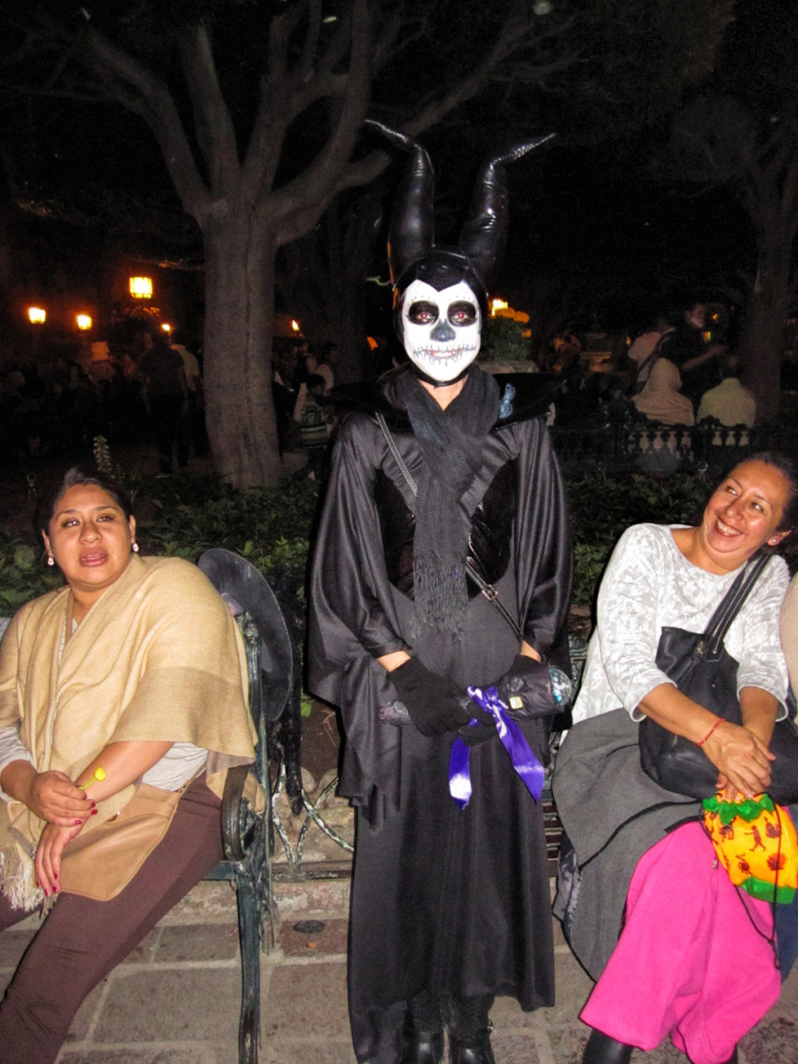
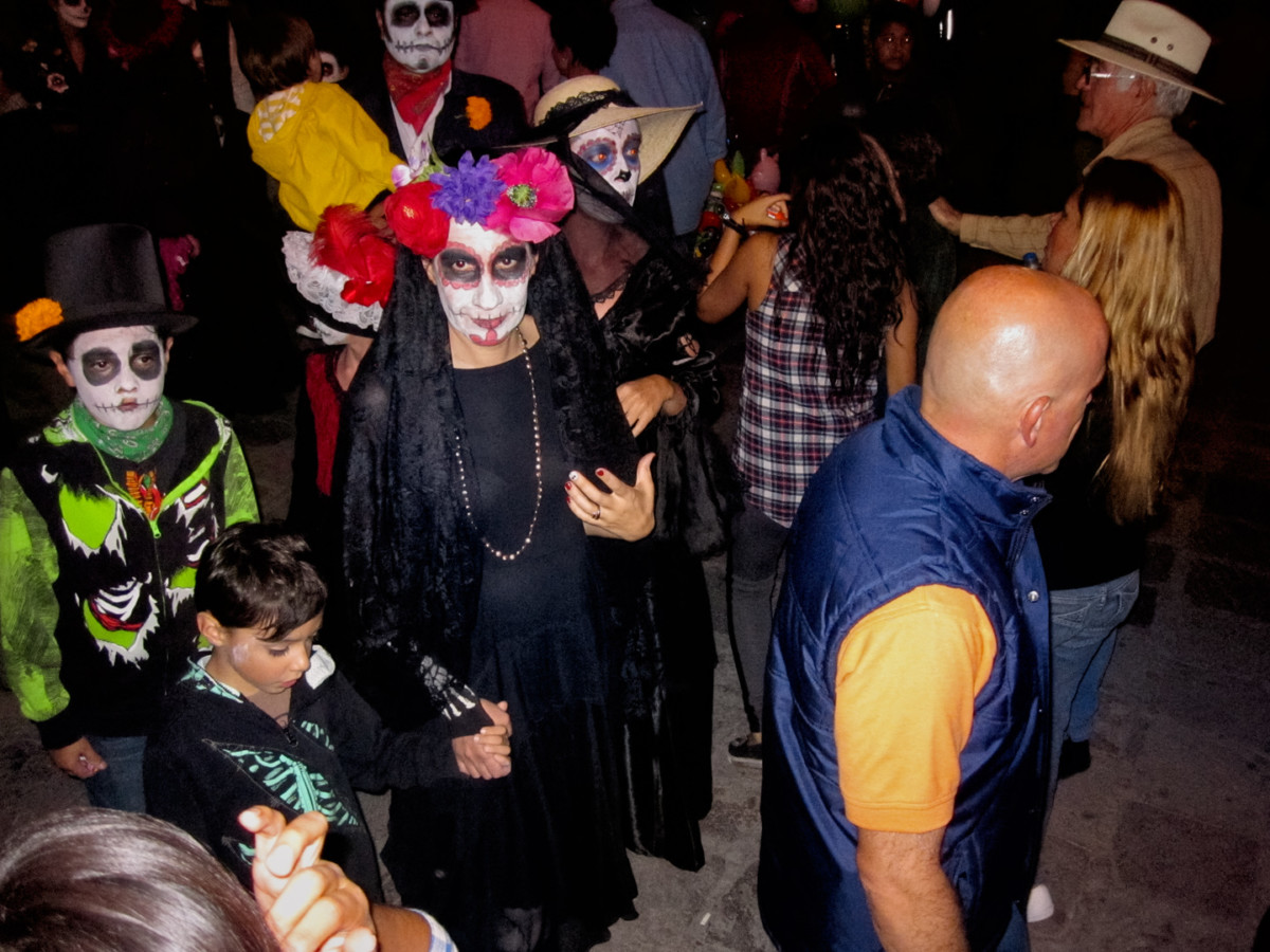
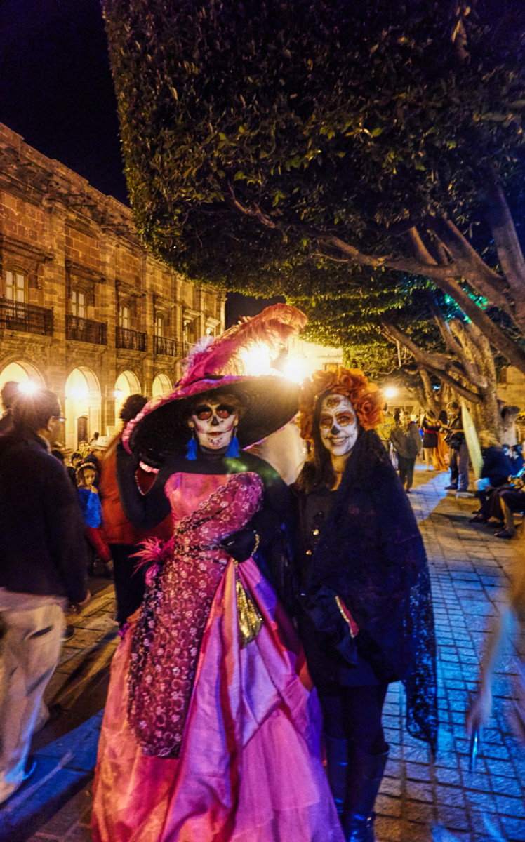
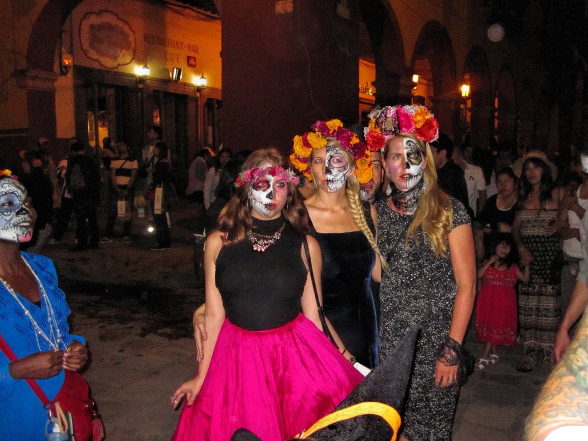
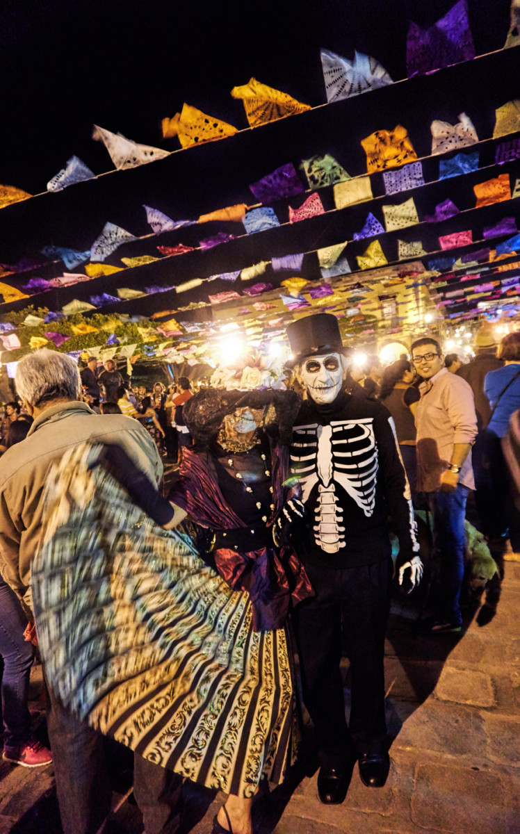
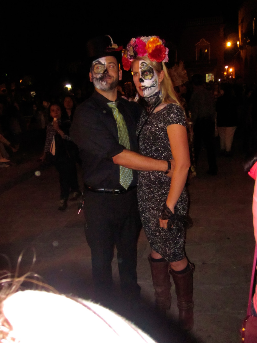
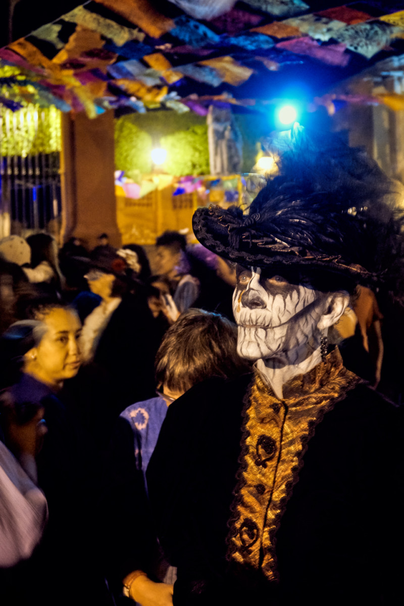
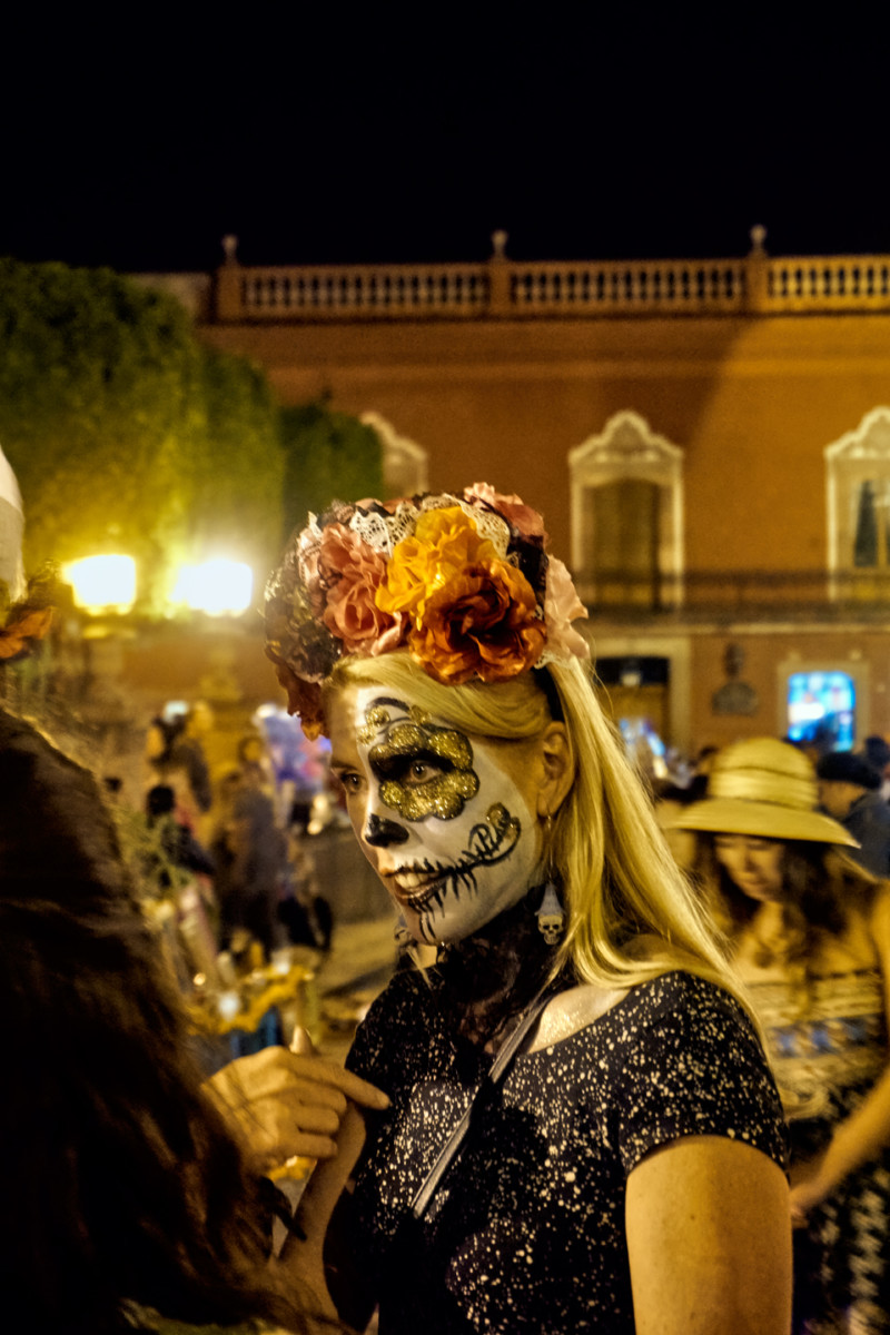
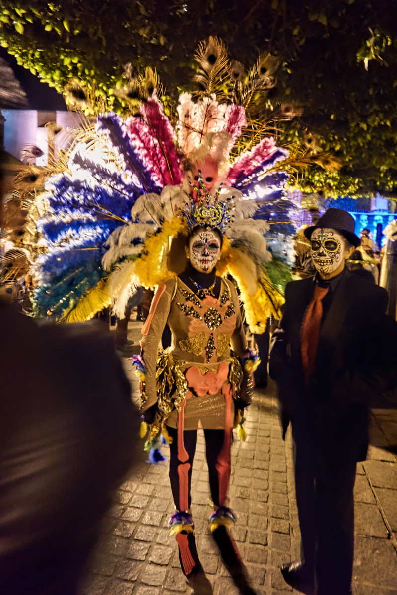
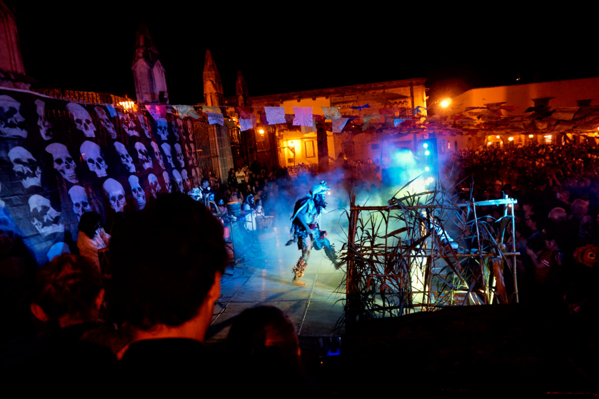
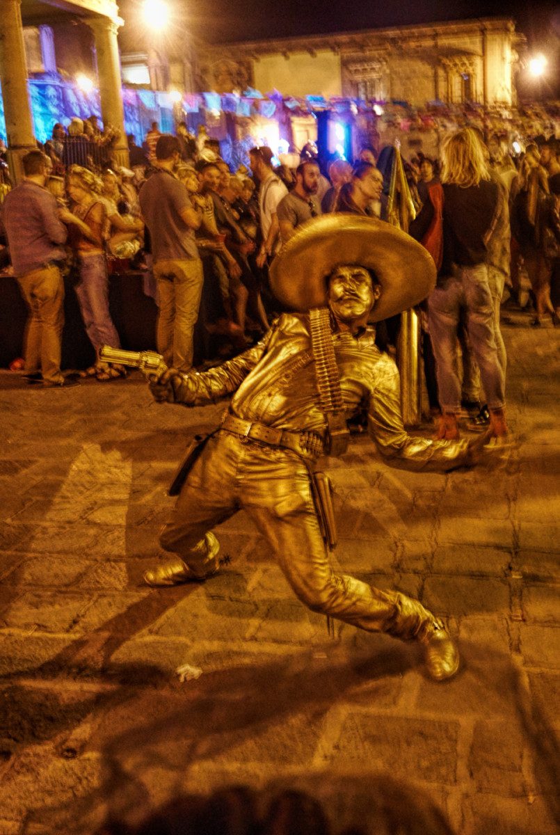
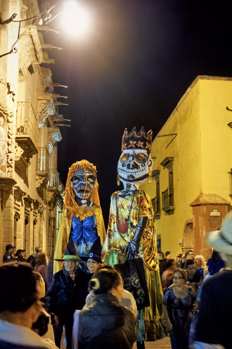
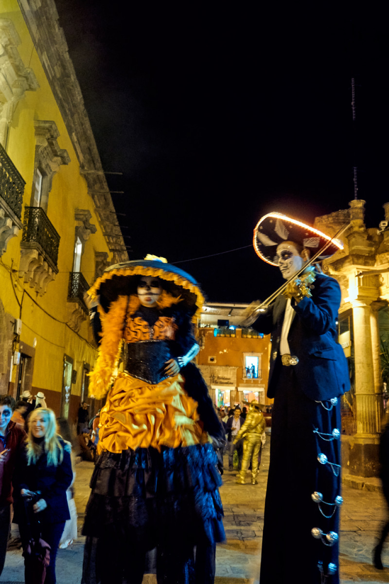
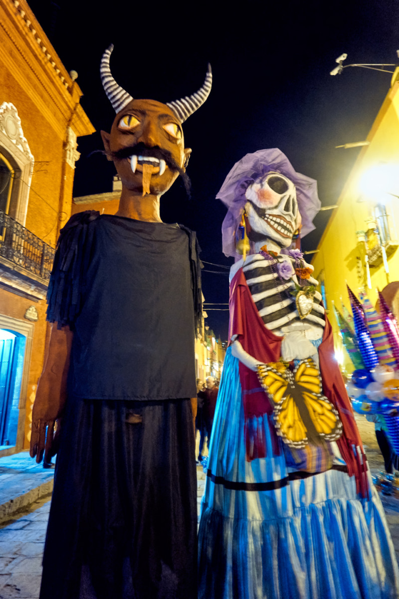
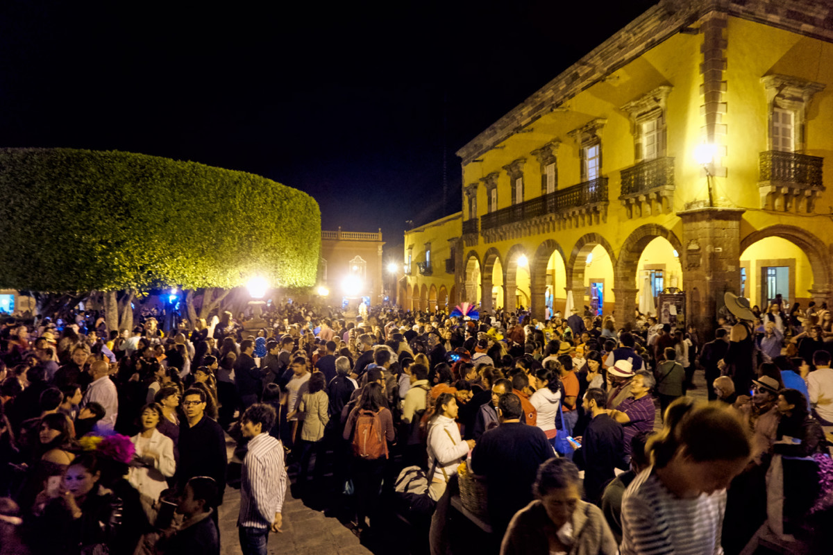
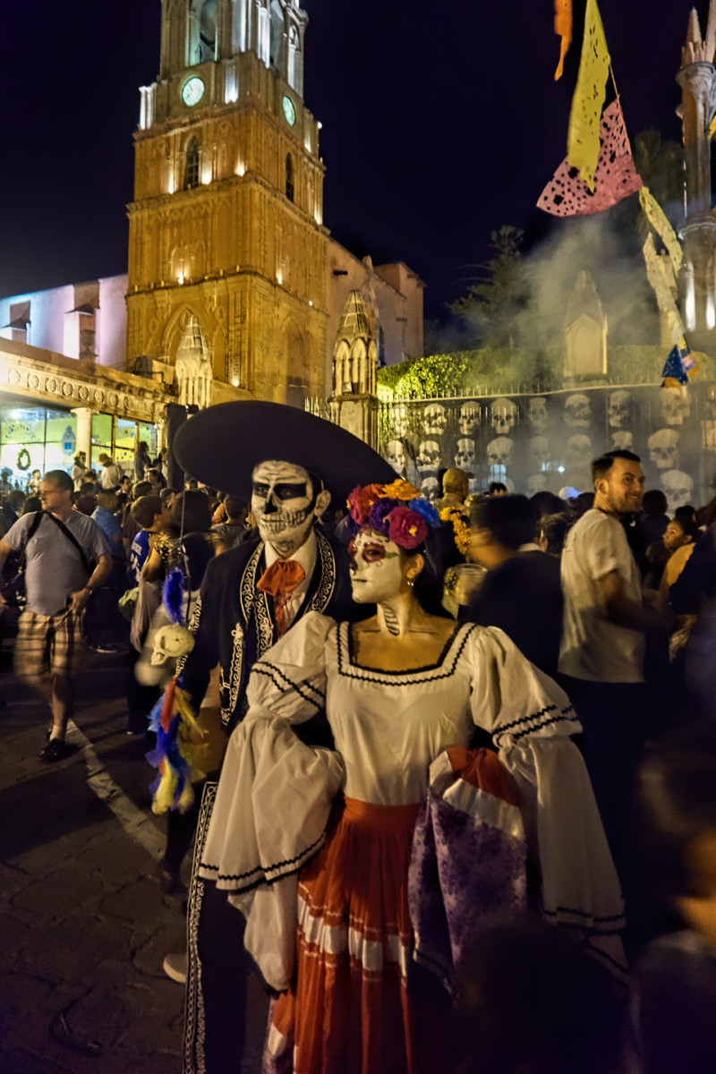
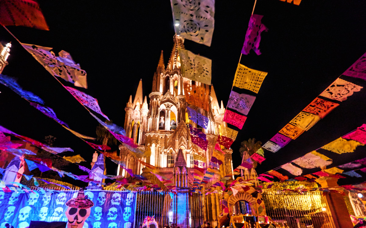
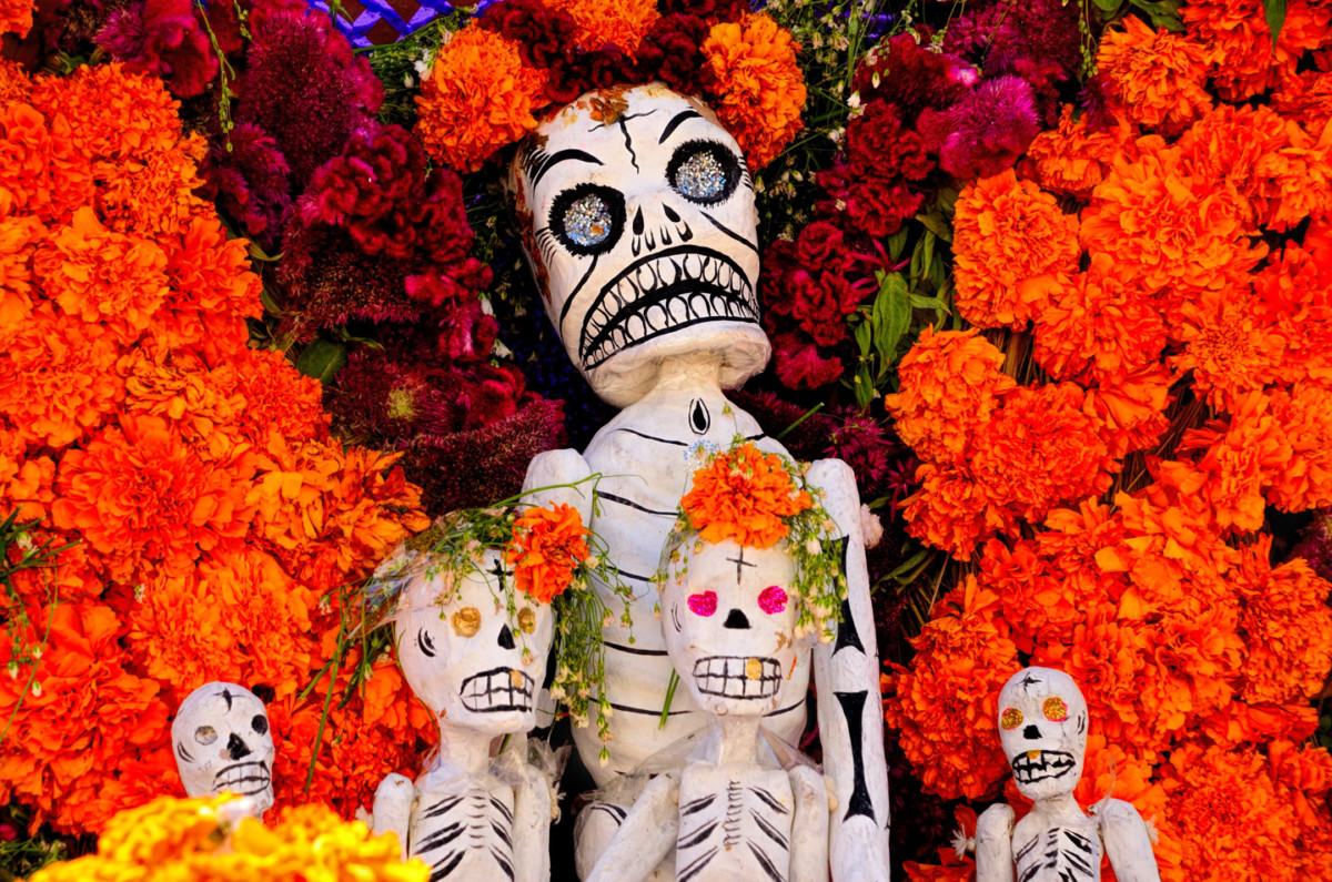
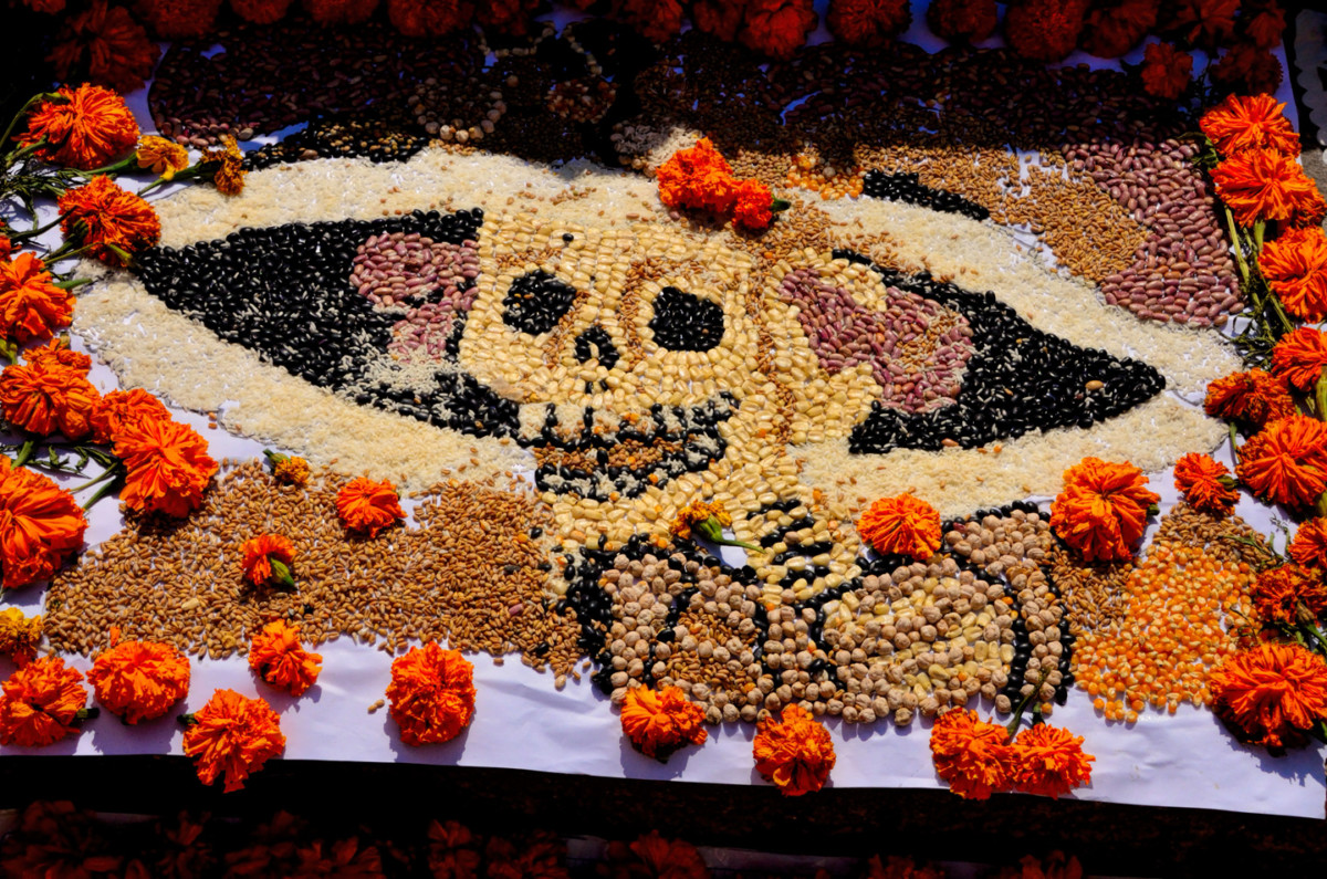
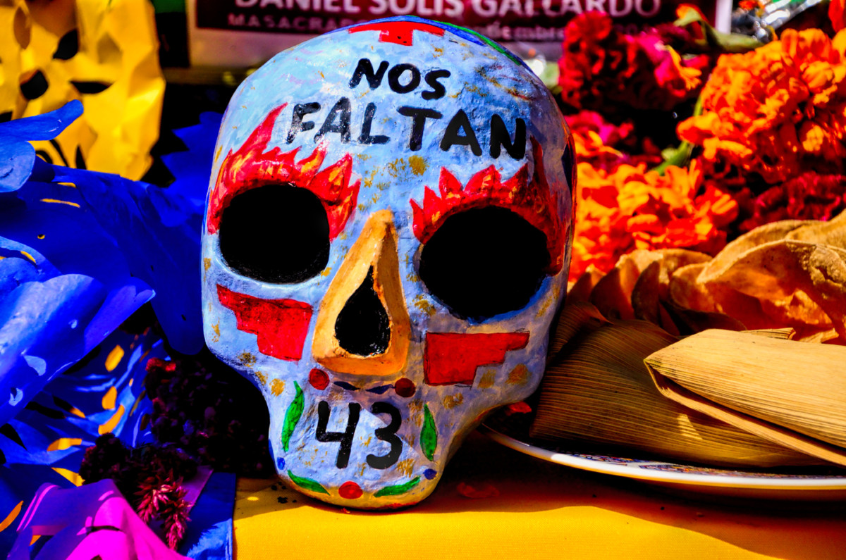
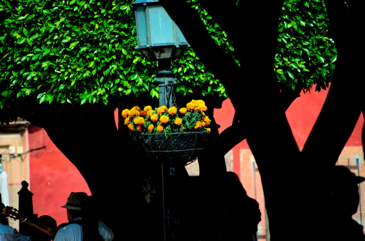
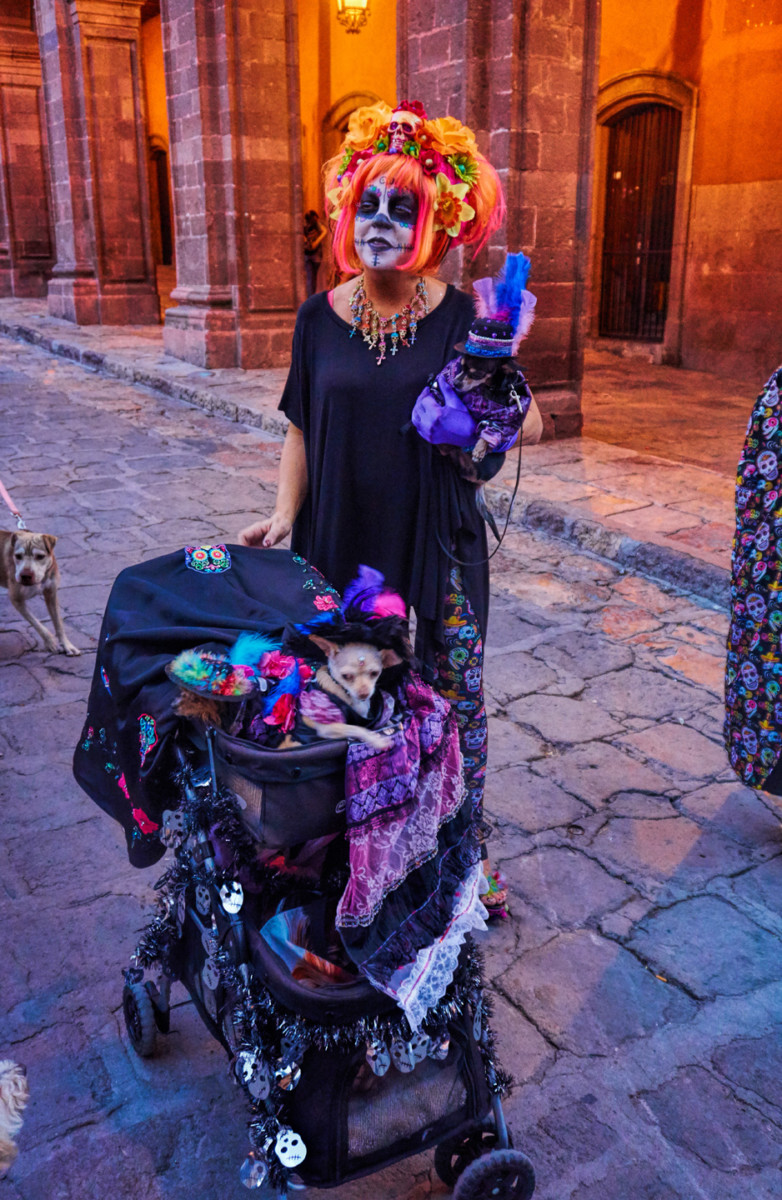
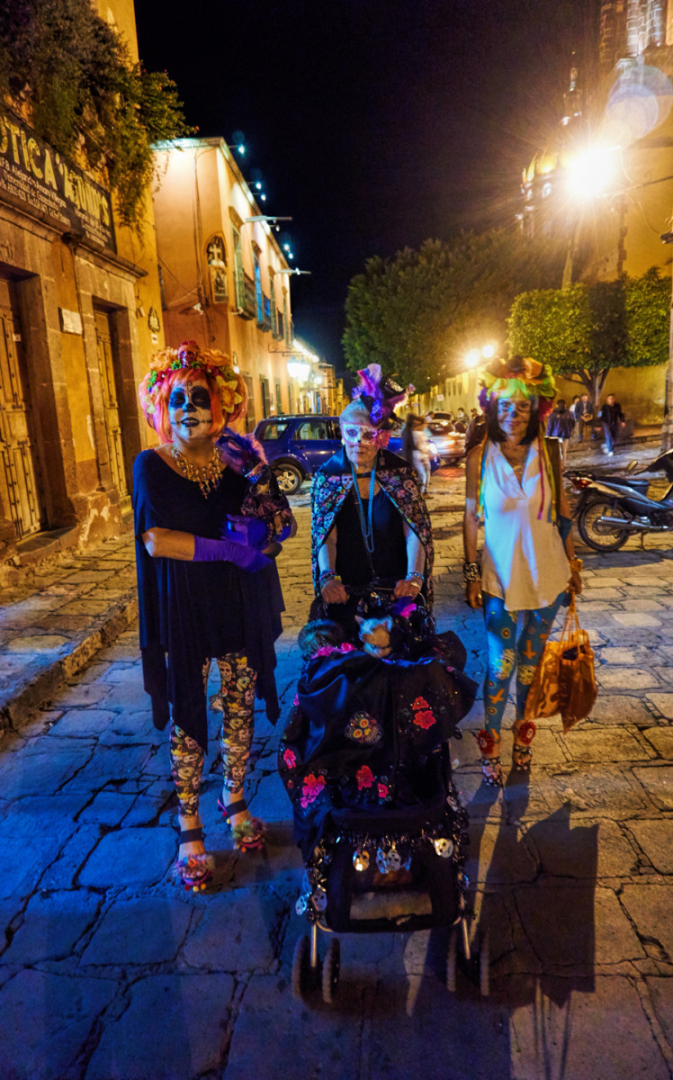
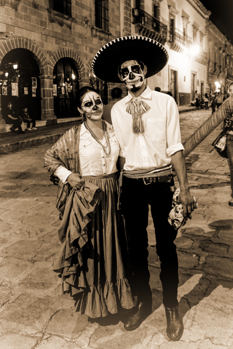
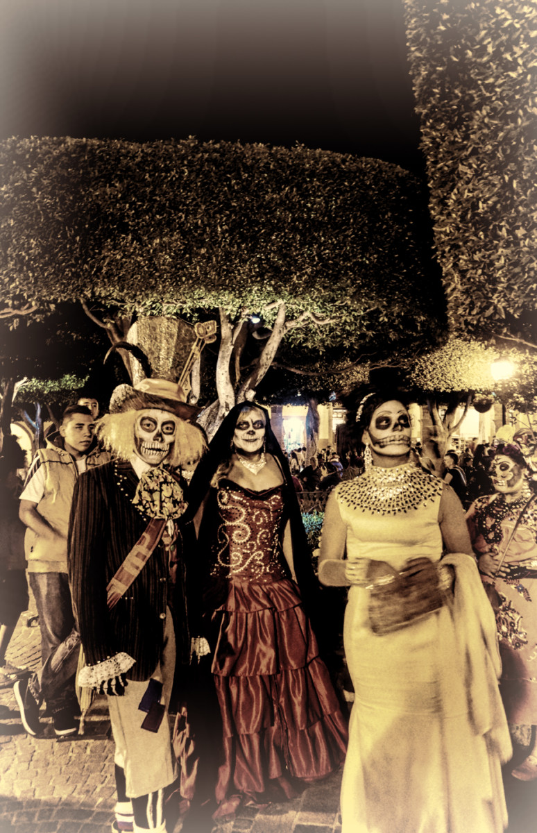
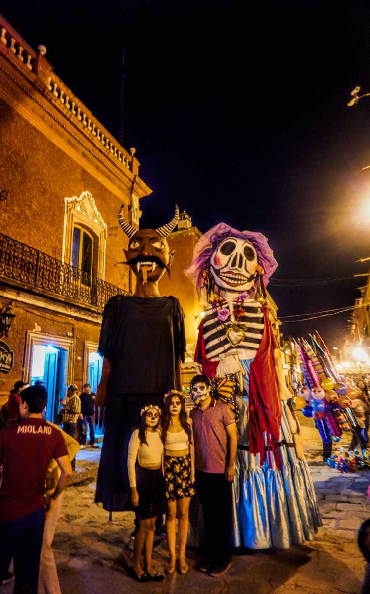
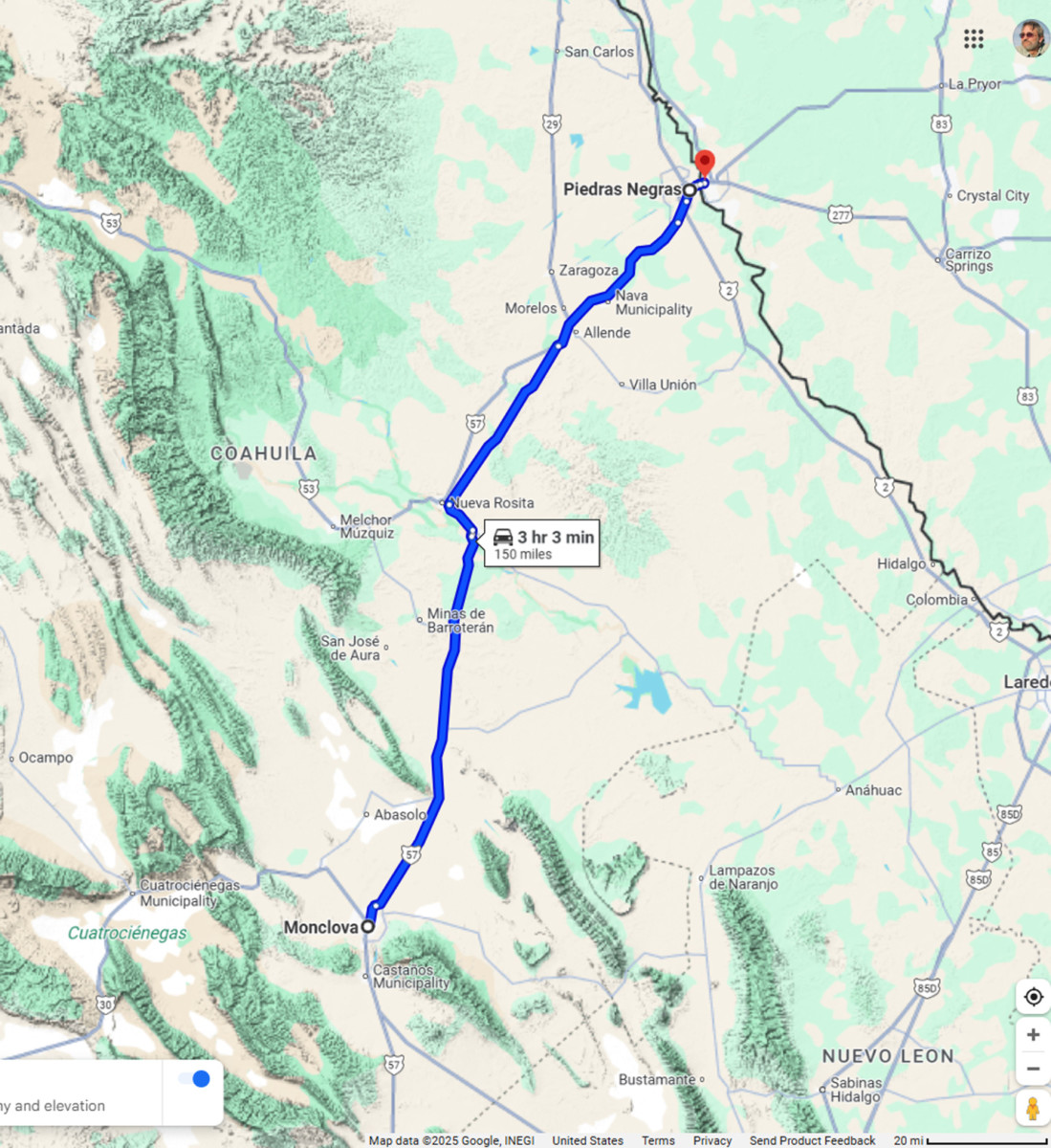
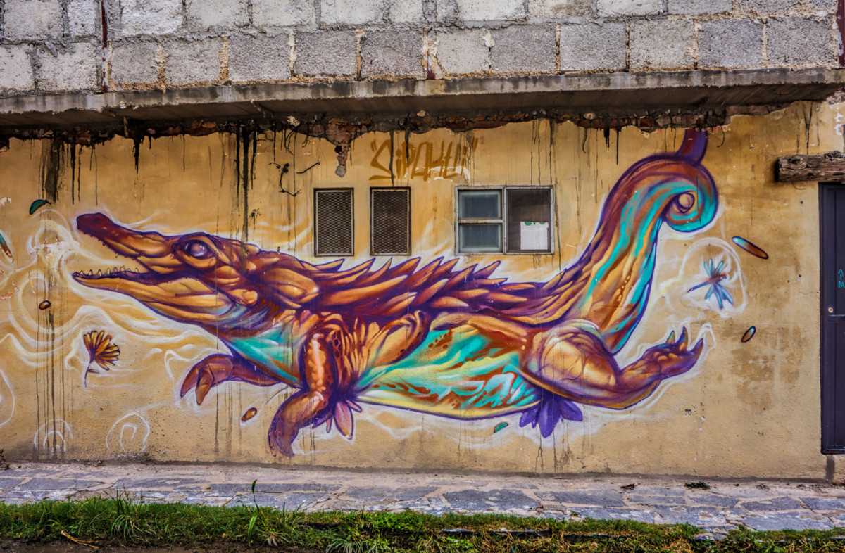
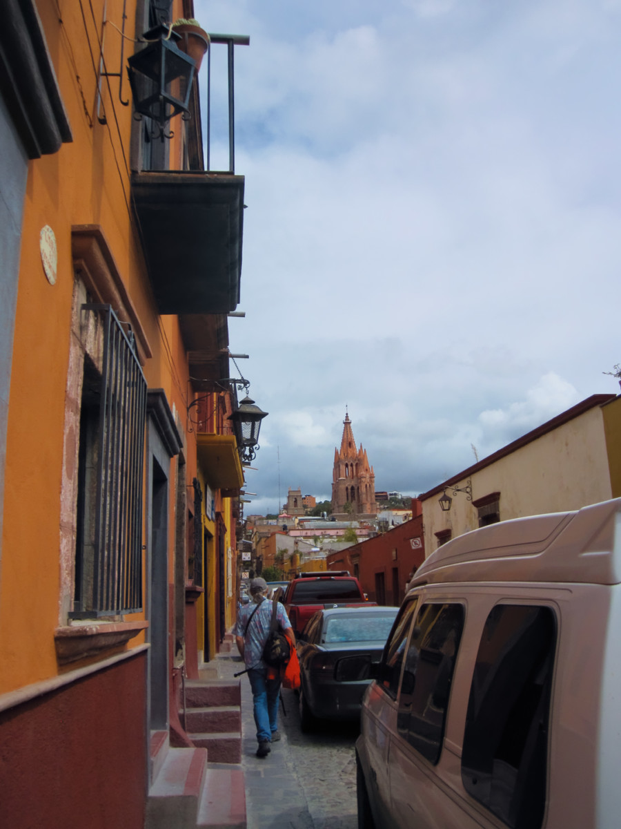
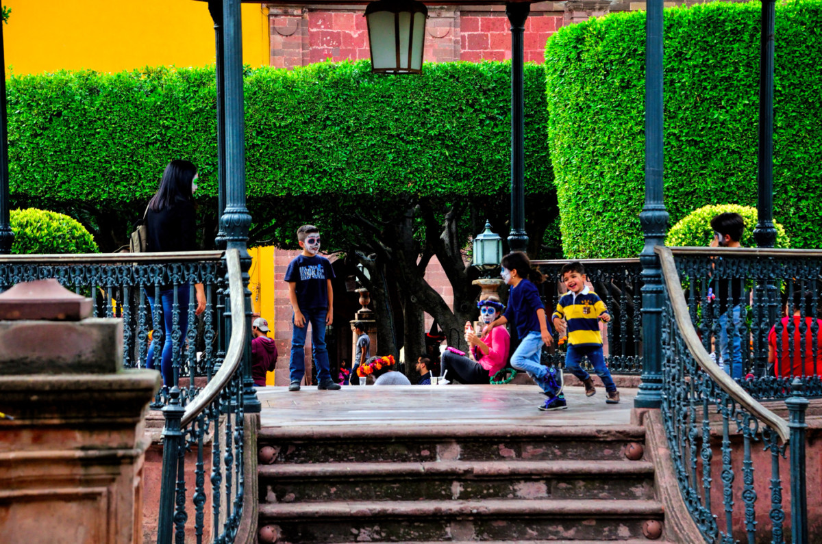
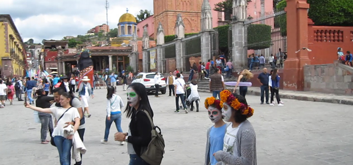
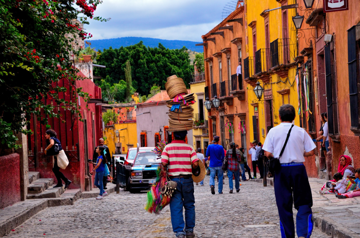
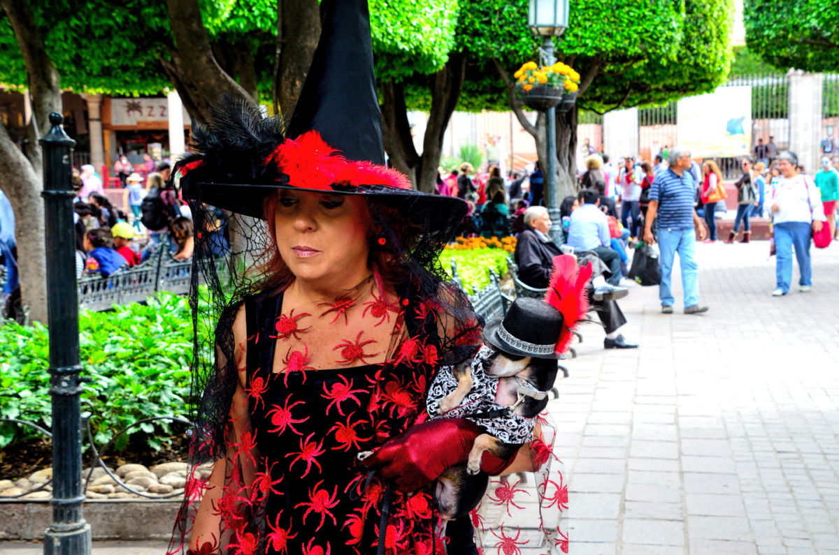
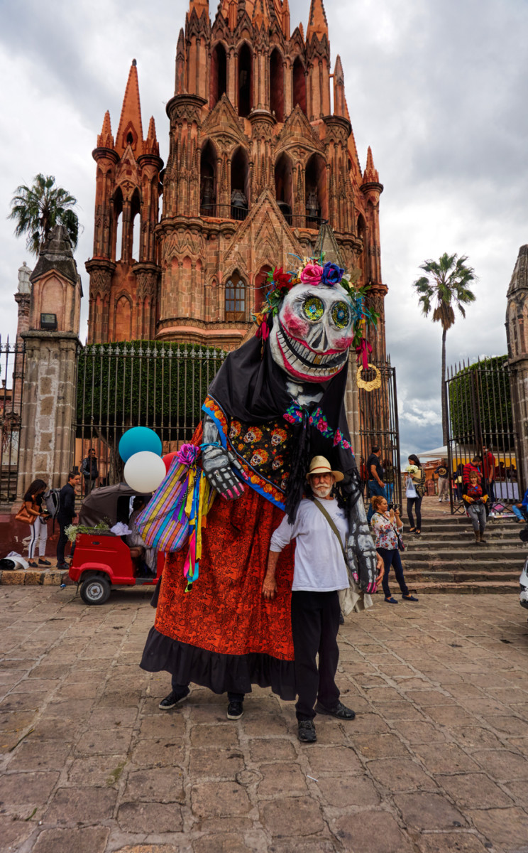
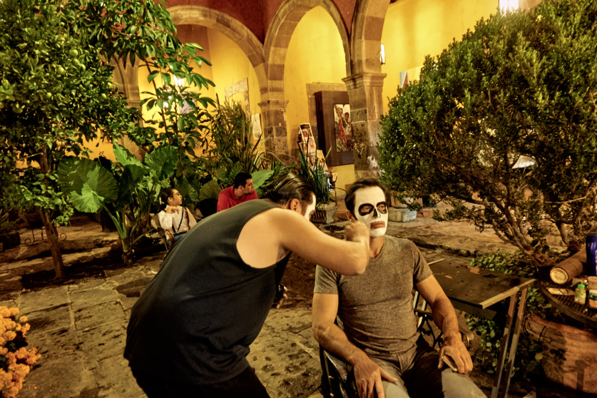
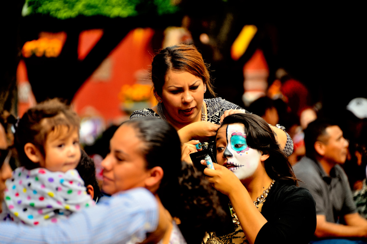
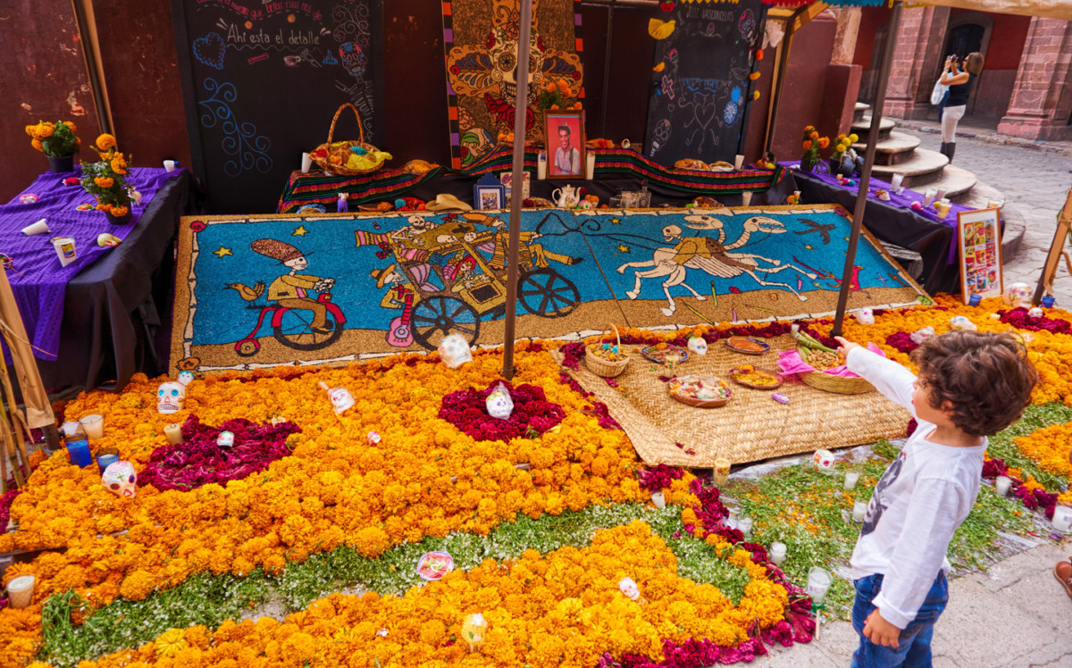
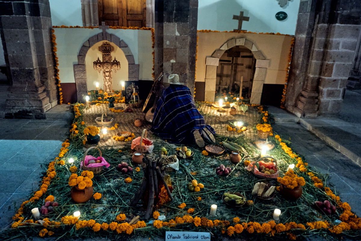
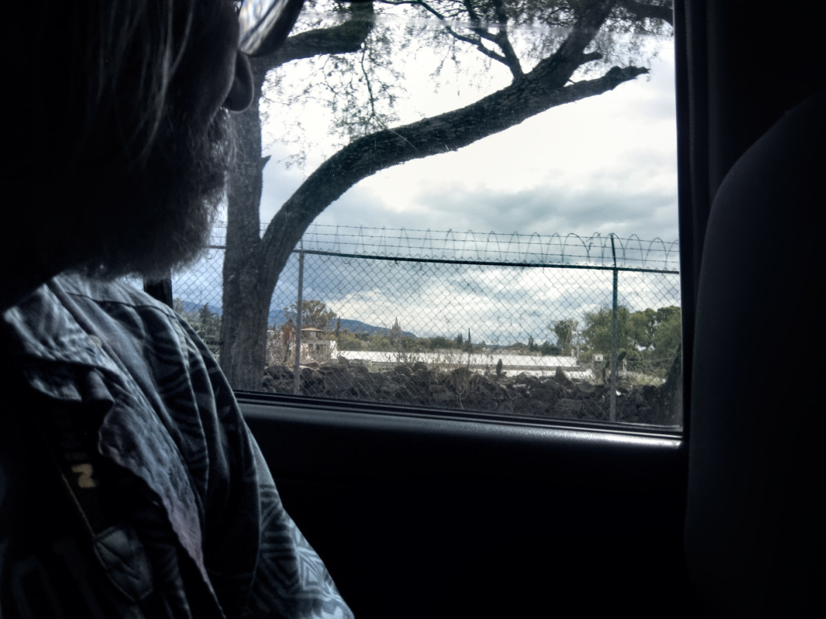
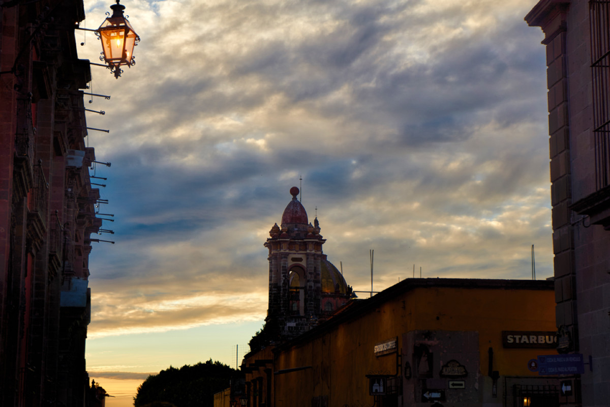
Day 26! It was a hard thing to believe, and a sad thing to contemplate, but we were about to come to the end of our epic adventure in Mexico. We spent the last three days celebrating the Dia de los Muertos in San Miguel de Allende, and that was the perfect Grand Finale, some of the best fun either of us had ever had. Now, unfortunately, the fun was over. Michael had a plane to catch in Austin, Texas, some 864 miles away, and we had just two days to get him there. Any way you slice it, 864 miles is a long drive, and when youre in Mexico for most of that distance, its even longer! Id spent some time studying the route we planned to take, and Id talked to some of the expats in San Miguel, people who had made the drive themselves, and recently. The consensus of opinion pointed to Piedras Negras as the best crossing point. Downtown Nuevo Laredo, which is where we crossed the border on our way south, is considered one of the worst crossing points, largely because the town of Nuevo Laredo, as well as MX-85, the highway connecting Nuevo Laredo to Monterrey, that whole area has been the scene of countless violent incidents, including gun battles, robberies, kidnappings, and carjackings; so many, in fact, that the local press refers to MX-85 as the Highway of Death. When we passed that way on Day 1 of our road trip, we had no idea that we were driving into a war zone, and we obviously got lucky, because we slid through without any trouble. I saw no reason to tempt the fates a second time, even though going through Piedras Negras meant driving 75 miles out of our way, adding an extra hour and a half to our already long drive.
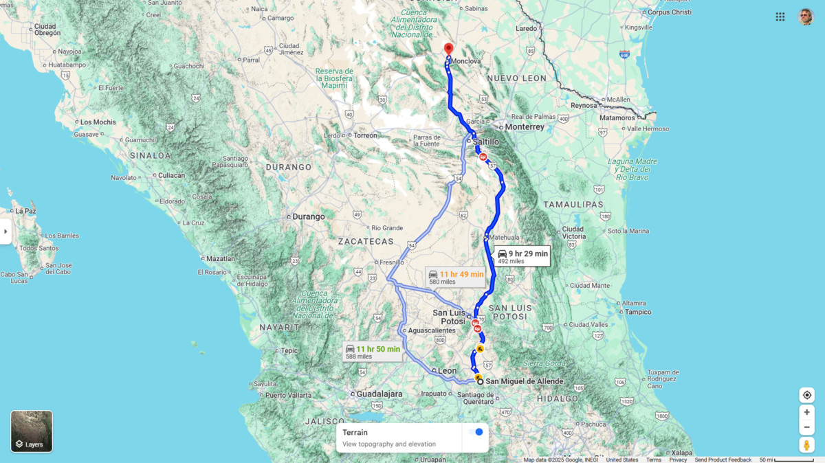
San Miguel de Allende to Monclova
We checked out of the San Ramon right after an early breakfast. We were already on the highway out of town: all we had to do was turn left instead of right at the entrance to the hotel, and then keep driving north until sundown. It was a good road all the way: MX-51 and MX-110 for the first 23 miles, and then MX-57 all the rest of the way to the border. We drove almost the exact same route on our way south at the beginning of the trip, so we knew what to expect.
I figured that if we kept up a steady pace for the next ten hours, we could get as far as Monclova, some 500 miles away. That would leave us just 150 miles more to the border, and from the border to Austin another couple of hundred, most of that on a fast Interstate freeway. Barring any delays, I expected to arrive in the Texas capital with time to spare.
What do you think? I asked Mike, as we drove away from the San Ramon.
I think Im going to miss Mexico, he replied. This has been the best road trip ever.
Find us some good tunes, I said, handing him my phone, which was plugged in to the Jeeps stereo. I had more than 9,000 songs in my music library, so choosing the soundtrack running in the background was an enjoyable part of our daily routine. As I recall it, Michael usually chose well. He and I had been friends since all the way back in high school. (Sixty years!) That gave us a lot of shared experience, and many mutual acquaintances to talk about on our long drive north that day, cruising along on a wave of bittersweet nostalgia.
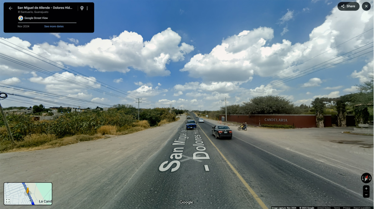
Leaving San Miguel de Allende, headed north on MX 51
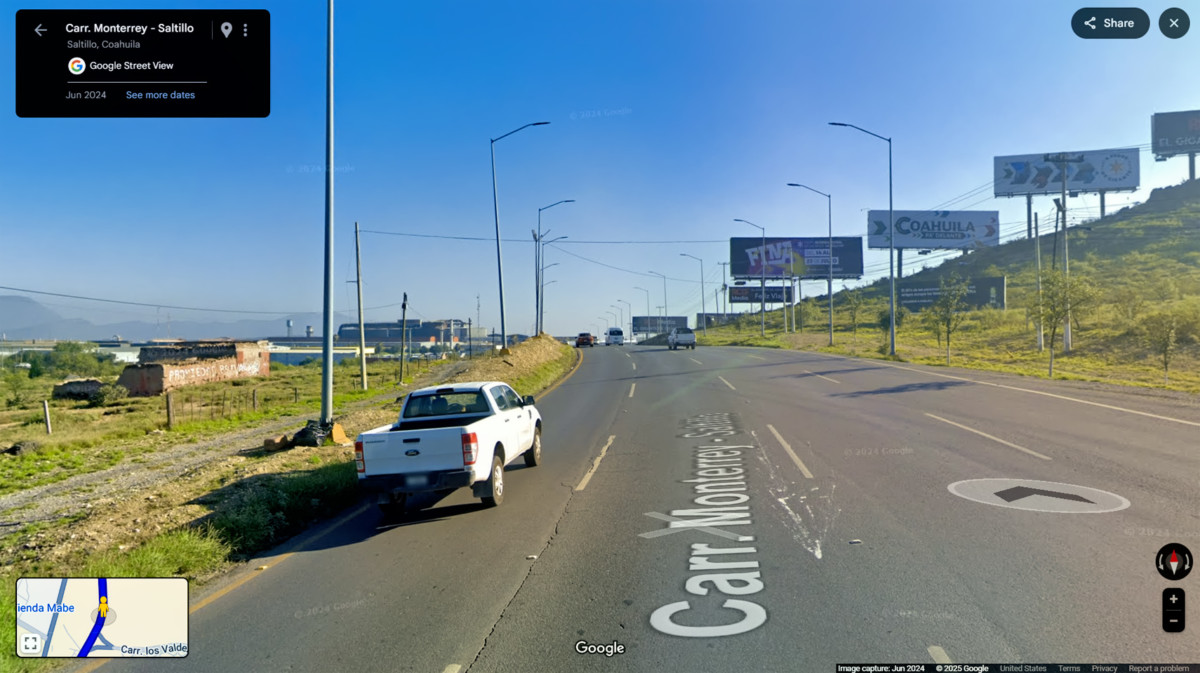
That first 23 miles, on the smaller roads, was flat and straight, with no surprises. Thinking back on the thousands of miles wed already driven on Mexican highways, the rest of the trip was going to be a snooze. Once we hit MX-57, we would be on the best road available, all the way to the border, with no navigation required. The only potential wrinkle was the state of Coahuila, one of several that were classified as dangerous for travelers during the time of our trip. We figured wed be safe enough as long as we stuck to the toll road, and traveled only during daylight hours.
Note that in 2024, Coahuila was upgraded from Level 3 (Reconsider Travel) to Level 2 (Exercise Increased Caution), as the security situation for travelers has actually improved during the most recent reporting periods.
RUN FOR THE BORDER
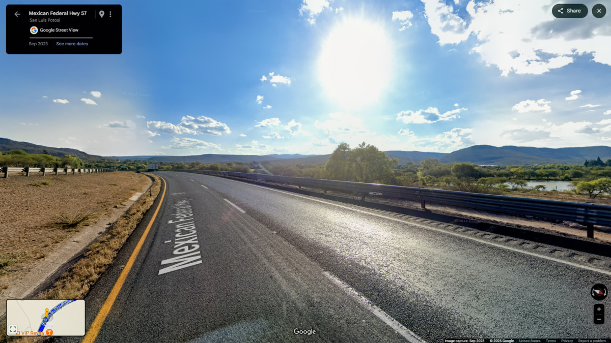
on MX 57
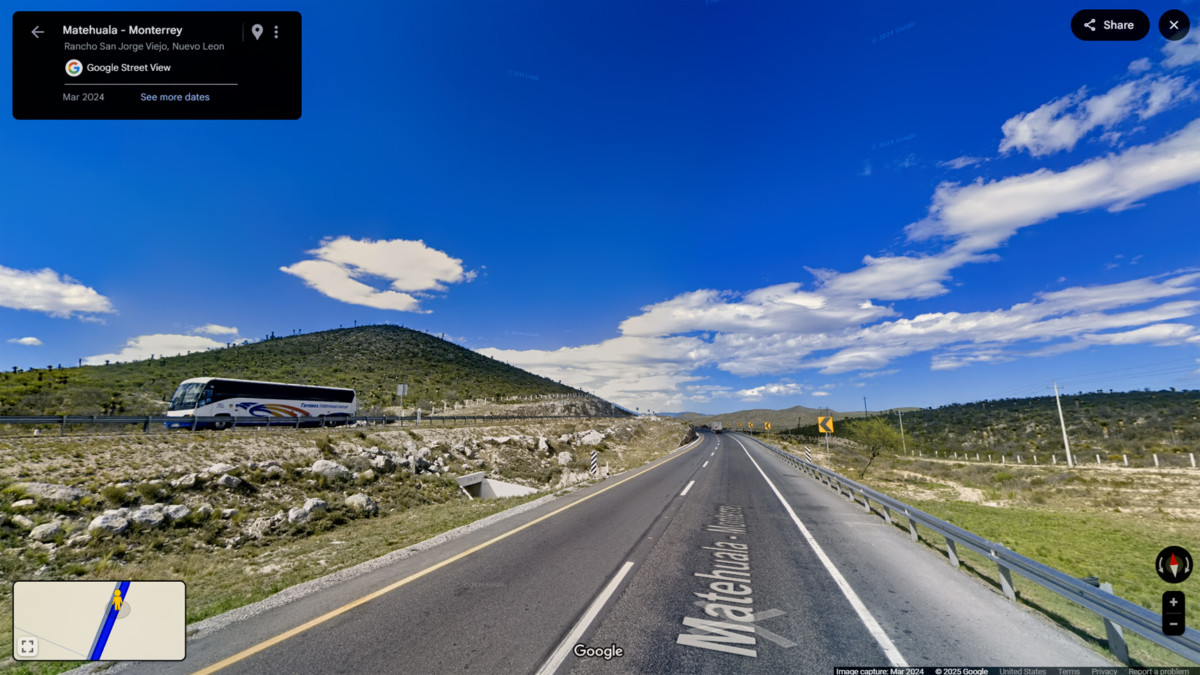
San Luis Potosi, the first major town, was 100 miles north of San Miguel de Allende, and to get there, we traveled through the Bajio Region, in the eastern portion of the state of Guanajuato. The Bajio is a high altitude basin within the Mexican Plateau, known for agriculture and a mild climate. The terrain was high plains and rolling hills, with swaths of irrigated farmland producing crops like corn and beans.
Scenes along the road leaving San Miguel de Allende
I was sorry that we werent able to stop in San Luis Potosi. The city has an important place in Mexicos history, and its loaded with Colonial era architecture. There has always been significant wealth here, in the form of one of the worlds largest silver deposits. Potosi was appended to the citys name out of hope that the mines would rival the mountain of silver discovered by the conquistadores in Potosi, Bolivia. They never matched Boliviabut theyve been digging up silver and gold by the boatload for centuries.
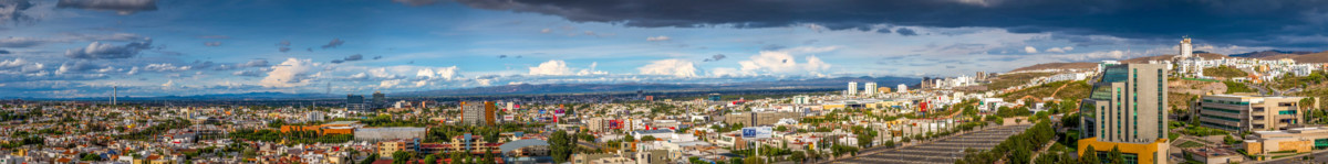
City of San Luis Potosi-Panorama
San Luis Potosi-photo CNN
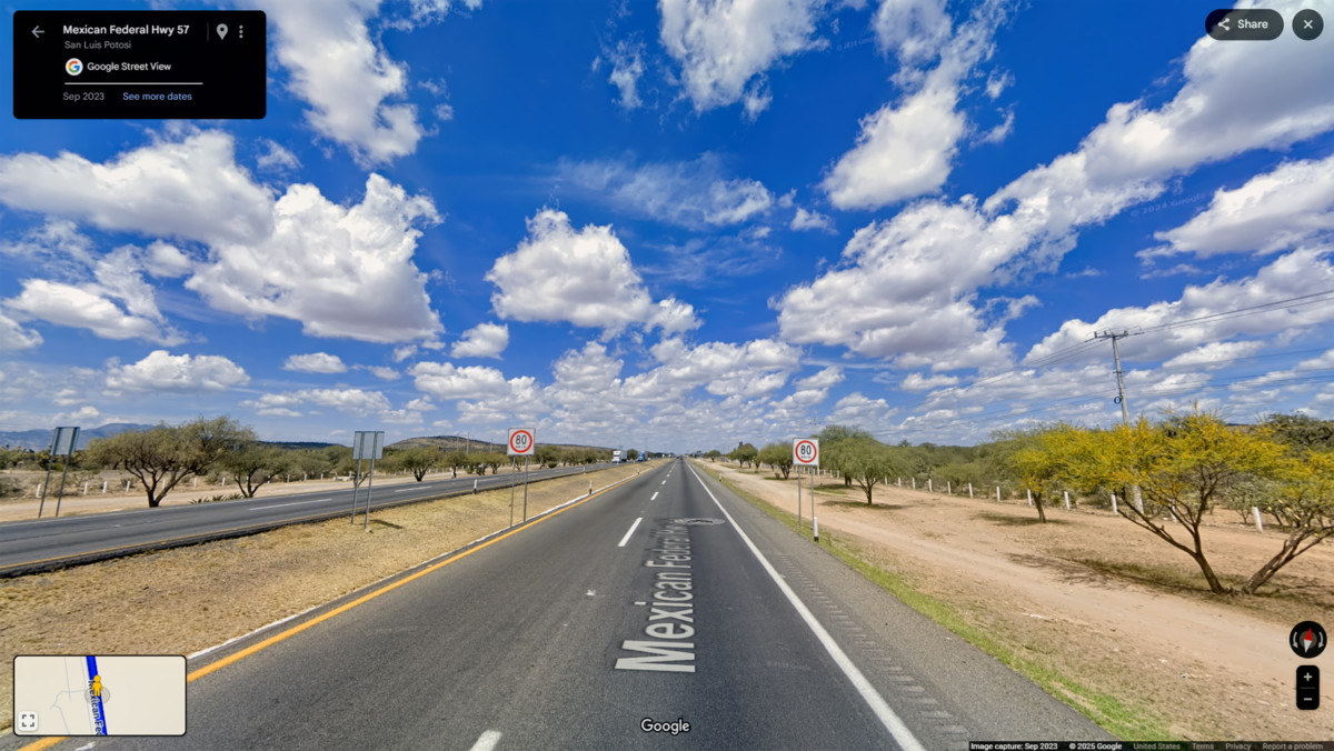
In any case, we sailed right past the city on the toll road, and what little we saw of the place was off in the distance. The city and its surroundings appear to be relatively flat, despite an average elevation of around 6,000 feet. As we drove north toward Matehuala, the next major town along the way, the terrain rose a little in altitude, and the surrounding area, mostly grasslands, started getting a little drier.
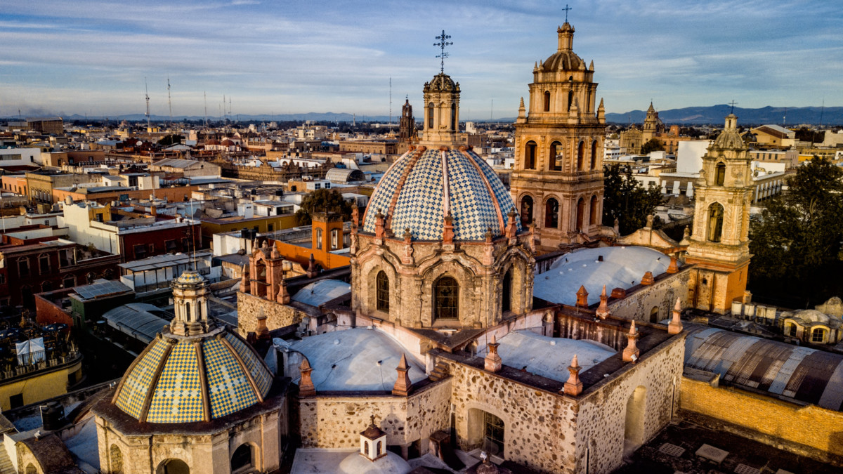
Cathedral of the Immaculate Conception, Matehuala: Started in 1898, and never quite finished
Matehuala was another major city where all we did was drive-by and wave. It was more of a mile marker for our purpose, a funny name on the road signs. One of the more interesting things I discovered about the place was that name, thought to be derived from an Indian war cry which, roughly translated, means: Dont come here!
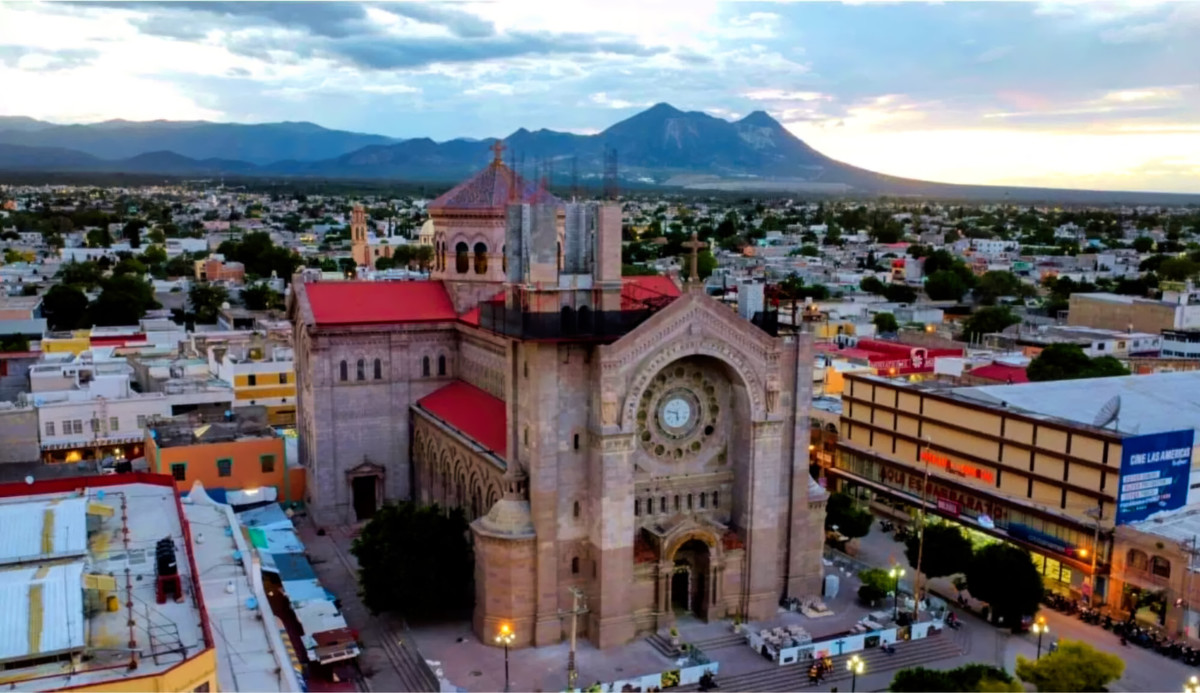
Matehuala, and the Cathedral of the Immaculate Conception
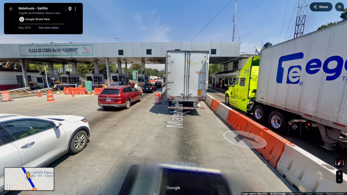
Toll Plaza north of Matehuala
The drive north from Matehuala was more of a snooze than a cruise. Straight, flat roads, not much in the way of scenery, and sparsely populated, little going on to break up the monotony. On the plus side, we were really chewing up the miles!
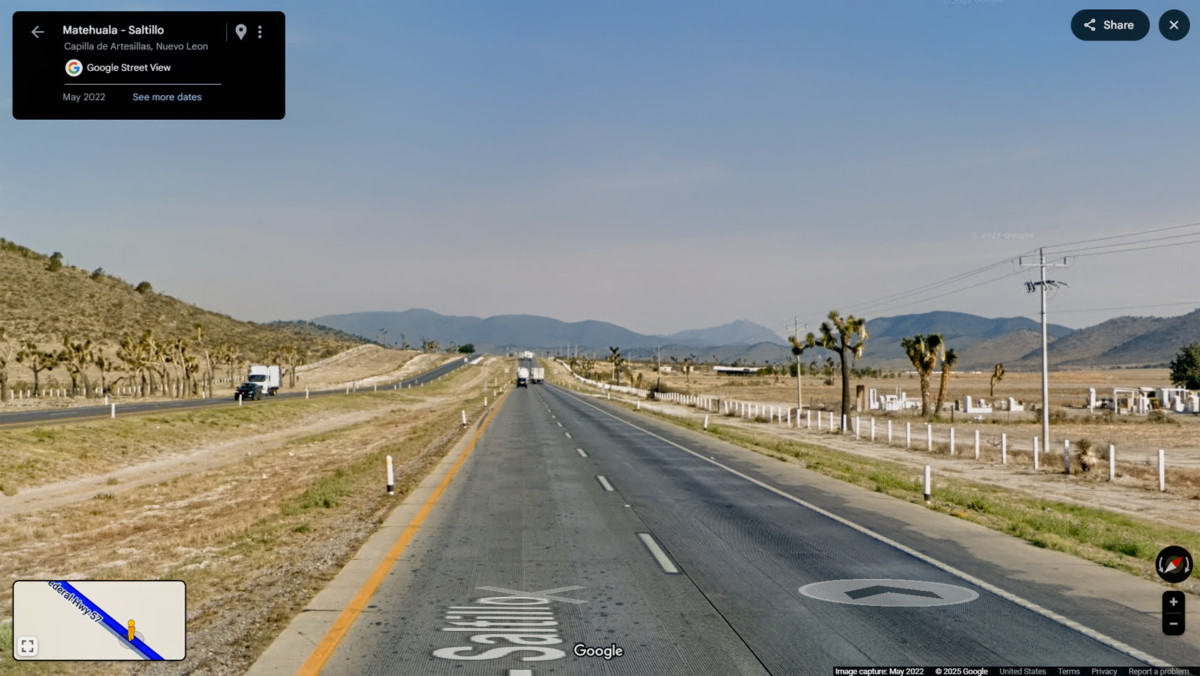
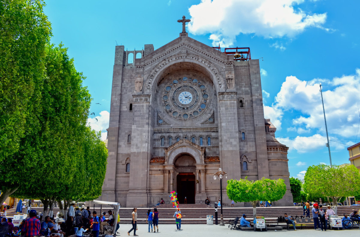
Saltillo was the next major way point, yet another interesting city we couldnt take time to visit. On the second day of our road trip, wed driven the same roads that we drove today. Wed passed through Saltillo, but, just like today, we were in too much of a hurry to stop. Saltillo was our crossroads: if we turned east here, wed be retracing our previous route to the border at Nuevo Laredo (along the Highway of Death). This time, we knew better, so we turned north, toward Monclova, and Piedras Negras.
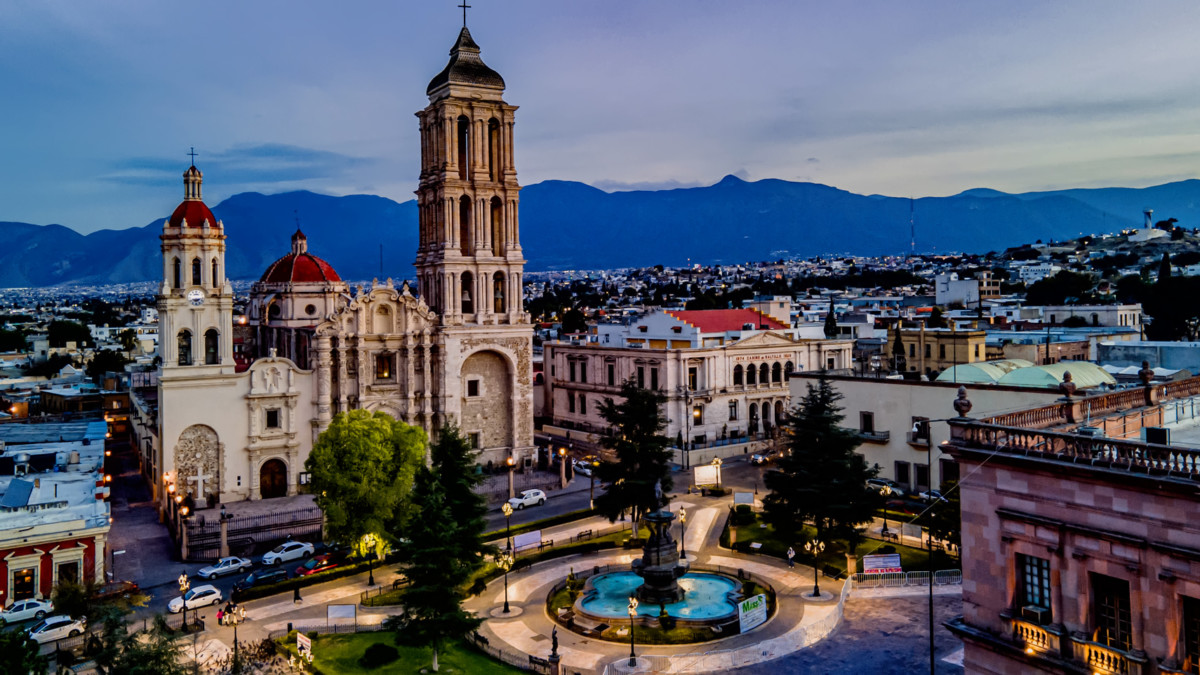
Cathedral of Saltillo
Leaving Saltillo
GAS SCAM
It was on the highway north of Saltillo that we got snookered one last time. I stopped for fuel at a Pemex station, and I was descended upon by a pair of service station attendants working as a team. One of them took my order, to llenalo con magna, (fill it with regular).
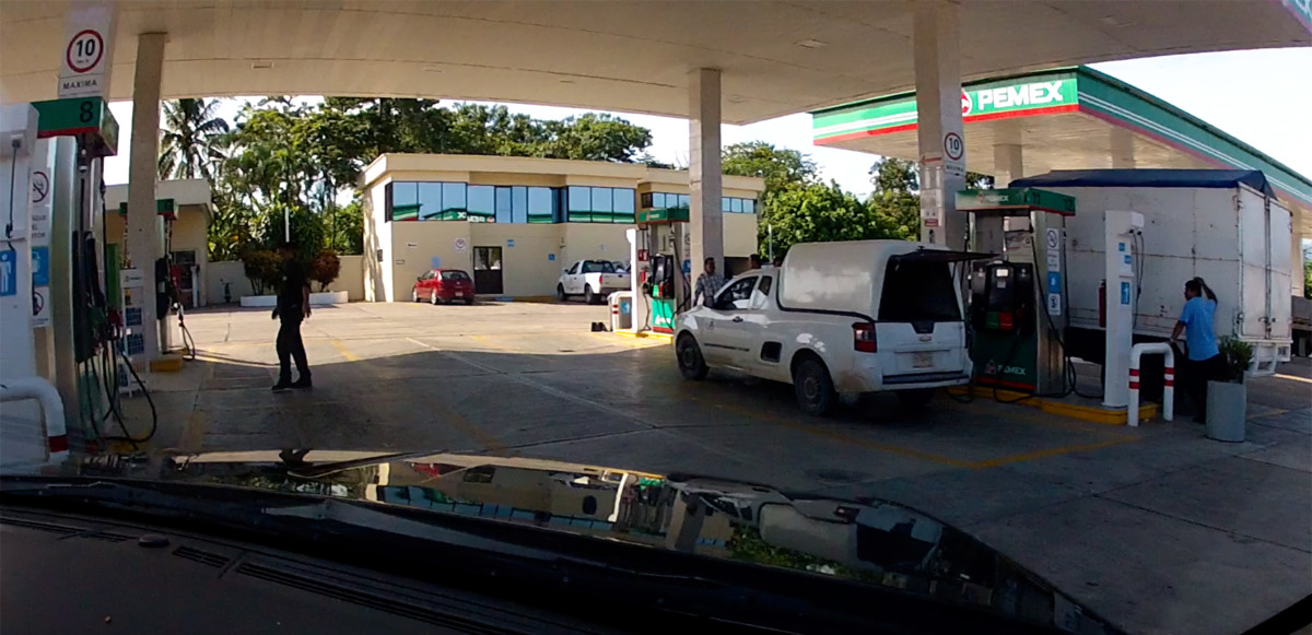
He walked back to the pumps, while his partner distracted me, aggressively trying to sell me some sort of miracle fuel additive. Moments later, the first guy came back, sheepishly admitting to having made a mistake. Hed started to fill my tank with Premium, rather than Regular, and he claimed hed already dispensed 200 Pesos worth before he realized his error. Did I want to fill it the rest of the way with Premium, or should he finish it off with Regular, and add the two totals together? I had him finish with Regular, and when my tank was full, he combined the two sales, and charged me for 22 gallons of gas. The only problem with that? I have an 18 gallon tank. It was obvious that most, if not all of that 200 Pesos showing on the Premium pump dial was left over from the previous customers transaction. By distracting me, they made sure I didnt notice that the pump had NOT been reset back to zero.
This is an EXTREMELY common scam at Mexican gas stations, and this was the first and only time on our road trip that I got taken by it. The attendant forgets to reset the dials on the pump after the previous customer leaves. If you dont notice, hell simply start fueling. Your total is inflated by the amount of the previous transaction, and the attendant slyly pockets the overcharge.
There is no self-service at Mexican gas stations. All fuel is dispensed by attendants who will also clean your windows, check your tire pressure, and perform other small services, a throwback to the good old days, before do-it-all-yourself became the standard. The honest pump jockeys will always point out the zeroes on the pump dial before they start fueling. Cero cero! (Zero zero!) is a phrase you hear almost every time you stop for gas; proof of the attendants good character.
MONCLOVA
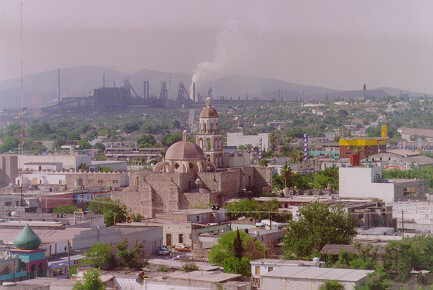 Monclova, Coahuila, steel smelters smoking away
We rolled into Monclova in late afternoon, and decided wed gone far enough for the day. In 2015, the entire Estado of Coahuila was under a Level 3 advisory, so we were compelled to stick with the basic rules: dont deviate from the main road, (MX-57), and dont drive at night. The closer we got to the border, the more important those rules became. Monclova is an older Mexican City, but the infrastructure at its core is mostly modern and relatively new. We ended up at a boring, business class chain hotel called the Fiesta Inn, which set us back $82.00the most expensive hotel charge on our entire month long road trip. Monclova is the steel capital of Mexico, so its the site of major industry that befouls the atmosphere even as it enriches the community.
FIESTA INN
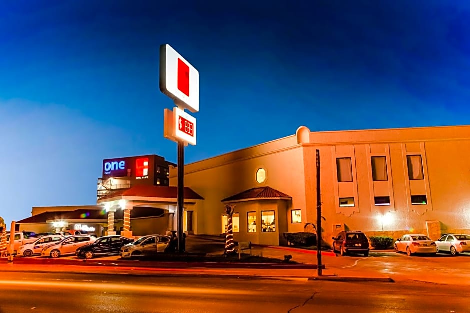
Centrally located, the Fiesta Inn had all the amenities you might expect at a business class hotel in the U.S. The clientele was mostly men in suits with Houston accents, transacting a bit of transnational business that most probably involved steel. (Duh!) All Mike and I needed was a place to sleep, and the Fiesta Inn served that purpose well enough.
<<CLICk HERE>> for more information on Fiesta Inn
We were 150 miles from the border, which was three hours of driving, barring any delays. I was excited to be going home, and, at the same time, sad to be leaving Mexico. I would have loved to have kept traveling longer, but Michael had to get back, and when you got down to it, so did I. Since my retirement, a few short months earlier, Id spent more time in my Jeep than I had in my house. It was past time for me to settle down and get my life organized.
We had some sort of mediocre Mexican food at the hotel, and crashed early, resting up for the last big push!
DAY 27:
From: MONCLOVA
To: PIEDRAS NEGRAS, EAGLE PASS, AND AUSTIN
THE END OF THE ADVENTURE!
We hit the road right after breakfast. I was a little nervous about the border crossing, remembering the old days, when it was not uncommon for U.S. Customs to literally dismantle a vehicle returning from an extended stay in Mexico, seeking spaces where contraband might be hidden. Being respectable (ahem) Senior Citizens, we werent likely to raise any red flags, and we most certainly werent carrying anything that might get us in trouble. Even so, I was looking forward to putting the border behind us.
Our last 150 miles was pure Chihuahuan desert, part of the largest desert in North America. It Isnt as lush as the Sonoran desert in Arizona, but its still familiar terrain. The arid landscapes of the western U.S. will always feel like home to me.
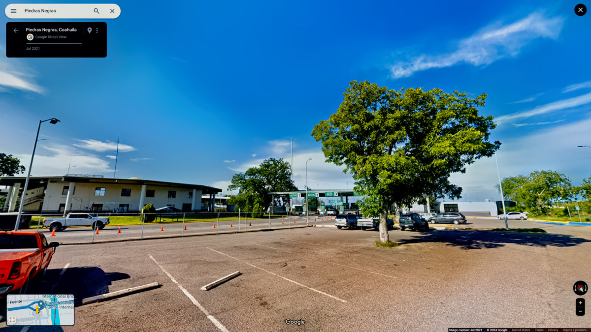
PIEDRAS NEGRAS
The miles passed quickly, and, and almost before we knew it, we were exiting the Toll Road in Piedras Negras.
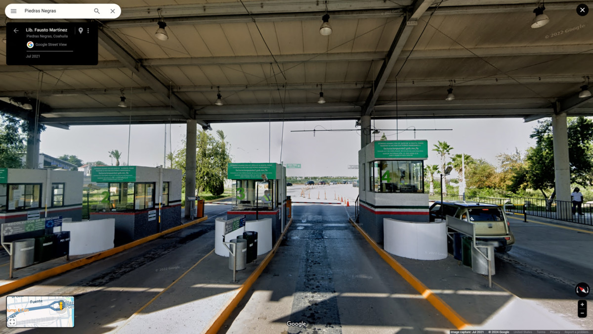
Piedras Negras Toll Plaza
Down in Piedras Negras, you gotta watch yourself; Theres a whole lotta hungry people, lookin to share some wealth
Aside from that brief mention in the song Safe Side, by James McMurtry, Piedras Negras is perhaps best known as the birthplace of the Nacho. For us, on that November day in 2015, it was simply the safest alternative for exiting Mexico, and returning to the U.S.A.
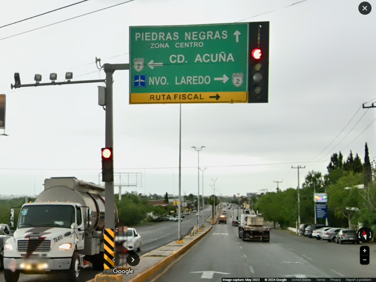
Piedras Negras Street Sign
When we first entered Mexico, 27 days earlier, we secured a Temporary Import Permit (a T.I.P.), which granted me permission to drive my foreign-plated vehicle beyond the free zone while traveling in Mexico as a tourist. To obtain the permit, I had to post a $400 cash bond, in the form of a $400 charge on my Visa credit card. You get that money back when you leave Mexico and cancel your T.I.P. They simply reverse the original charge.
If you fail to cancel your T.I.P. before leaving Mexico, youll lose more than just your $400 deposit. They will also cancel your insurance, and youll be prohibited from using the Temporary Import Permit program to bring any other vehicles into Mexico in the future.
Banjercito is the military bank that handles the permit fees and deposits for all vehicles imported under this program. I paid my $400 at their branch in Nuevo Laredo, with the understanding that Id be able to get my money refunded at any Banjercito branch that was within 50 miles of the border. As it happened, they had a branch right near the foot of the bridge in Piedras Negras, one of several government offices located in a distinctive round building.
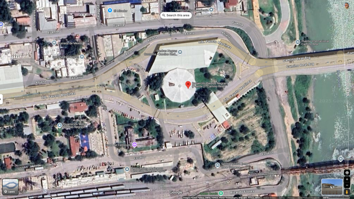
Signs directed me to park in a special lot off to the right, and there were additional signs identifying a sidewalk leading to the building entrance. There were just two people ahead of us, so we only had to wait about five minutes. That was quite a difference from our experience in Nuevo Laredo, where lines were long, and every aspect of the process took forever.
A young woman seated at a desk reviewed my paperwork, then accompanied me outside to where my Jeep was parked. She double-checked the V.I.N. # of my vehicle, and then she scraped off the window decal, using a razor blade scraper. Back inside the building, she ran my credit card to reverse the charge on my $400 depositand that was that. She wished us a Buen viaje, and we were free to leave.
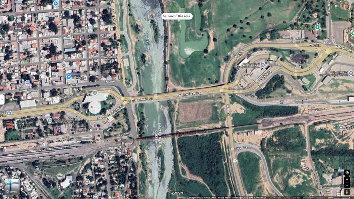
Satellite view of the bridge over the Rio Grande at Piedras Negras, Coahuila
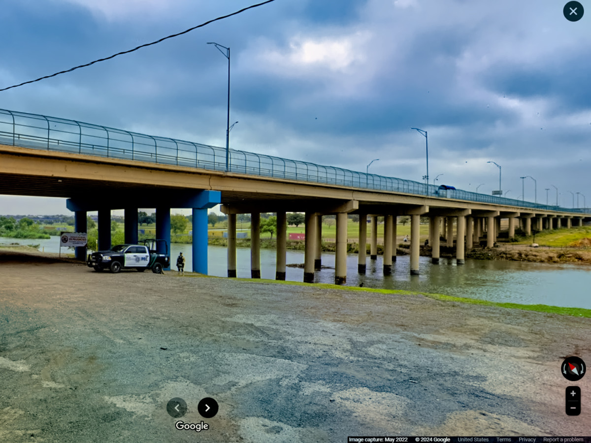
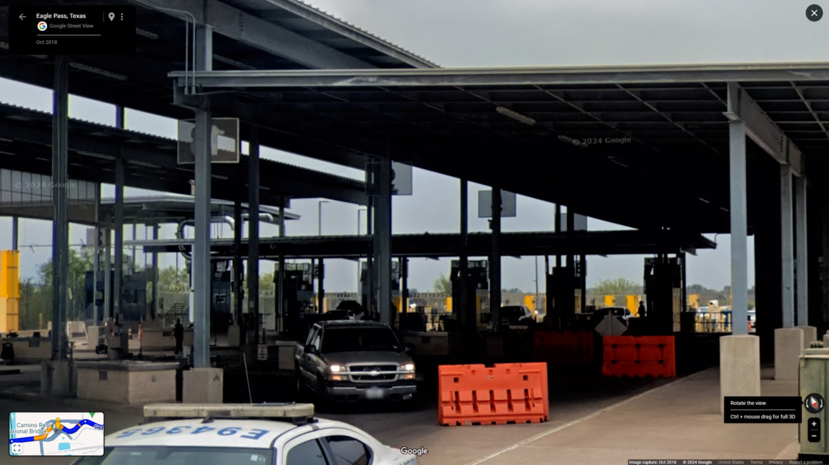
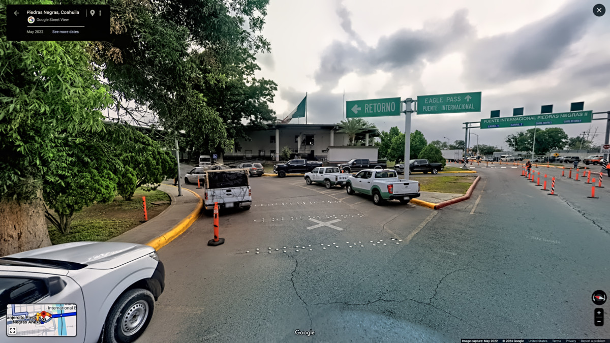
Customs Inspection, Eagle Pass. Texas
There was no reason to delay any further, so we followed the signs toward Eagle Pass. A short bridge crossed the river (the storied Rio Grande), and led directly to the Inspection lanes for U.S. Customs and Border Patrol. We presented our passports to an inspector in a glass booth, and answered a few questions about where wed been. All I had to declare was a hat and a T-shirt, Mike had the same, plus a few Day of the Dead souvenirs. The guy in the booth said, Welcome back to the U.S., and waved us on, without even bothering to check our luggage, much less any of the hidden spaces in my vehicle.
Eagle Pass was a quiet little border town when we passed through it, but that was ten years ago, all the way back in 2015. More recently, Eagle Pass became synonymous with the worst aspects of the migrant crisis on our southern border. Thousands of people were crossing the river here every single day, creating an unprecedented humanitarian crisis on both sides of the border, straining local resources to the breaking point. In the last six months or so, those numbers have dropped to less than 5o people per day, a historic low, largely the result of policy changes and agressive enforcement.
We still had a four hour drive ahead of us, so we gassed up the Jeep (self service, naturally), ate fast-food hamburgers, and hit the road. We made it to Austin just in time to meet some friends for dinner. (Pizza, as I recall), and the next morning, I dropped Mike at the airport, in plenty of time to catch his flight.
**************************************
Mike and I had a blast on our Mexican Road Trip. Sure, there was the Officer Plata incident and the Zapatistas, and dozens of minor aggravations, but there were also fourteen sets of Mayan ruins, fabulous festivals in Merida and San Miguel, colonial cities galore, and all those wonderful mountain roads. Any regrets? Maybe one or two, but if I was ever given the chance, Id do it all again, without a moments hesitation.
I hope youve enjoyed reading about my Mexican Road Trip (and all those many hundreds of photographs!) The trip took place almost ten years ago, but Ive done my best to make sure that the travel advice I presented is updated and current, especially as regards security. Some of the places we traveled to, like Bonampak and certain other parts of Chiapas, are no longer considered safe, while others, like the border state of Coahuila, are actually safer than they were in 2015. Cartel dominated areas, like Sinaloa, Michoacan, and certain parts of the Pacific coast are still best left off your itinerary.
If youre the adventurous sort, and if what youve seen in this thread appeals to you, then by all means, you should consider a Mexican Road Trip. A compromise alternative to the lengthy trip I took would be a flight to Cancun, Merida, or San Miguel de Allende, along with a rental car for the highway travel. Any way you do it, Mexican Road Trips are amazing. If you do decide to go for it, by all means, keep us informed, and let us know how it went!


 Reply With Quote