SAN CRISTOBAL DE LAS CASAS
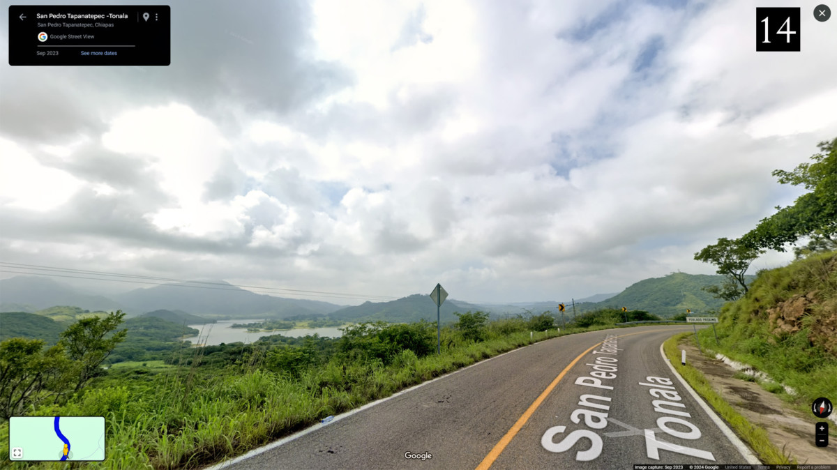
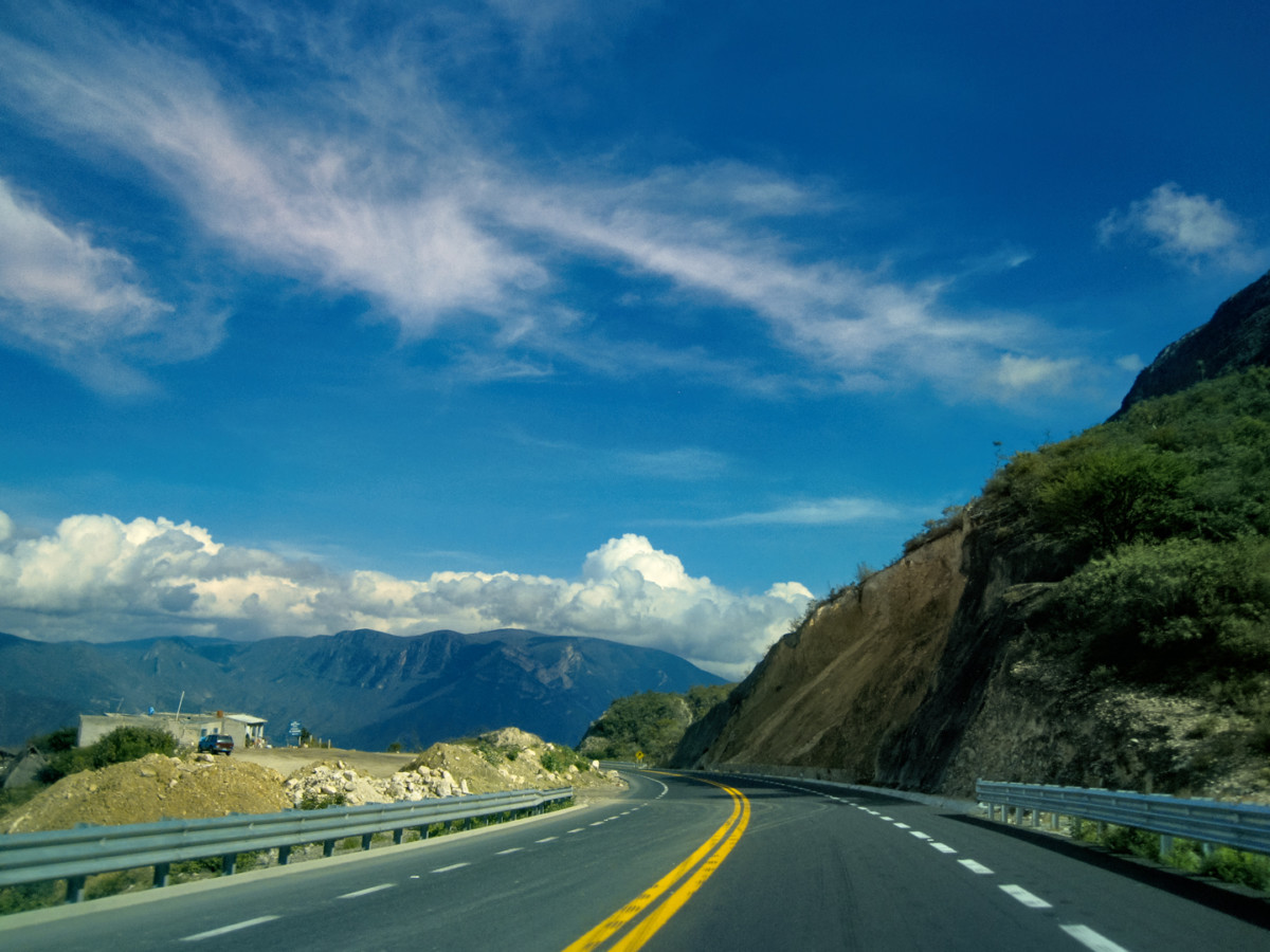
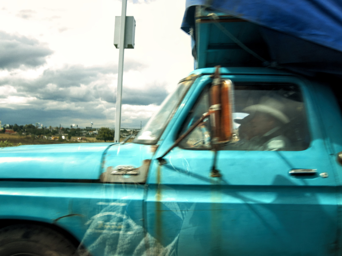
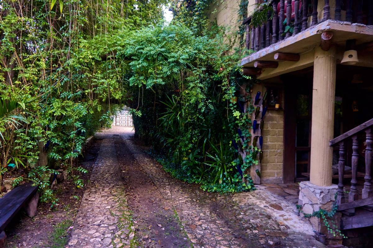
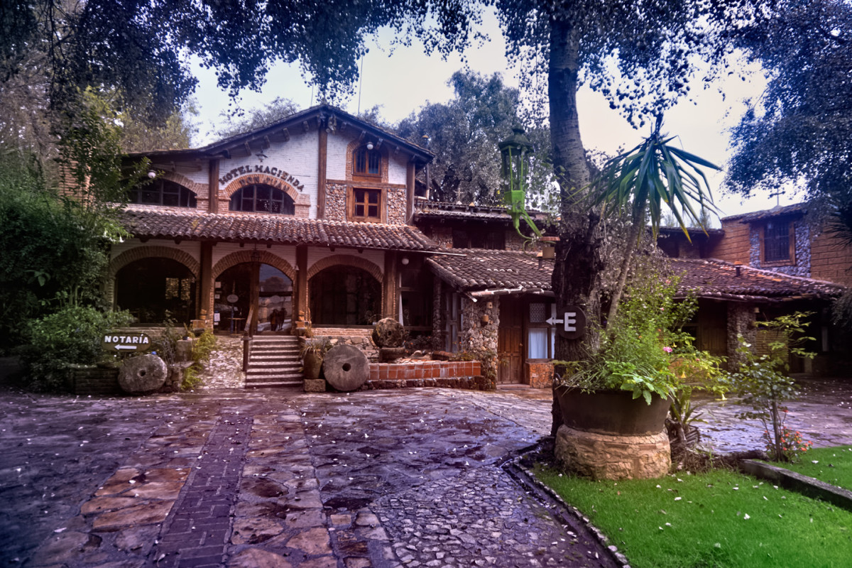
We entered the maze of narrow, mostly one-way streets, with rain falling steadily, and no clue where we were, or where we were going. Id reserved us a hotel room through Expedia.Mx, a place called the Hotel Hacienda Don Juan. It sounded terrific on the website, but it was NOT in the center of town with the rest of the hotels, so finding it proved quite a challenge. We programmed the address into Mikes phone and started following the turn-by-turn instructions. If wed used the GPS from the beginning, it would have been easy, but starting where we did, Google had us driving down narrow alleys and over tiny one-way bridges intended for horse carts and pedestrians. I assumed the GPS had malfunctioned, because there was no way in the world the route wed just followed was going to lead us anywhere but lost. We popped out of another alley and onto a main street, and, much to my surprise, there it was!
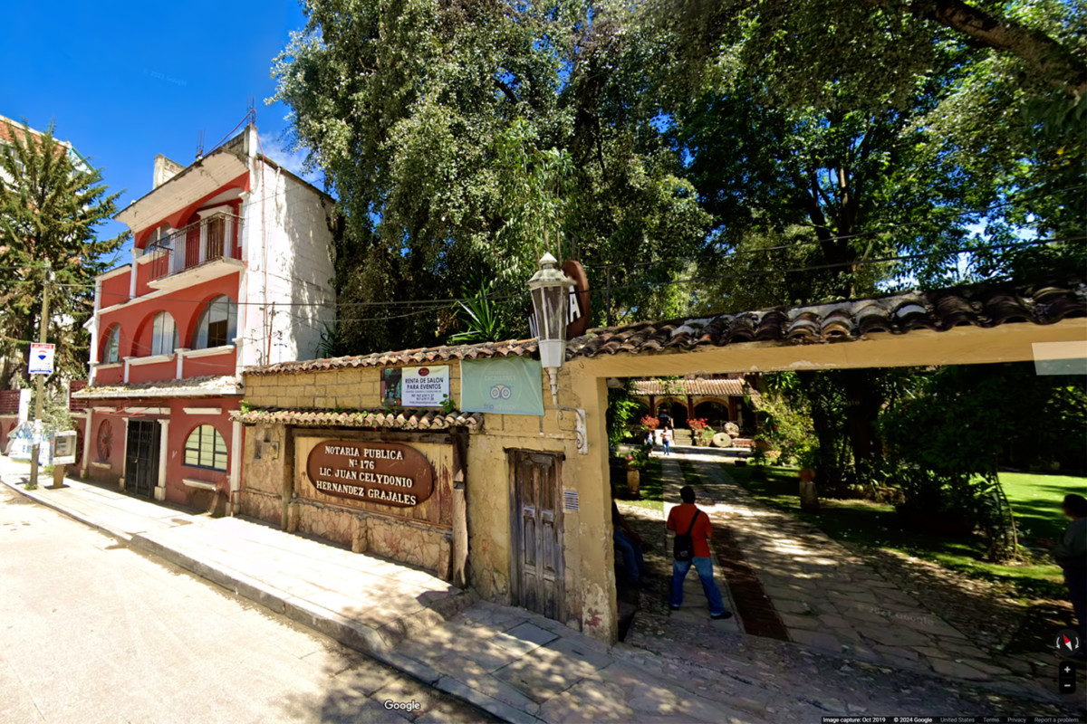
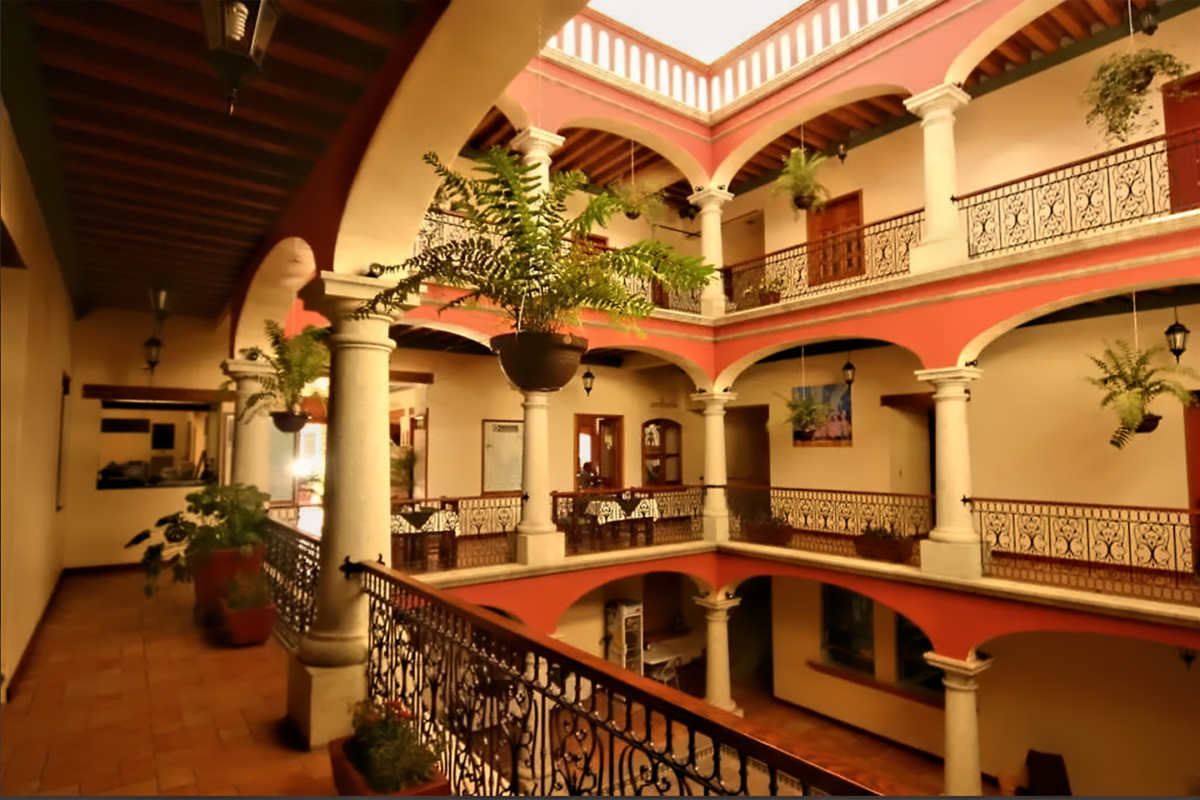
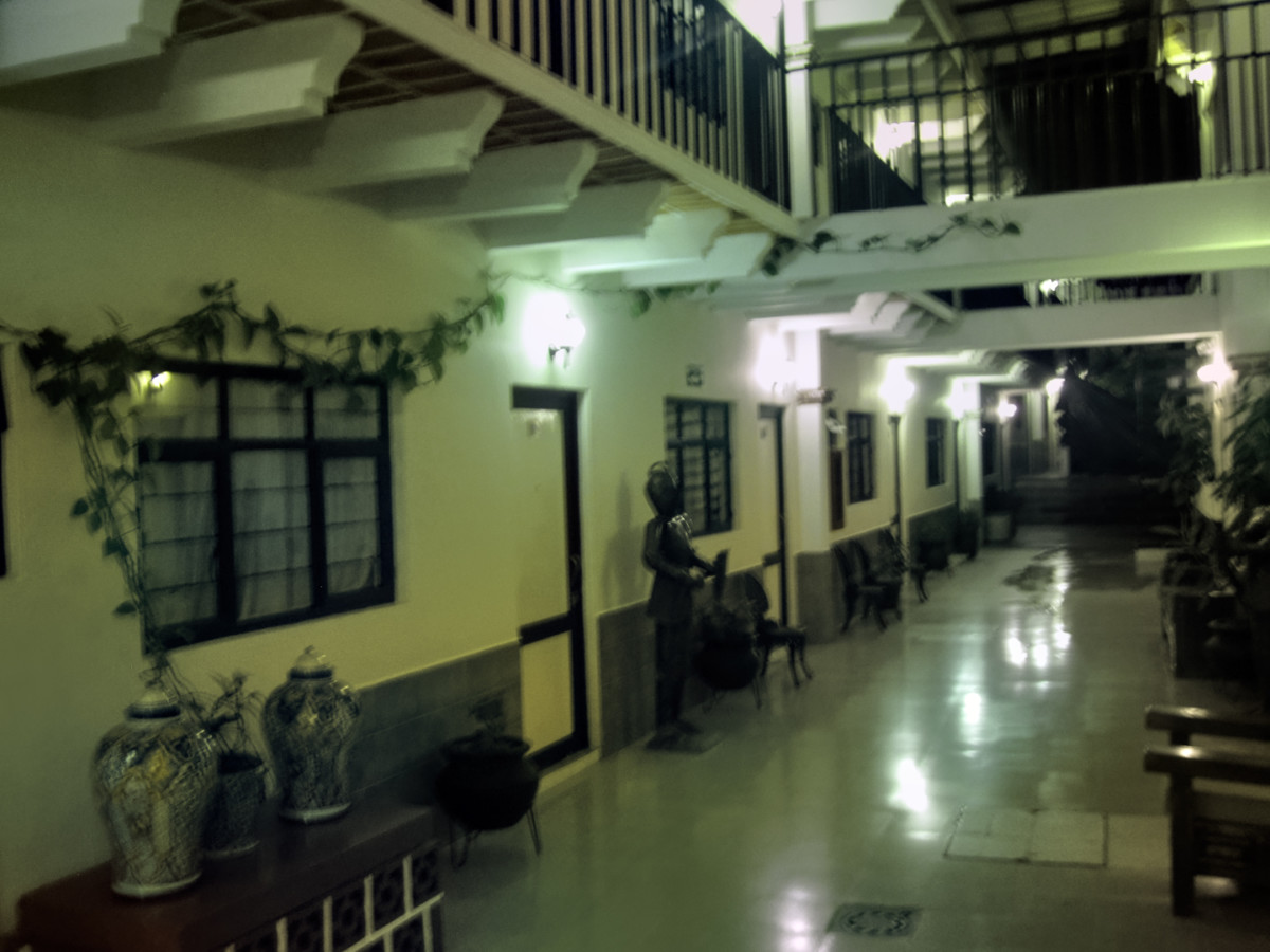
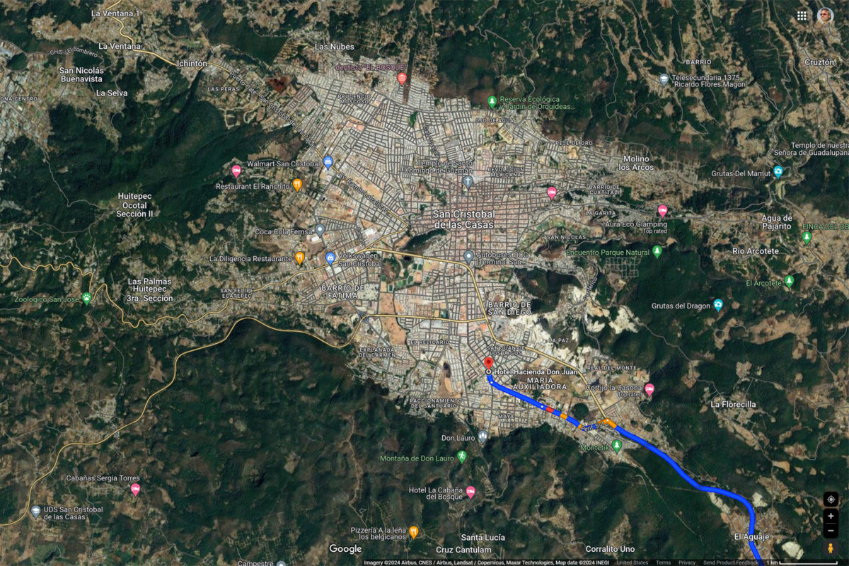
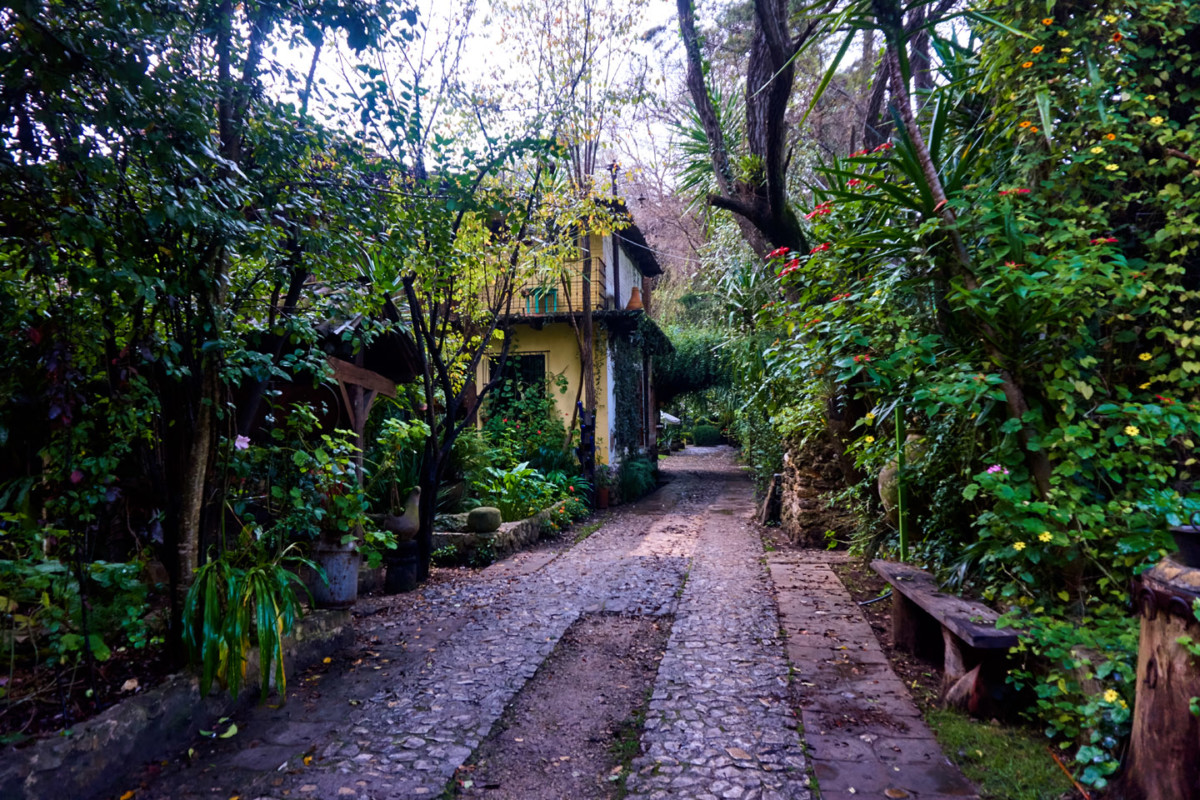
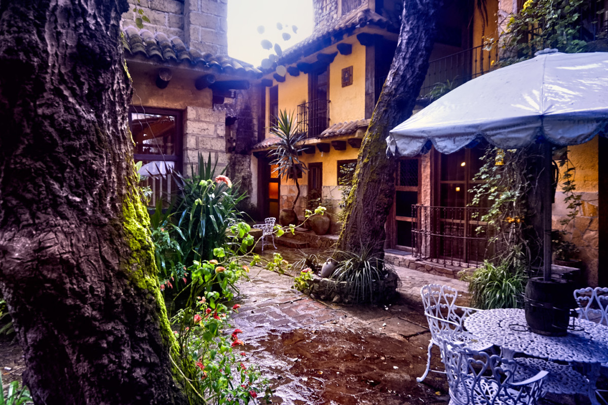
The grounds of the hotel were surrounded by a wall, so all you could see from the street was a long cobblestone drive through a tunnel of trees, leading back to a lushly landscaped courtyard. Still not quite believing that this was really the right spot, we drove in, and checked in, to what was probably the coolest hotel of our whole trip.
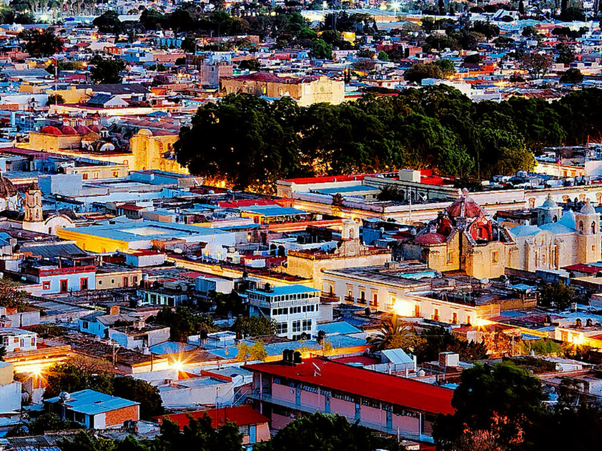
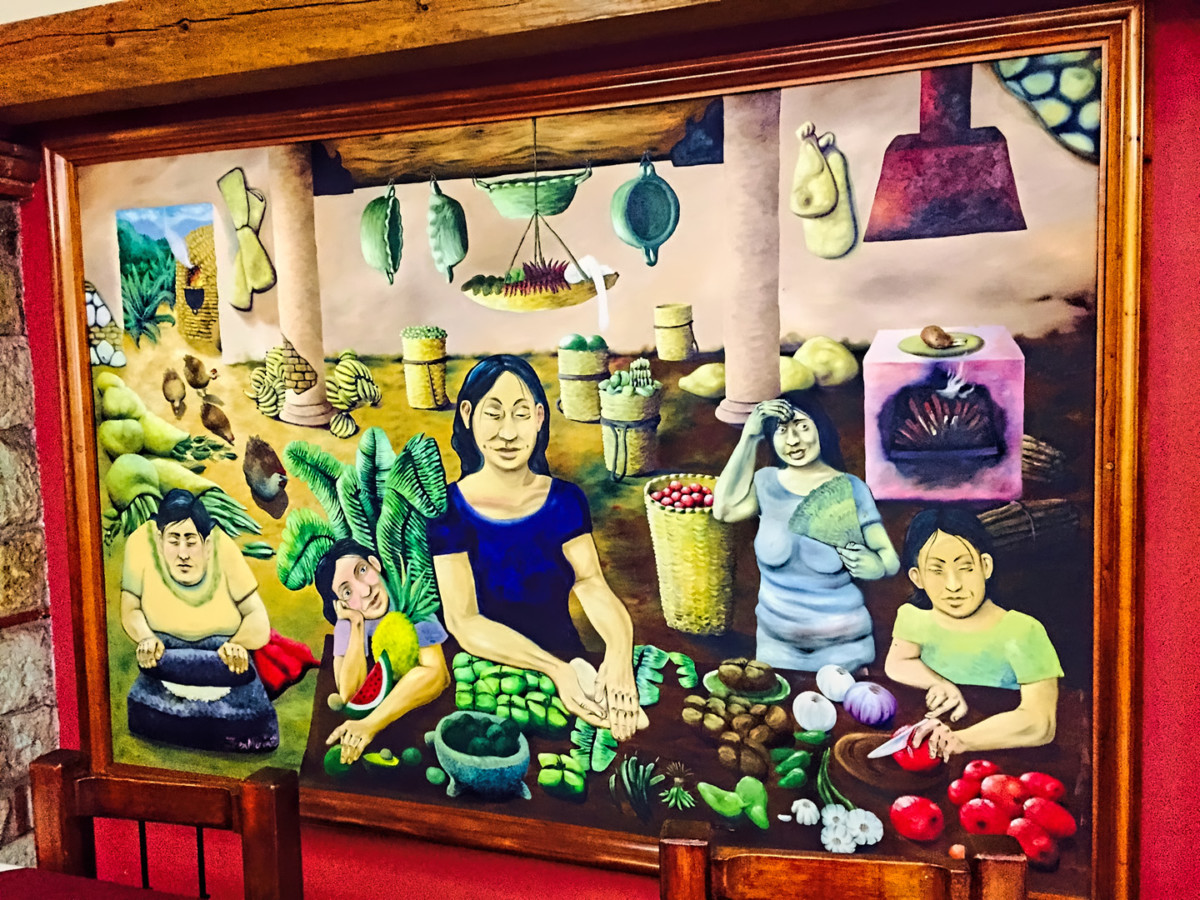
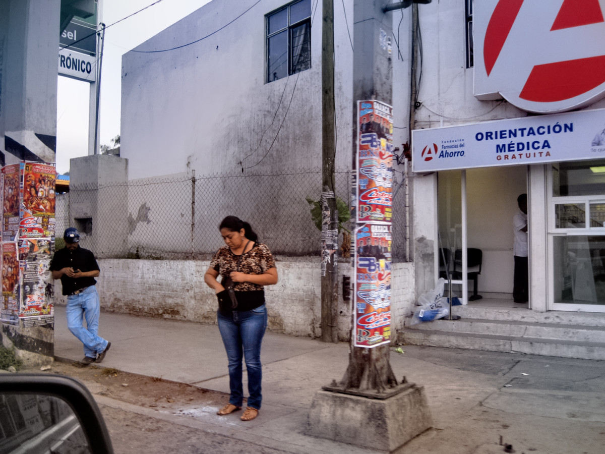
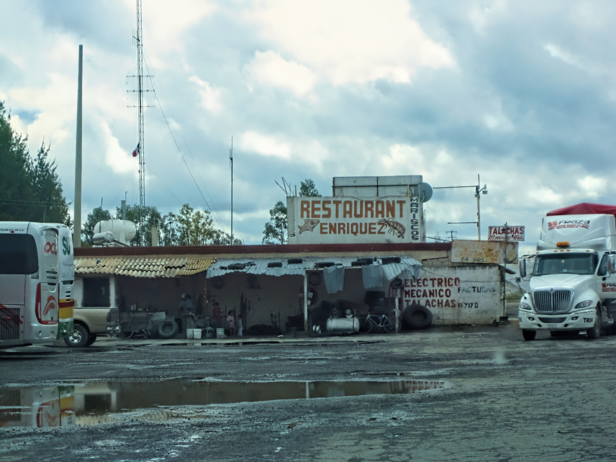
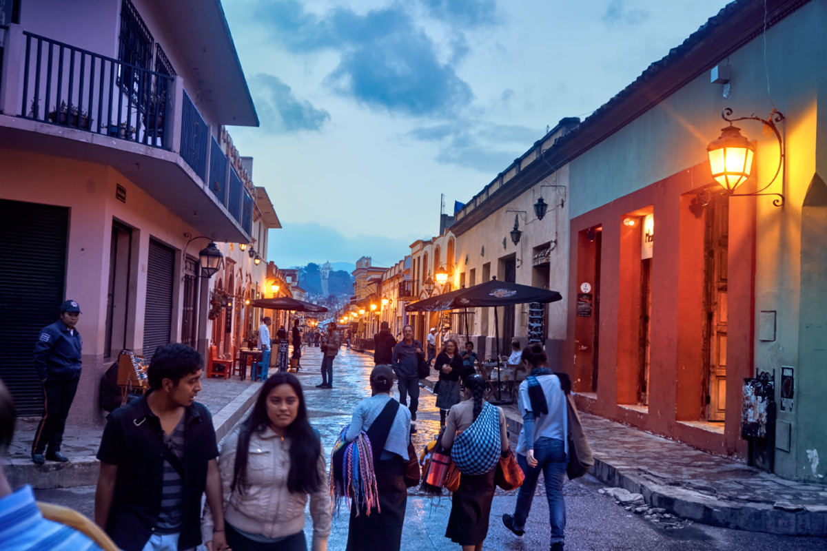
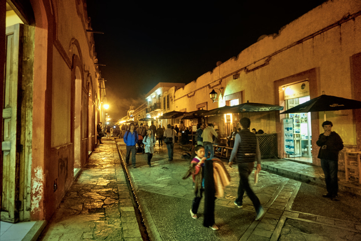
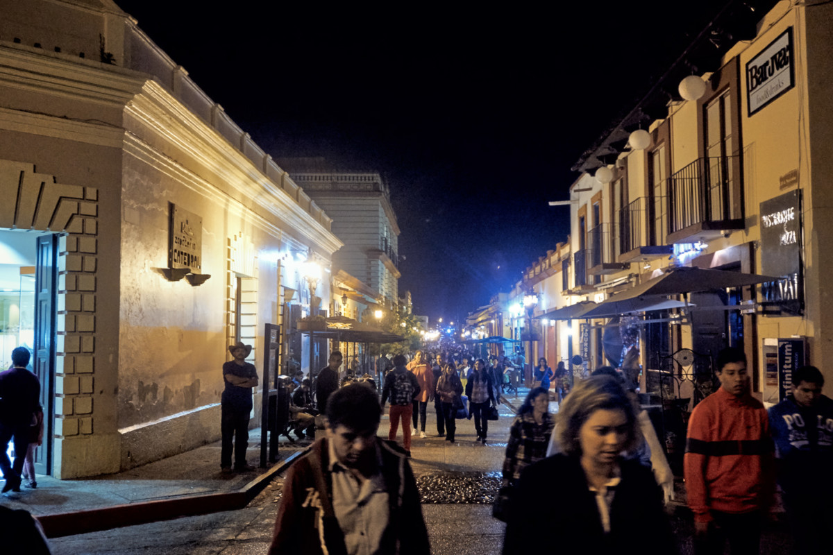
We didnt have a lot of time in San Cristobal de las Casas. We arrived in late afternoon, and we were going to have to leave first thing the next morning. Our whole visit was compressed into a single quite wonderful evening, wandering the cobblestone streets between storefronts of buildings that were hundreds of years old. Many were restored and newly painted, mostly earth tones, rather than the muted pastels wed so admired in Campeche. The local folk were mostly indigenous, with roots in this region going back countless generations, but its important to note that most of the people we saw on the street that night didnt appear to be locals. They were visitors, just like us, most of them Chilangos, a disparaging term for people from the D.F. (Mexico City). There were college kids in jeans and jackets, on holiday from their studies, as well as backpacker types from Europe and Asia, all checking out the scene. Mexican President Felipe Calderon declared San Cristobal de las Casas to be Lo mas Magico de los Pueblos Magicos! (The most Magical of the Magical Towns!) Thats quite a distinctive honor, when you consider the fact that there are no less than 177 cities and towns in Mexico that have earned the designation of Pueblo Magico, an honor bestowed by the Mexican Government, for the purpose of preserving cultural heritageand promoting tourism.
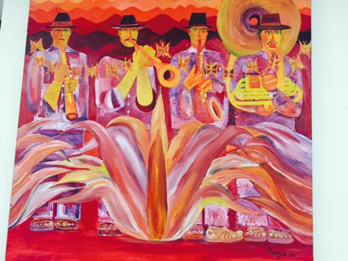
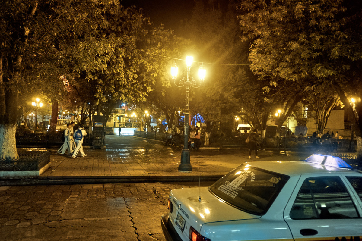
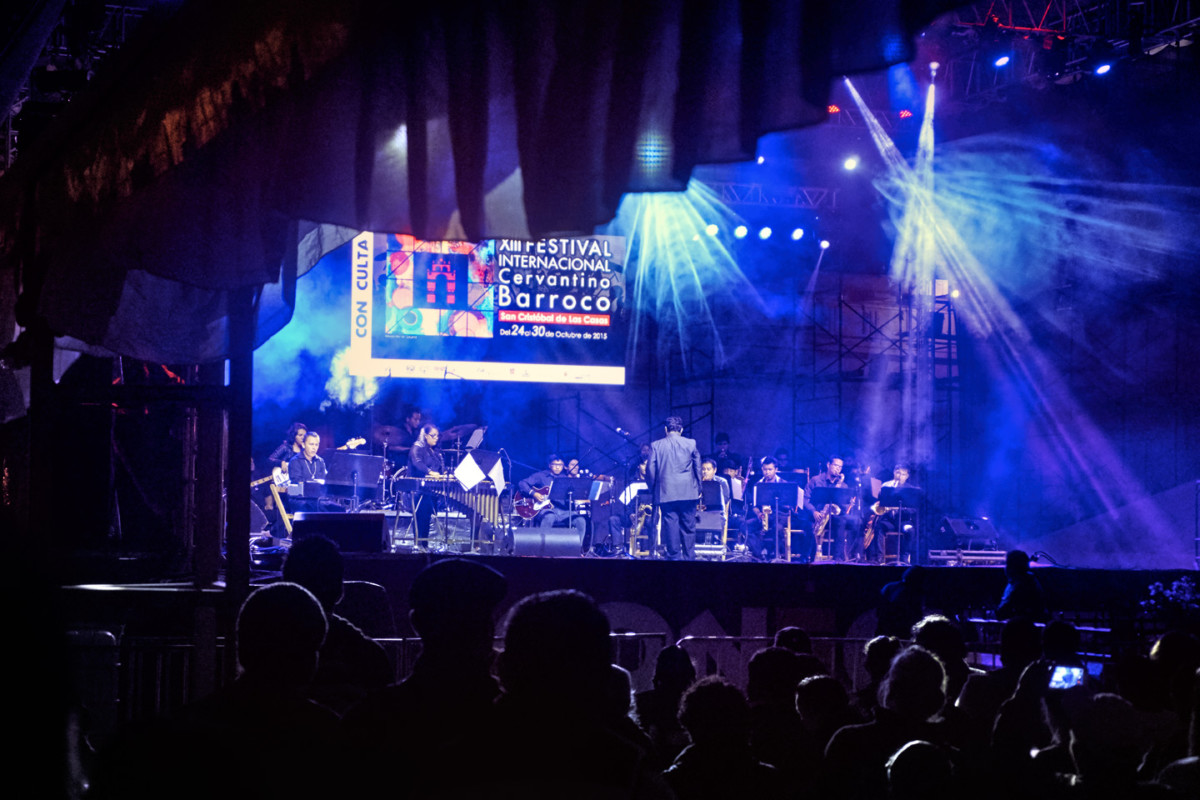
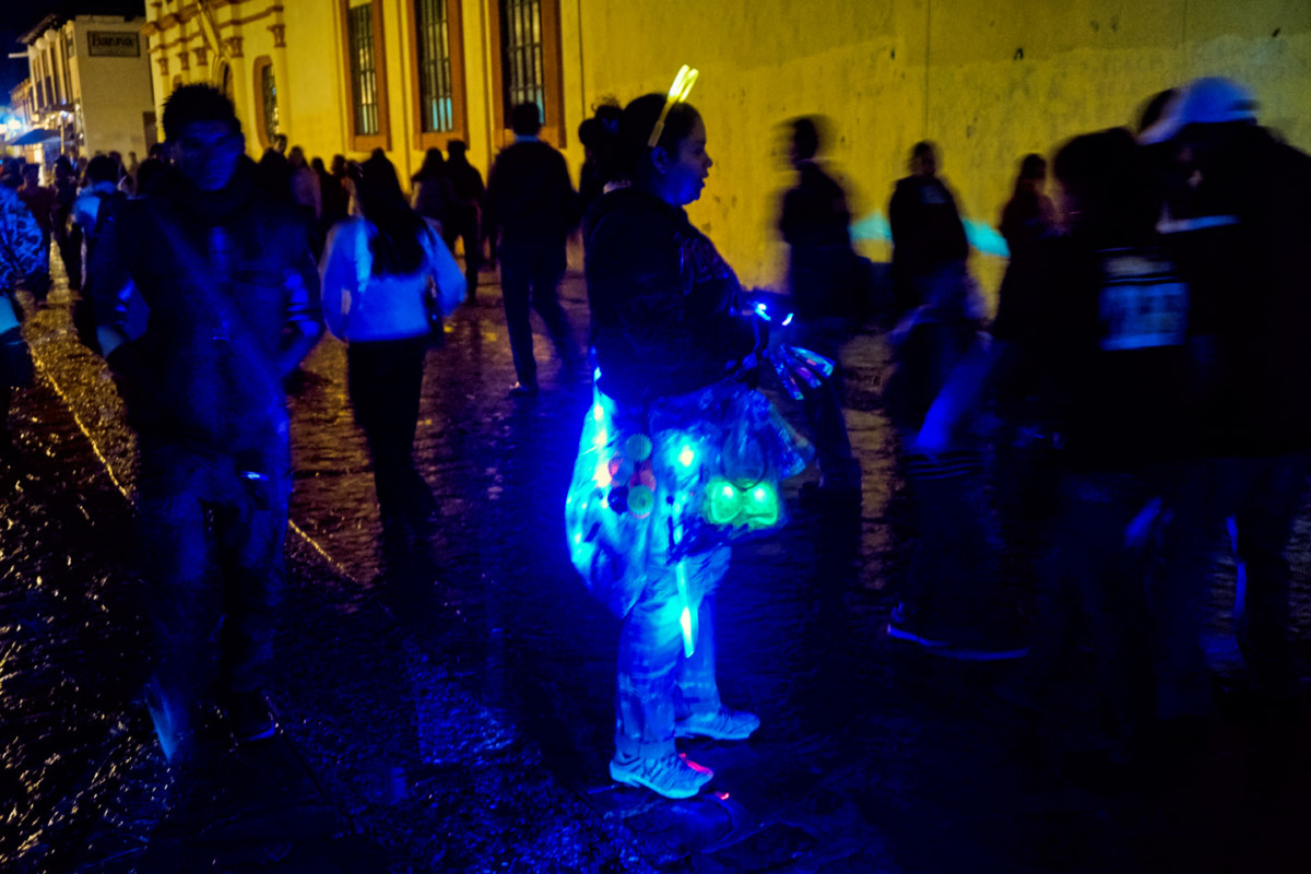
An evening spent in one of Mexicos Colonial Cities always seems to include some sort of celebration in the main plaza. In San Cristobal de las Casas, they put on a concert, featuring a local orchestra playing both classical and contemporary instrumentals. The conductor waslets just say he was enthusiastic, and his musicians, of varying skill levels, did their best to keep up with him. The night was crisp and cool, the crowd respectful, applauding in all the right places. Colored spotlights lit the stage, and photo-luminescent plastic necklaces lit the faces in the audience with a ghostly blue glow.
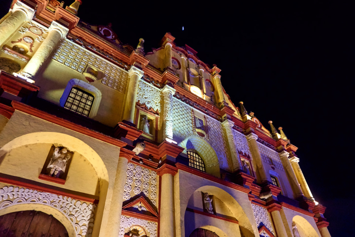
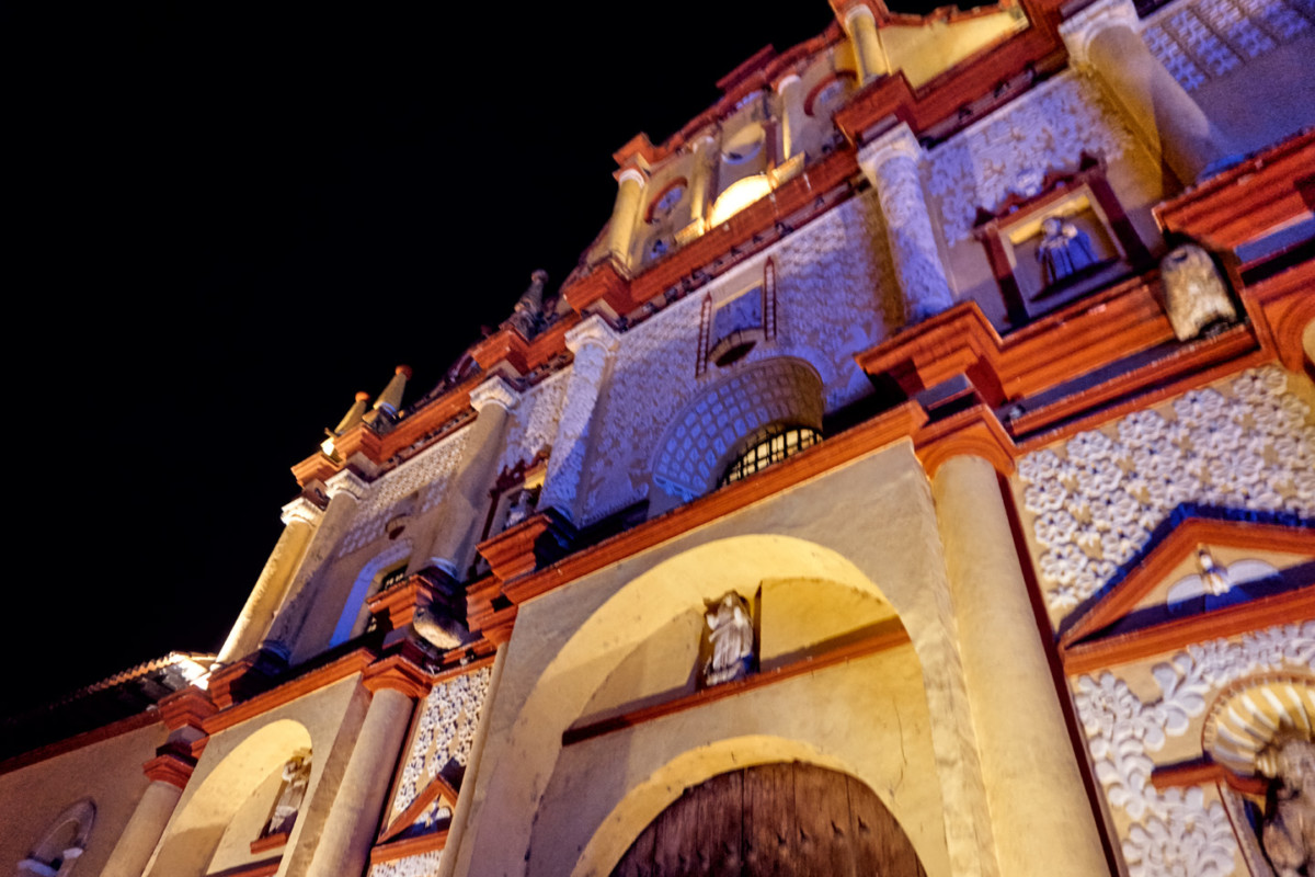
Like every Spanish Colonial City in Mexico, San Cristobal de las Casas has a centuries-old cathedral that fronts on the main plaza, in this case, the Cathedral of San Cristobal Martir. Construction started in 1528, making it one of the oldest churches in Mexico. Theres a simple elegance to the buildings facade, painted pale yellow (and in need of a fresh coat)!
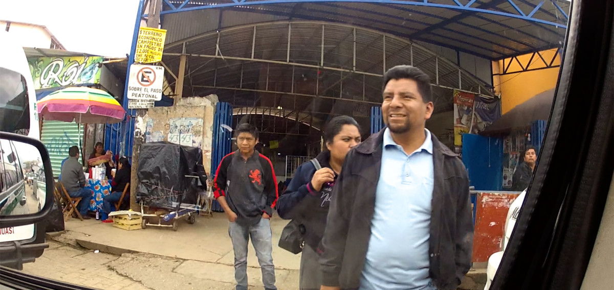
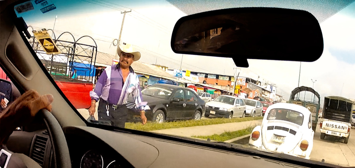
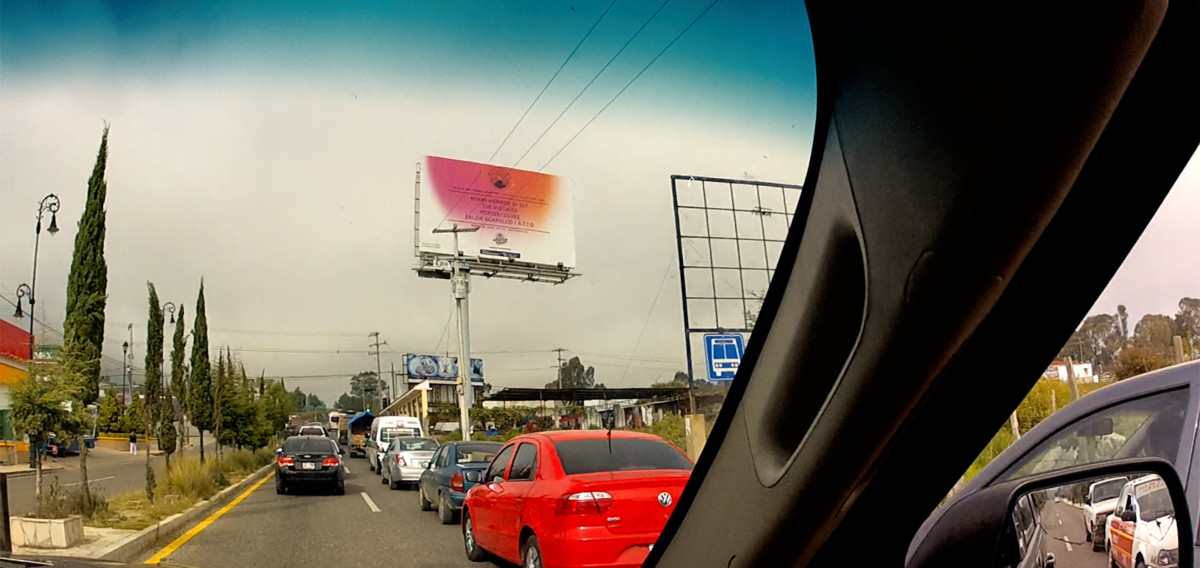
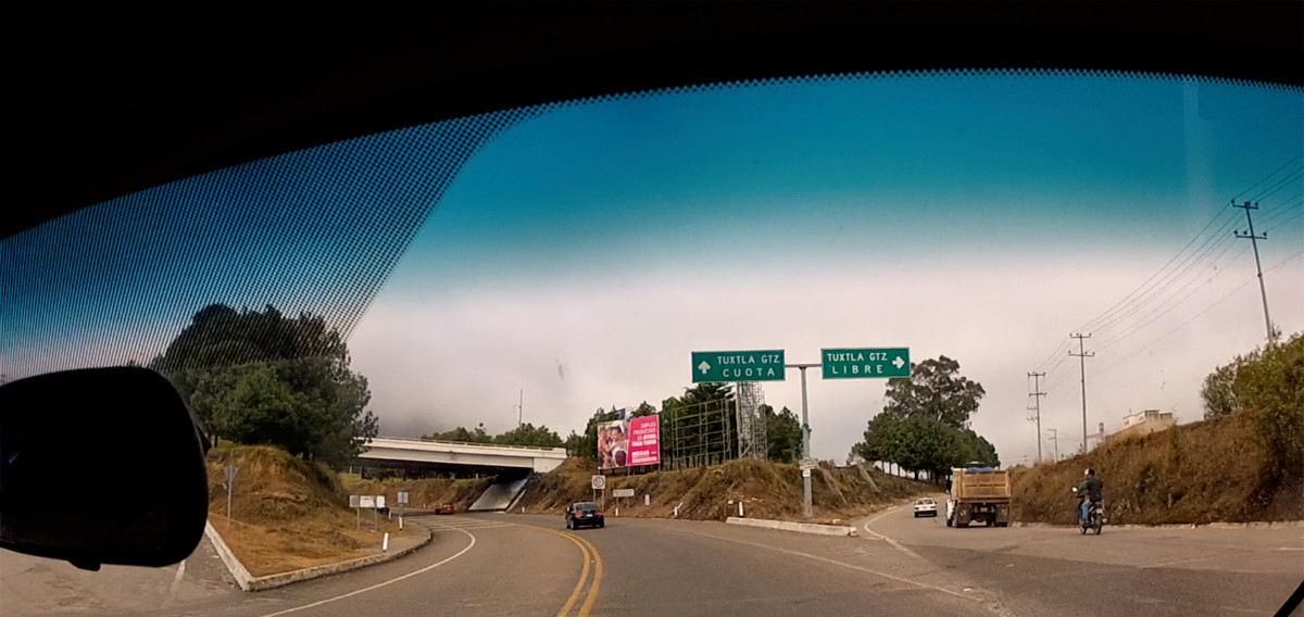
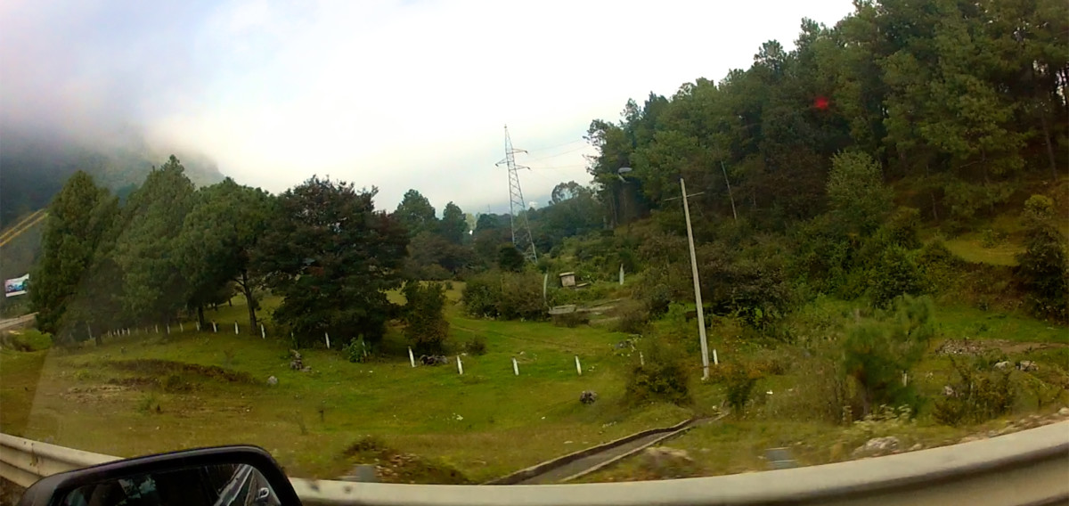
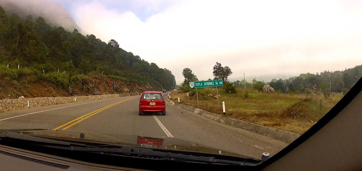
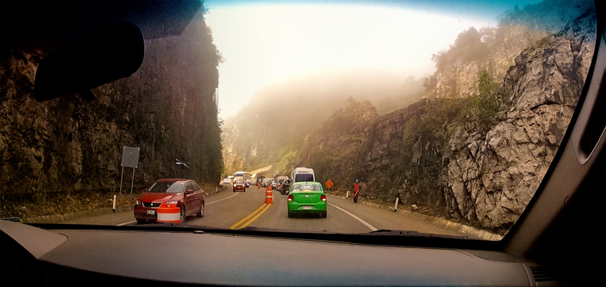
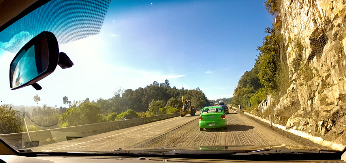
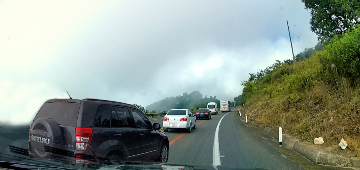
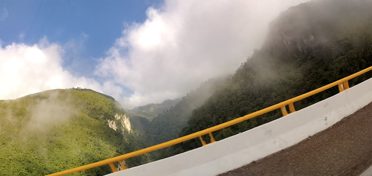
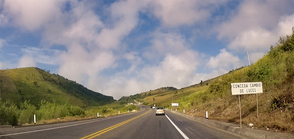
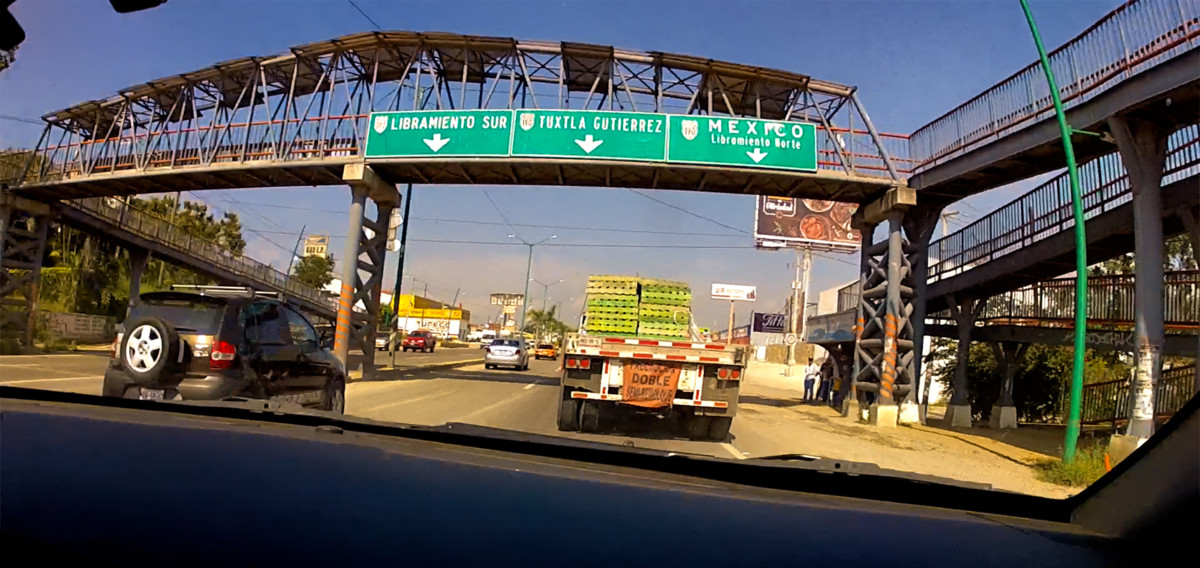
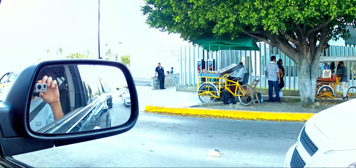
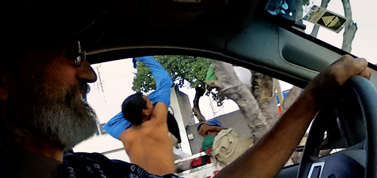
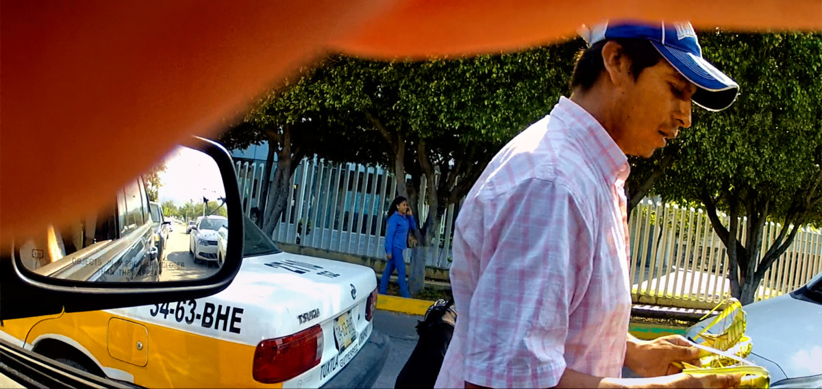
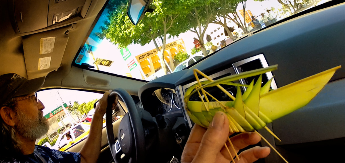
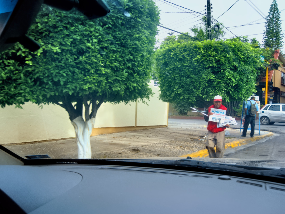
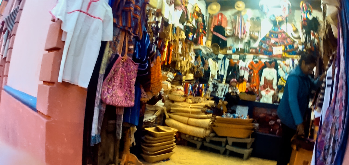
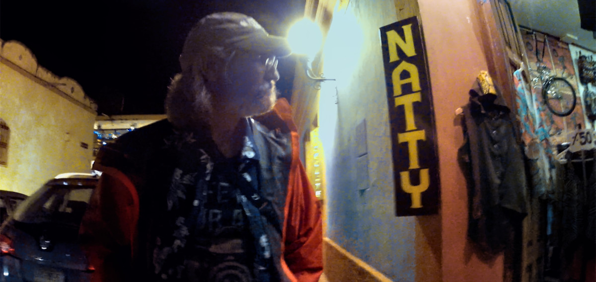
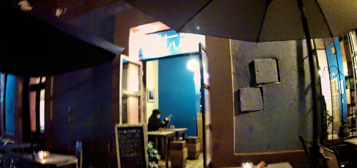
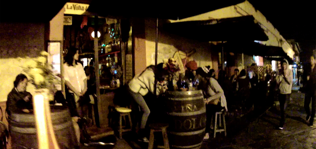
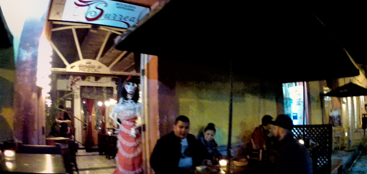
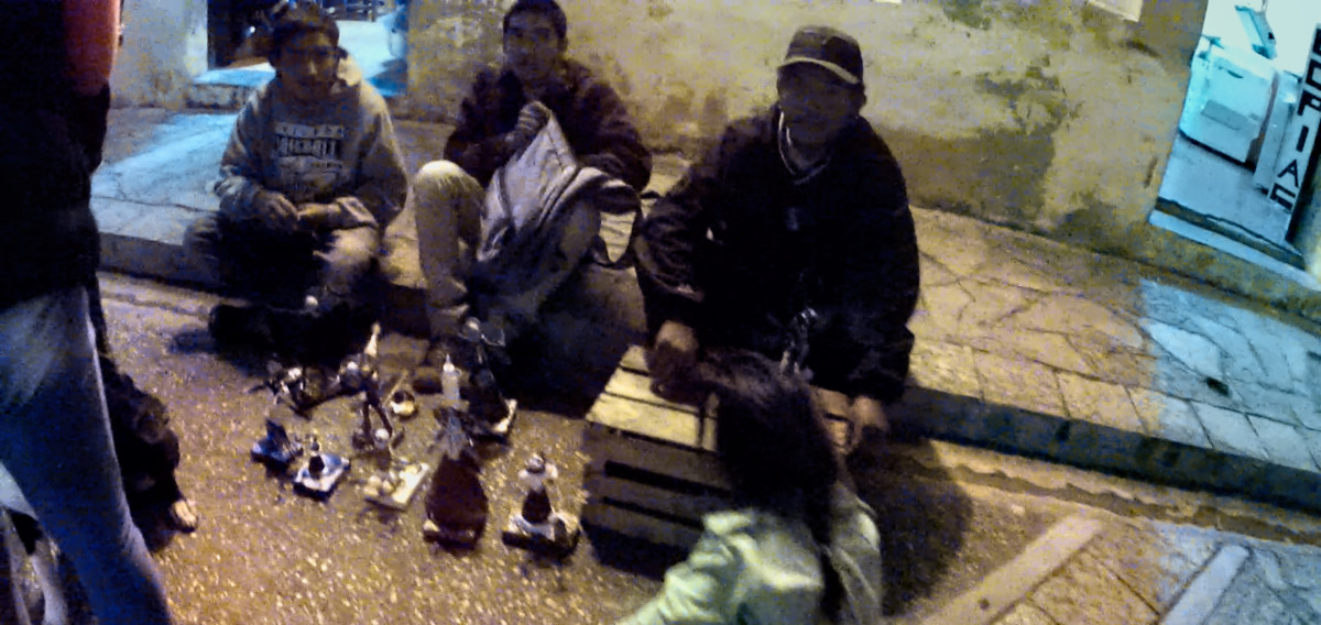
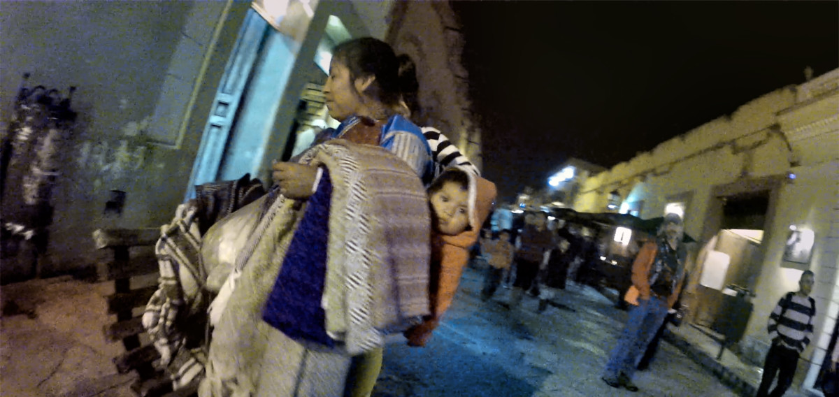
Mike was constantly shooting video with his GoPro camera, so I made a project out of reviewing those clips and capturing screen shots of anything interesting. The resulting images are a little blurry, and often at strange angles, but theyre fun to see. Here are a few from our evening in San Cristobal de las Casas:
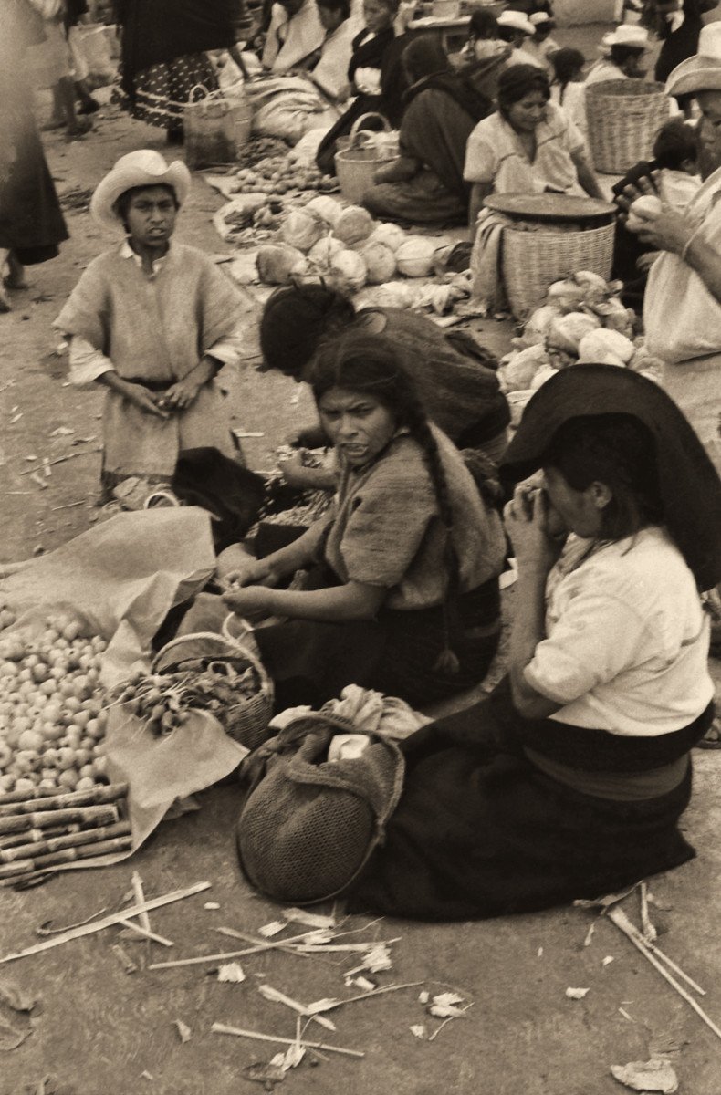
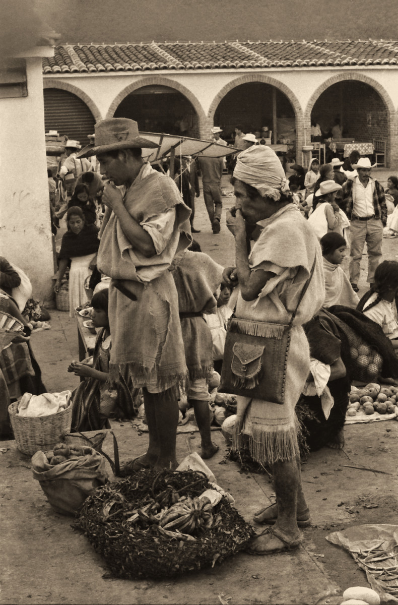
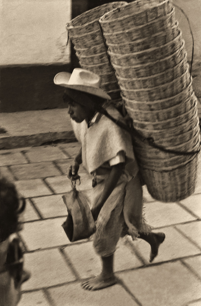
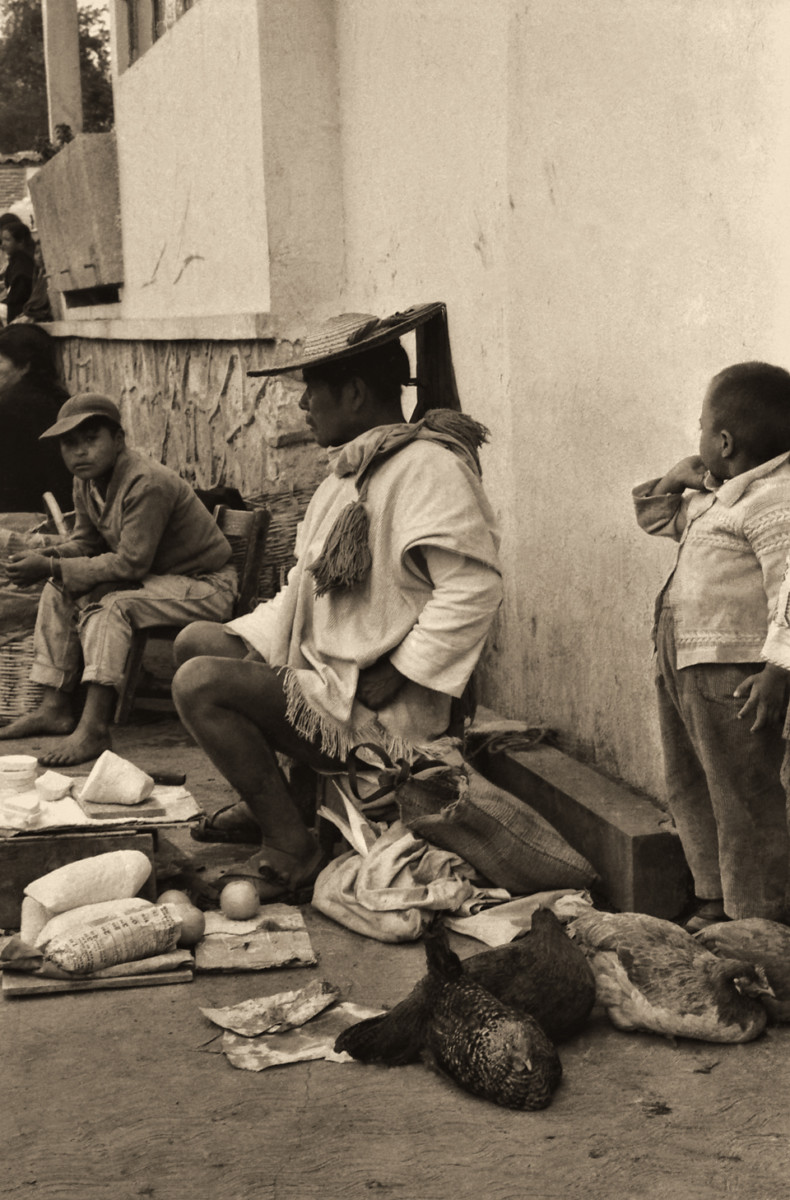
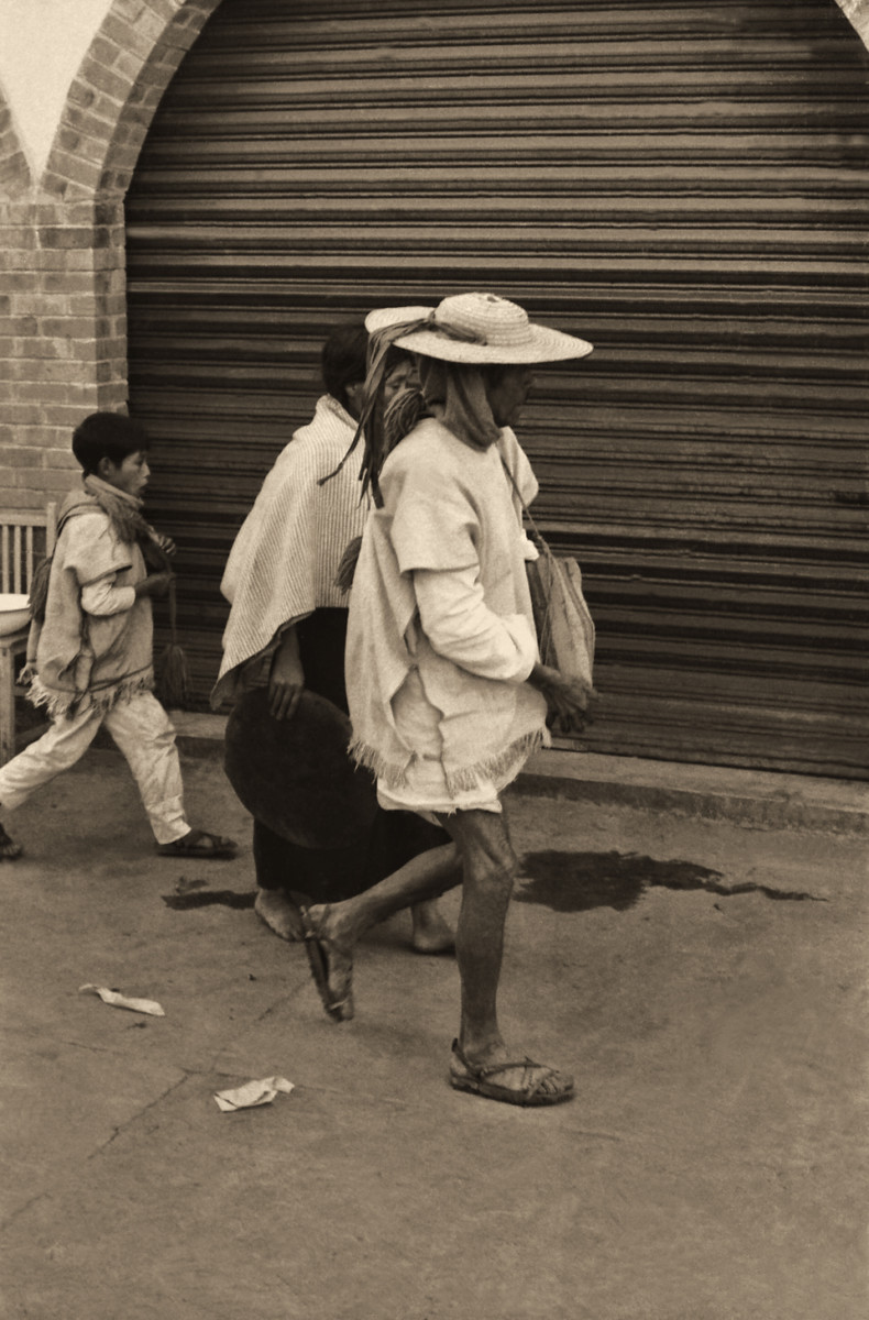
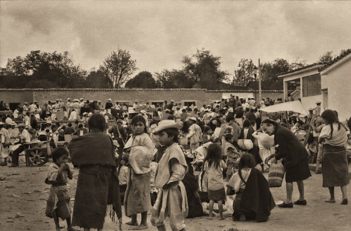
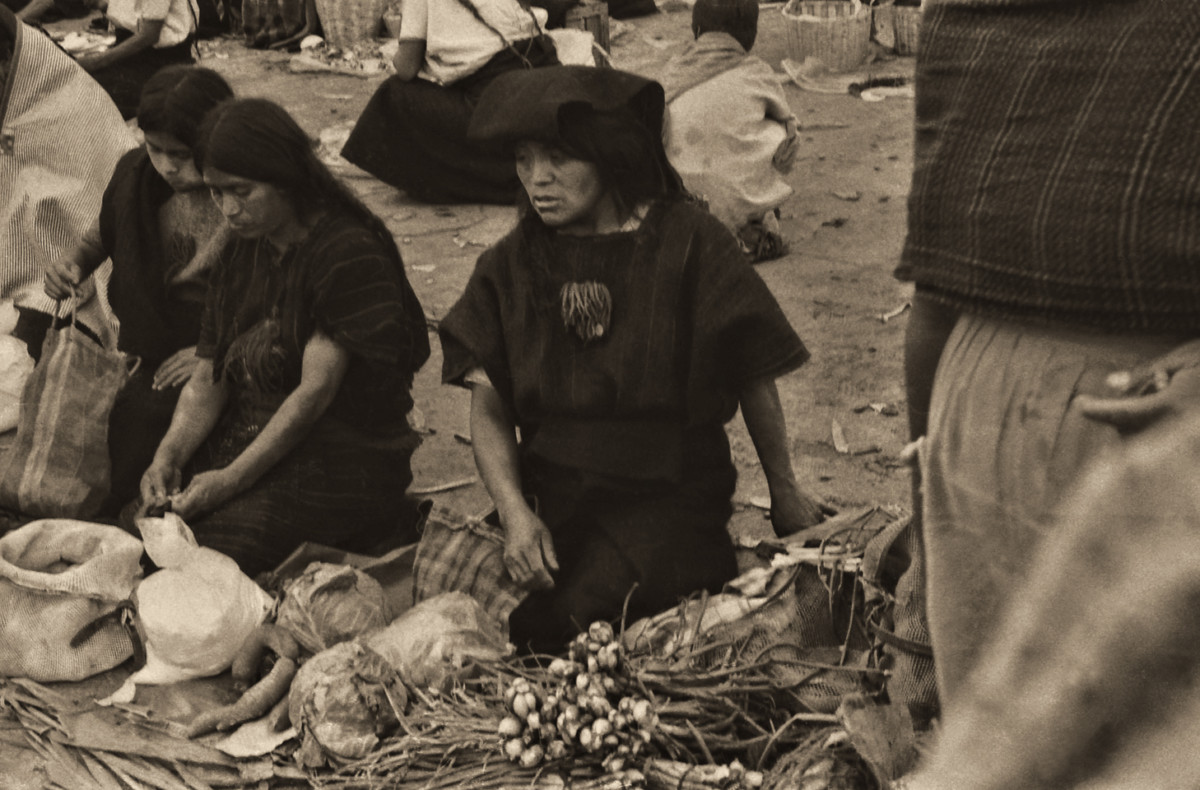
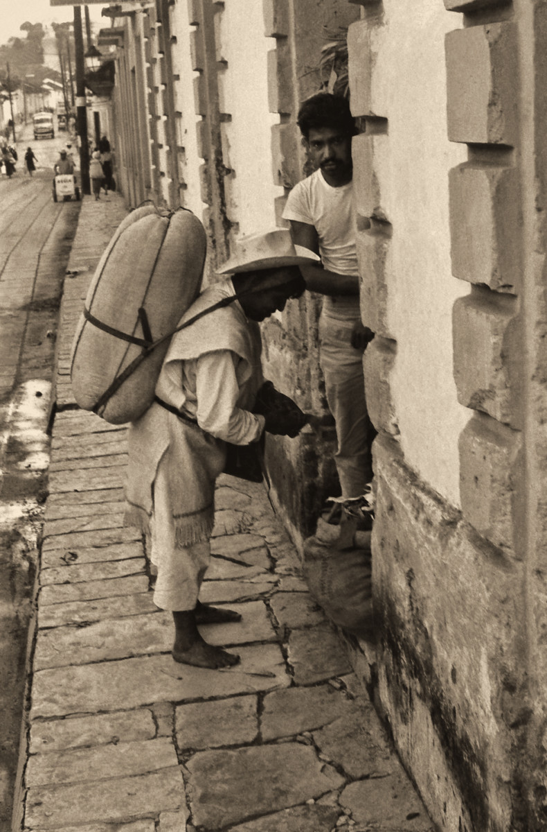
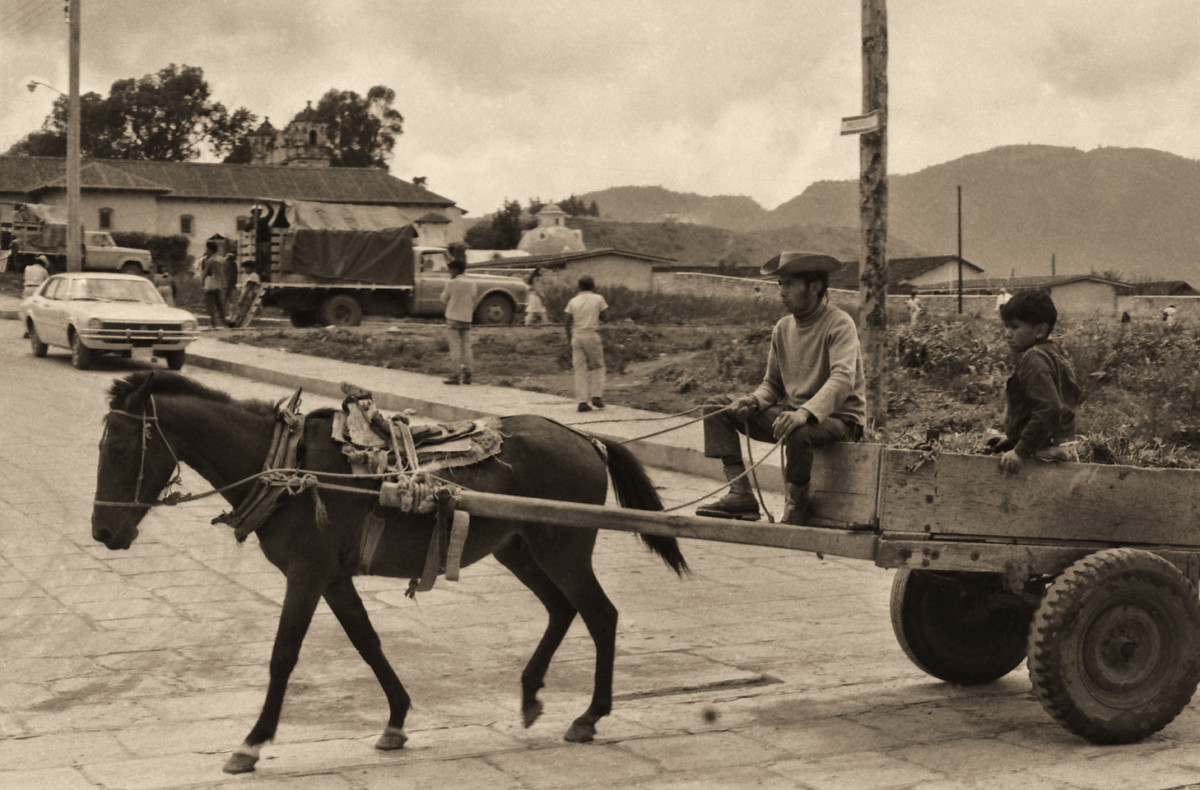
San Cristobal de las Casas in 1971
Original Photographs by Carl Duisberg
My good friend Carl Duisberg has been a world traveler almost as long as Ive known him, and Ive known him since we were both kids in school. I recently helped Carl resurrect two dozen rolls of black and white film from some of his early travels, negatives that had been packed away for half a century and essentially forgotten. No prints were made when the film was processed, all those years ago, so when I scanned and edited the images, I brought wonderful photos to life that had never been seen before.
One of those rolls of film was shot in San Cristobal de las Casas, more than fifty years ago, and Carl has graciously agreed to share them here. Viewing these old photos, its apparent how much has changed in what was, at that time, a primarily indigenous community. In 1971, the modern world has barely intruded on this charming Colonial City in the mountains of Chiapas.
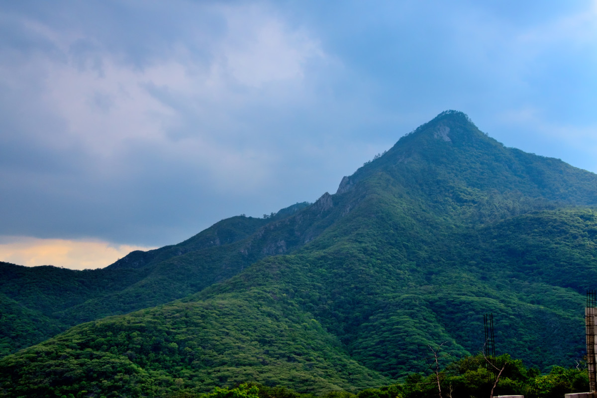
All in all, we sincerely enjoyed our brief visit to San Cristobal de las Casas. During my years in South America (back in the early 1970s) I spent quite a lot of time in cities and towns surrounded by tropical mountains much like these, with cool climate, predominantly Indian populations, and Spanish Colonial buildings. Walking those streets felt like deja vu, even though I knew perfectly well Id never been there before. It was the atmosphere, and the chilly evening, and the scenery, all of it together stirring fond memories dating back many decades.
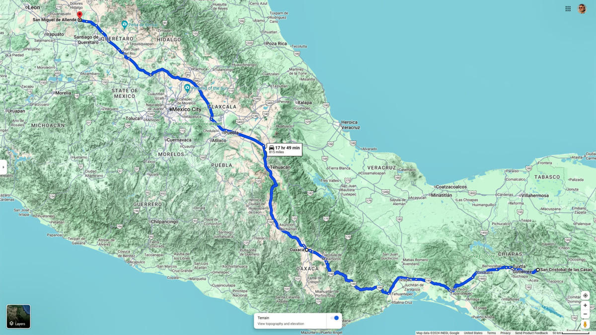
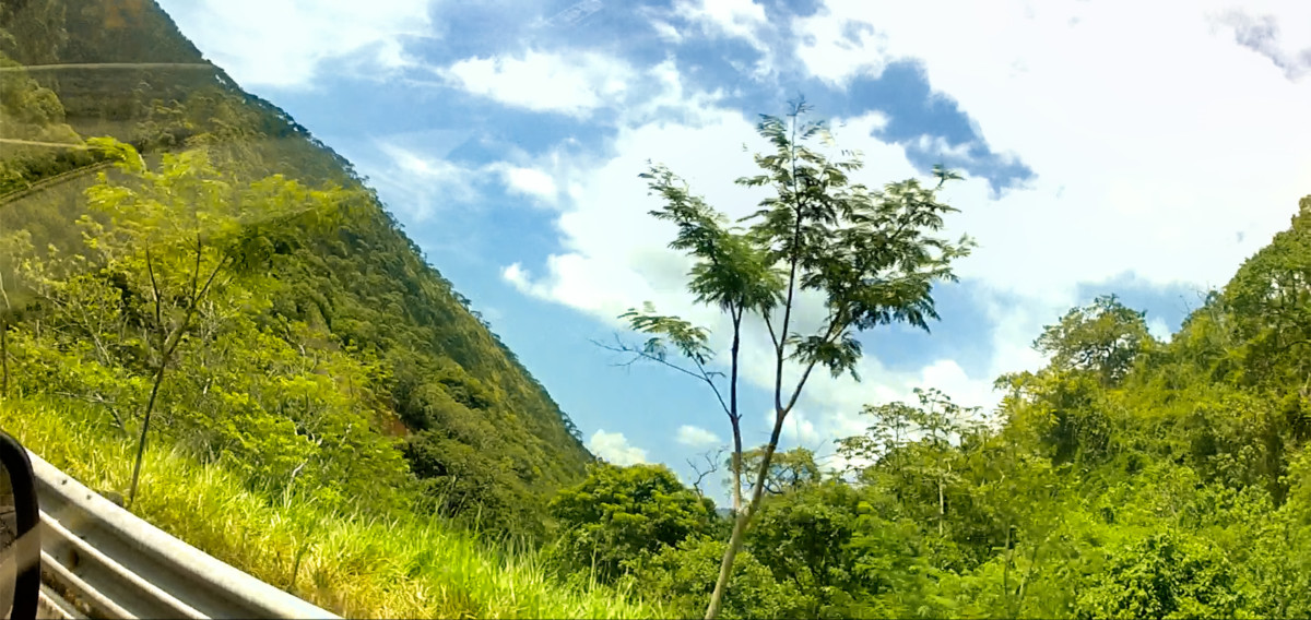
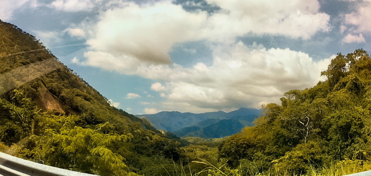
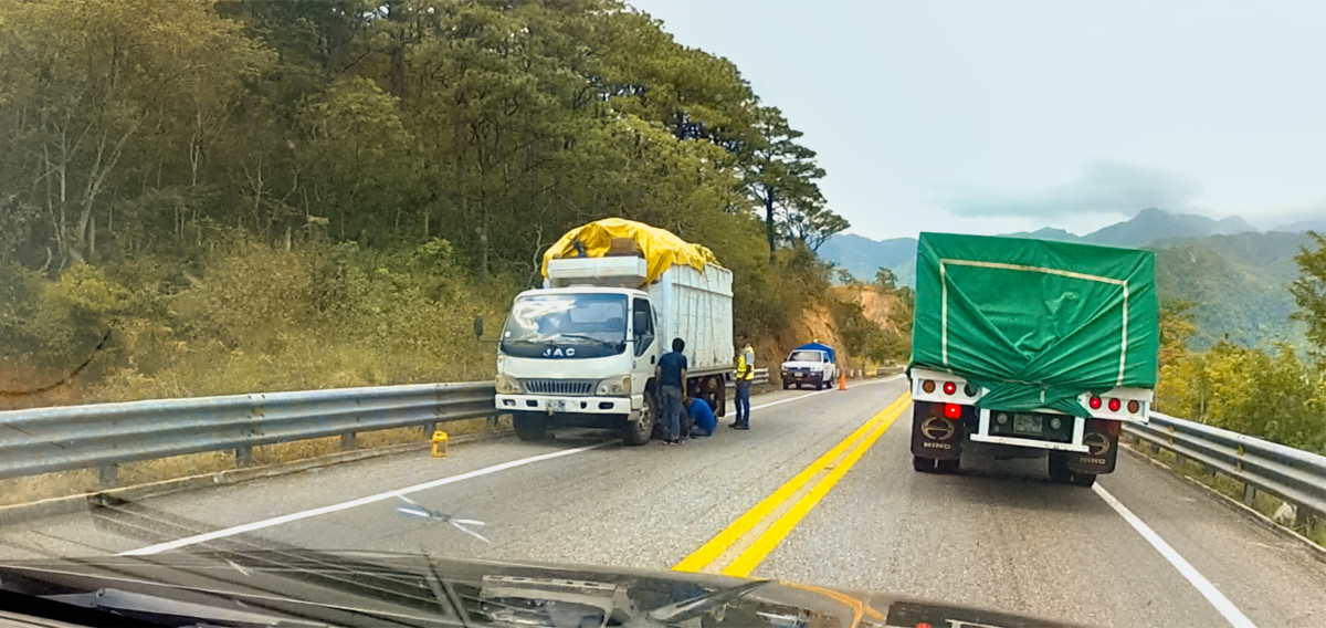
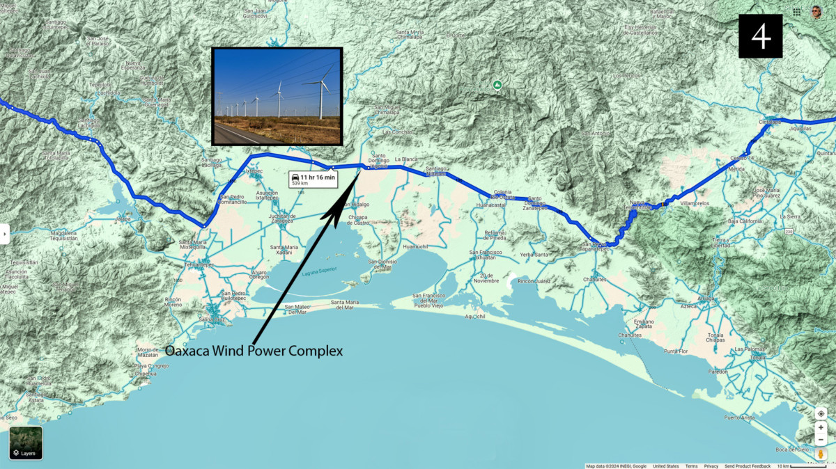
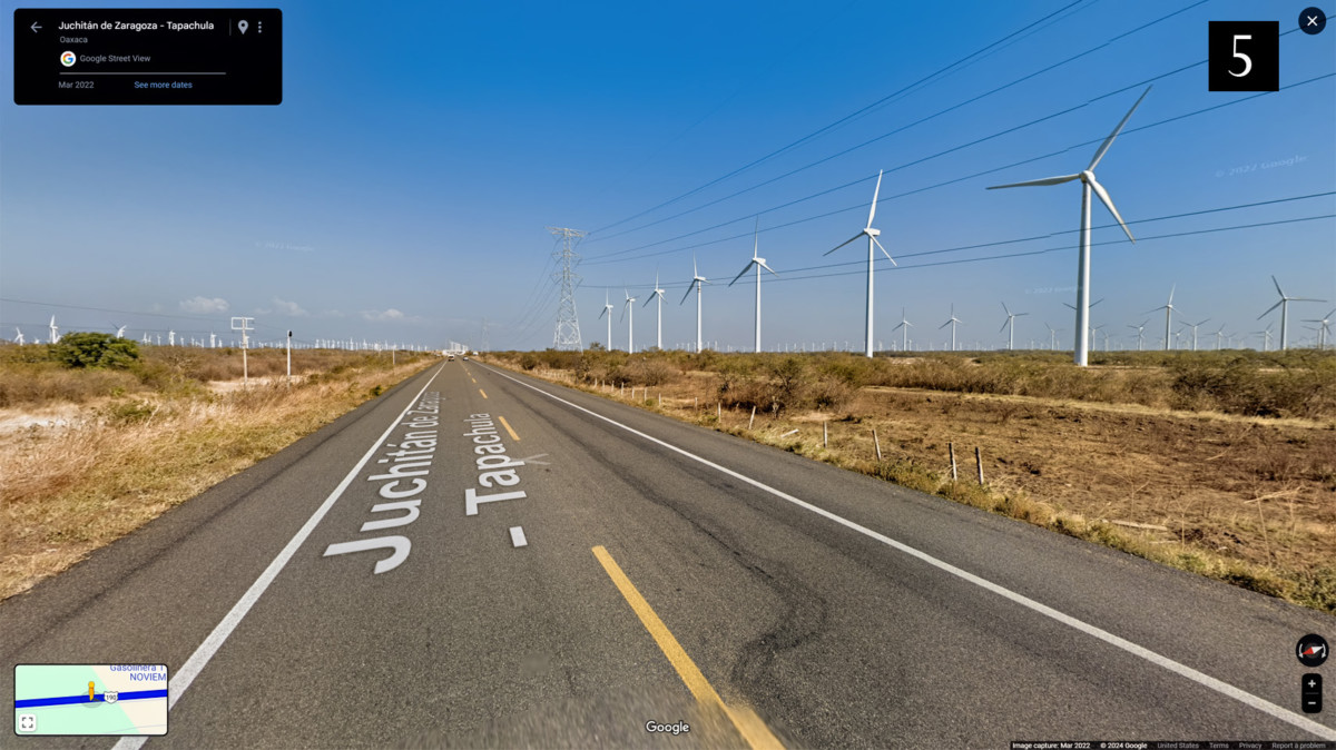
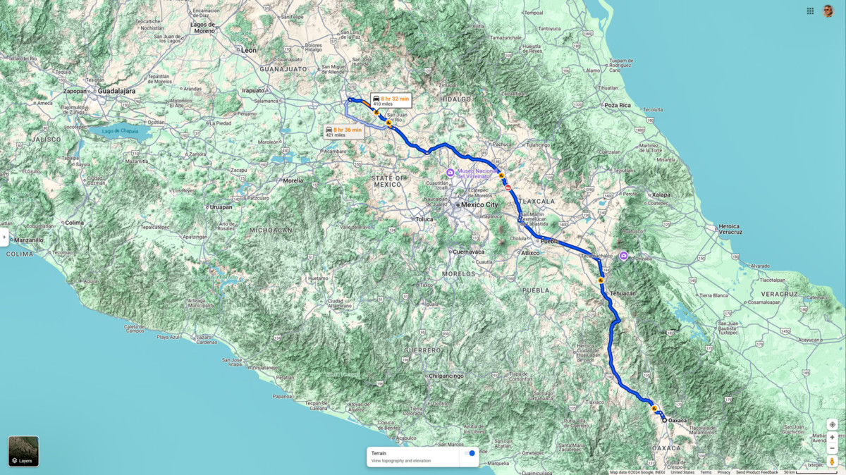
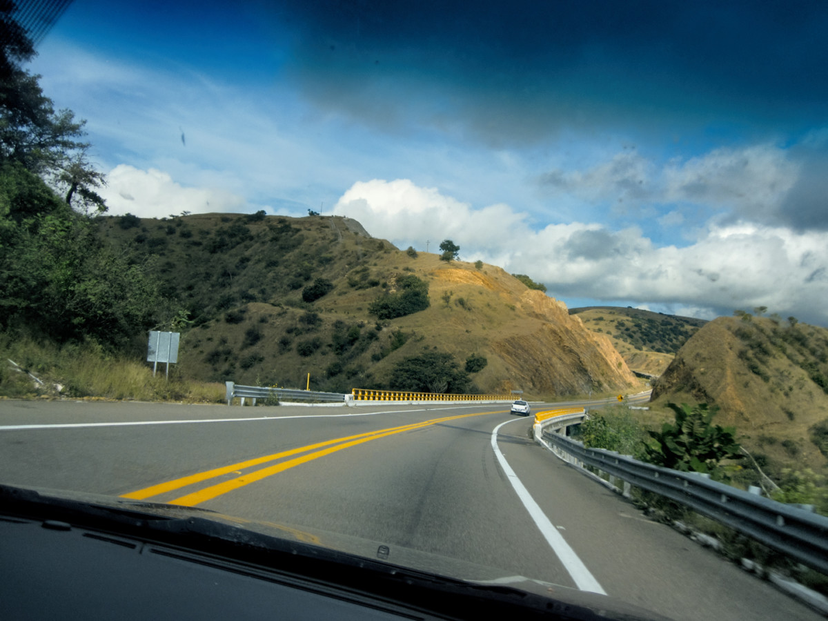
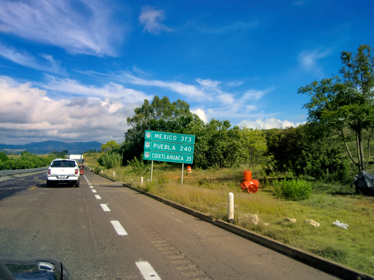
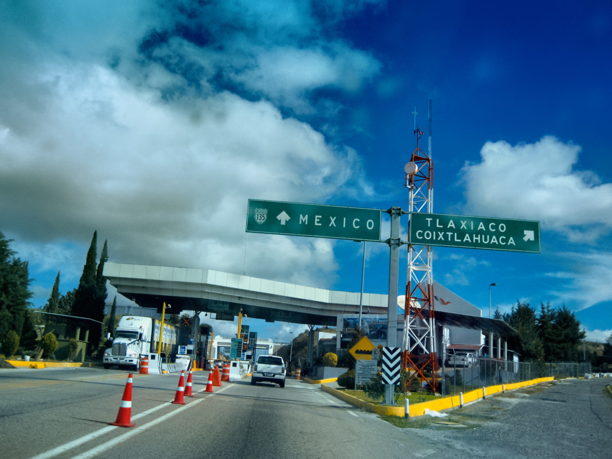
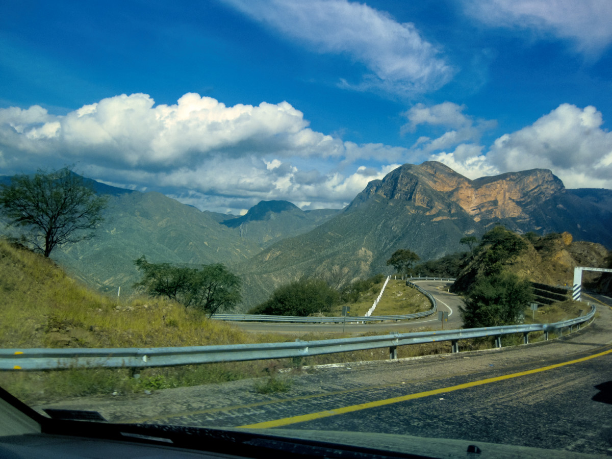
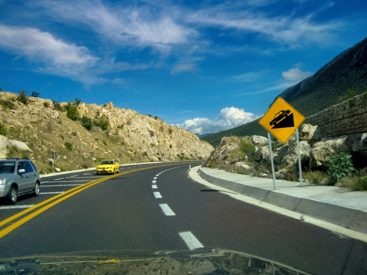
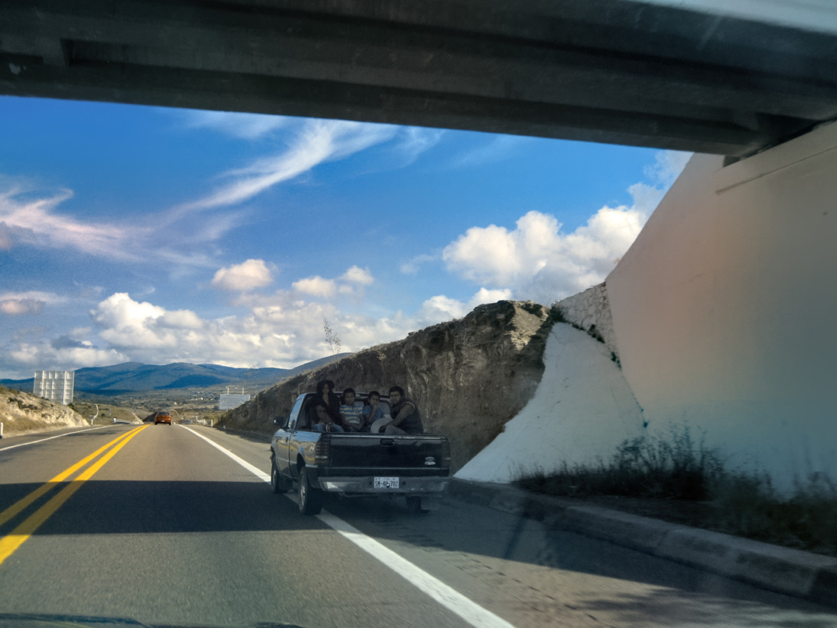
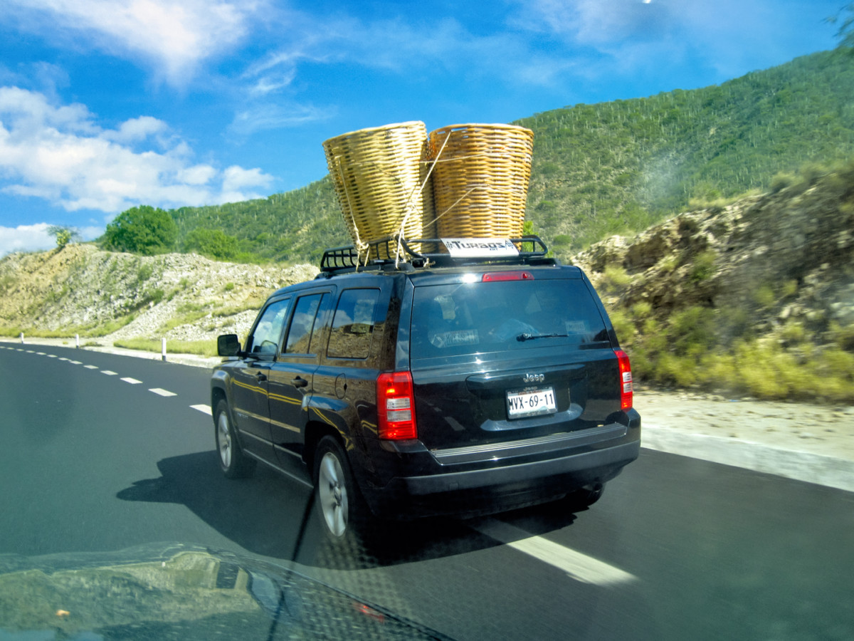
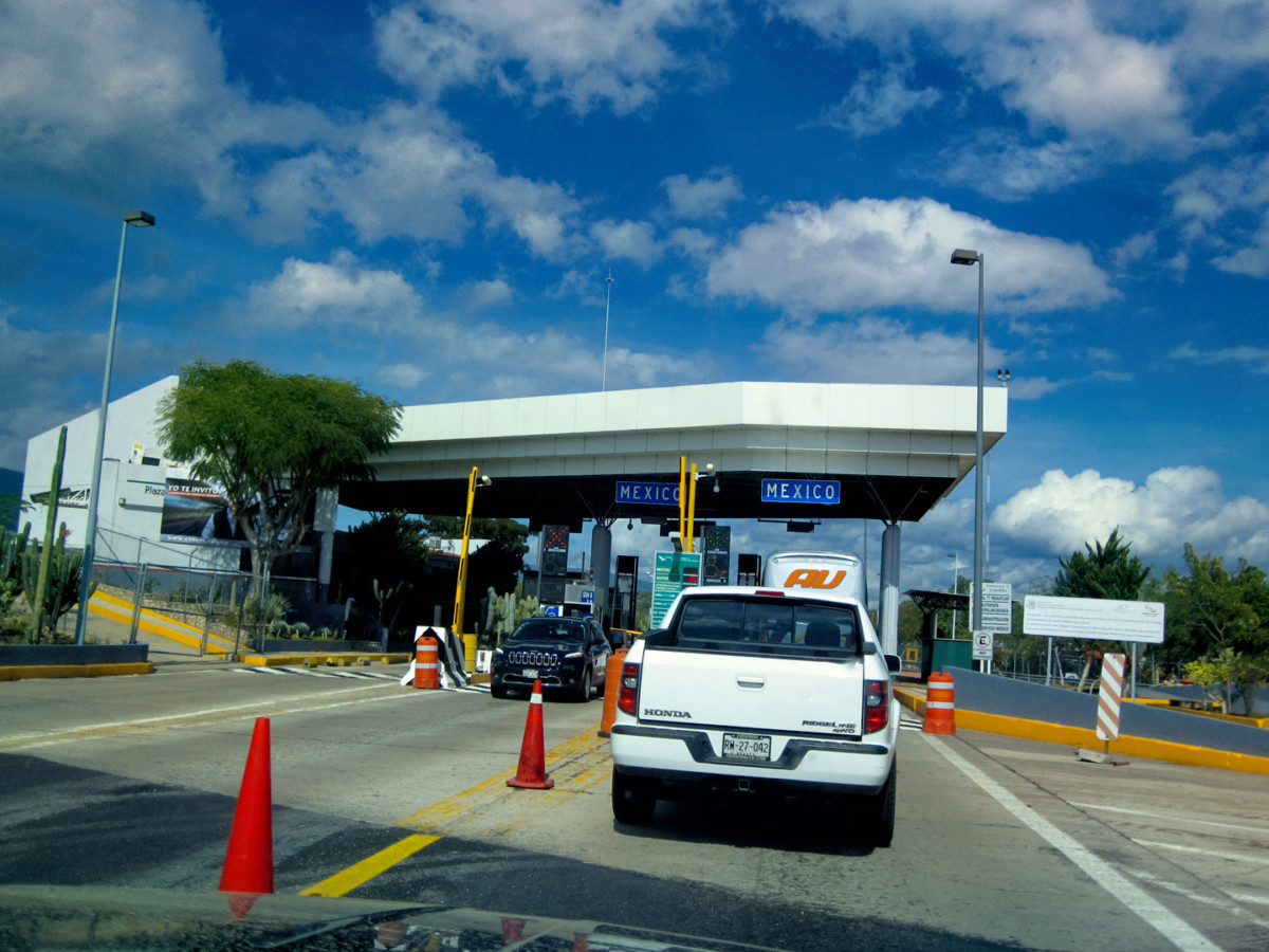
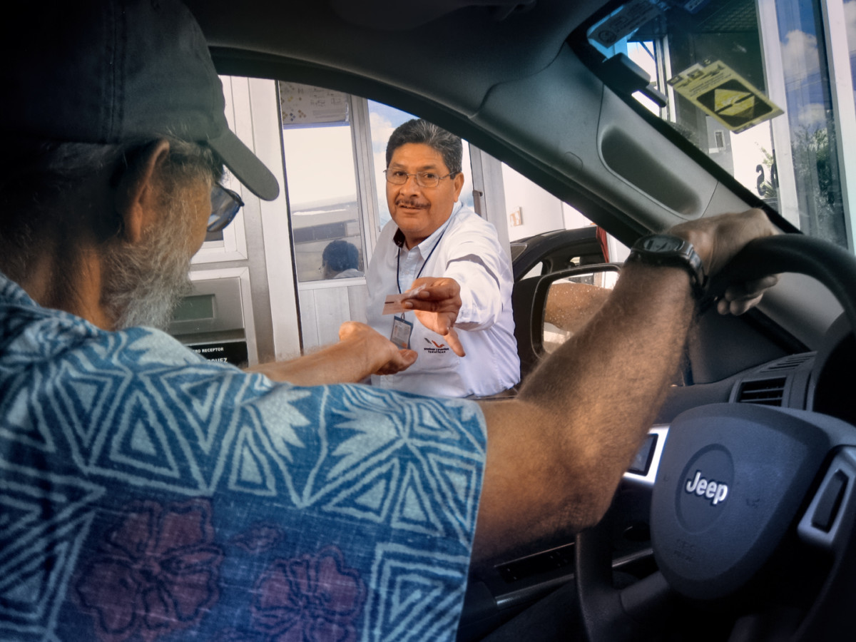
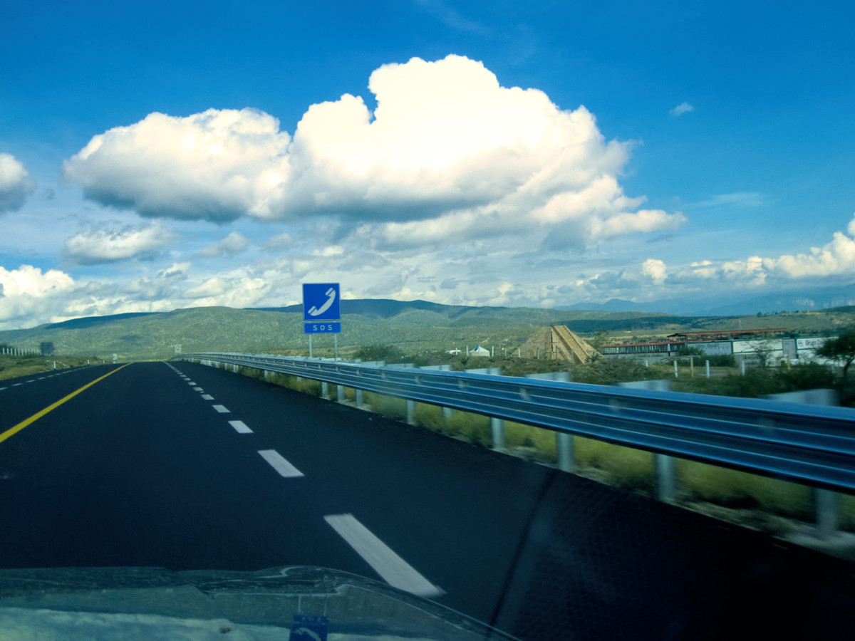
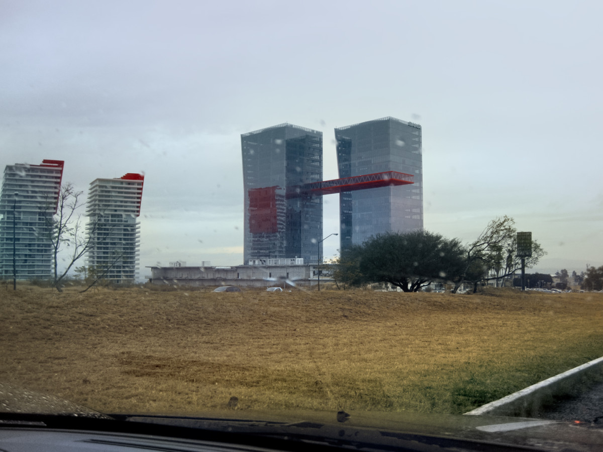
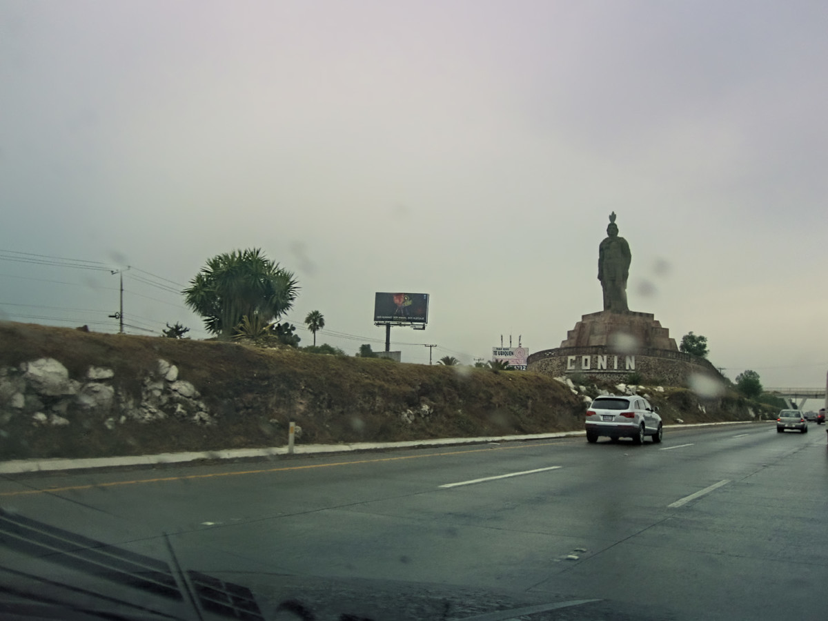
Tomorrow, wed push it a bit, as far as Oaxaca, and the next day to Puebla, or possibly Queretaro. From there, it was a short drive to San Miguel de Allende for a three day fiesta focused on the Dia de Los Muertos, the Day of the Dead. That was going to be the icing on the cake of our Mexican Road Trip. But first we had to get there, and its a long danged drive from San Cristobal de las Casas to San Miguel de Allende!
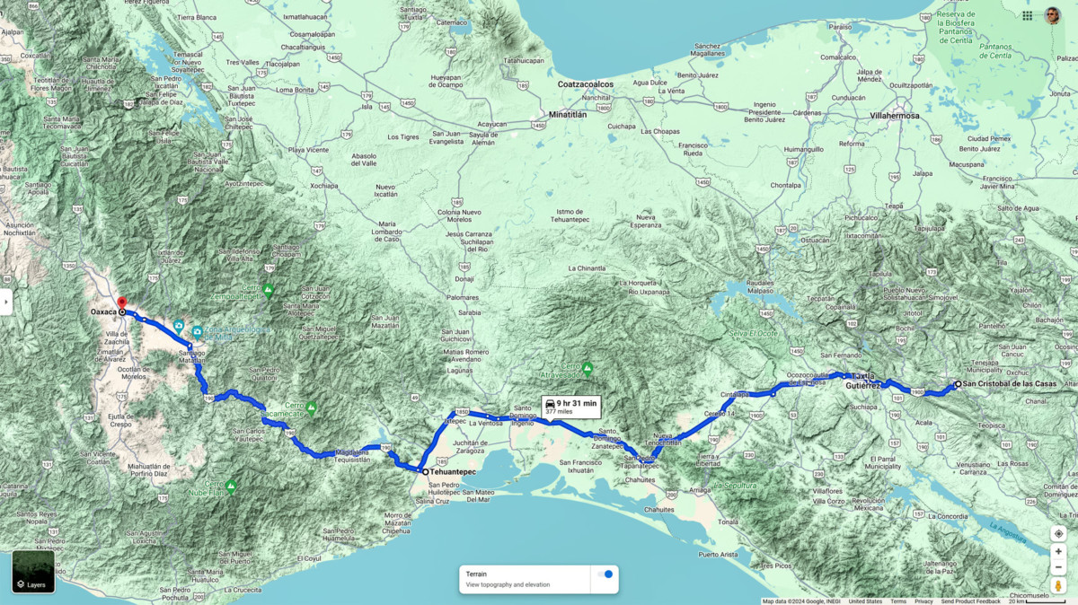
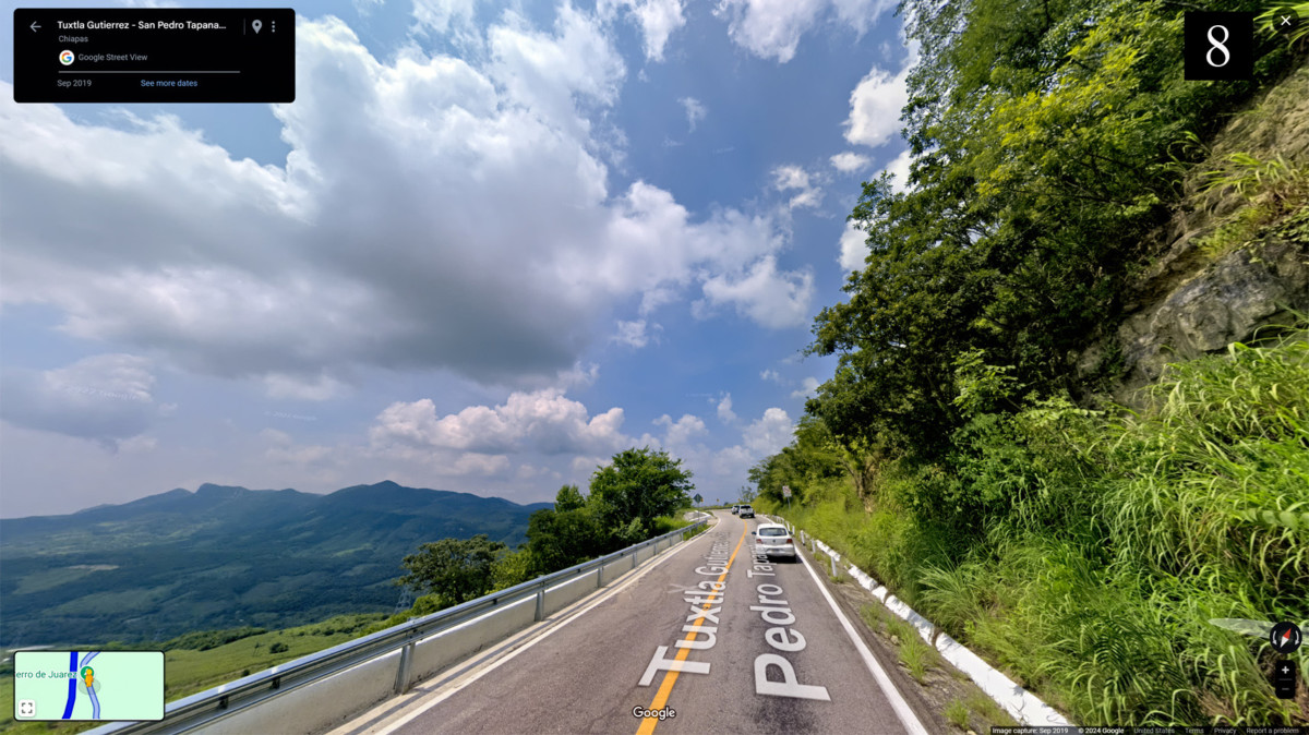
Next up: Day 21: San Cristobal to Tuxtla Guttierez

 Reply With Quote