Including the cities of Florence Lake, Lake Wishon, Wawona,
Huntington Lake, Devils Postpile, Tuolumne Meadows, Shaver Lake,
and Lake Thomas Edison
1215 PM PDT Sat Mar 29 2025
...WINTER STORM WARNING IN EFFECT FROM 11 PM SUNDAY TO 11 PM PDT
TUESDAY...
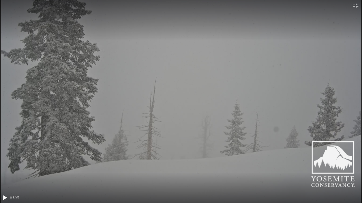
* WHAT...Heavy snow expected. Total snow accumulations between 1 to
2 feet. Winds gusting as high as 65 mph.
* WHERE...Kaiser to Rodgers Ridge, Upper San Joaquin River, and
Yosemite NP outside of the valley.
* WHEN...From 11 PM Sunday to 11 PM PDT Tuesday.
* IMPACTS...Travel could be very difficult to impossible. The
hazardous conditions could impact the Monday morning and evening
commutes. Very strong winds could cause extensive tree damage.


 Reply With Quote