


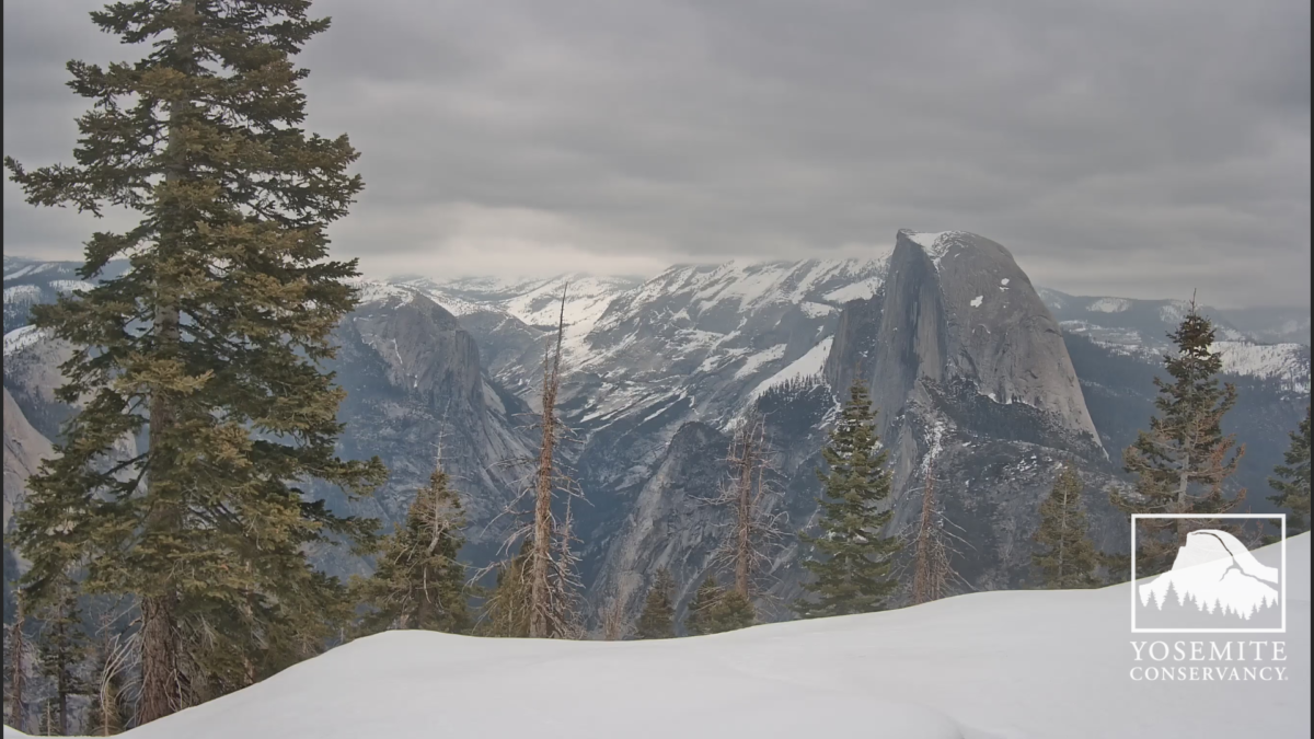
The clouds are starting to build after a bright start to the day.
Image courtesy of the Yosemite Conservancy.
A winter storm warning is in place from the National weather service.
This will hopefully bring a decent top up after the February storms, a summary of what happened last month shown below is provided by the Yosemite winter rangers....WINTER STORM WARNING REMAINS IN EFFECT FROM 11 PM THIS EVENING TO
11 PM PDT THURSDAY...
* WHAT...Heavy snow expected. Total snow accumulations of 1 to 3
feet above 4000 feet and up to 4 feet on the highest elevations.
Winds could gust as high as 60 mph.
* WHERE...A portion of central California.
New Snow: 68 inches (historical average 62.1 inches)
Snow Water Equivalent: 6.91 inches (historical average 4.53 inches)
Average High Temperature: 40.2°F (historical average 40.2°F)
Average Low Temperature: 12.3°F (historical average 10.3°F)
Average Temperature: 26.25°F (historical average 25.2°F)
Dave

 Reply With Quote
