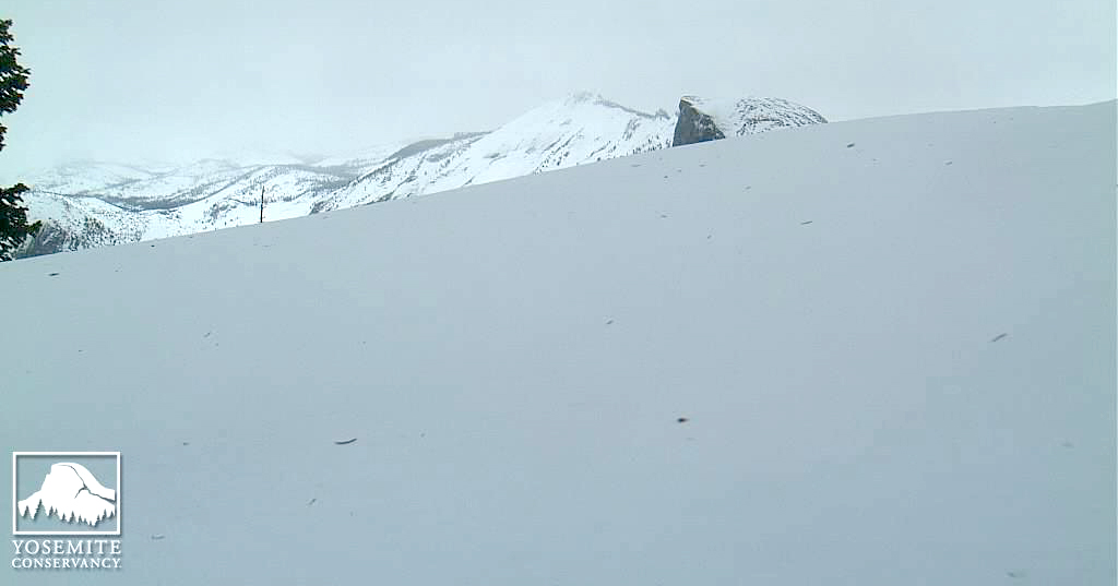
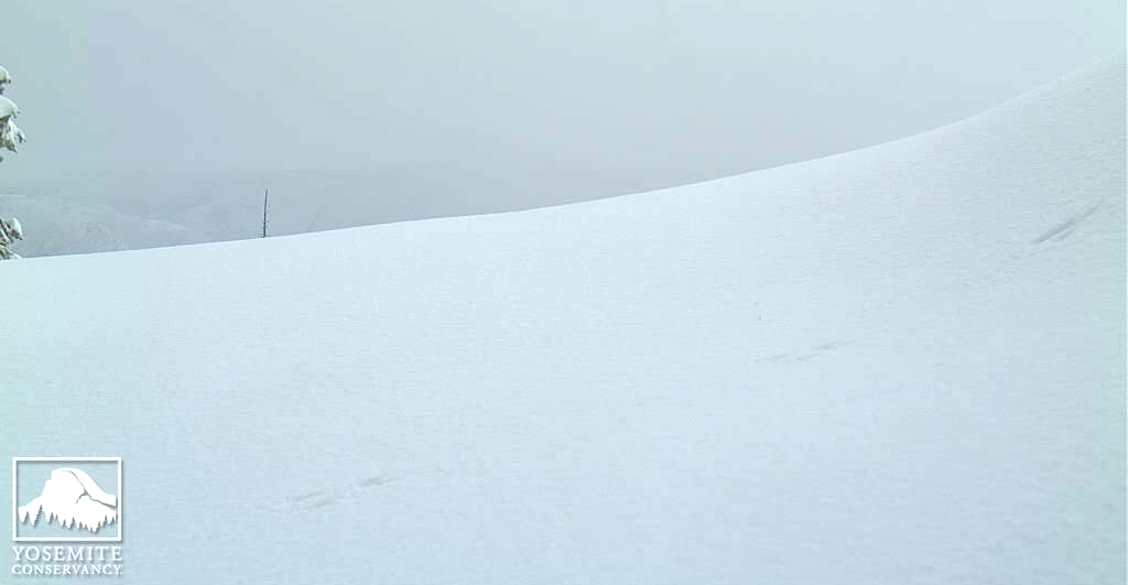
Half Dome returns -- and the hump begins to recede.
Photo courtesy of The Yosemite Conservancy -- February 24th at 09:42 am PST
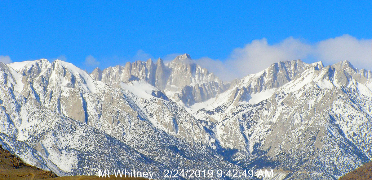
And Mt. Whitney is looking quite grand as well!
Photo courtesy of whitneyzone.com.


Half Dome returns -- and the hump begins to recede.
Photo courtesy of The Yosemite Conservancy -- February 24th at 09:42 am PST
And Mt. Whitney is looking quite grand as well!
Photo courtesy of whitneyzone.com.
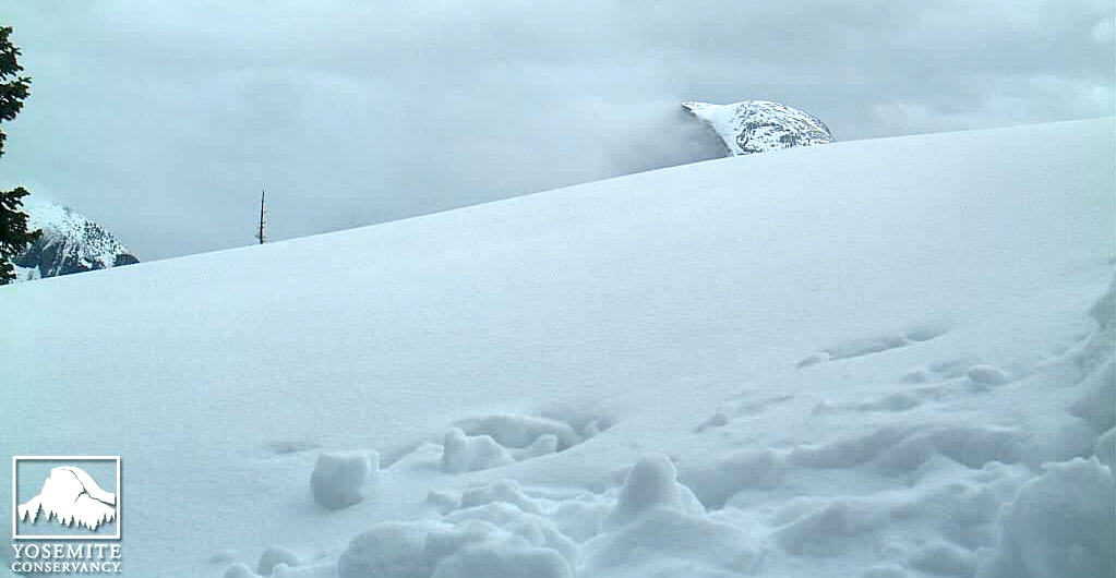
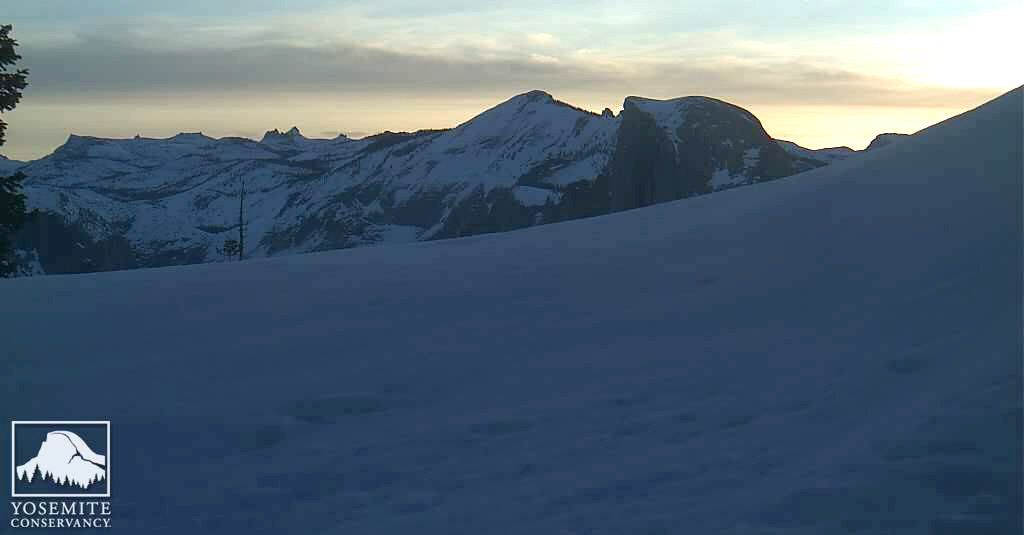
Another dramatic view of the Yosemite high country
Photo courtesy of The Yosemite Conservancy -- February 28th at 12:00 pm PST
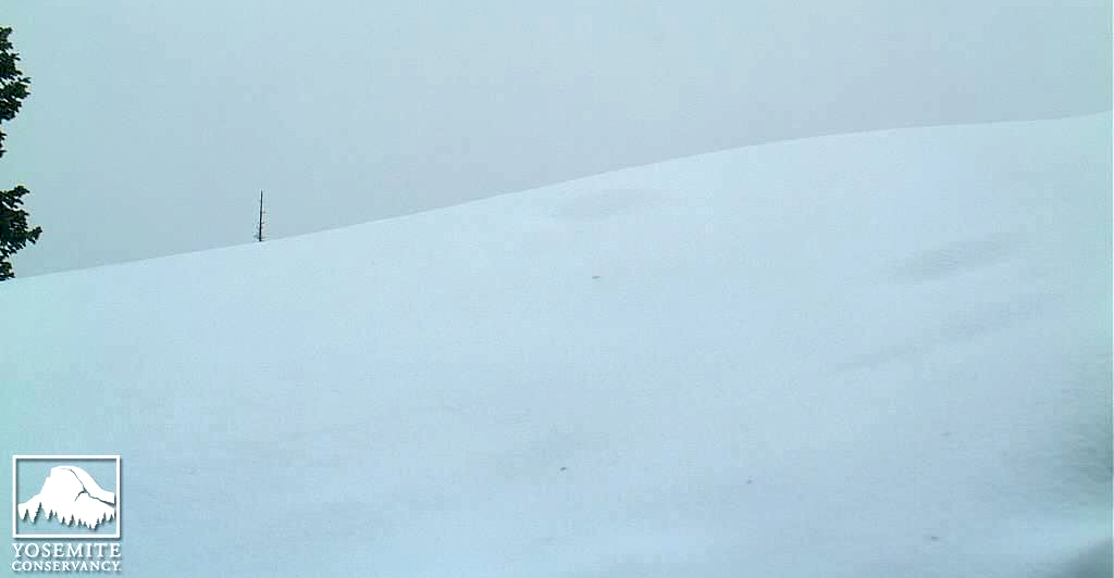
I have to wonder what caused those snow clods to roll down the slope!
New fresh snow over the weekend.
Photo courtesy of The Yosemite Conservancy -- March 5th at 09:20 am PST

The weather has calmed down , although bitterly cold and should remain like that for the rest of the week, before the risk of snow returns early next week. The Yosemite webcams have been out of operation for the last few days, hopefully they are up up and running soon so we can get a visual on conditions. For any early season campers visiting Yosemite, the Upper Pines campground is closed until mid April due to storm damage and the only campground open in Yosemite Valley is Camp 4 (tents only, no RVs or sleeping in cars).
There is a winter storm warning in place from the National weather centre for the high ground in Yosemite and Kings canyon areas with a significant amount of snow accumulation possible.
Dave....WINTER STORM WARNING NOW IN EFFECT FROM 11 PM THIS EVENING TO
5 AM PDT THURSDAY ABOVE 7000 FEET...
* WHAT...Heavy snow expected above 7000 feet. Total snow
accumulations of one to two feet likely. Localized snow amounts
of around three feet possible along the crest. Winds could gust
as high as 65 mph on exposed ridgetops and near the crest.
* WHERE...Sierra Nevada from Yosemite to Kings Canyon above 7000
feet.
* WHEN...From 11 PM this evening to 5 AM PDT Thursday.
* ADDITIONAL DETAILS...Travel could be extremely difficult or
impossible. Gusty winds may bring down tree branches. The
hazardous conditions could impact the morning or evening
commute.
From the latest Webcam shot you can see that the 'hump' has shrunk over the past 3 weeks, but that's still a lot of snow sat up there ! It'll be interesting to see any changes at the weekend, after the storm.
I think the plough crews are going to have their work cut out for them this Spring, especially when considering the fallen trees from high winds that will need clearing. Not to mention the possible rock slides.
Dave.

Quote from today's Yosemite NP Instagram post:
My pick of June 1st is AFTER Memorial Day! :)"As you plan your trip, bear in mind that Tioga Road and Glacier Point Road may open later than usual this year (neither is anticipated to be open before Memorial Day)."
Utahtea
Last edited by Southwest Dave; 03-27-2019 at 02:00 AM. Reason: Quote tags
More snow today!
It is hard to believe that we used to "mourn" the shrinkage of the mound by this date in recent years.
Photo courtesy of The Yosemite Conservancy -- March 28th at 02:20 pm PDT
So, yeah, I am going to update my dart... June 10th at 9 am.
Mark
Last edited by Mark Sedenquist; 03-31-2019 at 07:10 AM. Reason: to ping
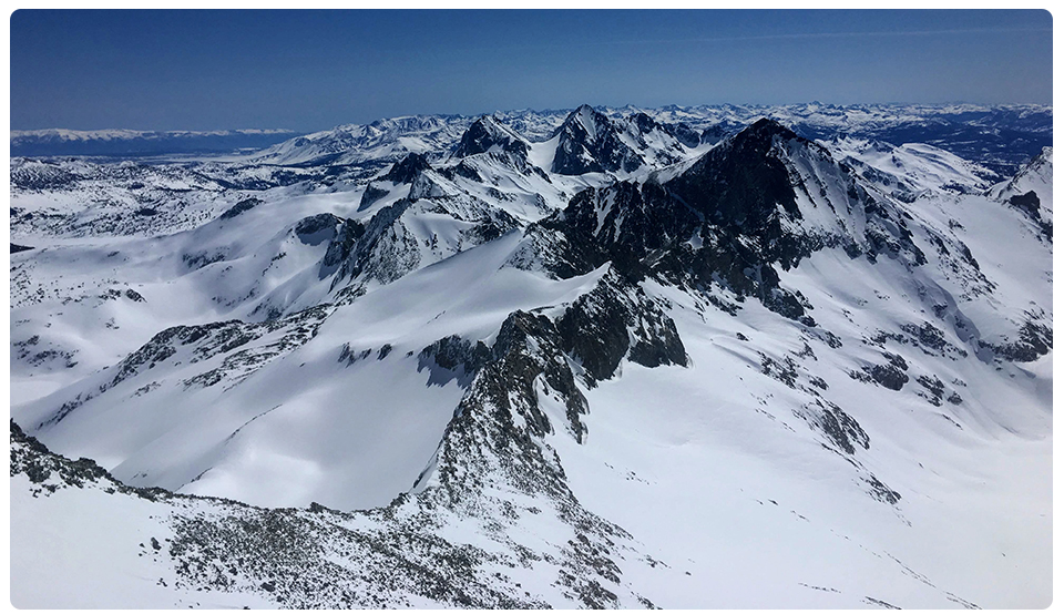
A new dawn is coming!
Photo courtesy of The Yosemite Conservancy -- March 31st at 07:00 am PDT
The April 1st snow pack report is in and it stands at 176% of average. That's the 3rd highest amount since 1984 and only 2% down on the joint highest amounts in that period in 2011 and 1995. That all points to a later than usual opening of the pass, but much will depend on future weather conditions between now and the opening date.
The High Sierra webcam is having technical issues again, but this amazing image is taken from the Tuolumne winter conditions page on Yosemite's official site. It was taken on March 31st looking south from Mt Lyell. The reported total snow depth at 8600 feet is 90 inches. That's a lot of snow !!
Dave.
 Posting Permissions