Today was one of the days I feared had too much activity in it, and I was proved right. I had set a goal of nearly 400 miles of driving combined with four sites to visit. We were doomed from the start.
First, I read about road construction in Glacier National Park with delays and closure of some overlooks and trail heads. Then I missed a critical turn to reach the eastern entrance. We drove 40 miles before I realized my error and we turned around, only to find that we could get to the western entrance easier from there and not have to drive over the road construction after all. Of course, it ate up an hour to figure it all out and start back over that bypass road again.

Though we drove the southern bypass for Glacier, we still saw some good scenery
My third miscalculation involved not planning on as many stops as we would make along the Going to the Sun Road. It was totally awesome, and we drove it from the West Glacier entrance up to Logan Pass and back, a distance of 64 miles. It took about three hours for that alone.
The Going to the Sun Road is a narrow two-lane road with low stone walls at some places and no guard rails or walls at all in others. It climbs to an altitude of 8,600 feet and has numerous waterfalls, snow bridges and hundred-mile views. The smoke we had encountered yesterday was not present, so everything was crisp and clear. There are adequate turnoffs and overlooks for some magnificent photo ops.

Up there in the center of the picture was our destination, Logan Pass
Now we're nearing the top of the park
Our next plan was to drive completely around Flathead Lake, the largest Clearwater lake in North America. It is also one of the clearest lakes; you can see all the way to the bottom in most of it. We were only able to take in the east side of the lake with the time we had lost. A bonus was the discovery that, besides tourism, (there are at least five state parks on the lake, including an island park that requires a boat ride to reach it) the east side has numerous cherry orchards. We bought two pounds of the sweet red ones called Flathead Cherries - what else?

From the end of a pier, Flathead Lake is about 40-feet deep at this point
I had scheduled a drive through the National Bison Range south of Flathead Lake, too. It is administered by the Salish and Kootenai Tribes, whose land it occupies. However, it is a treeless prairie and the temperature today was 97 Degrees, so I was glad to forego that. We did see a lone bison on the edge of the range from a rest area along Highway 93 near the town of St. Ignatius.
Yes, that is a lone bison out there in the distance on the National Buffalo Range
On our road down to Missoula we passed through a unique animal bridge. It enables wildlife to cross the busy and dangerous highway and is about 50 yards wide and covered in grass. It forms a tunnel for highway traffic. There are only four such animal bridges in North America.

A unique sight: the Animals' Trail Bridge for wildlife along Highway 93
I included a few extra pictures in Glacier NP below to show you how neat it really was. There was a distinct lack of glaciers in the park, though you could see remnants of some and hollows where others had been. I have become a believer in global warming, but only as nature governs it, not man. We are far too inconsequential to control climate, and besides, now scientists are predicting a new ice age, so maybe the glaciers will return.
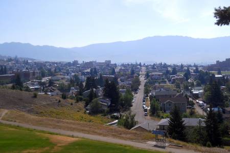
Our last stop was to be at the Smokejumpers Headquarters in Missoula. We arrived after closing at 5:30, so we took a few pictures of the buildings and training center and called it a day. Our hotel was in Missoula, so we had arrived at our home for the night.

A snow bridge (hollow underneath)

Towering peaks but not much glacial activity
Mileage - 370 Total - 3225


 Reply With Quote