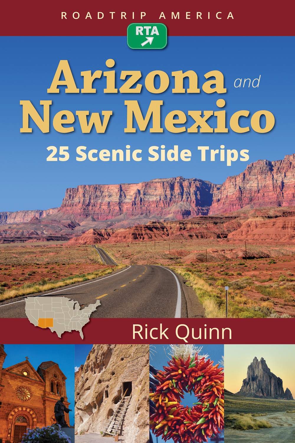
 The 25 free maps listed below are based on the 25 Interstate-alternative routes described in RoadTrip America's Arizona and New Mexico: 25 Scenic Side Trips by Rick Quinn published in April, 2018.
You can use these maps as is, or add your own additional points of interest by registering for a free account on RoadTripAmerica.com. If you don't already have an account, you can register here. The account is free and allows you to customize, save, and share maps. Please read the instructions below this list for more info on how to use, customize, save, and share your maps.
Scenic Alternatives to Interstate 10
SST #1: Van Horn, Texas to Las Cruces, New Mexico
SST #2: Las Cruces, New Mexico to Lordsburg, New Mexico
SST #3: Lordsburg, New Mexico to Willcox, Arizona
SST #4: Lordsburg, New Mexico to Phoenix, Arizona
SST #5: Willcox, Arizona to Benson, Arizona
SST #6: Benson, Arizona to Tucson, Arizona
SST #7: A scenic circuit of Tucson, Arizona
SST #8: Tucson, Arizona to Phoenix, Arizona
Scenic Alternative to Interstate 17
SST #9: Phoenix, Arizona to Flagstaff, Arizona (the west route)
SST #10: Phoenix, Arizona to Flagstaff, Arizona (the east route)
SST #11: Phoenix, Arizona to Holbrook, Arizona
Scenic Alternative to Interstate 40
SST #12: Kingman, Arizona to Flagstaff, Arizona
SST #13: St. George, Utah to Flagstaff, Arizona
SST #14: Flagstaff, Arizona and the Grand Canyon National Park loop
SST #15: Flagstaff, Arizona to Holbrook, Arizona
SST #16: Holbrook, Arizona to Gallup, New Mexico
SST #17: Gallup, New Mexico to Grants, New Mexico
SST #18: Gallup, New Mexico to Albuquerque, New Mexico
SST #19: Grants, New Mexico to Socorro, New Mexico
Scenic Alternative to Interstate 25
SST #20: Socorro, New Mexico to Albuquerque, New Mexico
SST #21: Albuquerque, New Mexico, a scenic loop trip
SST #22: Albuquerque, New Mexico to Santa Fe, New Mexico
SST #23: Santa Fe, New Mexico to Taos, New Mexico, Part A
SST #24: Santa Fe, New Mexico to Taos, New Mexico, Part B
SST #25: Santa Fe, New Mexico to Raton, New Mexico
Please note that each map includes one route from the book and 3-4 of the the attractions found along it. You can add additional attractions from the book or points of interest of your own choosing to the maps. (Most of the scenic routes in the book have optional sections. Maps of these sections are in the book only.)
After registering, you will be able to customize any and all of the 25 maps listed above by navigating to "Advanced Maps" (in the navigation bar at the top of every page) or by clicking here.
On the left hand column of the "Advanced Maps" page you will see some tables labeled as follows:
My Maps
My Custom Places
My Routes
My Drawn Routes
RTA Map Library -- this is where you will find the list of maps that correspond to the routes in the book.
All the routes described in Arizona and New Mexico: 25 Scenic Side Trips are labeled like this: West AZ-NM SST ## (where ## represents the chapter number associated with that map). So, the first one you will see in that list is called "West AZ-NM SST 07 A Circuit Tour of Tucson."
If you click on the blue line under the number next to the word "West" it will open the link to the route.
Some key elements to note:
1. If you click on the blue flag labeled "1" you will find a description of the route and details about long it takes to drive this route.
2. The icons that have little colored flags are RoadTrip Attractions published by RoadTrip American contributing writers. They are not necessarily the same attractions found in Rick's book, but many of his attractions are found on these maps.
You can save this RTA Library map into your personal collection of maps. Here are some general instructions about how to do that:
To modify a RTA Library Map and Save it as one of your Personal Maps:
Click on the number link. At this point, you can add your personal Custom Places and then save whatever is on your screen as a map. Just click the “Save Map” button. The map’s name will now appear in the “My Maps” box in the left-hand column.
To create a new map based on the original RTA Library Map + some new places that you'd like to add, you will be using the RTA Custom Maps "Waypoints" system. The Waypoints system is explained in greater detail on the Advanced Maps page -- look for MAP INSTRUCTIONS.
Once you have added any new Custom Places, you would save the new map that you just created. Note: The resulting blue line route might not follow the exact route of the RTA Library Maps because there is a limitation on the number of waypoints available (23 waypoints plus the beginning and ending locations) but you can use the RTA flags and your new Custom Places markers as those waypoints and choose your new starting and ending locations. The resulting map will be very similar to the original RTA Library Map. (For more information about using the "Waypoint" system, see post #1 in this thread.)
And if you need help with any of this, please get in touch with us via email to map.center.support@roadtripamerica.com. You can also join the map discussion on the Trip Advice Planning Forum.
-------------------------------------------------------------------------------------------------
Here are some book reviews of this new book:
Peter Thody, RTA Contributing Writer, "An Insider's Insight into Memorable Drives Through the Desert Southwest" (RoadTripAmerica.com, 02-25-18)
Jaimie Bruzenak, "Let's Take a roadtrip! Arizona and New Mexico Guidebook" Jaimie's site is no long live on the web. Alas!
Carol White, "Time Challenges? This is the Guide for You" (Living-Las-Vegas.com, 03-15-18)
More endorsements from knowledgeable road trippers and celebrities can be found here.
--------------------------------------------------------------------------
Buy Arizona and New Mexico: 25 Scenic Side Trips
from these fine retailers!
Amazon.com
Barnes & Noble
Books A Million
Indie Bound
Apple Books (e-book)


