Station Wildfire Photos
The Station Fire which started on Wednesday August 26th, 2009 at approximately 03:30 PM has burned over 250 square miles of land within the Angeles National Forest and near surrounding foothill communities of La Canada Flintridge, La Crescenta, Acton, Soledad Canyon, Pasadena, Glendale and Sierra Madre. The fire is moving into areas of the forest with no recorded fire history. The Station Fire is now the 9th largest fire in California since 1933. Here’s a pretty incredible map of the fire progression on a daily basis!
November, 2010 Update: The Angeles Forest Highway, also known as County Road S-2, was given the honorary name of the “Capt. Ted Hall and Engineer Arnie Quinones Memorial Highway” at a ceremony at a Lancaster fire station, read more here.
Here are some photos from the Station Wildfire:
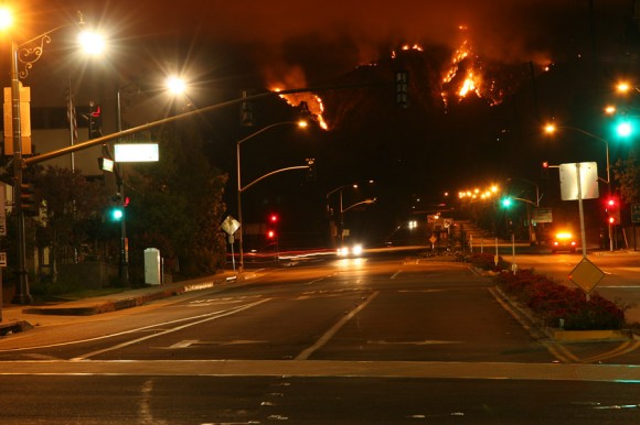
August 29th at 0100 hours Angeles Crest Highway & Foothill, La Canada
Photo by Bruce Jones
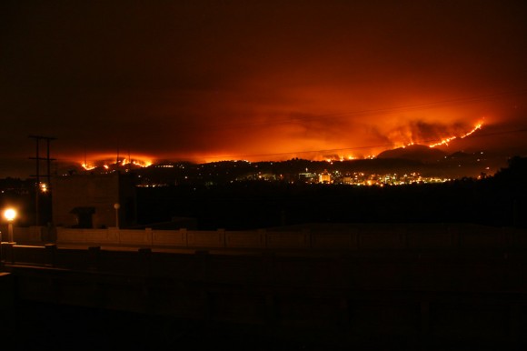
View from JPL looking west on the 29th
Photo by Bruce Jones
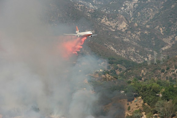
DC-10 Holding the line to keep the fire from
moving into the La Vina neighborhood of northwest Altadena later that day
Photo by Bruce Jones
Ed Honowitz (View of Altadena also on August 29th):
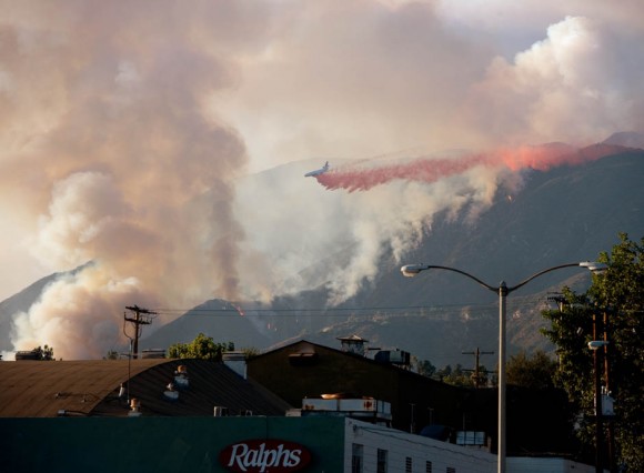
Photo of DC-10 holding the line in Altadena
Photo by Ed Honowitz
According to eyewitnesses, (but, as yet, officially unconfirmed reports from) the fire lines — the USFS fire stations at Mill Creek, Chilao, Camp 16 (near Mt. Gleason) and the Vetter Peak Lookout tower were heavily damaged and/or destroyed by the fire. In fact, some of the reserve fire trucks were lost in the firestorm at Mill Creek and Chilao. Perhaps suprisingly, the fire stations at Clear Creek and Red Box Ranger stations were saved from the fire.
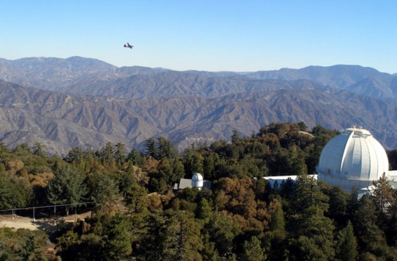
September 21st, Mt Wilson Tower Cam, 10:00 AM
Photo by UCLA Department of Physics & Astronomy
Here is a web cam that updates throughout the day from the tallest solar telescope tower on top of Mt. Wilson. It provides awesome views of the high country — a bit singed now, but it will be a great place to check in as the forest begins to recover from the devastation of the fire.
Costs as of Sept 20th — in excess of $84 million dollars to control this fire.
Angeles NF Sign near Angeles Crest station on the Angeles Crest Highway:
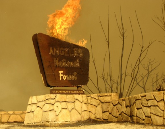
Sign of the Times
Photo by U.S.F.S.
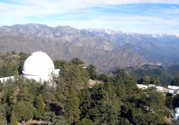
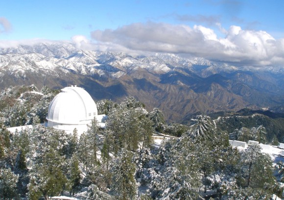
Here is a great series of photos taken at or near the Clear Creek Ranger Station on the Station Fire by Tim Vrieling. Truly awesome photography and some of the best for fire-line work.
Great photos indeed! I do feel slightly uncomfortable looking at these – does it feel a little voyeuristic watching people put their lives on the line – but I guess it’s a tribute to their bravery and skill.
The photos are awesome indeed, as is the subject. As a volunteer photographer for the Los Angeles County Fire Department I am tasked with taking photos of a documentary nature but the subject of wildfire almost demands the photographer capture the drama of the moment. Many of our photographs are used for training purposes and thus go a long way toward protecting the brave men and women “on the lines”. I am happy to be part of that contribution.
The other day, I watched as the 20-acre spot fire took off in the Twin Peaks area and also watched the dust cloud that was kicked up by the stronger wind gusts of the mild Santana wind condition on the 22nd of September. I wish I’d known about the Web cam on the 29th of August!
Can you make a correction on your blog? I didn’t take the photo of the ANF sign on fire.
I took a few of the photos that are featured on the Inciweb page for the Station Fire, but this is not one of them.
Thank you!
Carol Underhill
Those are very interesting photos of the event happening. The situations looks very bad, but the shots are stunning.
Wow, amazing photos….. very well done! If you take a look you can see the work that Stephen Dent and I did.
I hope you can post more pictures like these in the future. I’ll check back often, thanks.