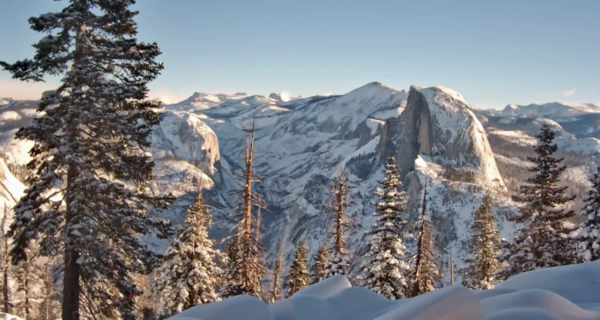
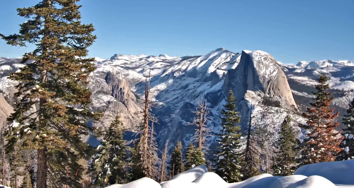
Another gorgeous day in the high country
Photo provided by and courtesy of The Yosemite Conservancy
January 5th at 11:33 am PST

Before October 8th
Between Oct 8th and 18th
Between Oct 19th and 29th
Between Oct 30th and Nov 8th
Between Nov 9th and 19th
Between Nov 20th and 30th
Between DEC 1st and 10th
Between Dec 11th and 21st
Between Dec 22nd and 31st
Will open in 2024

Another gorgeous day in the high country
Photo provided by and courtesy of The Yosemite Conservancy
January 5th at 11:33 am PST
Morning light in the Yosemite High Country
Photo provided by and courtesy of The Yosemite Conservancy
January 7th at 09:03 am PST

I really like this new Sentinel camera and the view it offers.
Dave
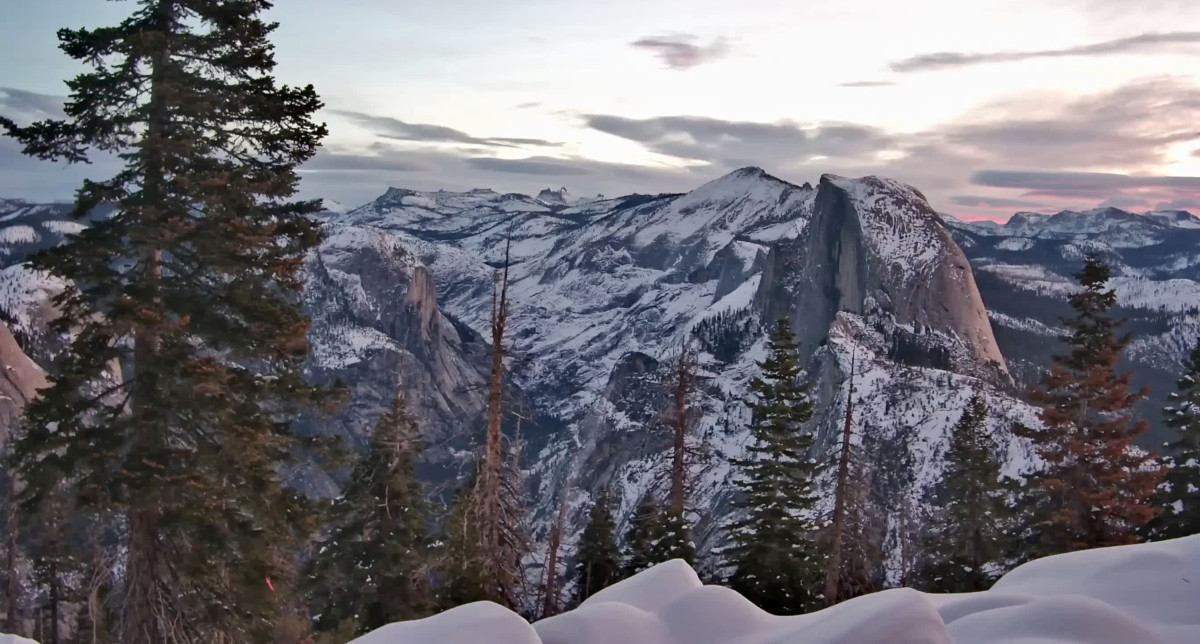
How about this sunrise view from this morning.
"Red sky in the morning"
Photo provided by and courtesy of The Yosemite Conservancy
January 9th at 07:00 am PST
Sailors, take warning....Originally Posted by Mark Sedenquist

Donna
As the title says, there is heavy snow Forecasted for the weekend with over 20 inches of new snow accumulation possible at 8500 feet. I wonder if we will see anything close to last years record snowfall?!
Dave
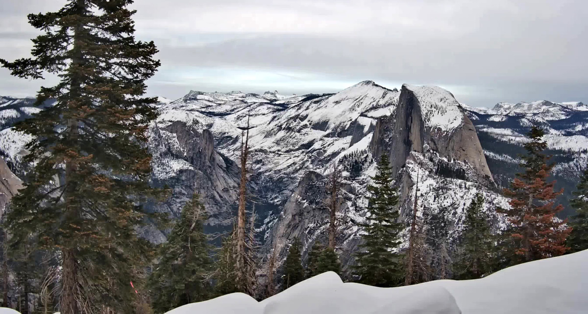
Photo provided by and courtesy of The Yosemite Conservancy
January 18th at 004:00 pm PST
I love the pretty snow line over the rocks in the foreground.
Mark

In another thread Dave said about how cheap flights can be out of season. These photos tempt me with the idea of a solo trip to see some of the area in the winter time!
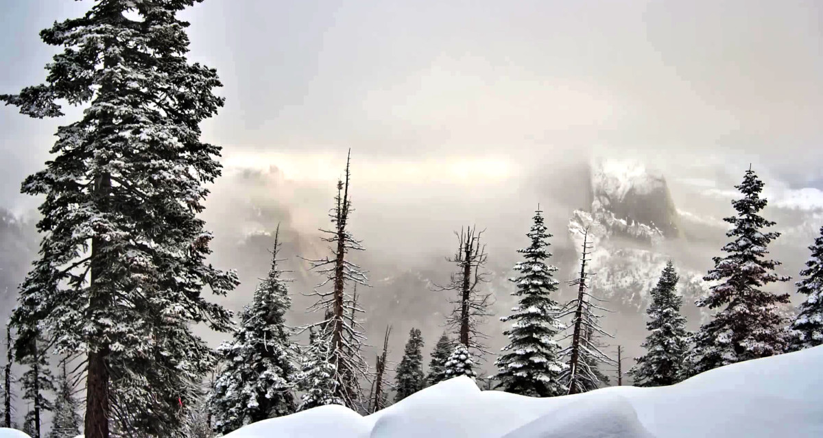
It's finally snowing again!
Photo provided by and courtesy of The Yosemite Conservancy
January 20th at 07:42 am PST
Wow nice capture! Yes, there is a Winter storm warning in place for the Sierra Nevada with heavy snow forecast. Details below.
DaveYosemite NP outside of the valley-Upper San Joaquin River-
Kaiser to Rodgers Ridge-Kings Canyon NP-Grant Grove Area-
Sequoia NP-South End of the Upper Sierra-
Including the cities of Tuolumne Meadows, Wawona,
Devils Postpile, Florence Lake, Lake Thomas Edison, Lake Wishon,
Huntington Lake, Shaver Lake, Cedar Grove, Grant Grove,
Hume Lake, Giant Forest, Lodgepole, and Johnsondale
436 AM PST Sat Jan 20 2024
...A WINTER WEATHER ADVISORY REMAINS IN EFFECT UNTIL 4 PM PST
SUNDAY AFTERNOON ABOVE 6000 FEET...
...A WINTER STORM WATCH REMAINS IN EFFECT FROM SUNDAY AFTERNOON
THROUGH LATE MONDAY NIGHT ABOVE 7000 FEET...
* WHAT...For the Winter Weather Advisory above 6000 feet, snow
expected. Snow accumulations of 8 to 16 inches above 7000 feet.
Total snow 4 to 8 inches from 6000 feet to 7000 feet. For the
Winter Storm Watch above 7000 feet, heavy snow possible. Snow
accumulations of 1 to 2 feet possible above 7000 feet.
* WHERE...The Sierra Nevada.
* WHEN...For the Winter Weather Advisory, until 4 PM PST Sunday
afternoon. For the Winter Storm Watch, from Sunday afternoon
through late Monday night.
* IMPACTS...Travel could be very difficult or nearly impossible.
 Posting Permissions

 Reply With Quote