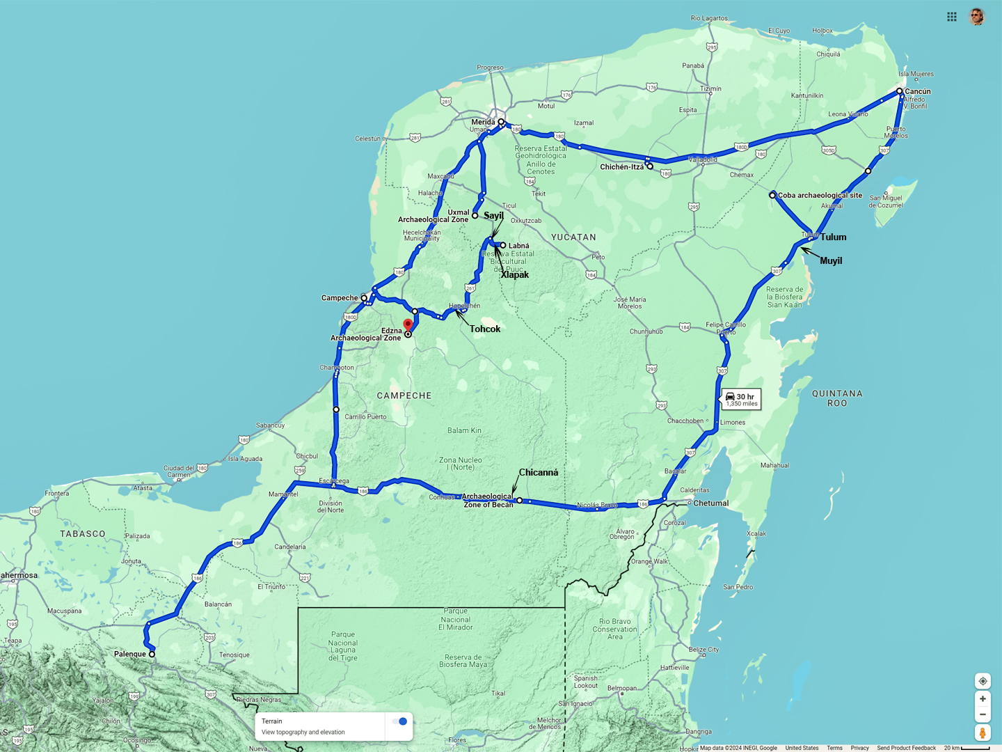
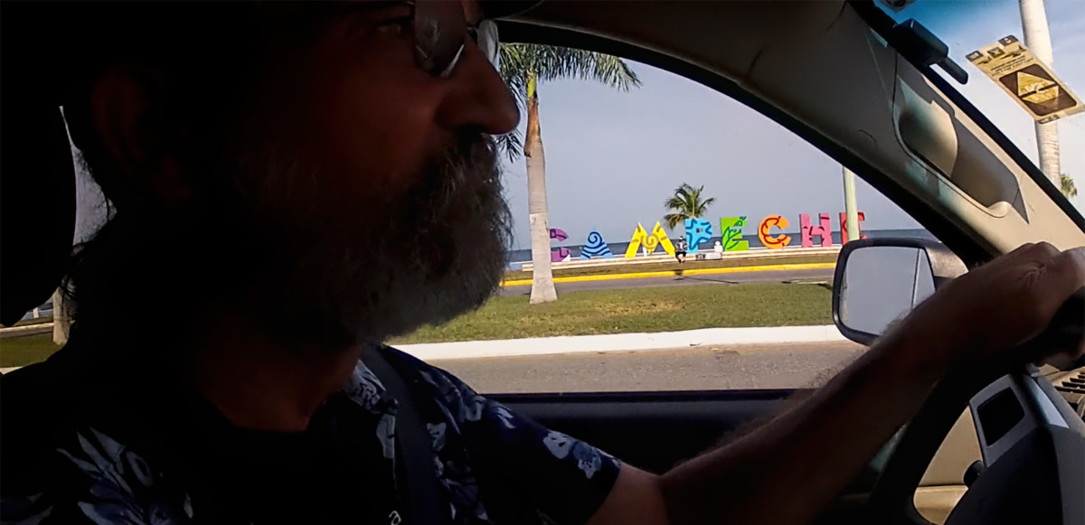
DAY 19: A Stones Throw from Guatemala
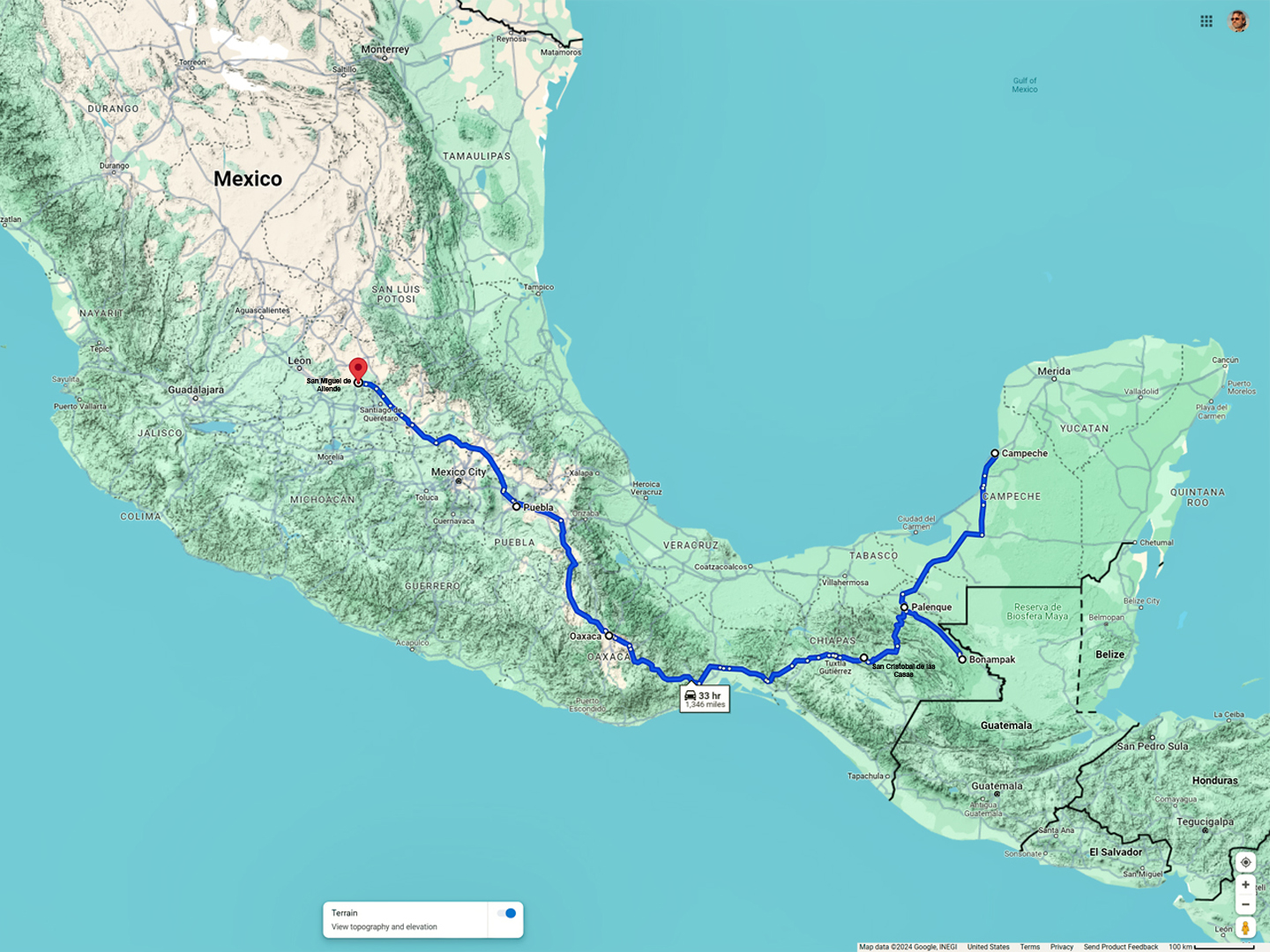
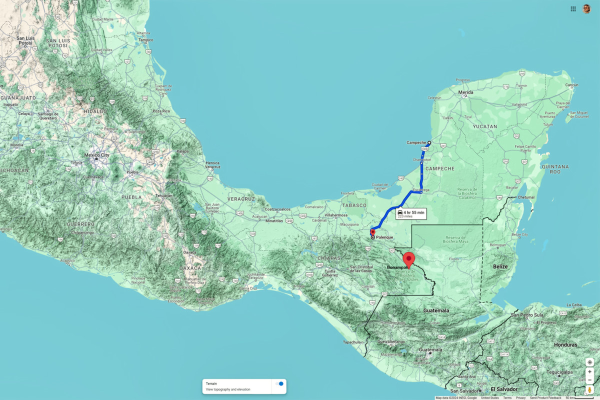
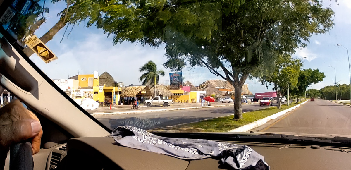
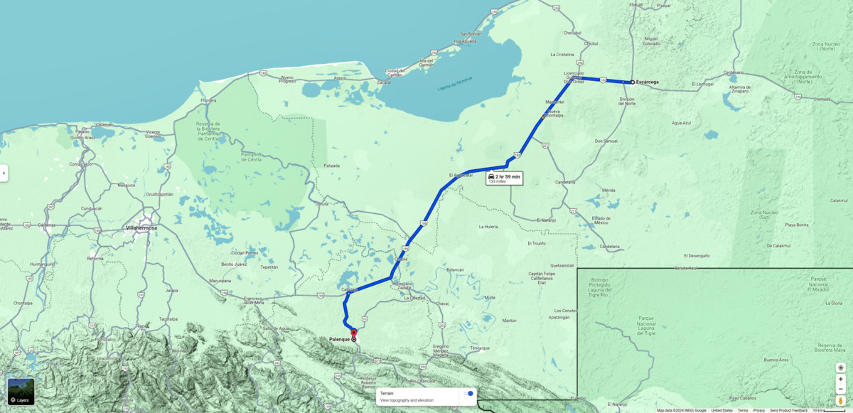
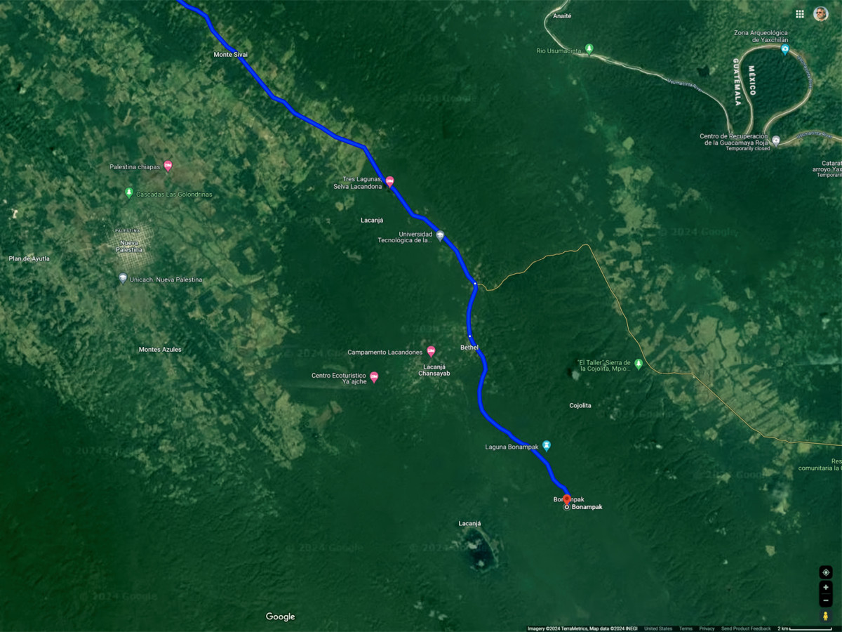
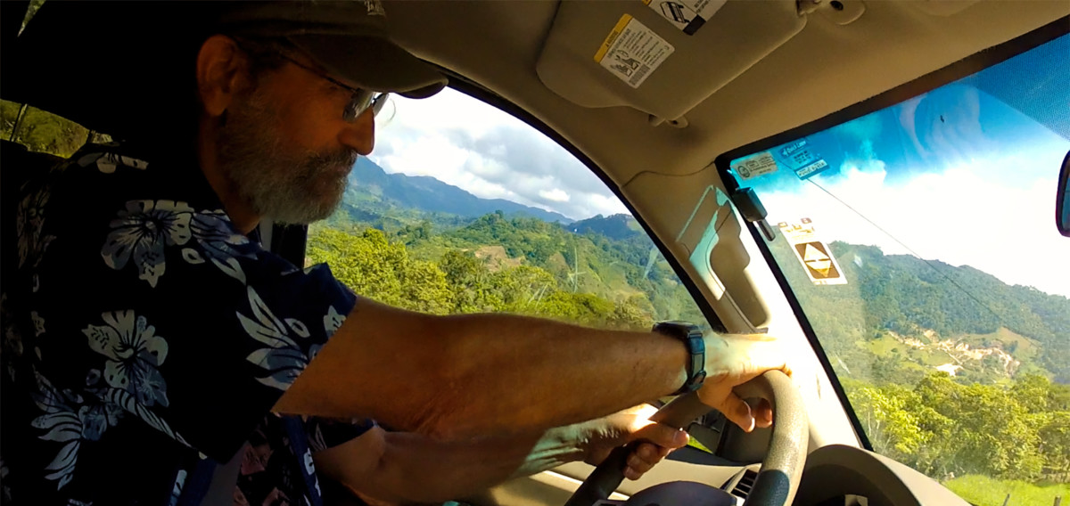
By the morning of Day 19, Id recovered to the point that I was willing to take a chance on Bonampak, and when I say take a chance, its because there was more at risk than my health. Bonampak is 90 miles from Palenque, a slow, three hour drive, according to Google. The Federal Highway, MX 307, continues on from there, and runs within a stones throw of the Guatemalan border for almost 200 miles. According to the people at our hotel, the whole area is a smugglers paradise, the primary corridor for contraband of every description coming into Mexico from points south, and that includes unprecedented numbers of migrants and asylum seekers making their way north to the U.S. Border.
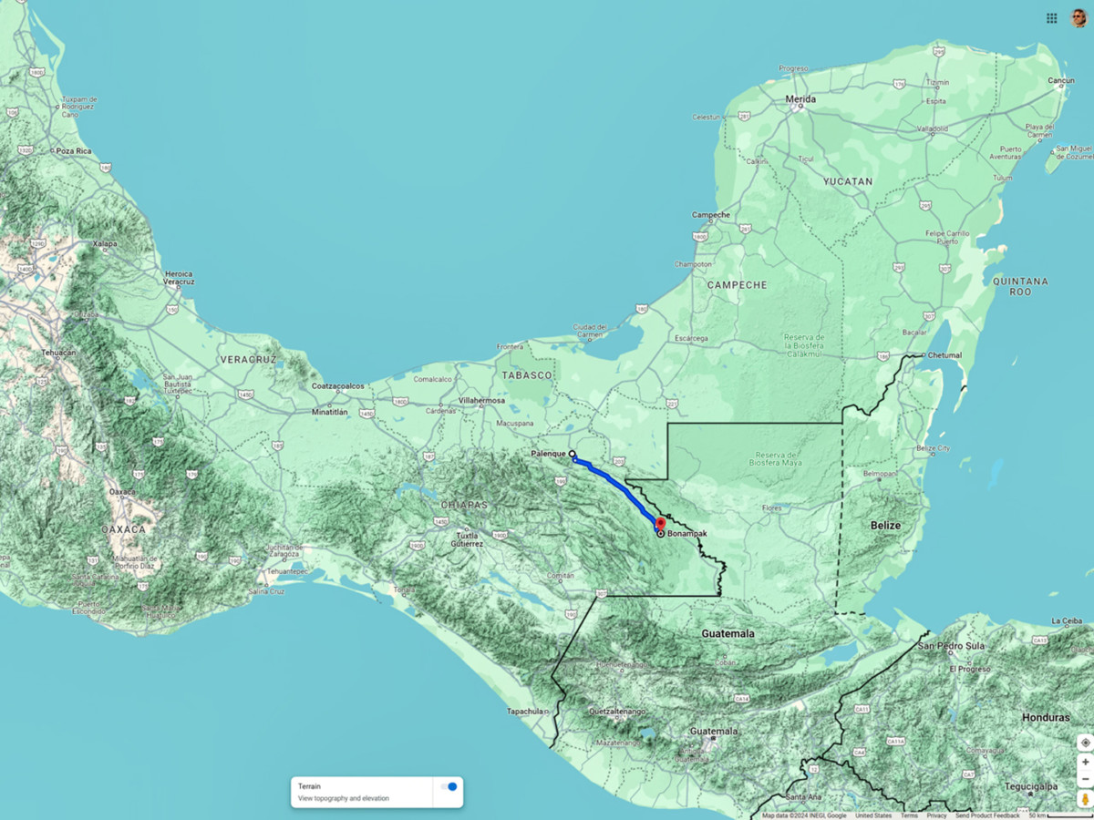
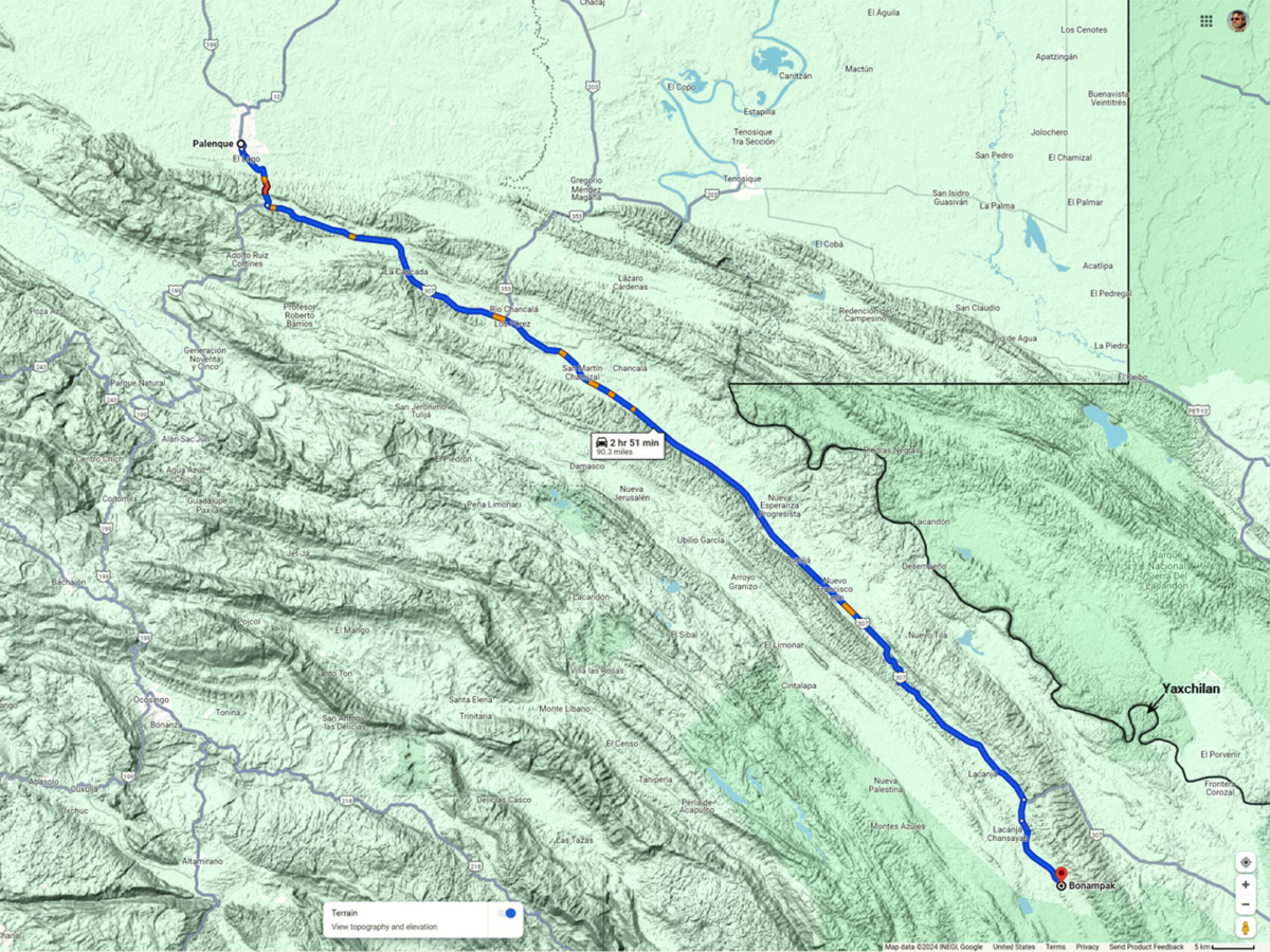
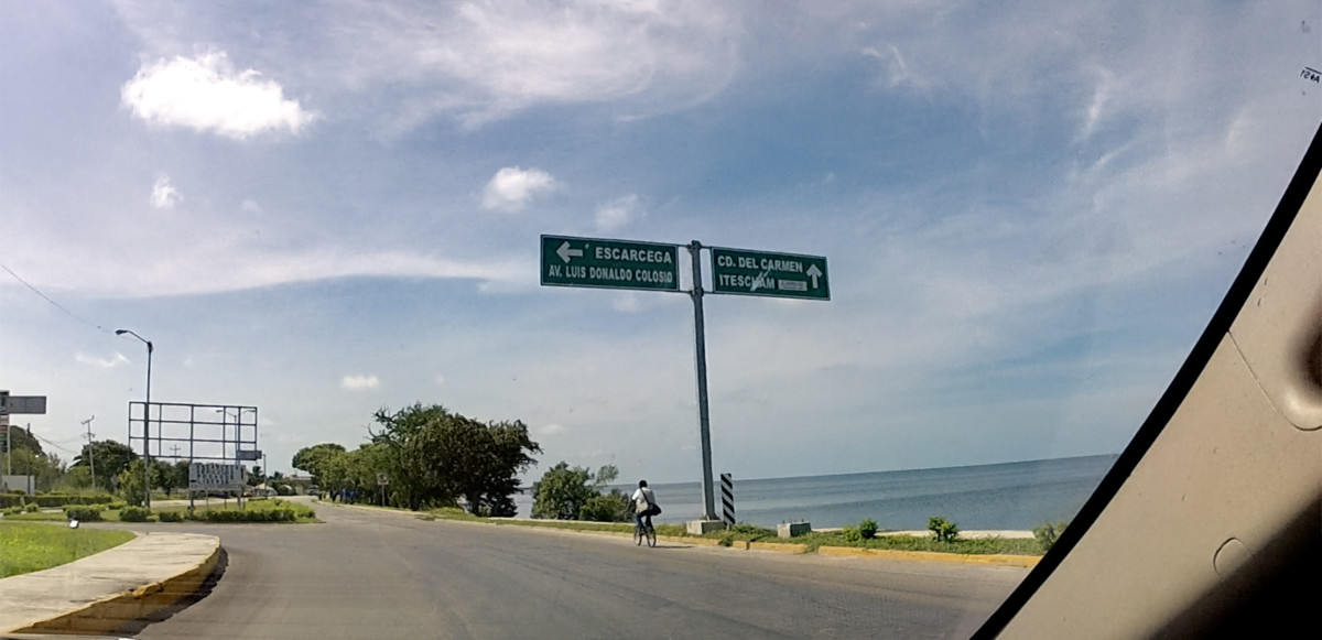
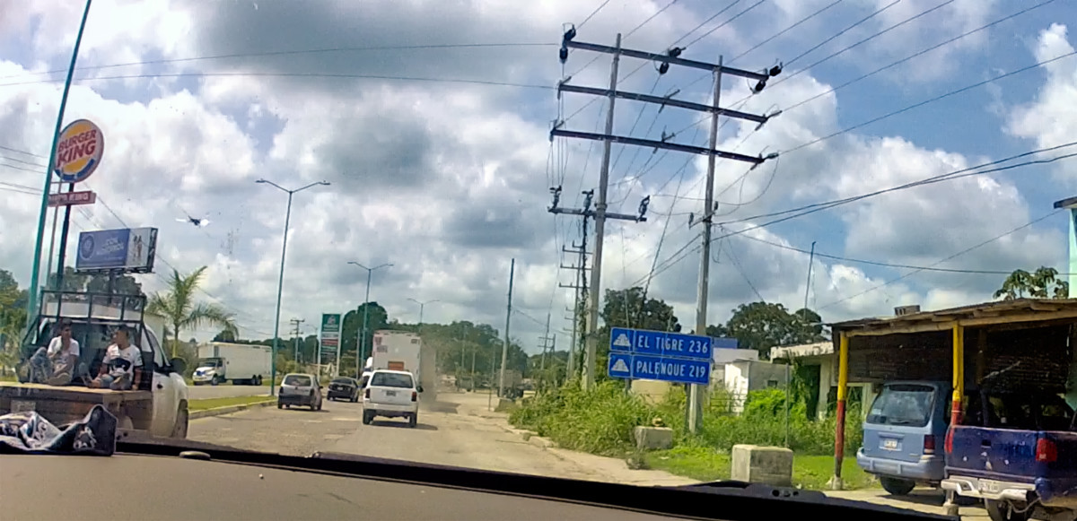
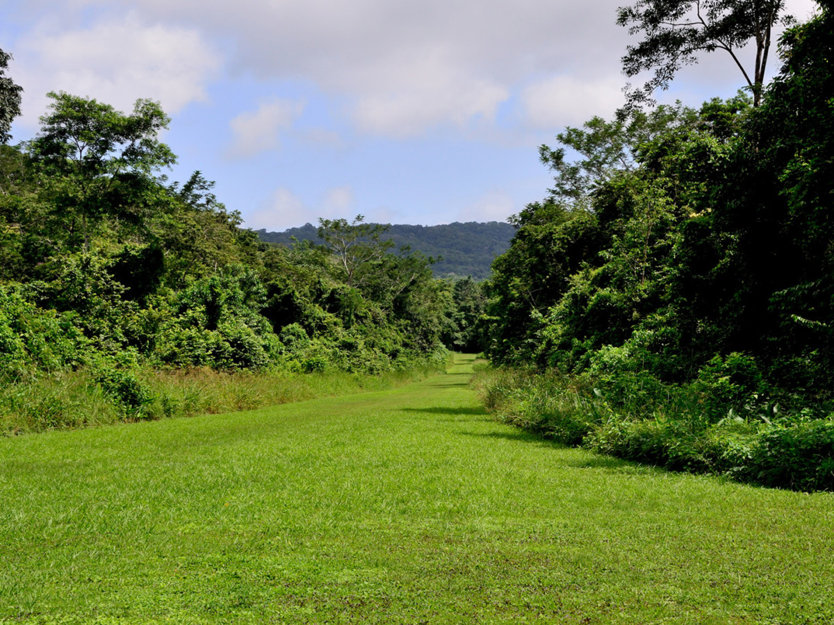
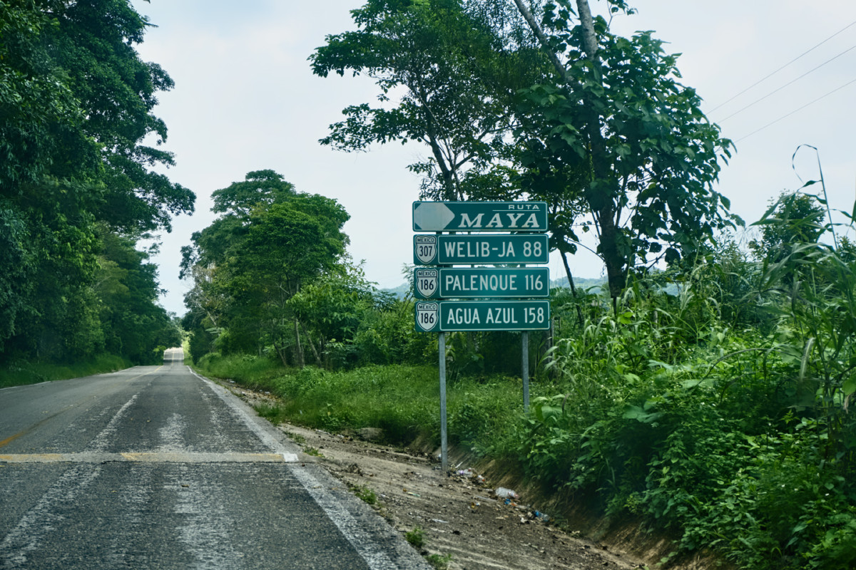
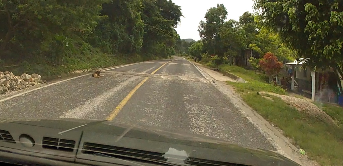
MX 307, from Palenque to Bonampak
The illegal activity, much of which takes place on or near the Highway, was happening mostly at night, under the cover of darkness; we were assured that the road was considered safe during daylight hours, because it was heavily patrolled by the military and the Federales. We were told to expect a lot of soldiers and road blocks, but not a lot of traffic, and as long as we were back in Palenque before sundown, we shouldnt expect any trouble. We followed that advice, and indeed, we didnt have any trouble, but keep in mind, this was in 2015, almost ten years ago. In the time that has passed since our visit, the situation with the Cartels has gotten immeasurably worse, and the gangs now operate with impunity at all hours of the day and night.
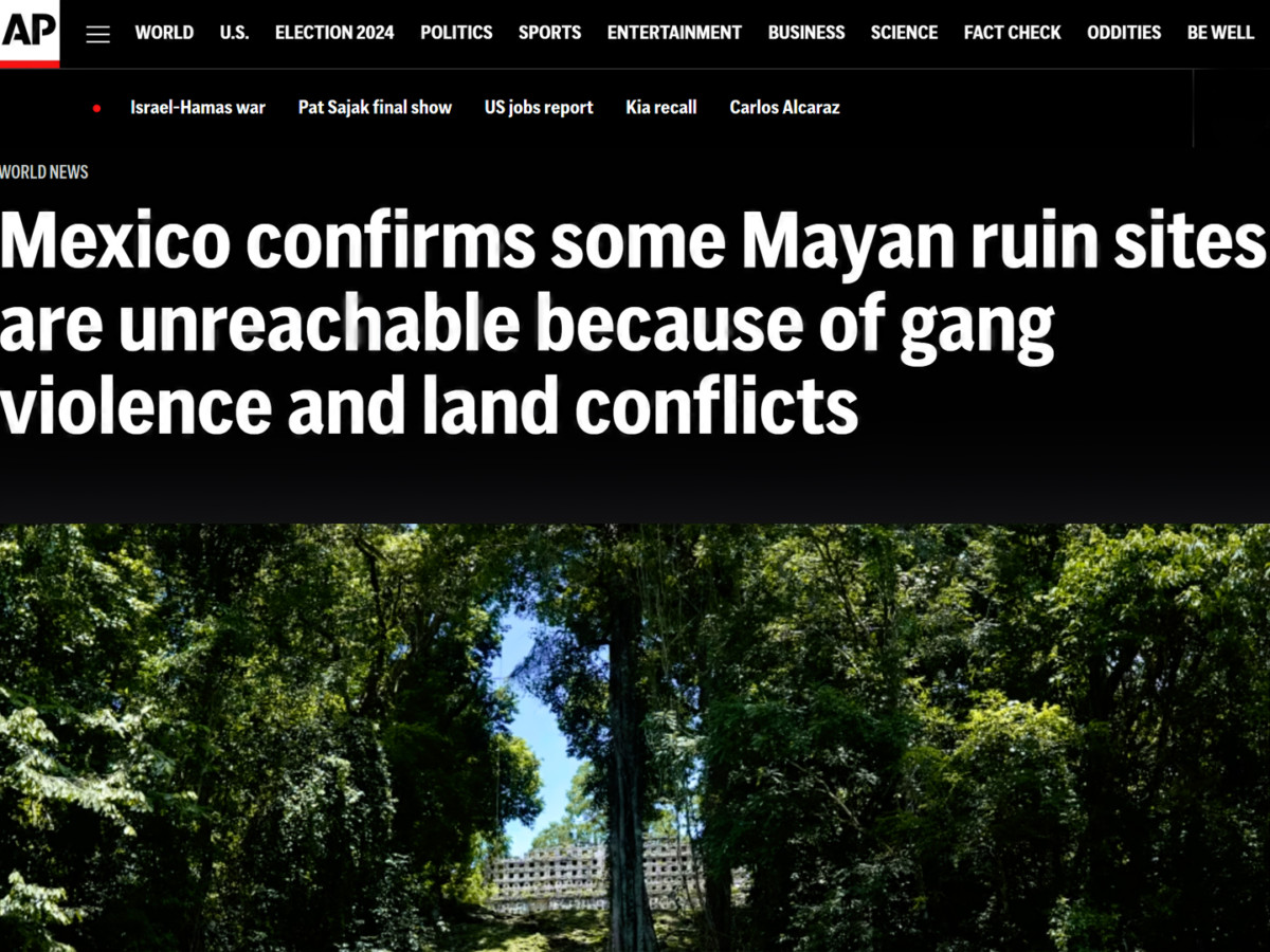
Article from the AP dated January, 2024
In an article dated January of 2024 (click the link), the Associated Press reports that Cartel gunmen are effectively in control of the roads in this part of Chiapas, and anyone wishing to visit the Mayan ruins has to pass through their checkpoints. Yaxchilan, a major ruin near Bonampak that was formerly accessible only by boat, is no longer accessible at all, at least, not from the Mexican side of the border, and Bonampak itself is not recommended for tourists (despite assurances from INAH, the National Institute of Anthropology and History, insisting that its safe).
Many of the guided tours that take visitors from Palenque to Yaxchilan and Bonampak have been suspended, a devastating blow to the local economy, which is heavily dependent on income from tourism. One guide who was interviewed said that it was getting to be like the Gaza strip down there: armed gangs shooting it out with one another, heedless of the innocents caught in the crossfire. If I was to go back to Chiapas today, Id probably have to skip Bonampak, so Im certainly glad that we went when we did. That little ruin was the cherry on the top of our Mayan adventures, different from anything else that we experienced. Read on, if youd like to know what it was like, when we drove:
The Road to Bonampak
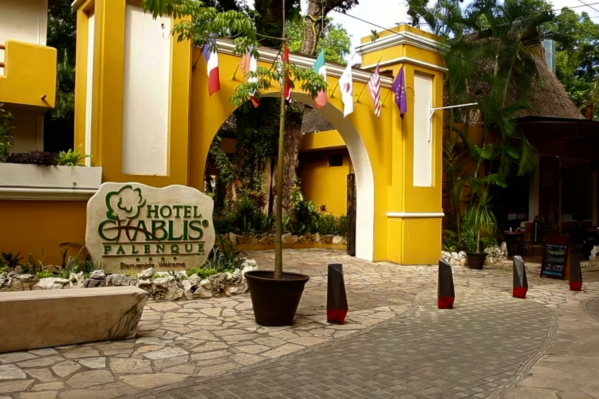
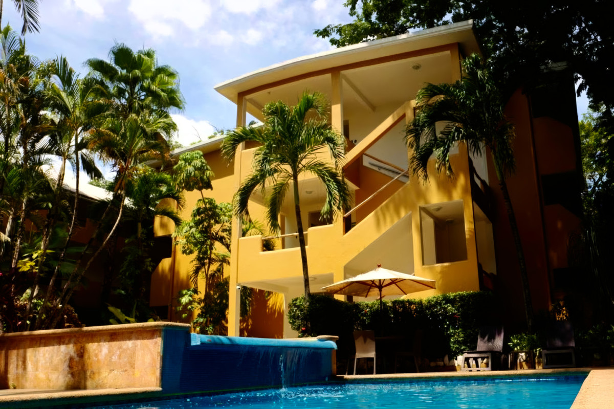
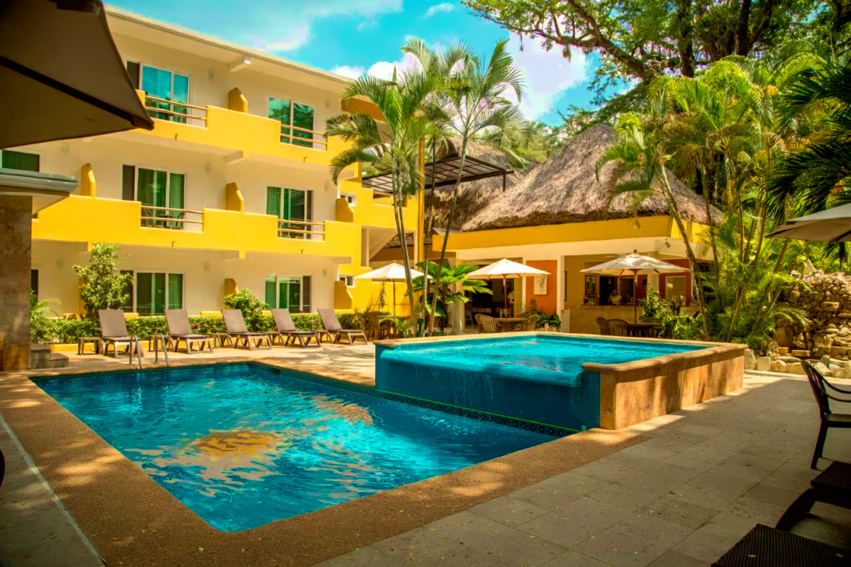
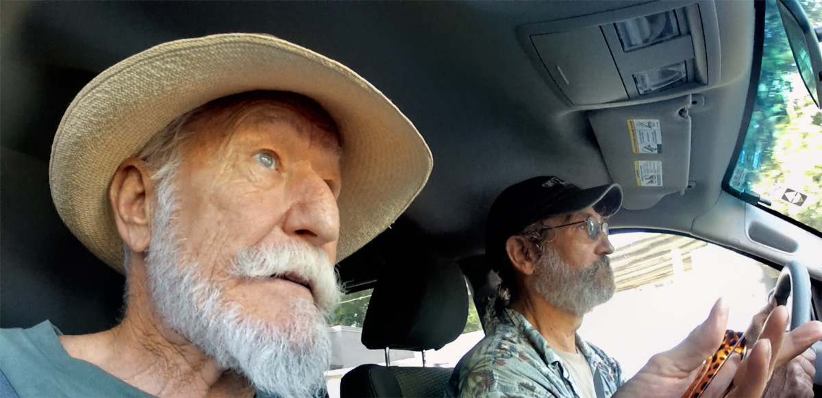
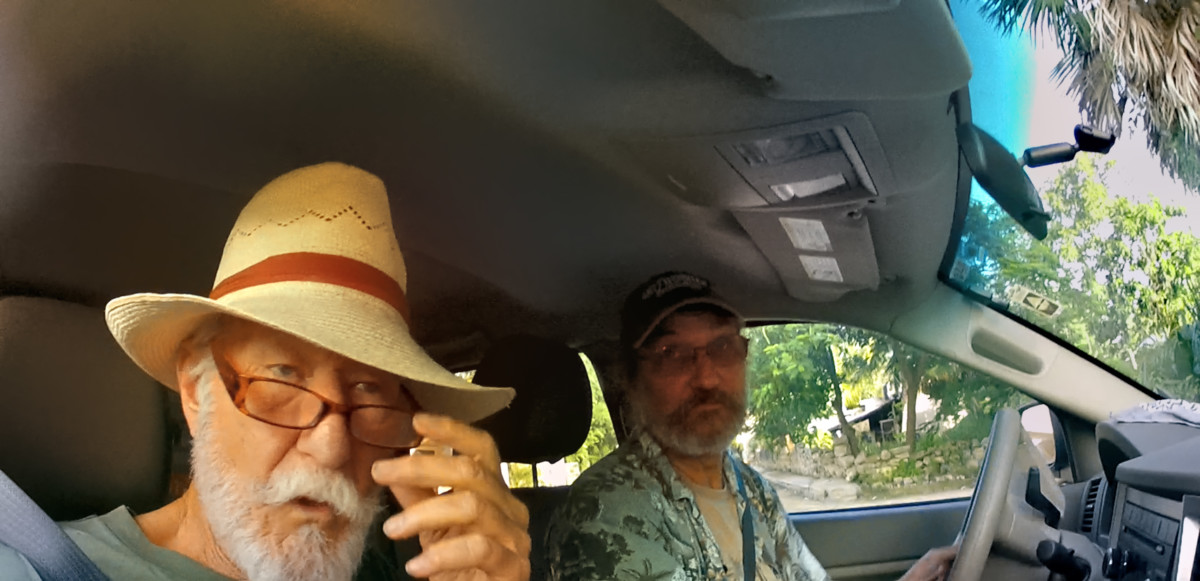
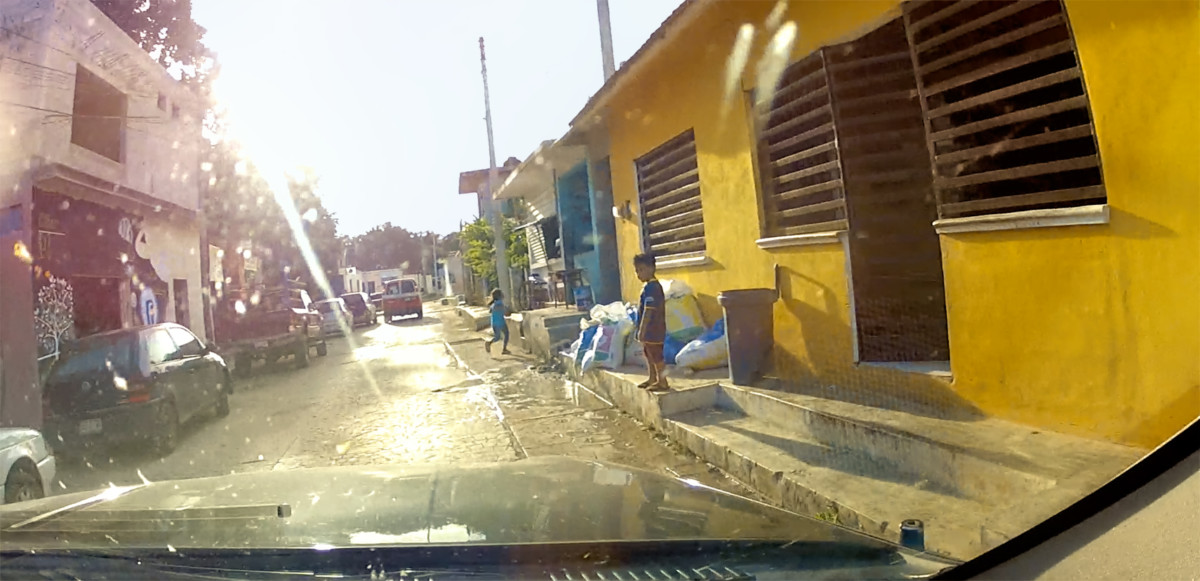
Our hotel had a gated parking area. Oddly, my Jeep was the only vehicle using it during the time we were there. I got the sense that most visitors to Palenque arrive on buses, or else they fly in to the little airport. Road trippers from the U.S., like me and Mike, werent remotely common in this part of Mexico.
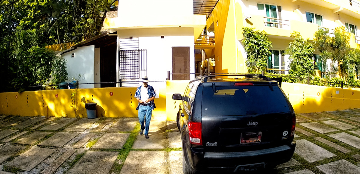
Secure parking at the Hotel Chablis in Palenque.
The 180 mile round trip we were about to take really wasnt much compared to most of our driving days, but we were going deep into a very rural area, where we werent likely to find much in the way of services.
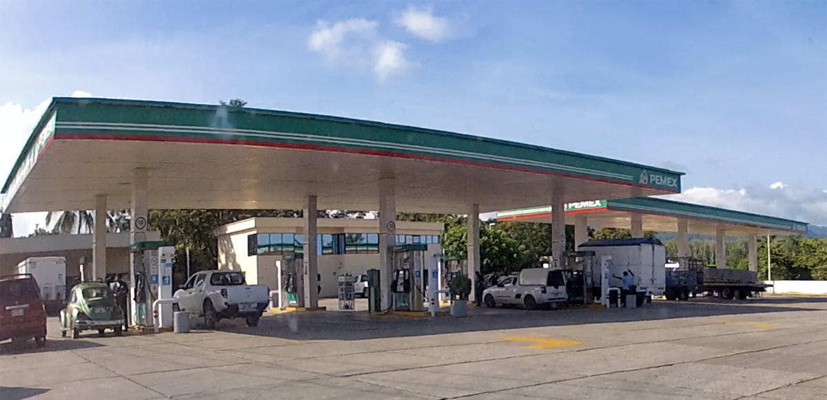
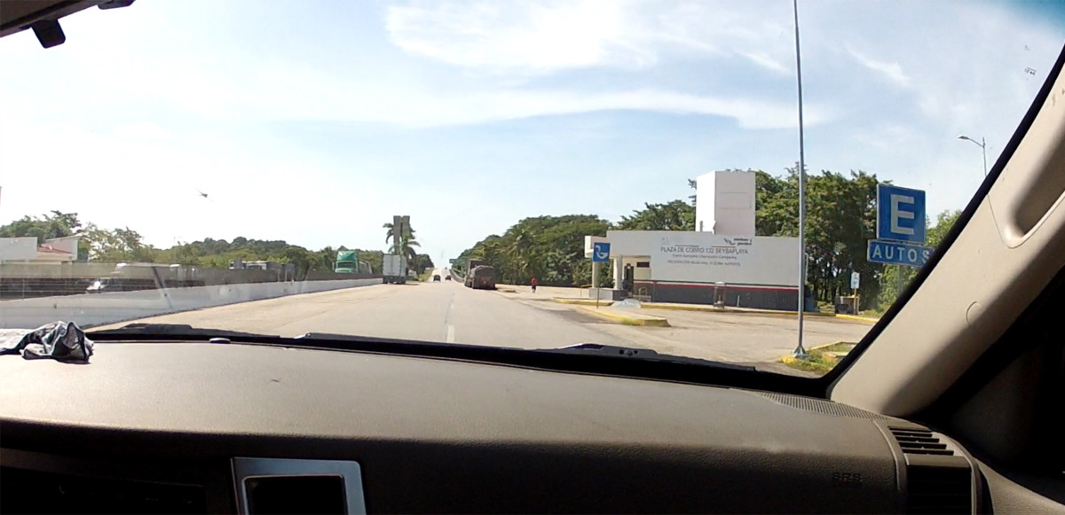
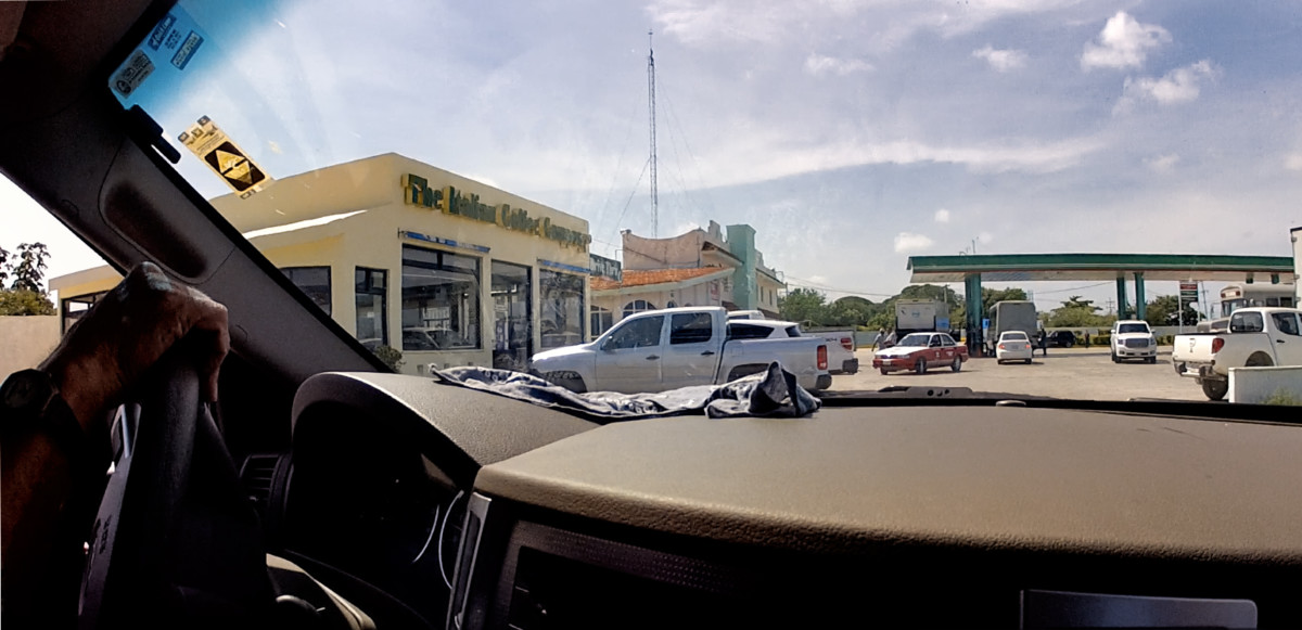
We stopped at the Pemex gas station on our way out of town, and I asked the attendant to llenarlo, (fill it). We only needed a few gallons to top off the tank, but for all I knew, this might be our last chance to buy fuel before the end of the day.
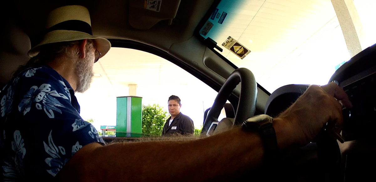
Pemex station in Palenque: Last Gas Before Bonampak. Attendants do the pumping; theres no self-service!
In the U.S., pump jockeys at service stations were a thing of the past, but in Mexico, theyre a fact of life, and for me, a nostalgic throwback to my youth.
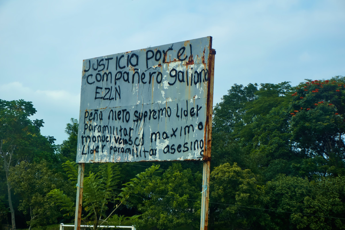
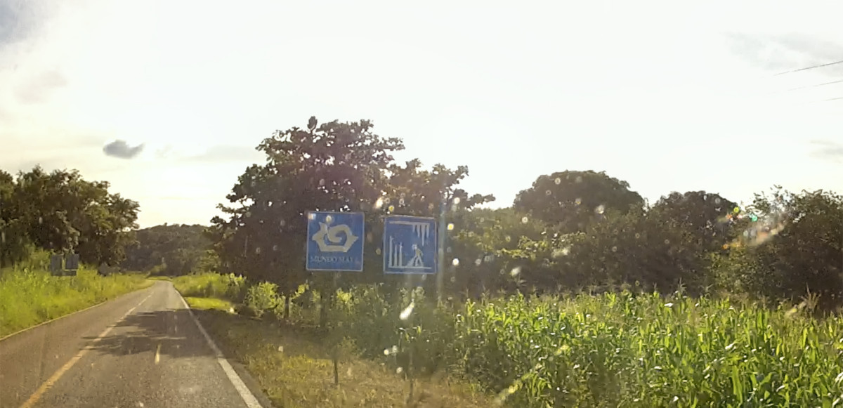
The route out of town was familiar: we started out on MX 199, the highway that crosses the mountains to San Cristobal de las Casas. We drove that road after our first visit to Palenque, two weeks before, but wed only made it as far as Ocosingo before a Zapatista Road Block forced us to turn around. Most of the State of Chiapas was Zapatista territory, and we started spotting their road signs (below) as soon as we left Palenque. (Enrique Peña Nieto, referenced on the signs, was Mexicos President in 2015.)
ZAPATISTA ROAD SIGNS IN CHIAPAS
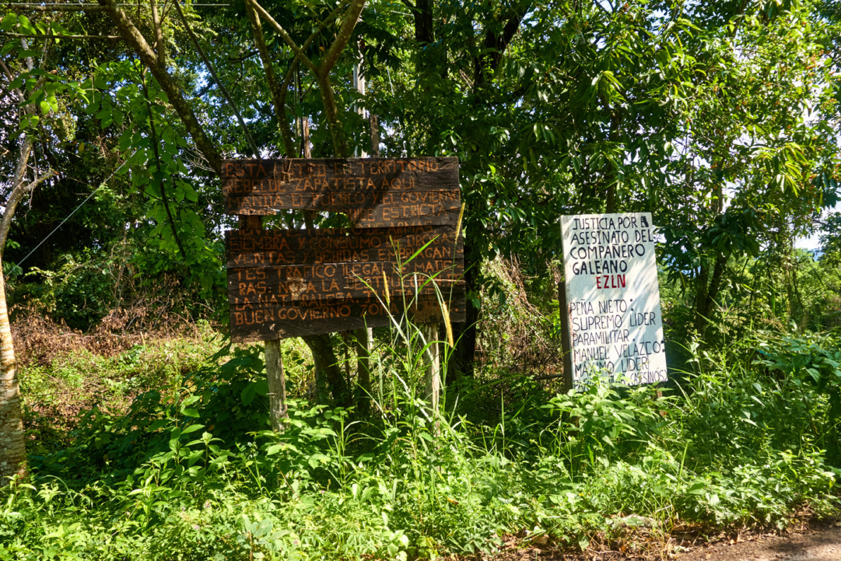
Sign on the left:
You are in Zapatista rebel territory. Here the people rule, and the government obeys. The trafficking of weapons, planting and consumption of drugs, sales of intoxicating beverages, illegal trafficking of wood and destruction of nature are strictly prohibited.
Good government board, Northern Zone
Sign on the right:
Justice for the murder of comrade Galeano ELZN.
Peña Nieto: Supreme Paramilitary Leader.
Manuel Velazco: Maximum leader for the murderers
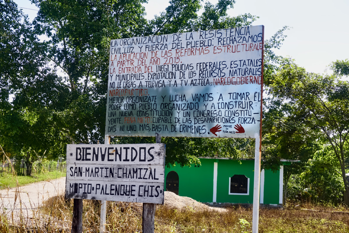
Welcome! San Martin-Chamizal; Palenque, Chiapas
The organization of civil resistance: Light and strength of the people.
We reject the application of structural reforms starting in 2015, the entry of INEGI, federal, state, and municipal police, and exploitation of natural resources. Dont believe Televisa and T.V. Azteca. Narco-government, Narco-party.
Better get organized and fight, we are going to take power as an organized people and build a new constitution and a constituent congress.
Peña Nieto: Guilty of forced disappearances. Not one more, enough crimes.
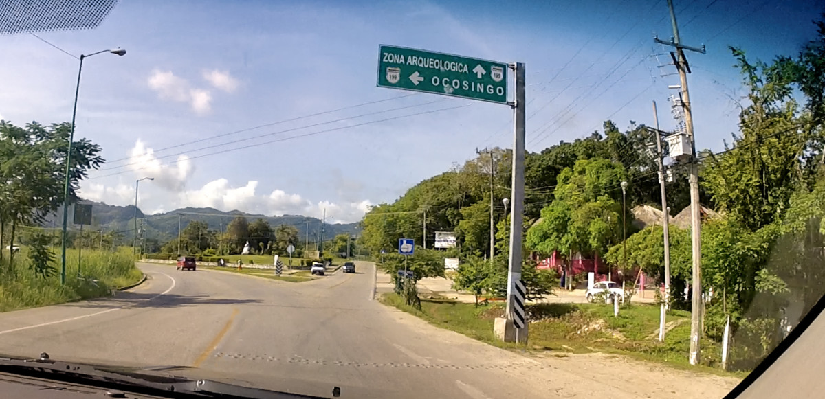
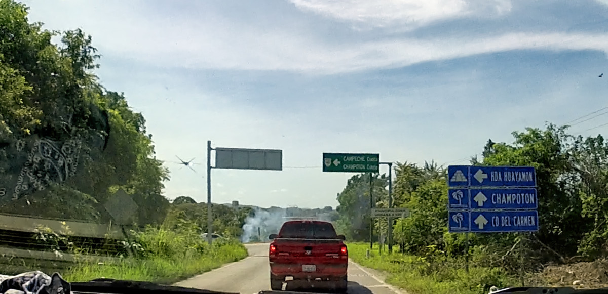
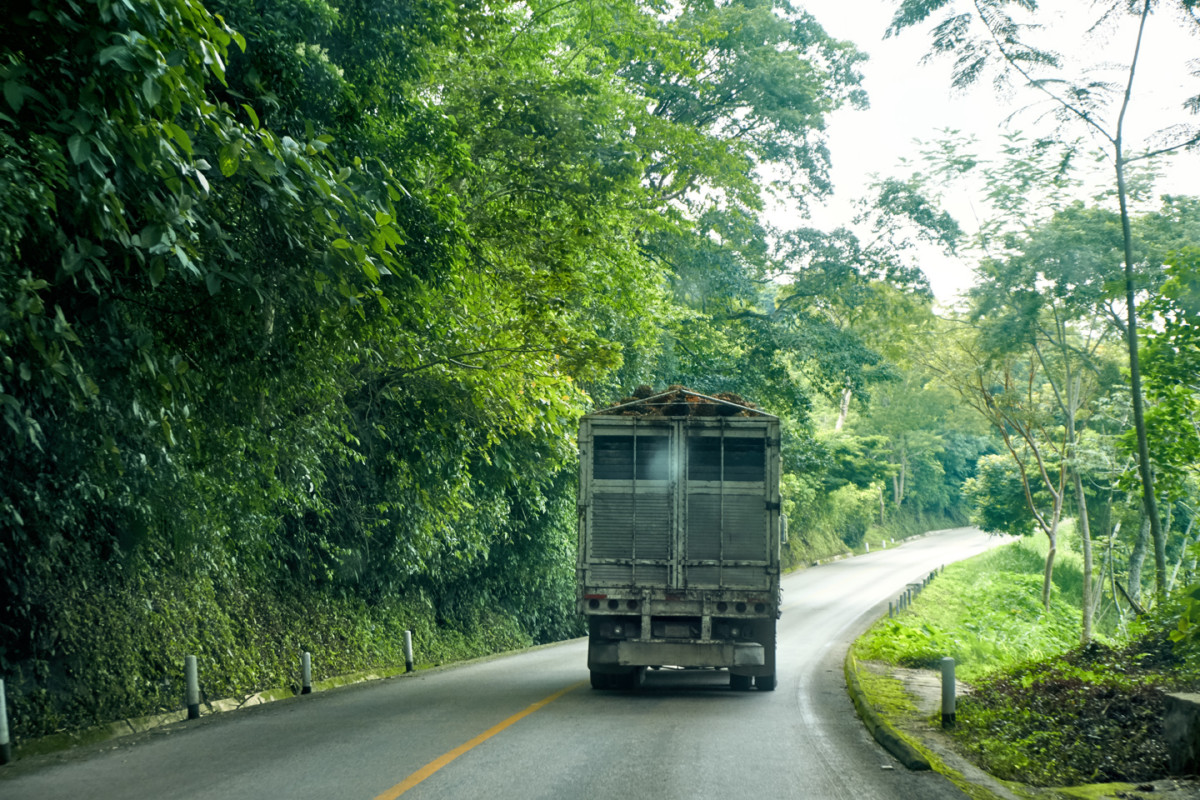
Fortunately, the road to Bonampak was not one of the routes that was subject to blockade, so once we made the turn onto MX 307, we were pretty much safe from delays due to political protests.
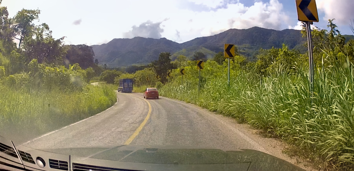
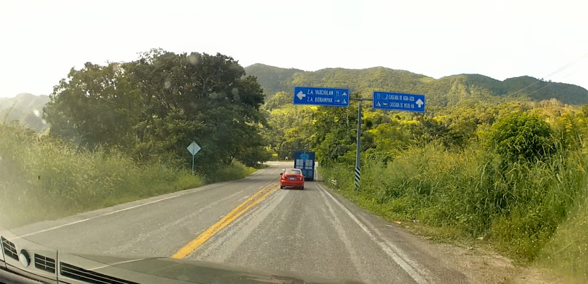
MX 307
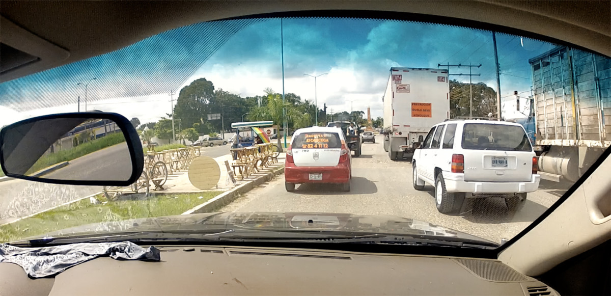
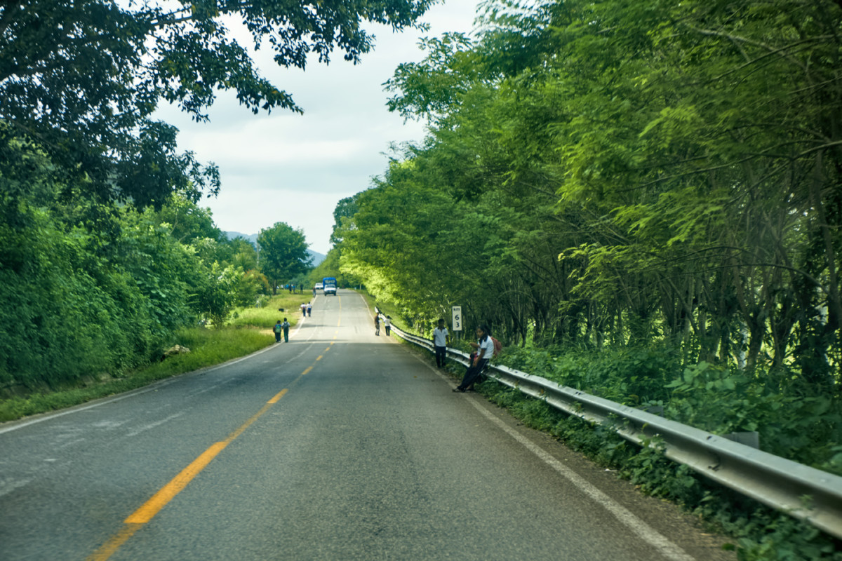
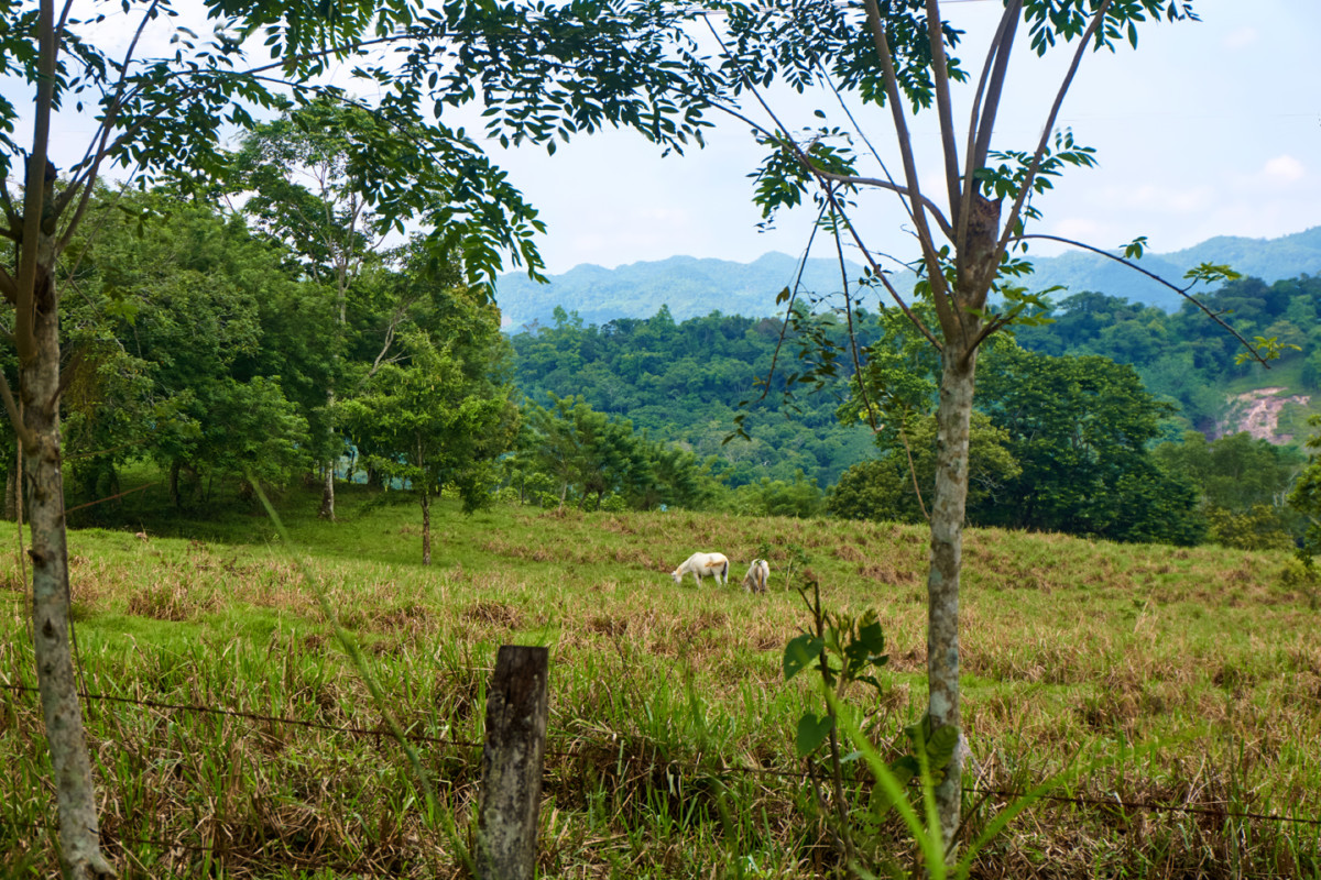
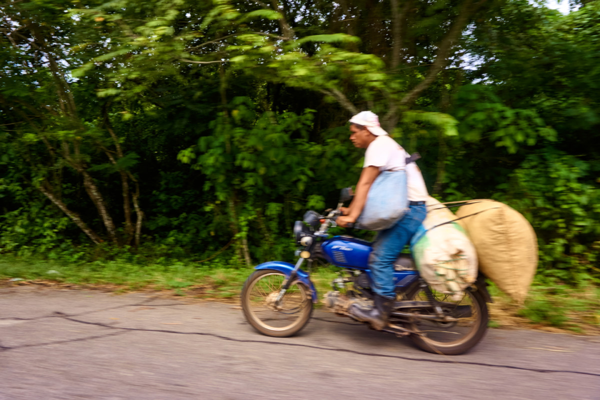
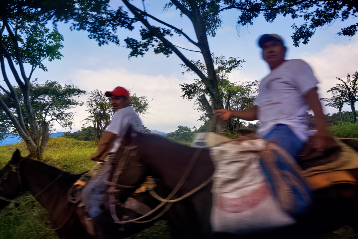
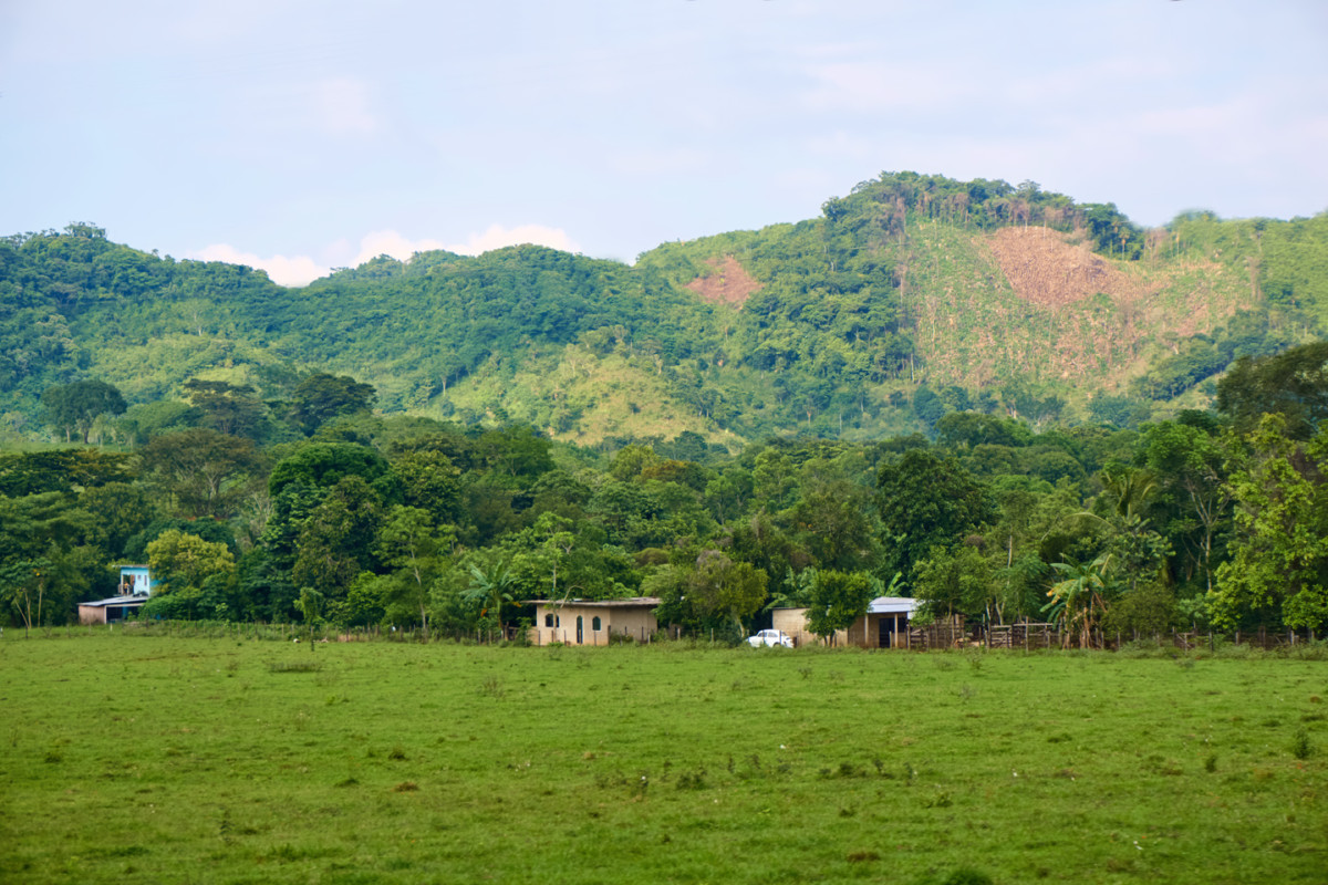
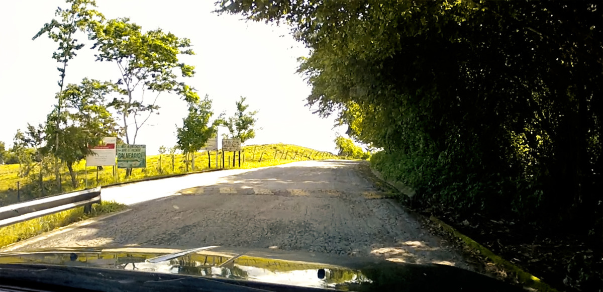
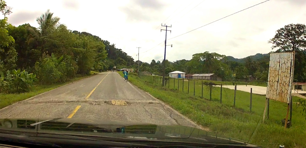
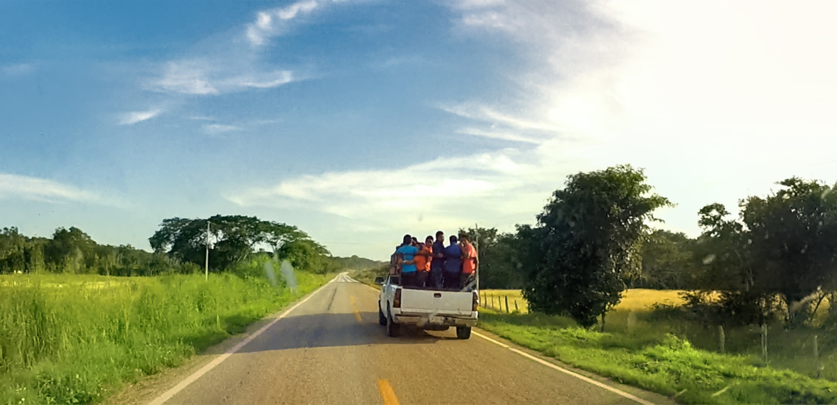
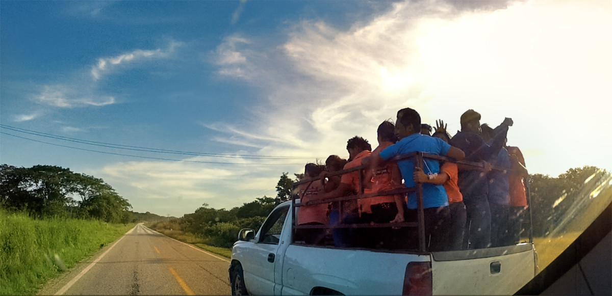
Wed driven a number of isolated rural highways, most recently when visiting the Mayan cities along the Ruta Puuc, but this one, MX 307, was a special case. It is the ONLY road for many miles around, which makes it a critical lifeline for area residents; the only way to get from A to B.
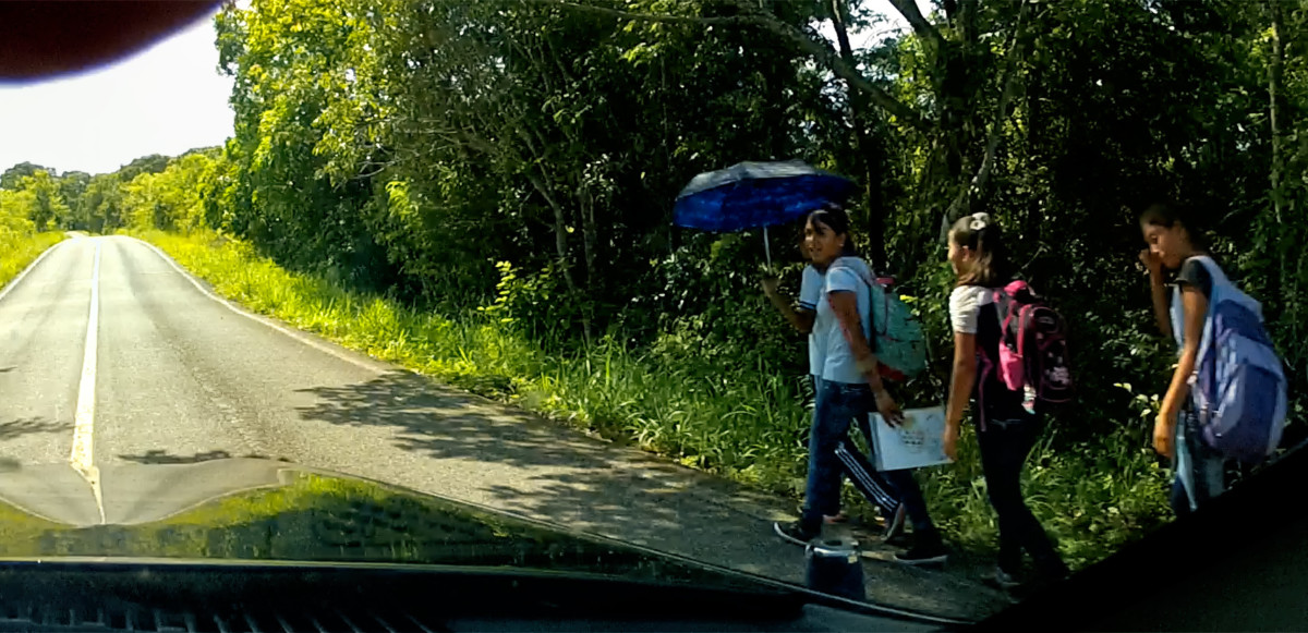
We drove by a group of kids walking to school with their backpacks
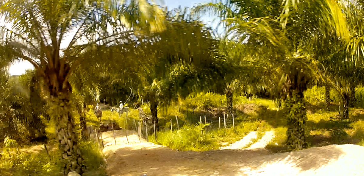
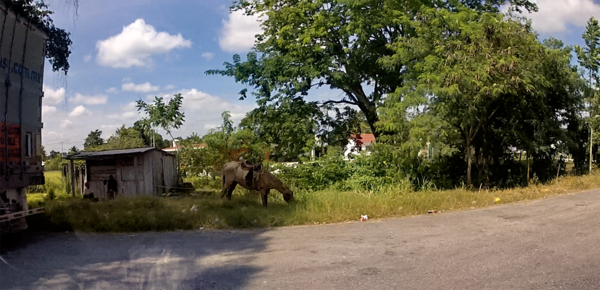
as well as farmers doing their work on horseback.
It was almost as if the different generations were living in different centuries!
Scenes along MX 307: Loading produce.
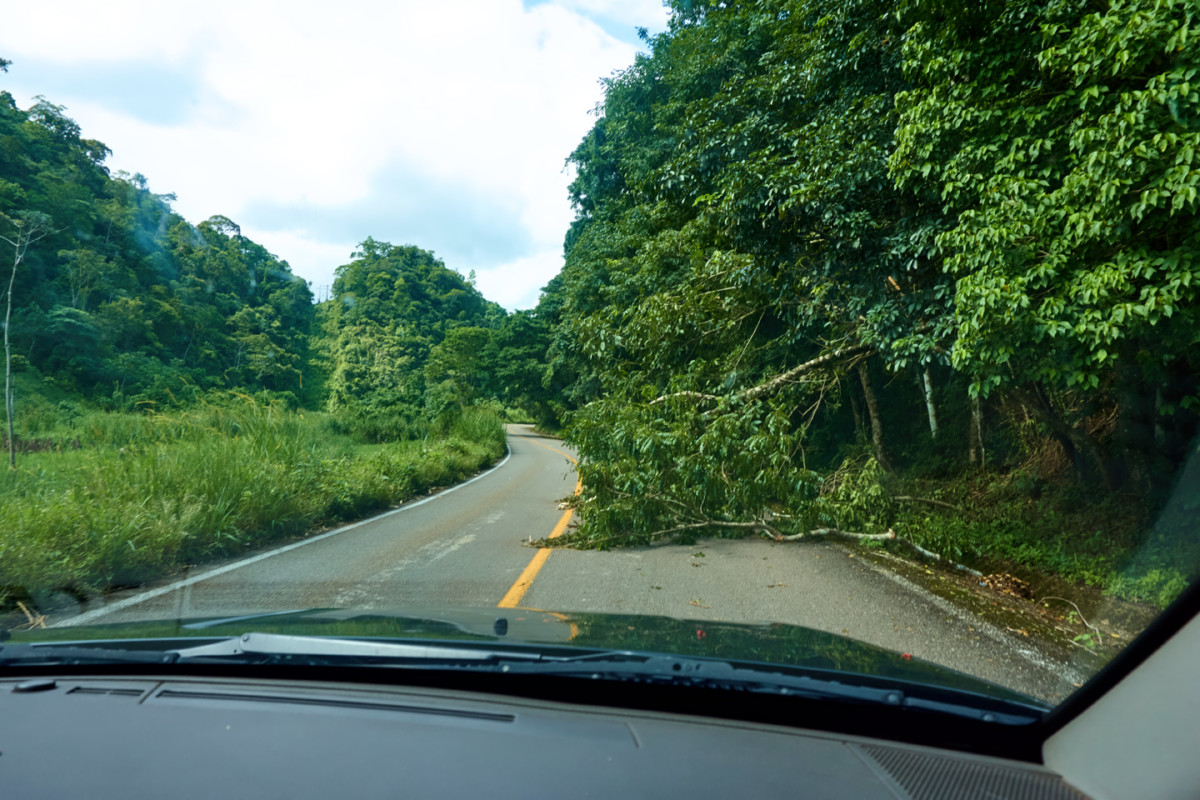
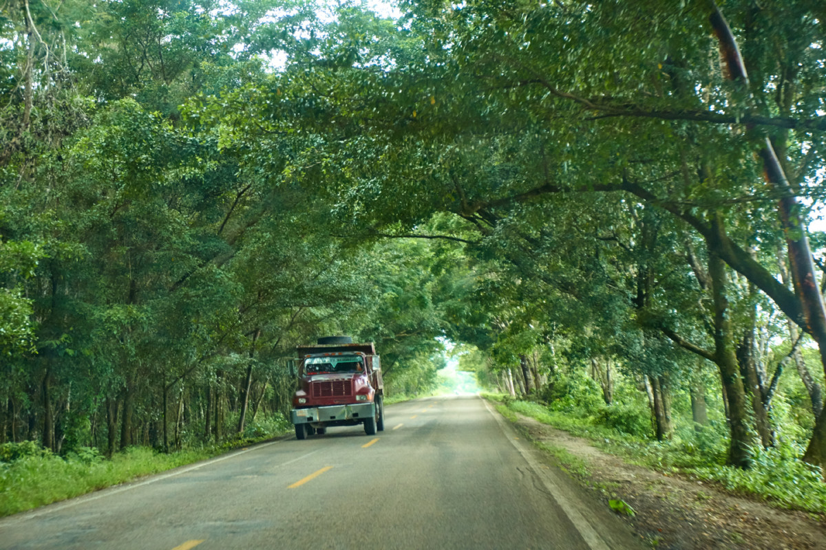
The highway was built through the heavily forested hills of the Lacandon jungle. Its the kind of road that requires continuous maintenance:
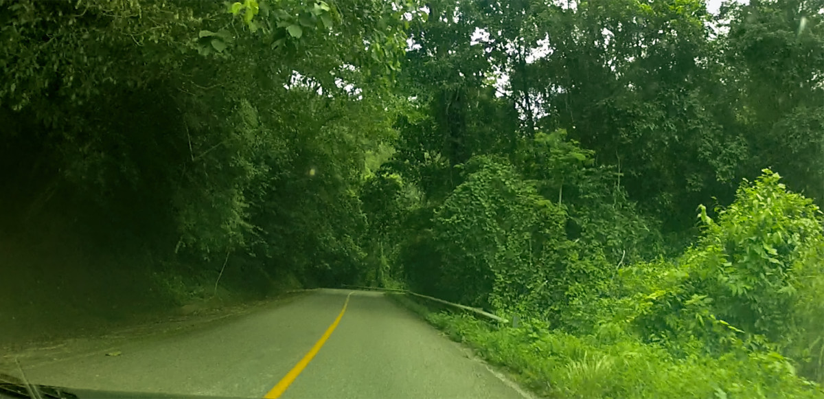
The jungle closes in on both sides of the road
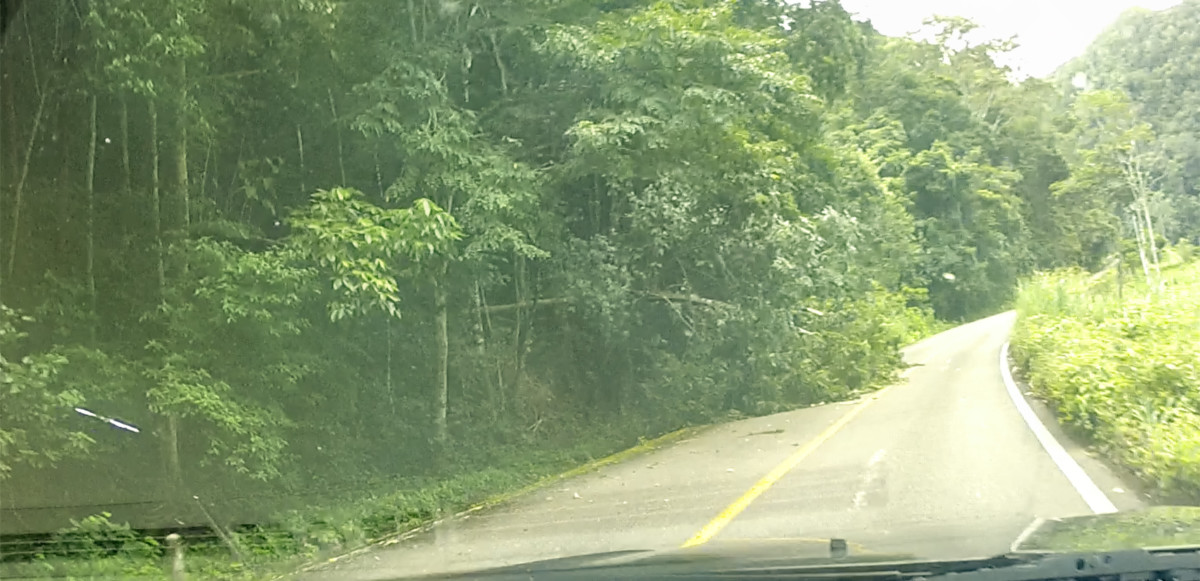
we passed one area where a newly downed tree blocked the lane
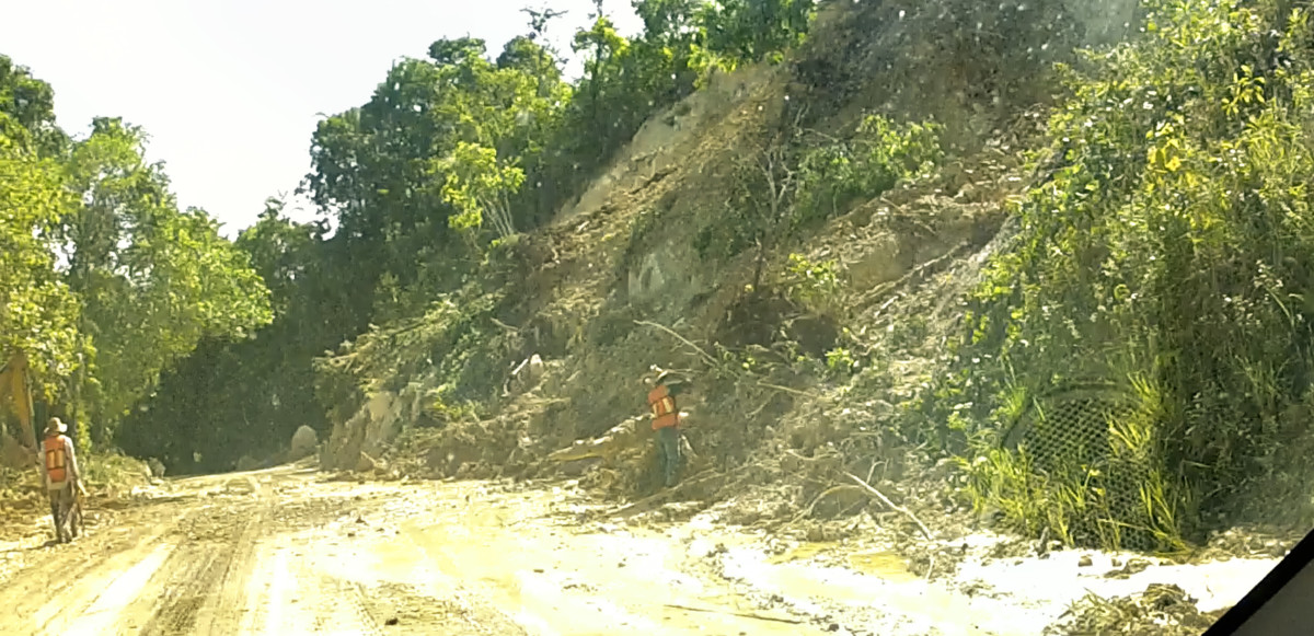
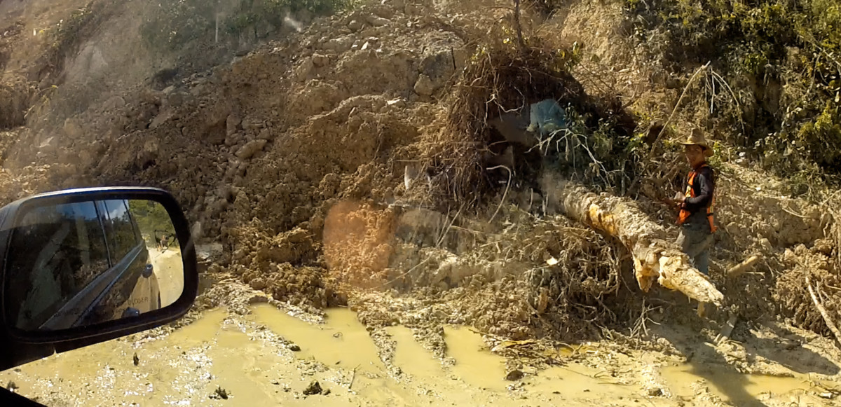
A bit further along, two guys with shovels were working to clear a mudslide that nearly closed the road altogether.
In the land of the Maya, any time you see an isolated hill with a conical shape, good odds that its a pyramid thats never been cleared.
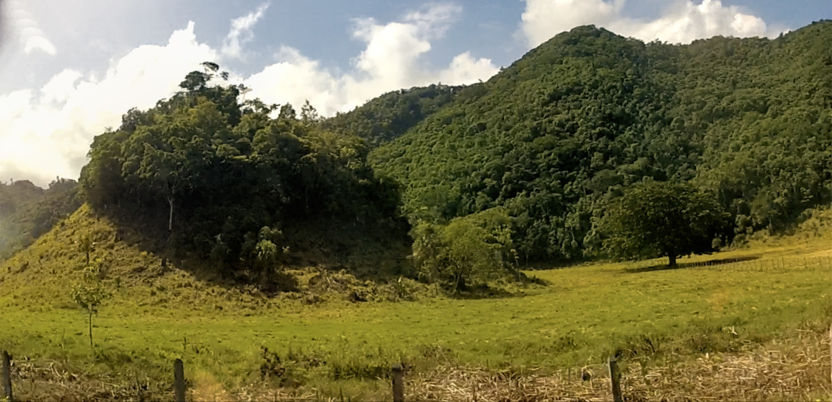
This formation (above) is a good example. There are hundreds of Maya sites that have been identified, but never excavated due to lack of funding.
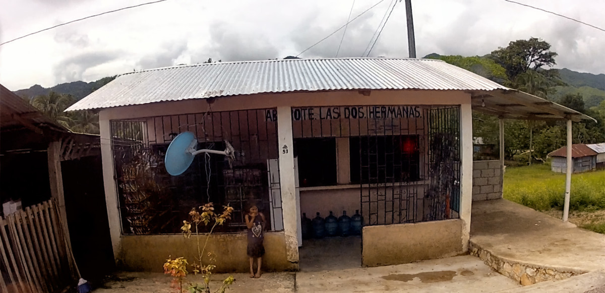
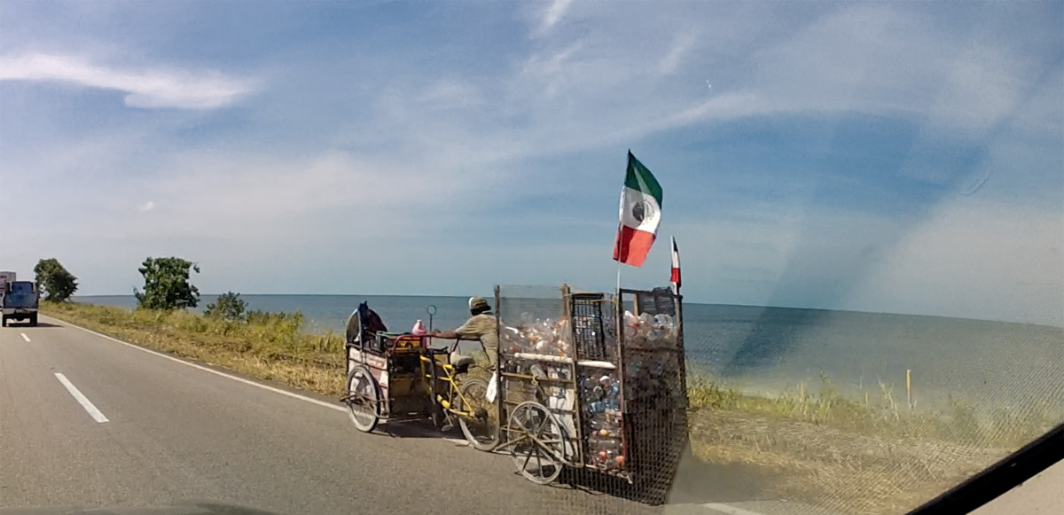
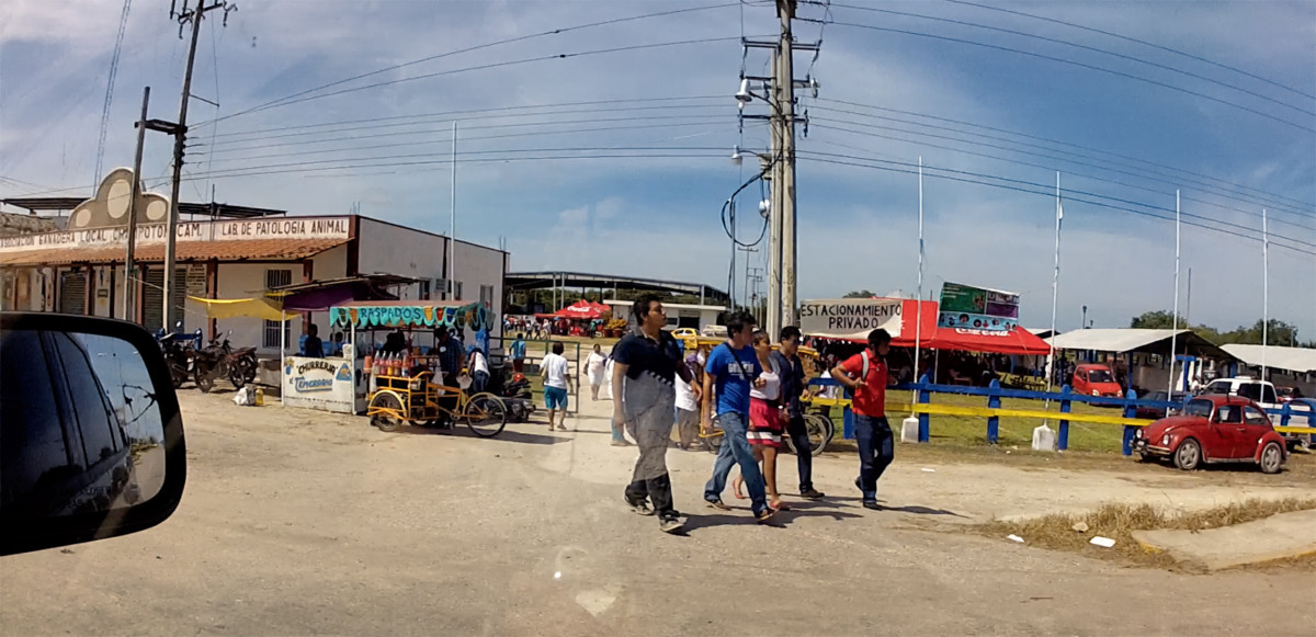
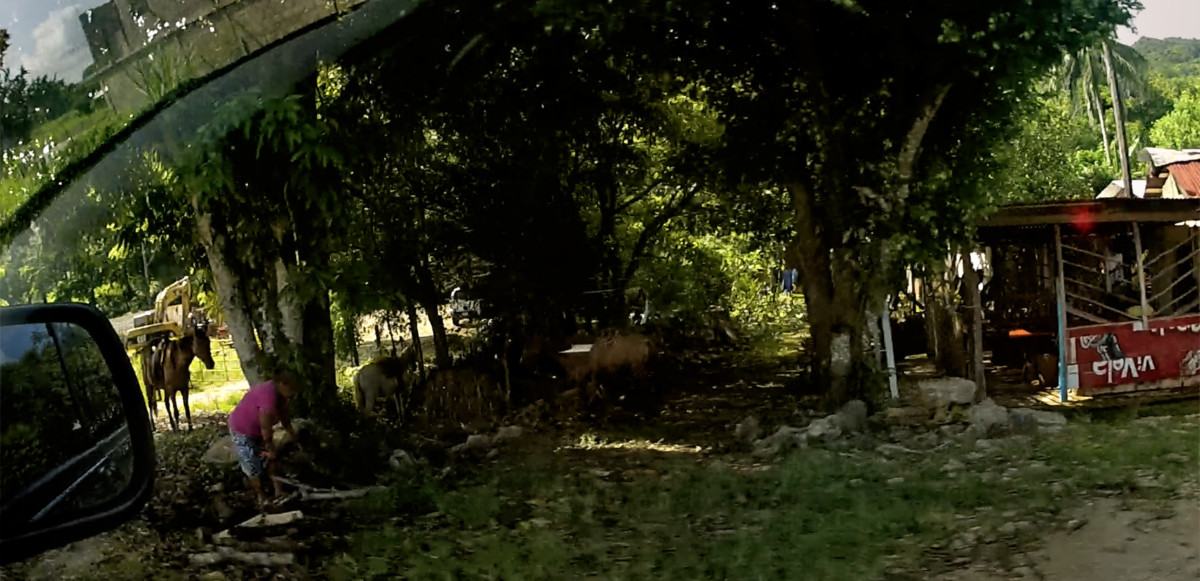
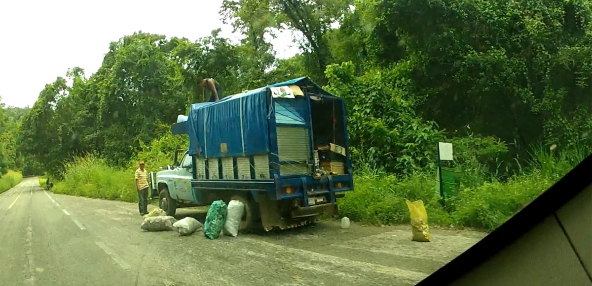
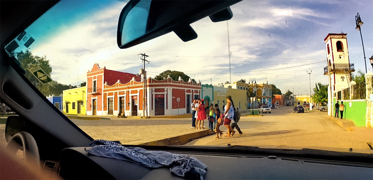
Scenes along MX 307, including the Abarrote Dos Hermanas, (Two Sisters Grocery).
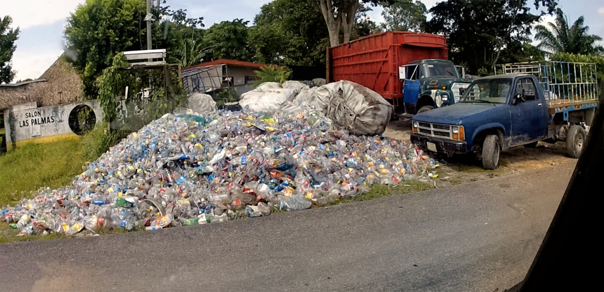
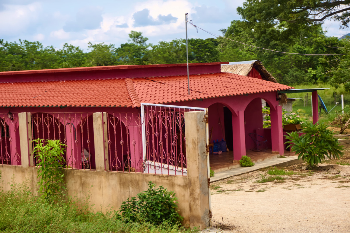
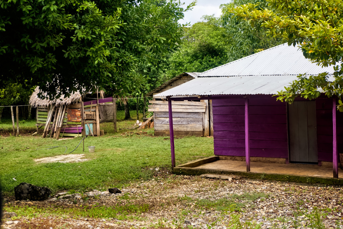
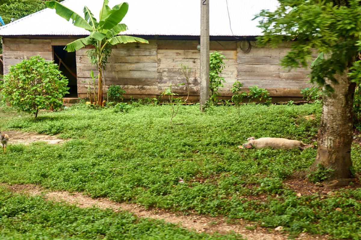
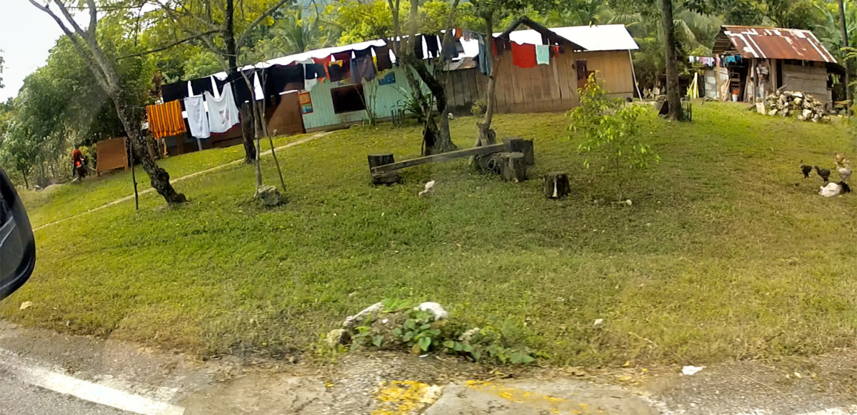
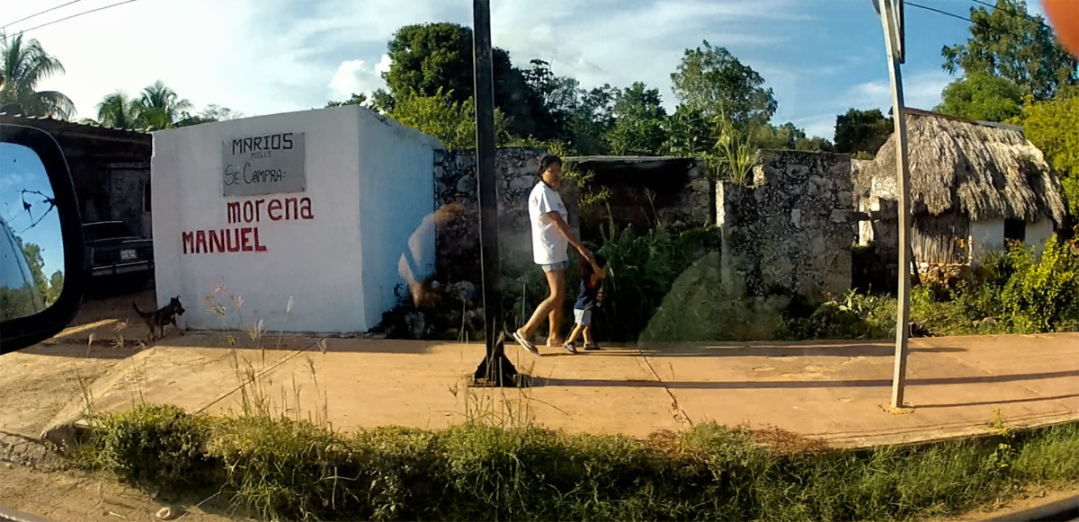
There were no towns of any size along this route. Instead, there were clusters of ramshackle homes strung out alongside the highway, a few here, a few there. The peoples lives and economic status were on full display for anyone driving past, out there on their wide open porches, and hanging on their clothes lines.
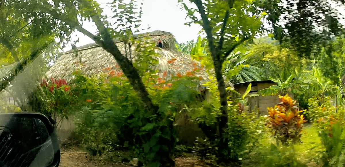
Some of the homes had traditional thatched roofs, a time-tested construction method that has the advantage of low-to-no cost for the materials and labor, which is usually supplied by friends and neighbors, using dried palm leaves grown locally and prepared in advance. A big enough group will knock out a roof like that in less than a day. There are two problems with thatched roofs: they require frequent re-weaving to keep them from leaking, and they harbor entire colonies of creatures, ranging from fruit bats and mice to scorpions and venemous millipedes. Thats the main reason why anyone with the means will go for corrugated sheet metal instead, despite the fact that metal roofs are much more costly, as well as being unbearably hot when the sun shines on them, and prone to blowing away in the more serious tropical storms. Theyre considered worth the expense, the discomfort, and the risk, because metal roofs are so much cleaner, they require no maintenance to speak of, and they produce a lovely tympanic symphony in a hard rain.
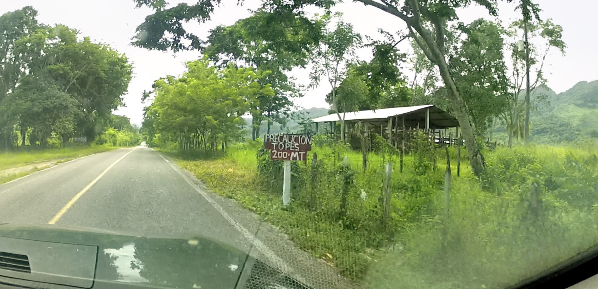
One thing about this road that was a serious annoyance was the extreme prevalence of Topes, the speed bumps installed for the purpose of slowing traffic in populated areas. MX 307 had more topes over less distance than any road wed driven, and that was really saying something. Every house, every bus stop, every side lane, they all had their own Tope, sometimes more than one (a small PRE-Tope, warning of a larger Tope yet to come). Both Mike and I were constantly on the lookout, but some of the older bumps were so blackened by skid marks that they blended with the asphalt, making them easy to miss. We hit a few of those booby traps pretty hard, despite our best efforts.

Topes, speed bumps made of concrete and asphalt, are increasingly common in every part of Latin America. When strategically placed by road junctions and in populated areas they serve as a cost-effective method for passively enforcing speed limits. Poorly designed Topes can damage your vehicle if you hit them too hard, so drivers learn rather quickly that its best to treat them all with cautious respect. Some Topes are wide, and gentle, painted in bright yellow stripes, marked by multiple warning signs as you approach. Others come at you with no warning at all, and theyre sharp enough to blow your tires if you strike them at speed. (Its not uncommon to see a shack beside the road near a bad Tope, advertising Servicios Vulcanizadora (Vulcanization: old-fashioned tire repair). Regardless of what you might think of them, Topes are an irrefutable fact of life on Mexicos Highways. All you can really do about them is SLOW DOWN! (Which is pretty much the whole point). This is a challenge you dont get to win.
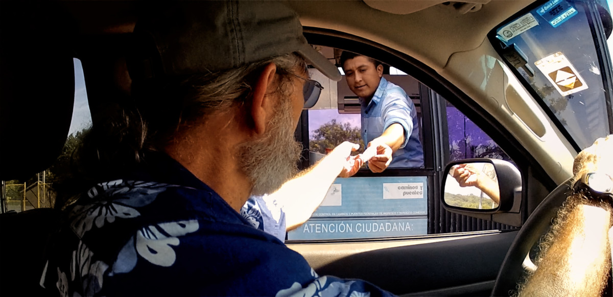
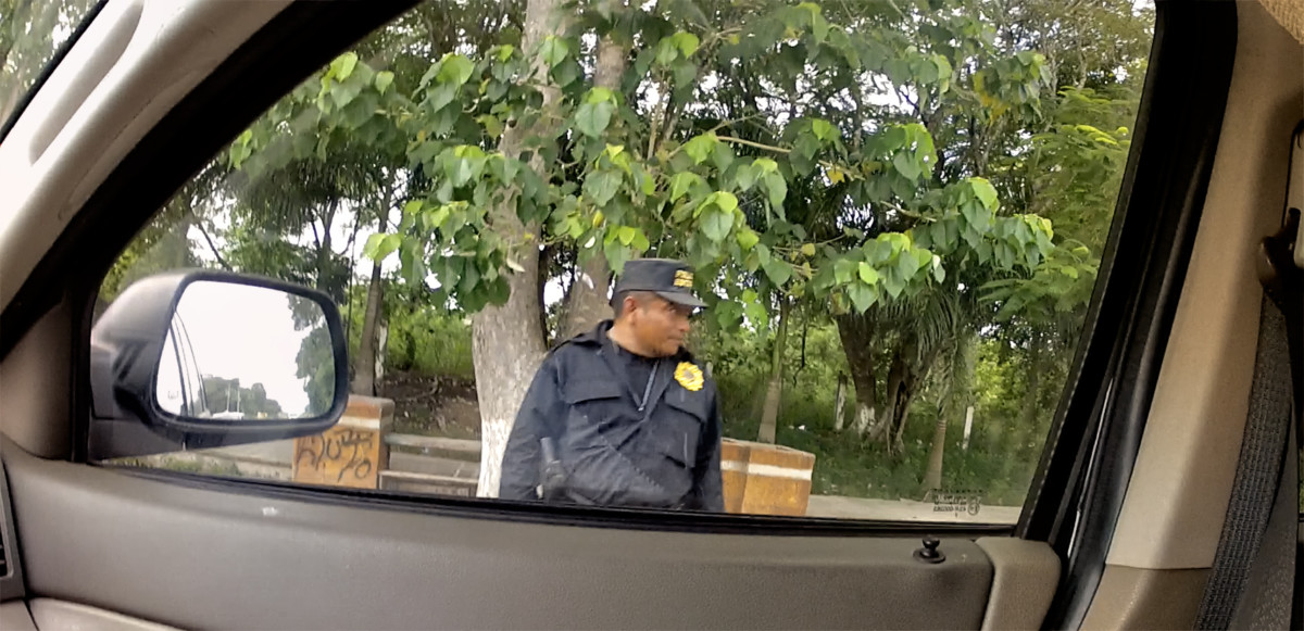
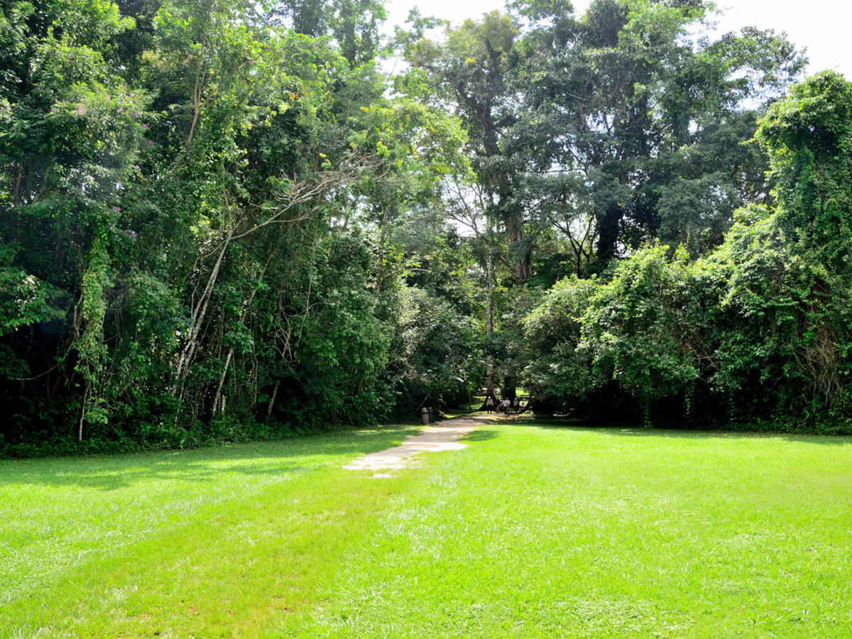
When we got close to Bonampak, we had to stop and pay a fee of fifty Pesos each for entry to the Zona Arqueologica.
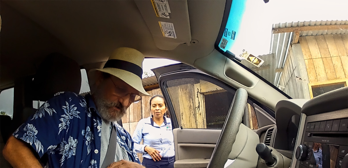
The attendant explained that there would be separate fees of 100 Pesos each for entry to Bonampak or Yaxchilan.
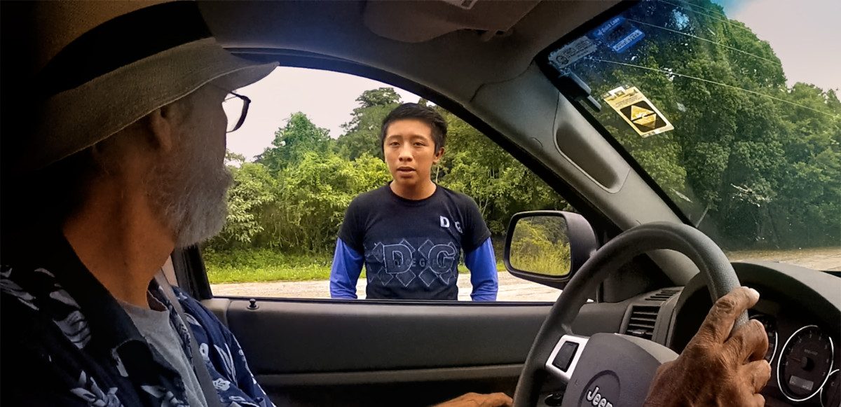
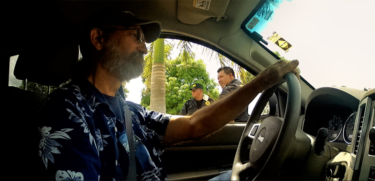
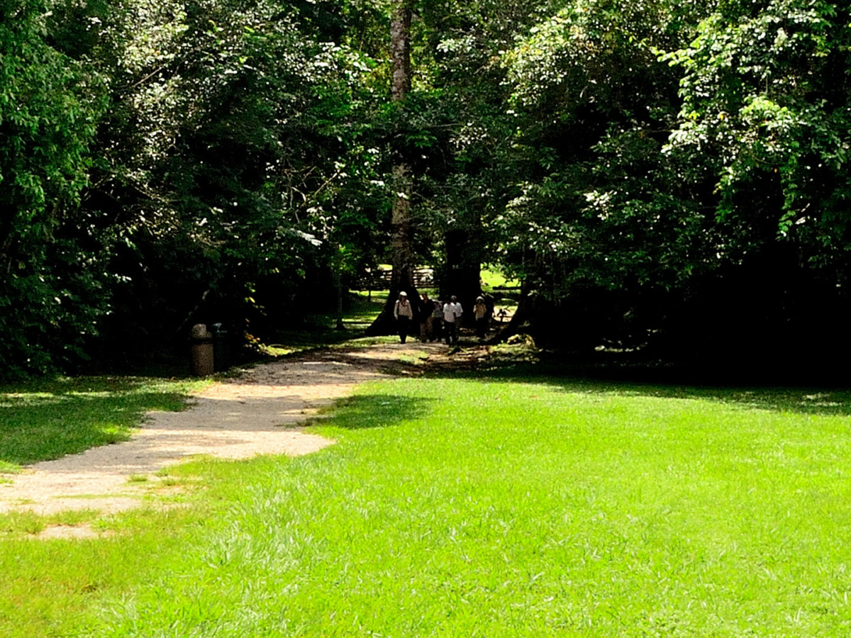
A mile or so up the road, we were stopped again by a young Mayan lad, who explained the setup
.
Unlike the other Mayan cities wed been to, visitors were not allowed to drive themselves to either of these sites. We werent planning to go to Yaxchilan, but if we did, the closest they allow you to get by road is a parking area near the Usumacinta River. For a fee of 400 Pesos each, a launch takes you down river to the ruins, and brings you back again.
As for Bonampak, private vehicles were not allowed on the road from the highway, so visitor parking was here, by the turnoff from MX 307. There was a van that would shuttle us the last five miles to the ruins (and back again), for a fee of 100 Pesos each. The extra fees were unexpected, but I honestly didnt mind paying. The money went to a co-op that benefitted the local community, and the income was obviously much needed.
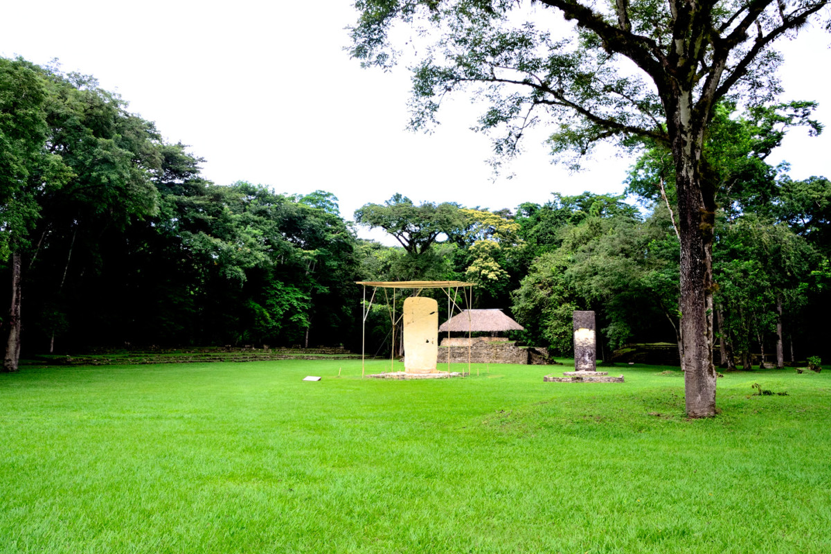
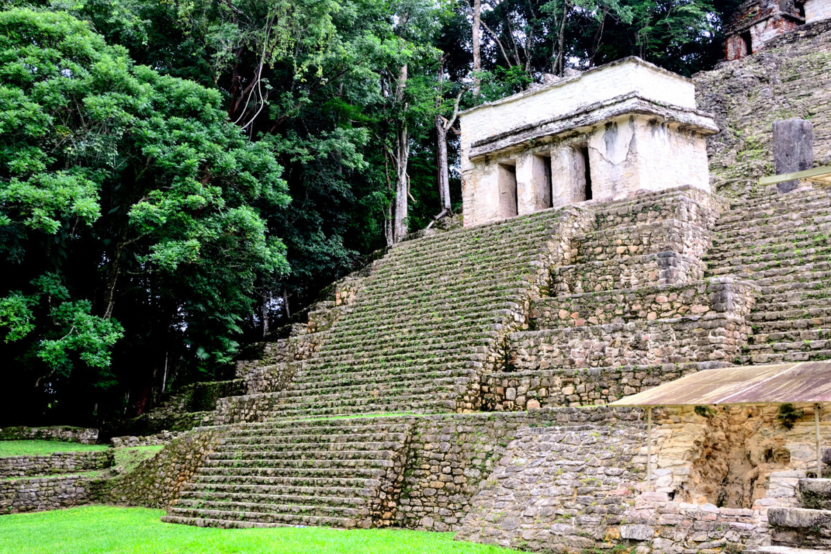
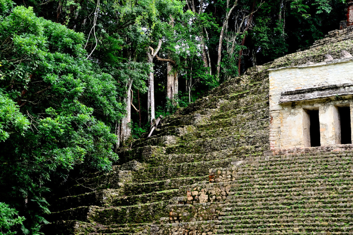
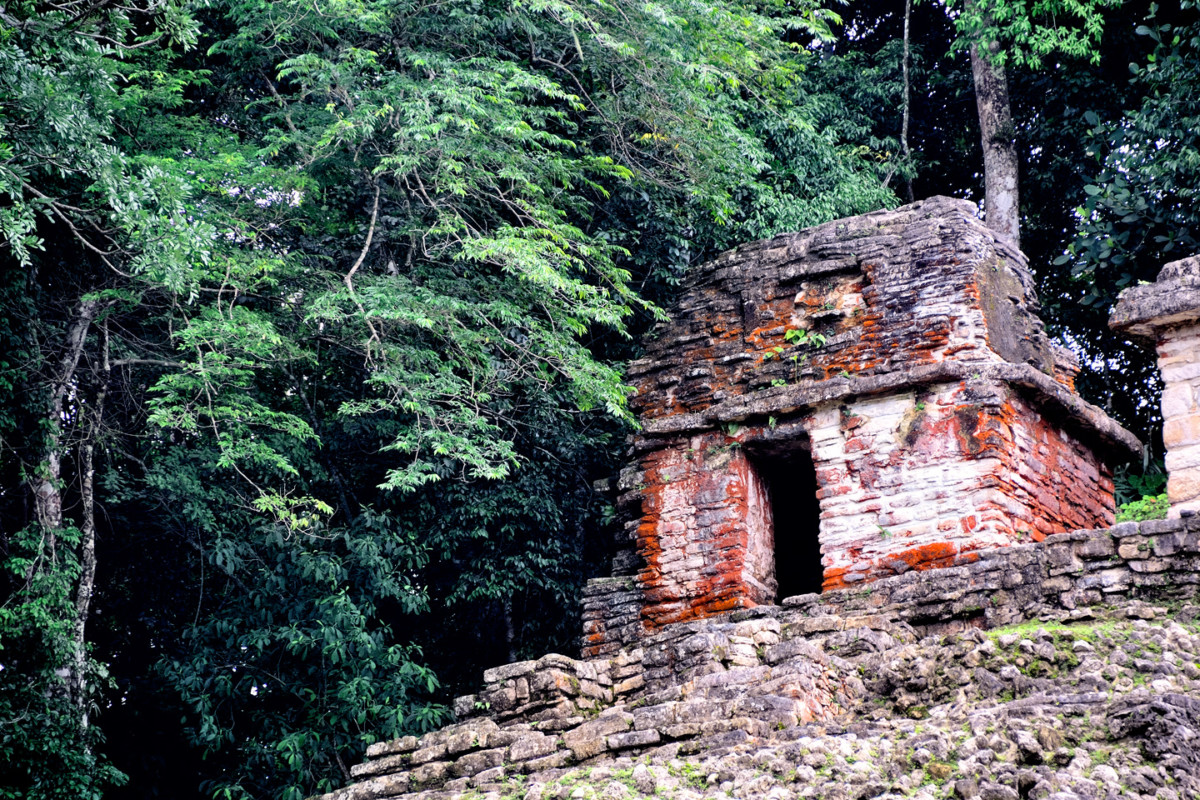
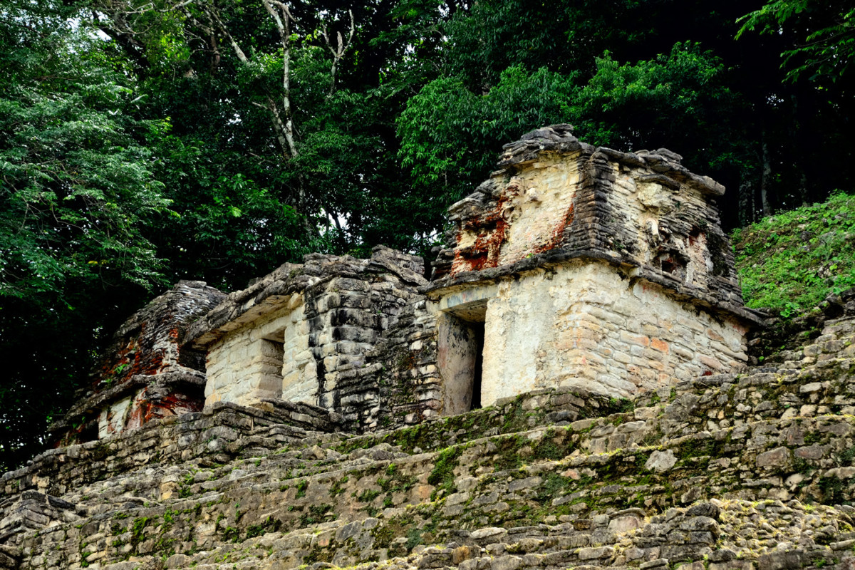
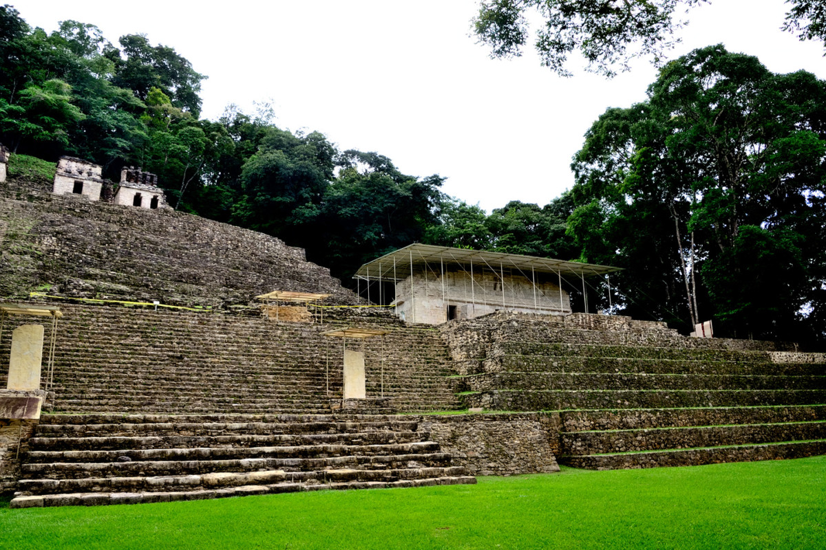
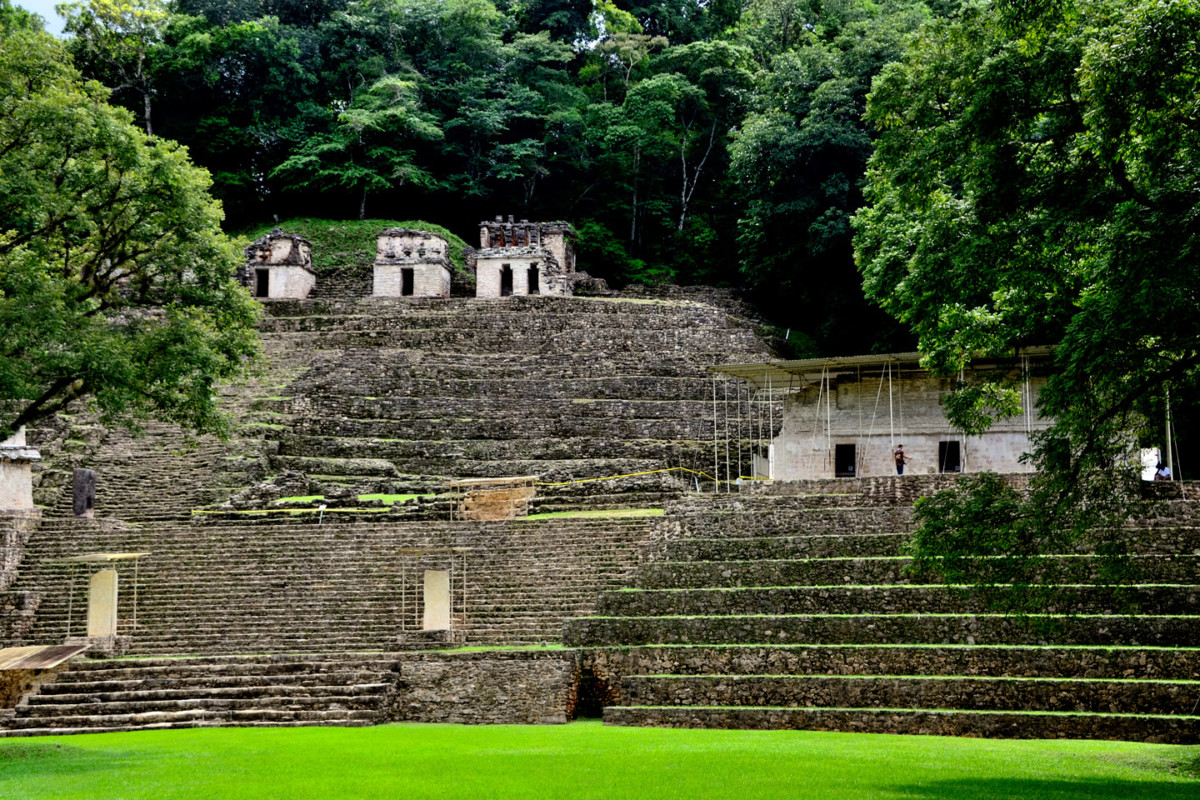
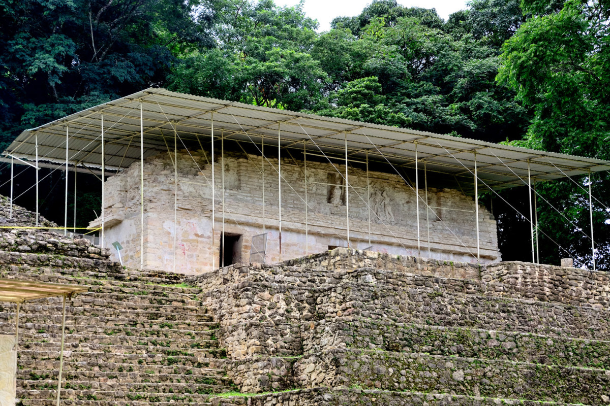
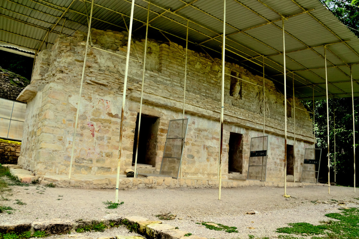
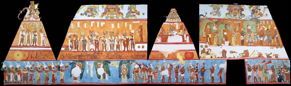
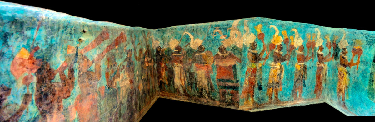
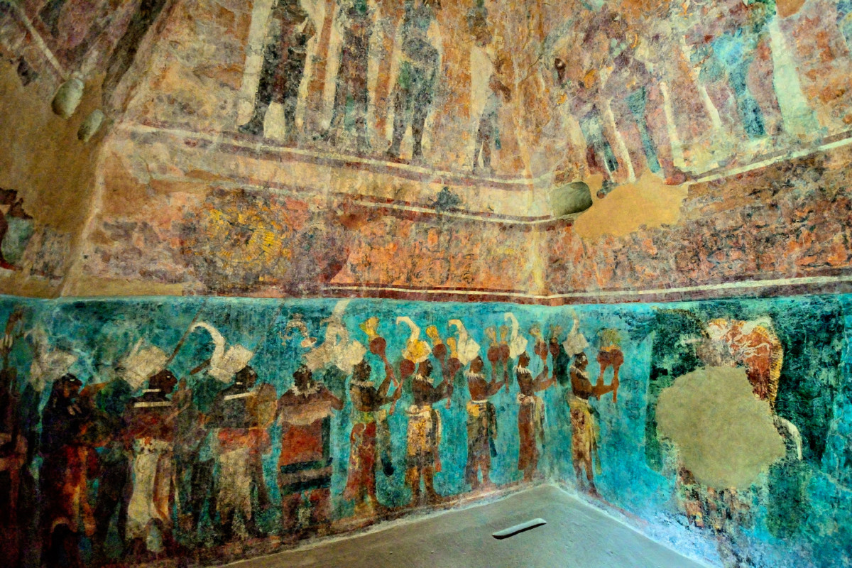
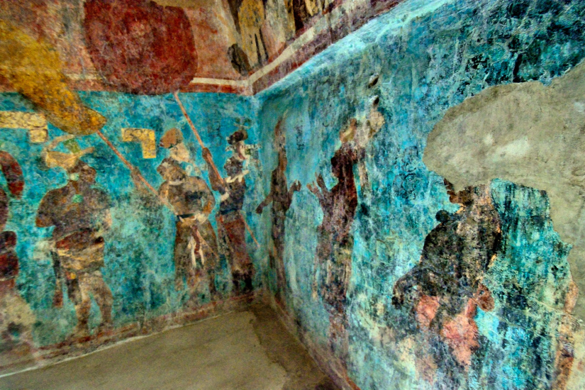
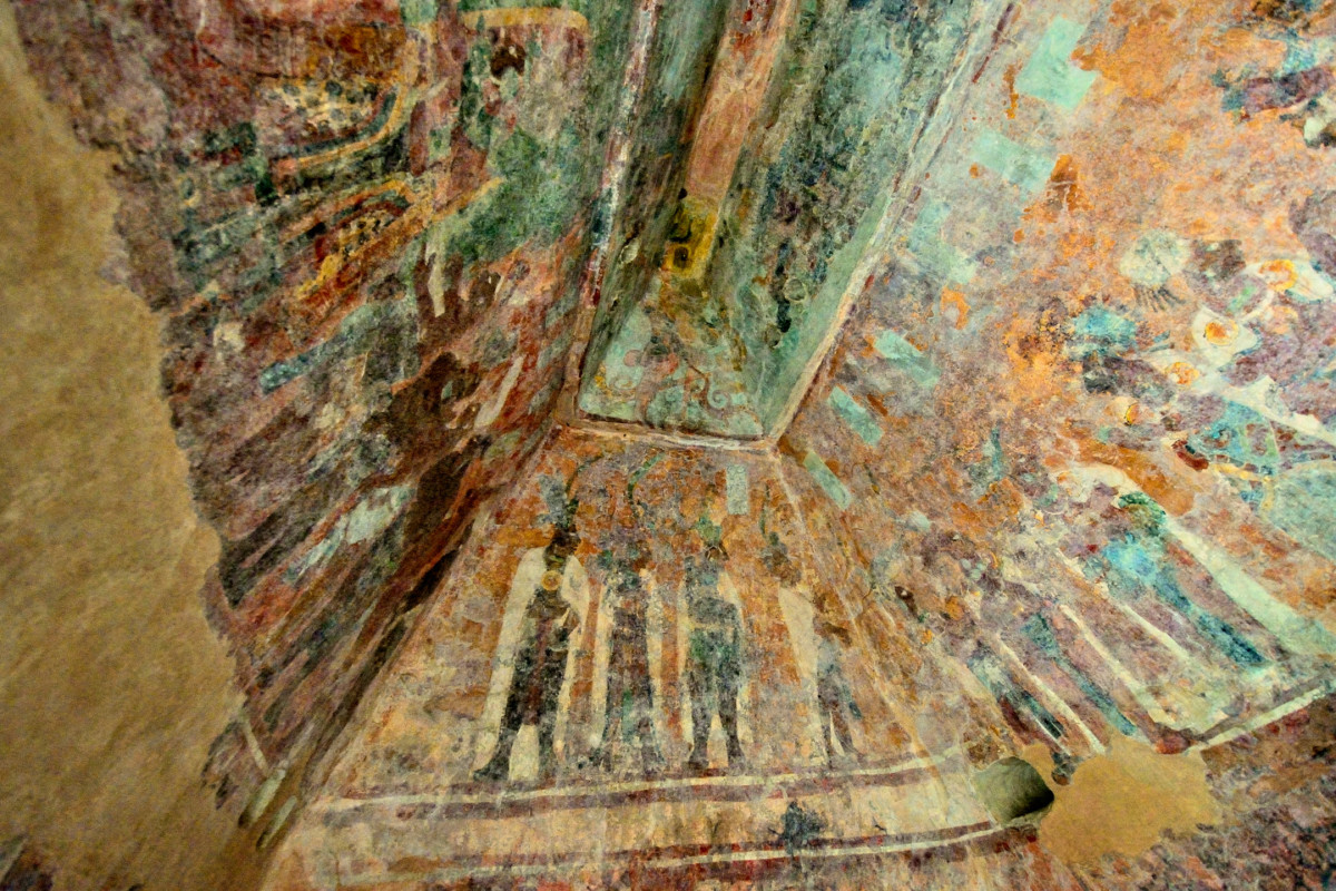
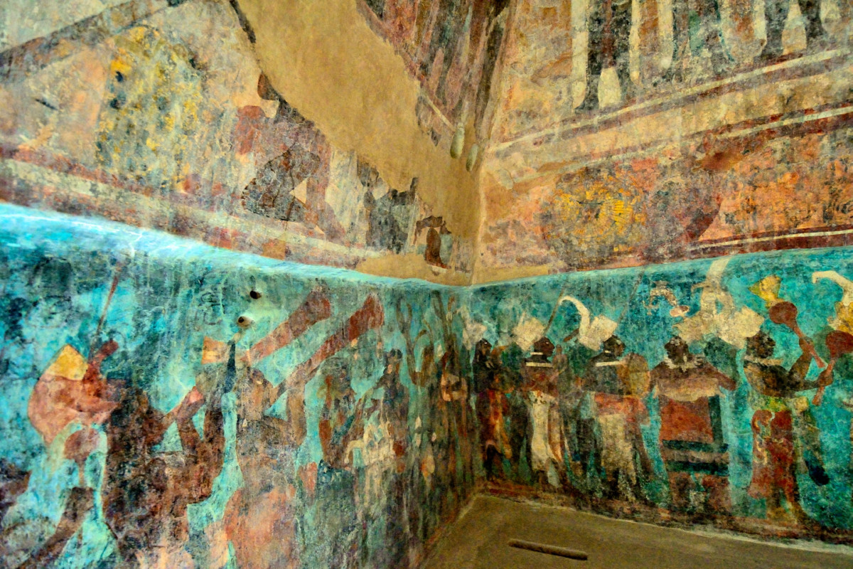
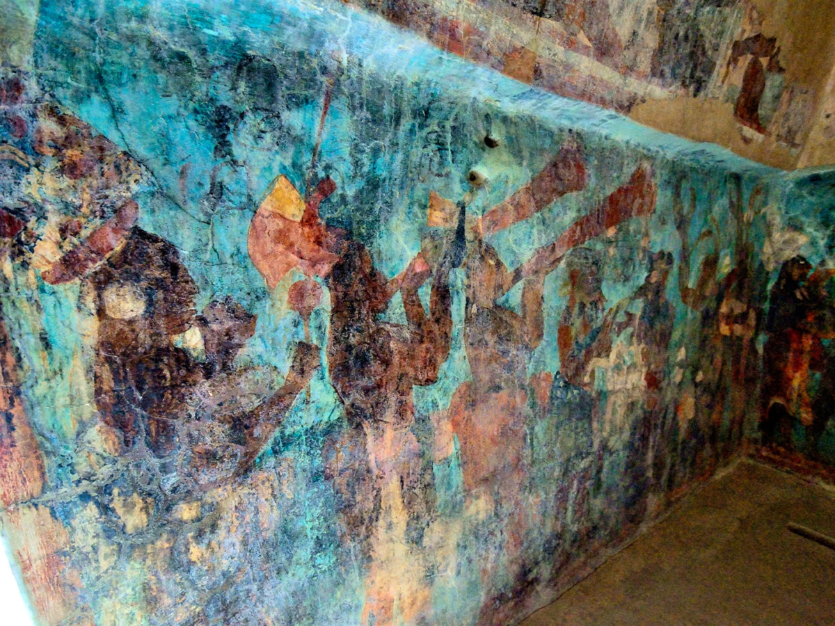
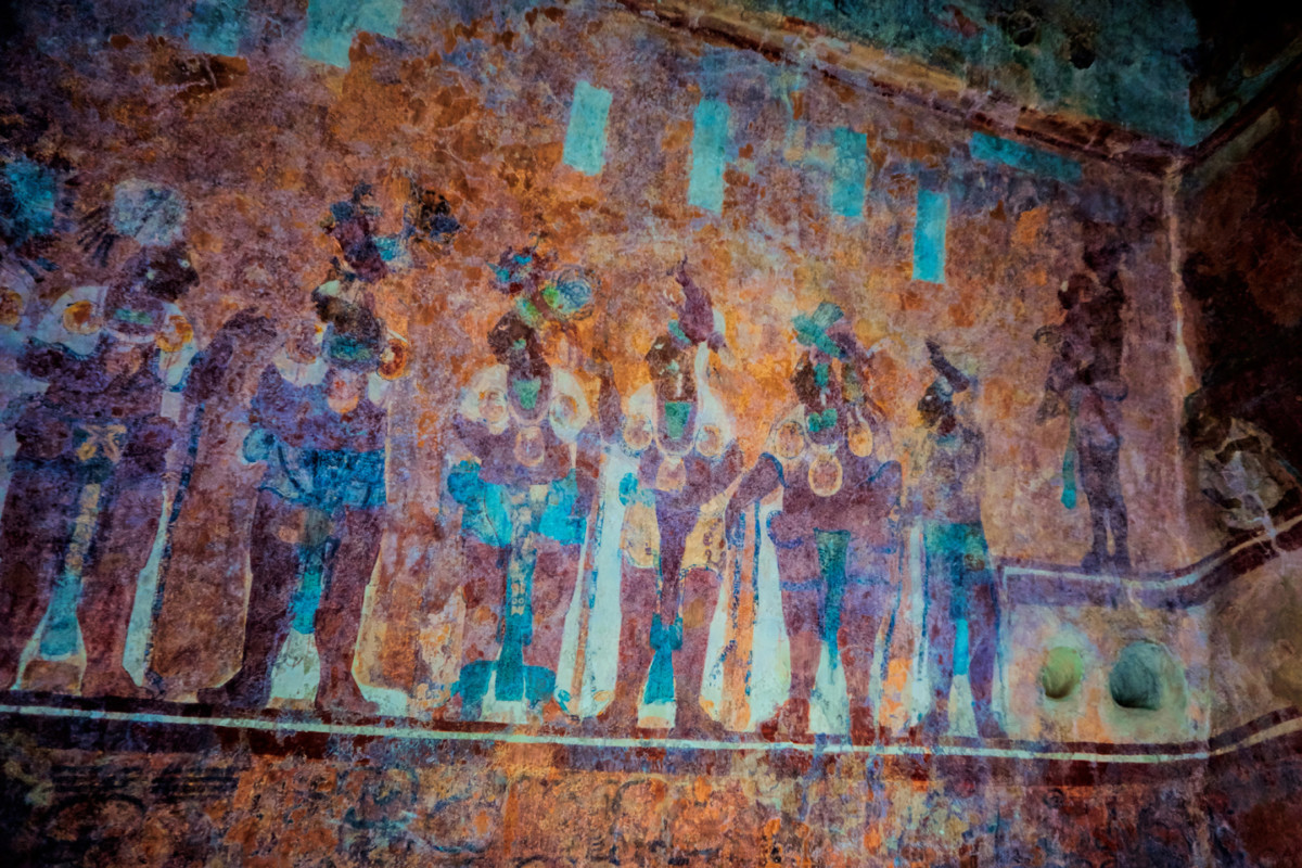
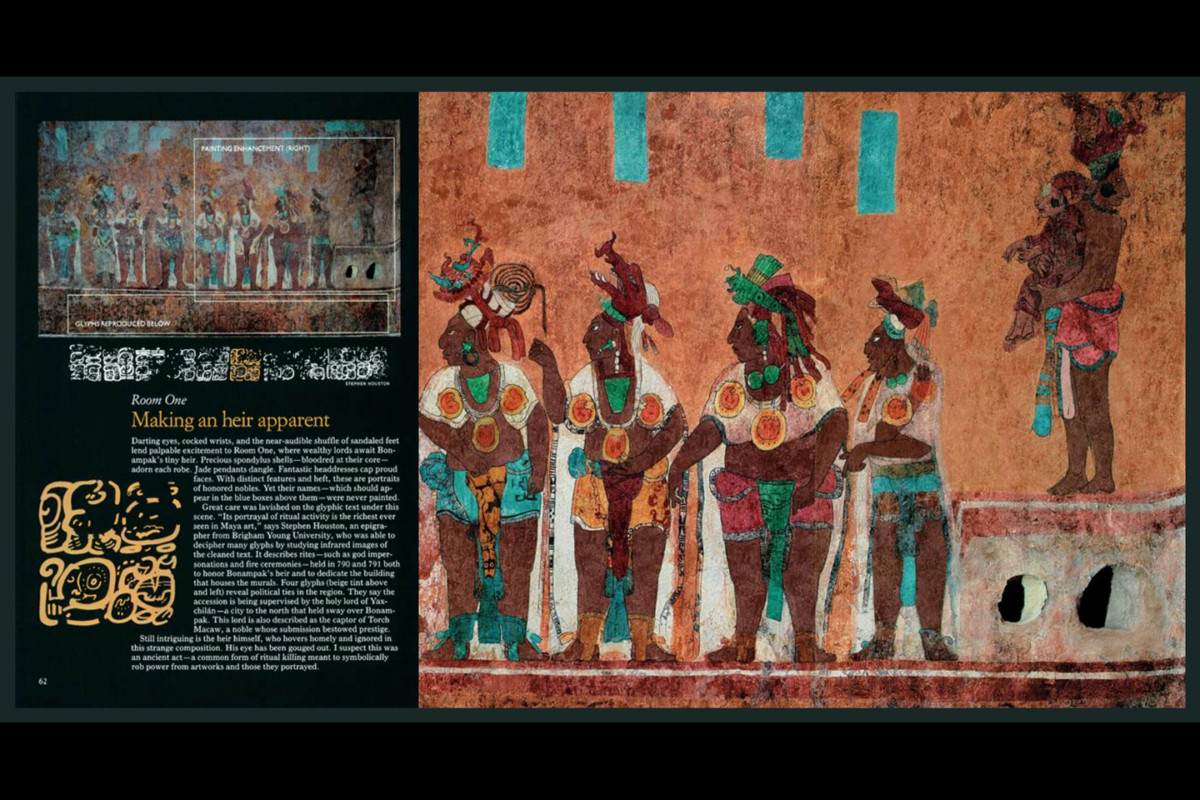
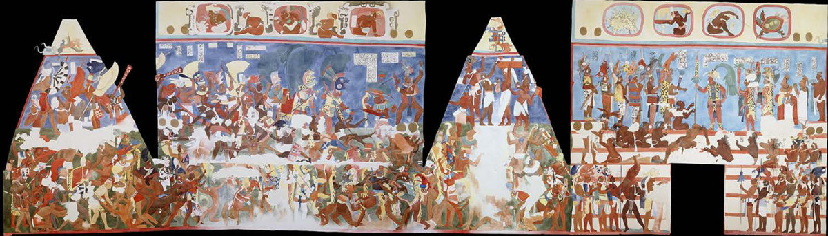
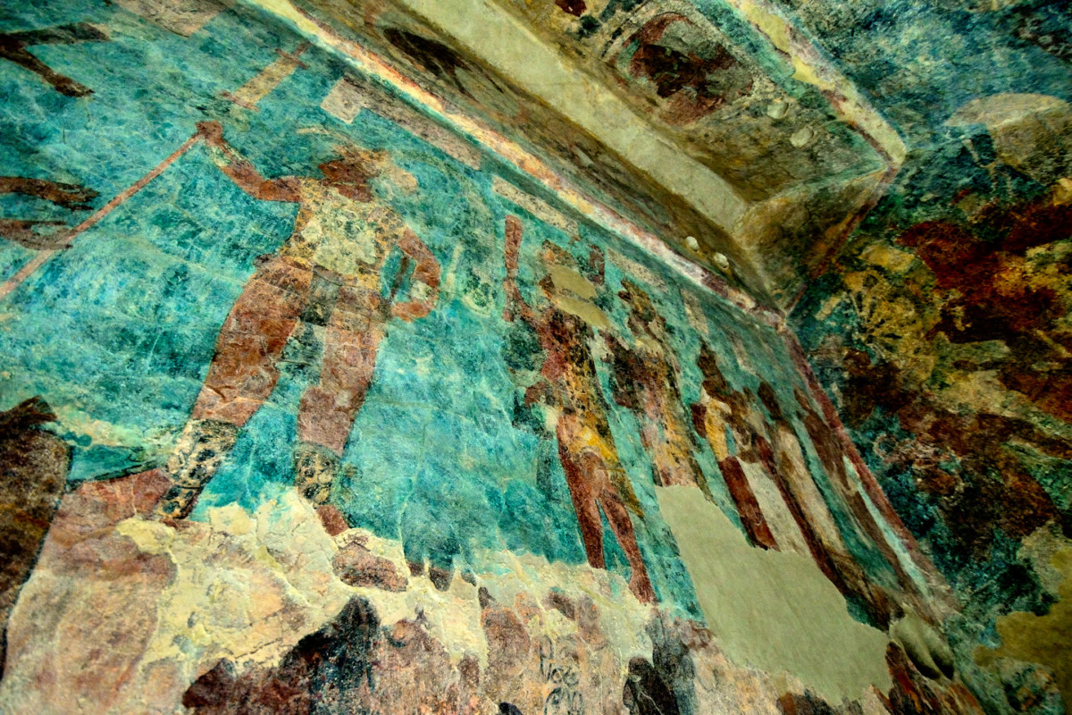
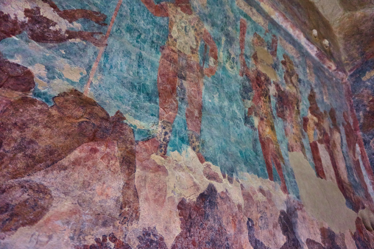
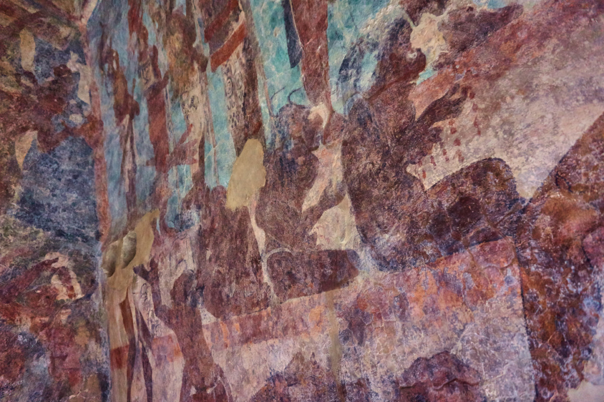
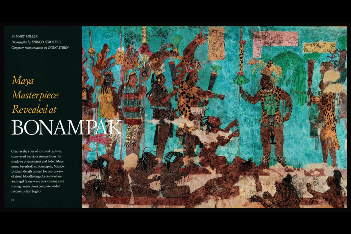
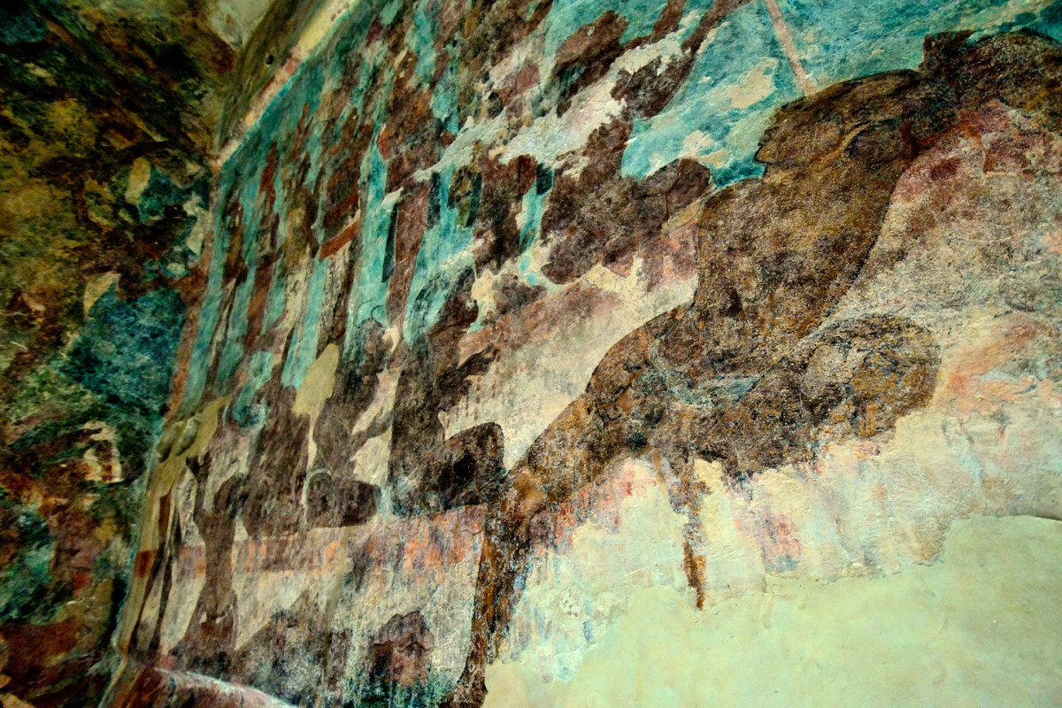
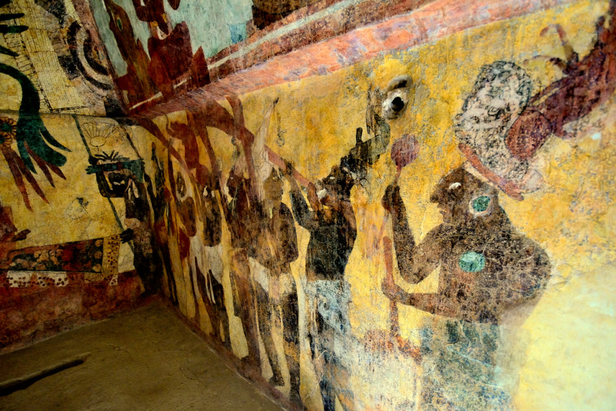
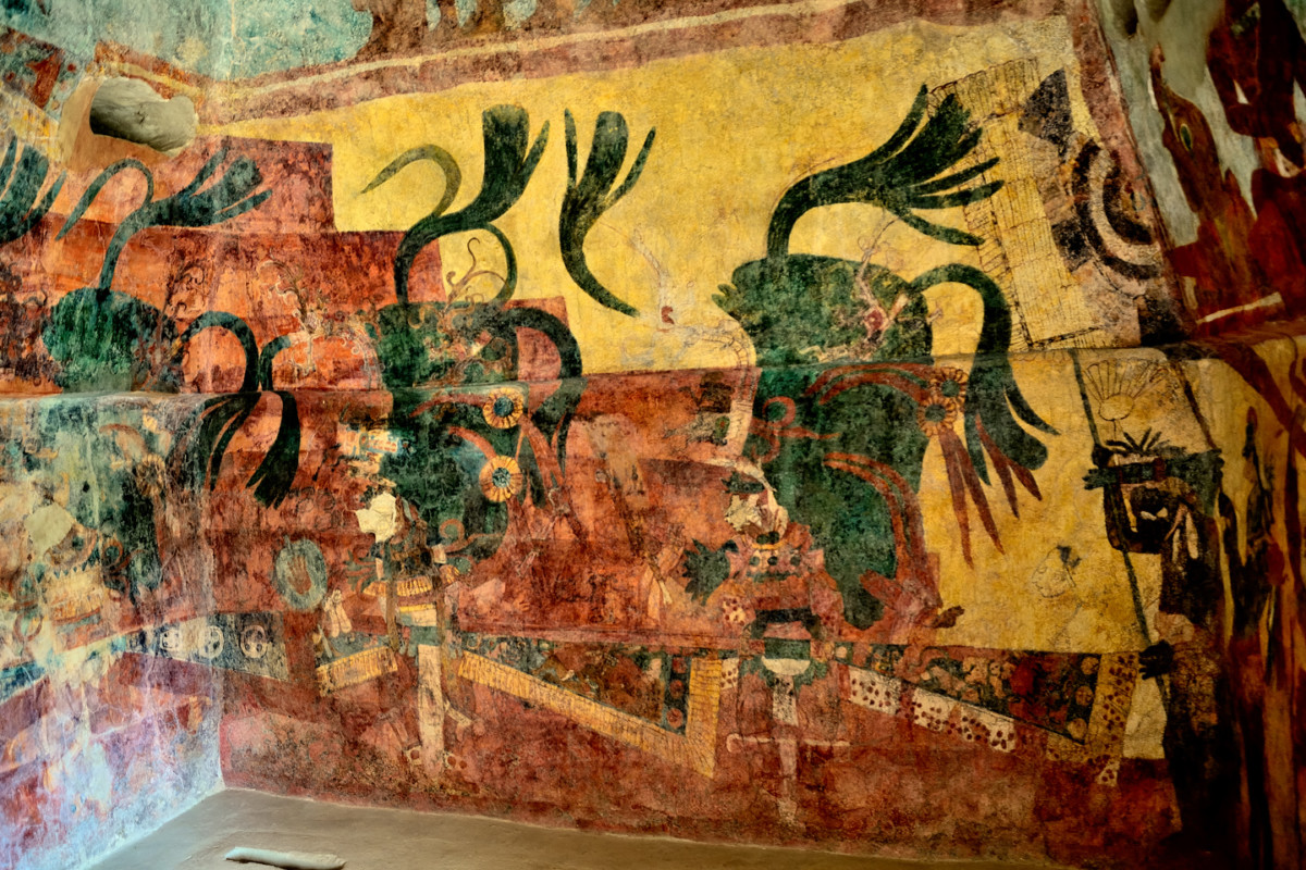
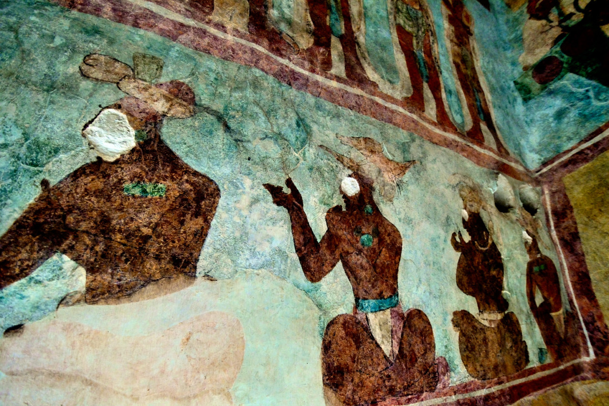
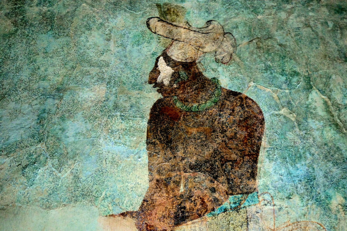
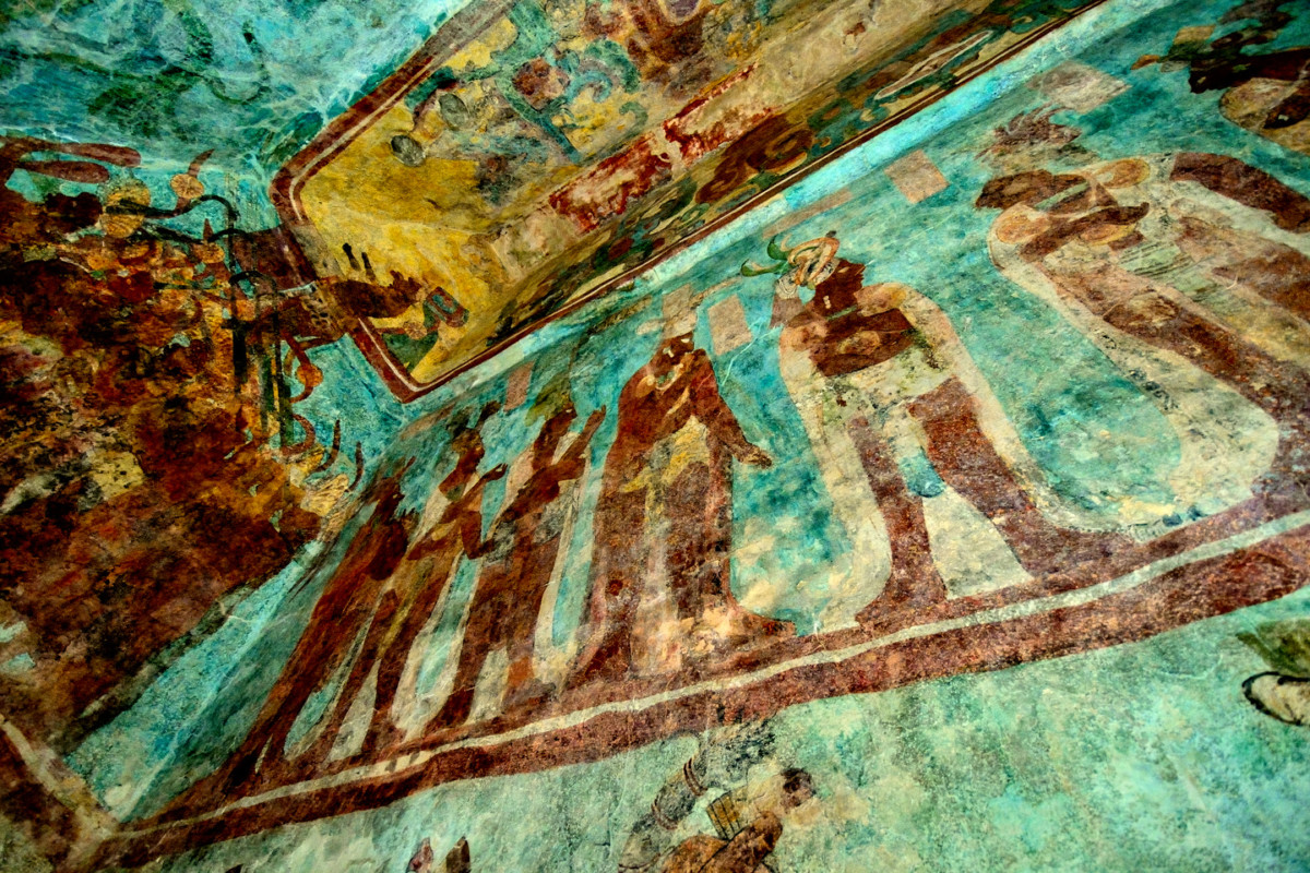
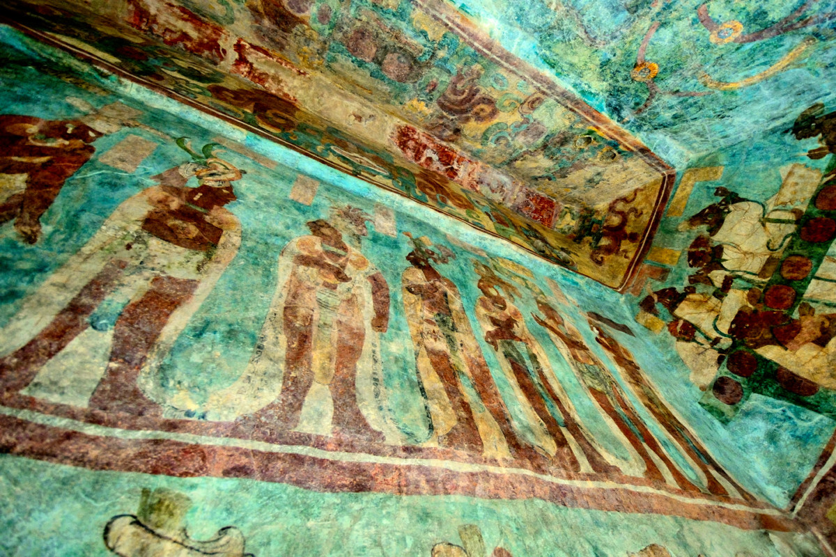
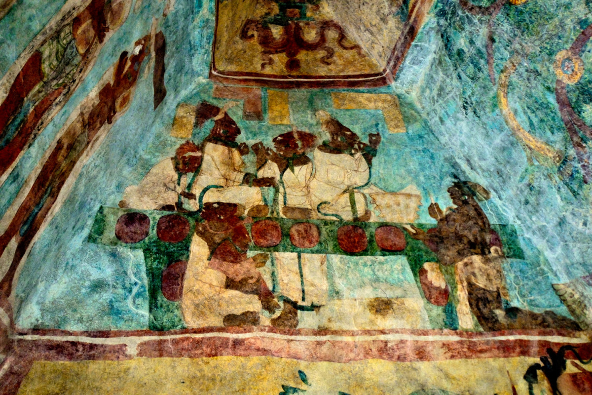
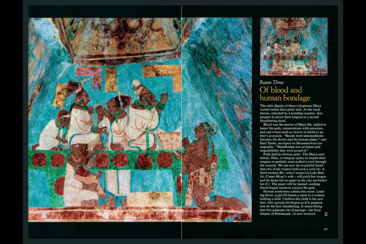
Next up: Bonampak, the City of the Painted Walls


 Reply With Quote